California · February 2016
Even if you're not a climber, it's easy to appreciate the other-worldly forms of the rocks at Joshua Tree National Park, many of which are named things like “Face Rock” or “Skull Rock”.
Located about 130 miles from Los Angeles, you can see much of Joshua Tree in a single day, but you can also camp and do some night hiking for some of the best views of the stars in Southern California.
The scenery comes easy here—many of the park's landmarks are adjacent to the parking areas.
Most of the established hiking trails at Joshua Tree are short, flat, and have obvious foot paths.
Not all sections have mileage markers, though, and if you are hiking in the desert, it is a good idea to bring plenty of your own water.

Arch Rock: 33.985989, -116.017001
One of the easy hikes I would recommend is the Split Rock Loop.
It is just under 3 miles long, including a detour to Face Rock, with minimal elevation gain.
Nearby is Skull Rock, which you can see from the side of the road.
There are also a bunch of narrow slots in the area you can scramble up for better views.
Last year, I hiked the Barker Dam Nature Trail.
It is one of the few areas in the park with a water feature.
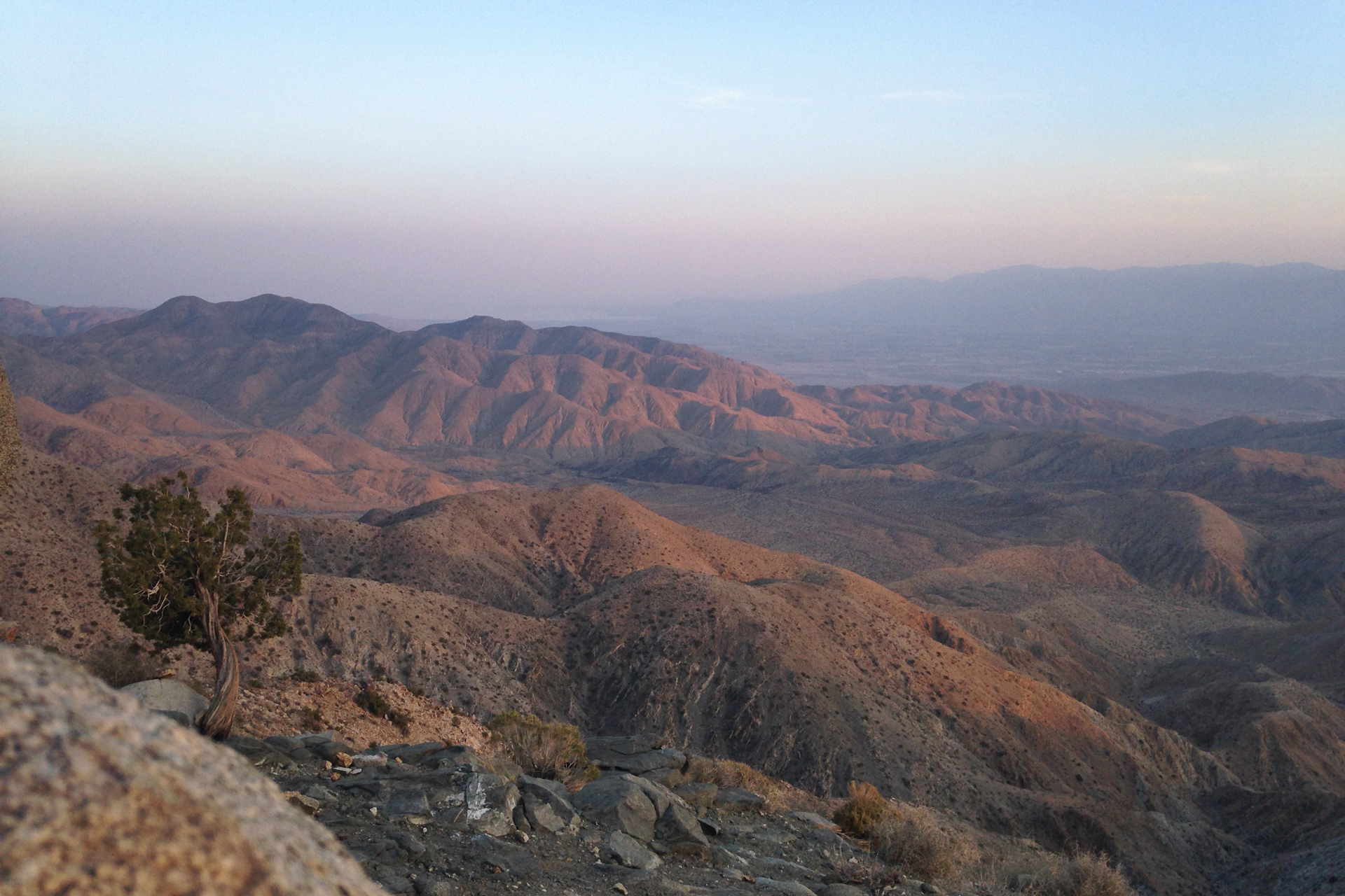
A drive to Keys Views is an easy way to get a higher elevation perspective at Joshua Tree.
On a clear day, you can see past the Salton Sea, and watching the sun set here is awesome.


Keys View: 33.927001, -116.187402
Directions
Joshua Tree National Park is located 130 miles east of Los Angeles and accessible from Interstate-10 and CA Hwy 62.
1
Arch Rock: 33.985989, -116.017001
2
Split Rock Loop Trailhead: 34.009693, -116.055780
3
Skull Rock: 33.997863, -116.059828
4
Barker Dam Nature Trail: 34.024984, -116.142117
5
Keys View: 33.927001, -116.187402
More Stories


