Washington · August 2014 & October 2015
Hike Summary
Distance:
8 - 9 miles out and back
Total Elevation Gain:
2,280 ft
Starting Elevation:
3,400 ft
Highest Point:
5,580 ft
Hike Time:
5 - 6 hrs
Difficulty:
Difficult
Seasons:
June - October
Dogs:
Not Allowed
Pass Required:
The Enchantments is an area of alpine lakes near Leavenworth, Washington widely regarded as one of the most beautiful hiking destinations in the Pacific Northwest.
Visiting the Enchantments usually involves two separate cars, getting a camping permit, awarded by lottery, and hiking one-way from one of two major approaches along Icicle Road.
If you're up for the challenge, you can go for a long and exhausting day-hike to the Upper Enchantments Zone by ascending nearly 2,300 feet to Colchuck Lake, then gaining another 2,000 vertical feet up Aasgard Pass at the far end of the lake.
The path to Colchuck Lake begins by following the Stuart Lake Trail, and the first section of the hike has plenty of shade.
At 1.5 miles, you will cross a log footbridge over Mountaineer Creek.
Upon reaching the boulder field on the opposite side of the bridge, you will have to pay close attention to the path as it heads southwest (right) along the creek for a short distance.
Looking up at the peaks above, you can get a sense of your overall bearing and how much more the trail ascends from here.
Three-quarters of a mile after the bridge, you will reach a junction, continuing southwest to Stuart Lake and splitting south (left) to Colchuck Lake.
The trail to Colchuck Lake marches upward through more forest and over another creek crossing before reaching a clearing for views of the valley below.
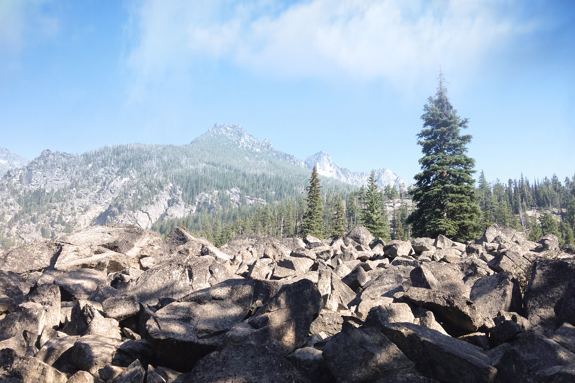
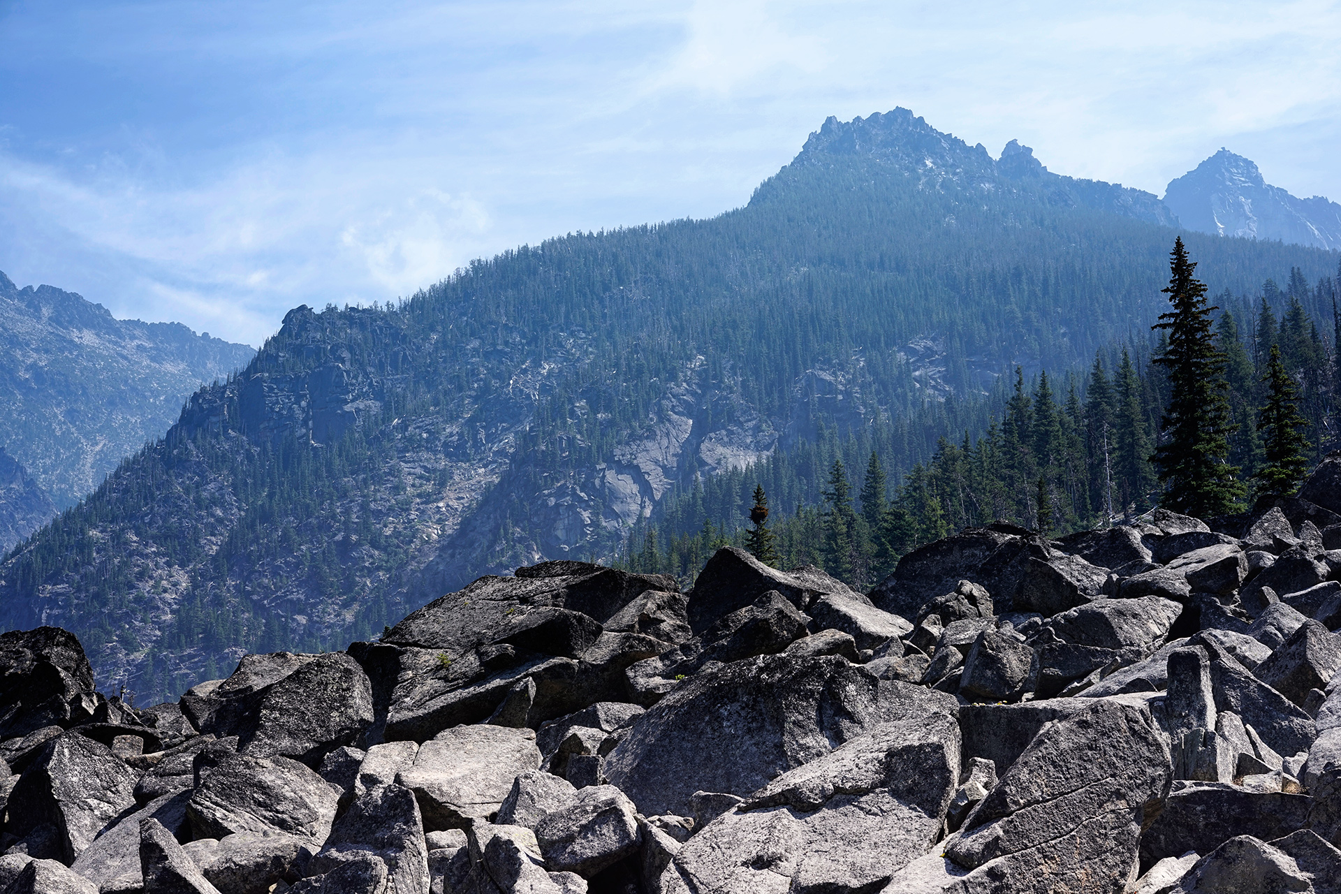
The lower and upper sections of the boulder field after crossing Mountaineer Creek
As you get closer to the lake, the trail gets steep and rocky in some areas.
Past the upper clearing, you will reach the northern throat of the lake after a brief push.
On a sunny summer day, you can soak in views of Dragontail Peak across the stunning blue-green lake.
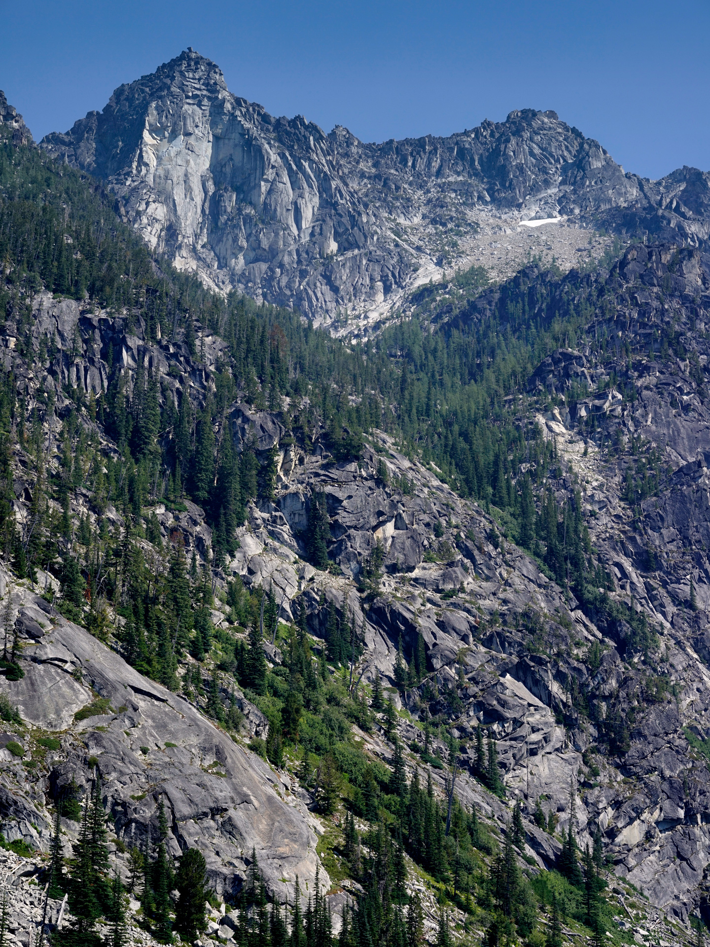
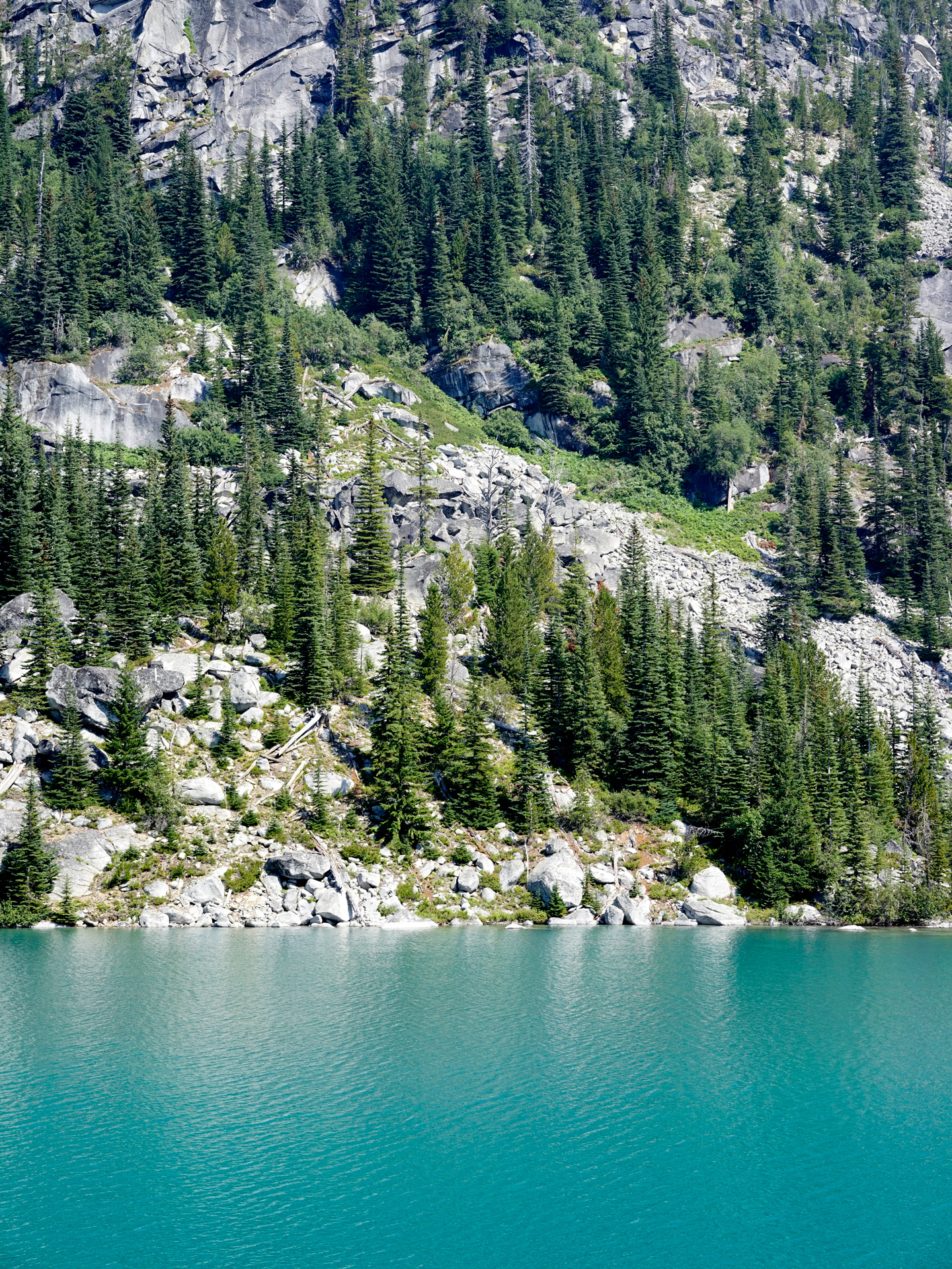
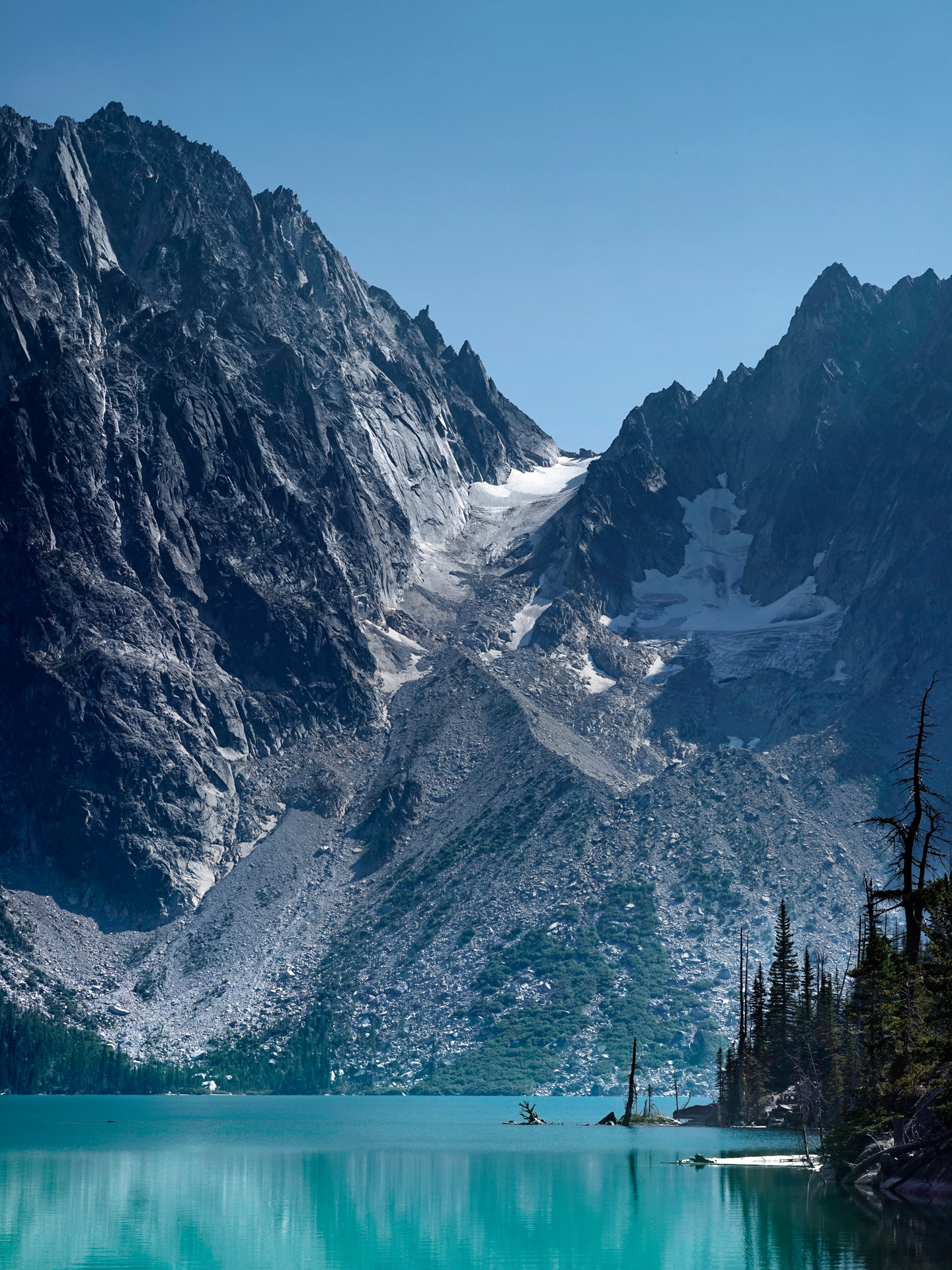
Colchuck Lake, with Dragontail Peak at the far end
To explore more or continue toward Aasgard Pass, you will follow the faint trails along the lake's western shore.
At the south end of the lake, there is a beach below the boulder field that makes for a great campsite or resting spot.
Getting to the base of Aasgard Pass requires a ton of scrambling over this rocky area, and the trail can be difficult to navigate.
Fall Scenery
Upon realizing the Enchantments were within reach at Colchuck Lake, I told myself I would return better prepared someday and attempt the hike up Aasgard Pass.
This Fall, the weather and exhaustion kicked my ass, and I failed to reach the Enchantments, but I would say the hike to Colchuck Lake was a fine concession.
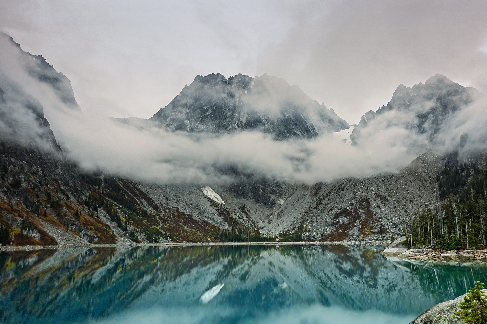
Colchuck Lake and Dragontail Peak
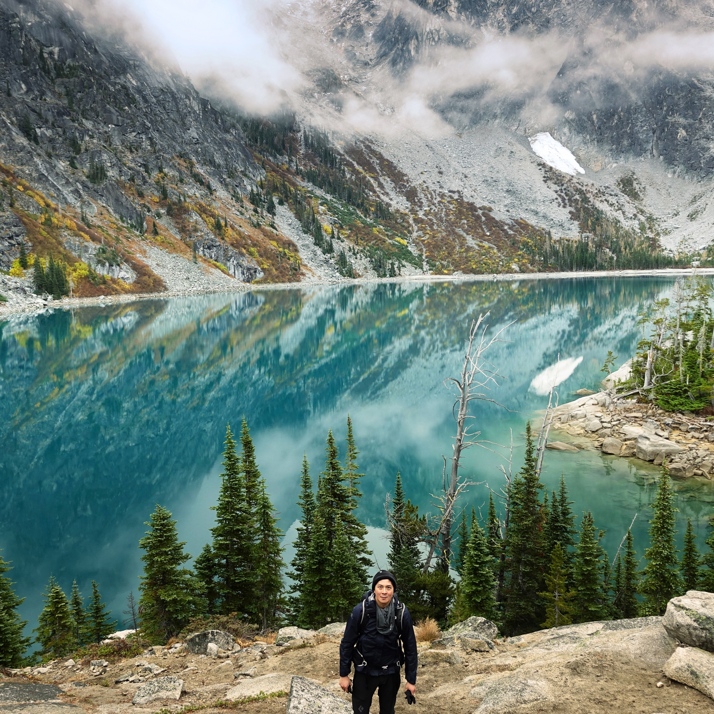
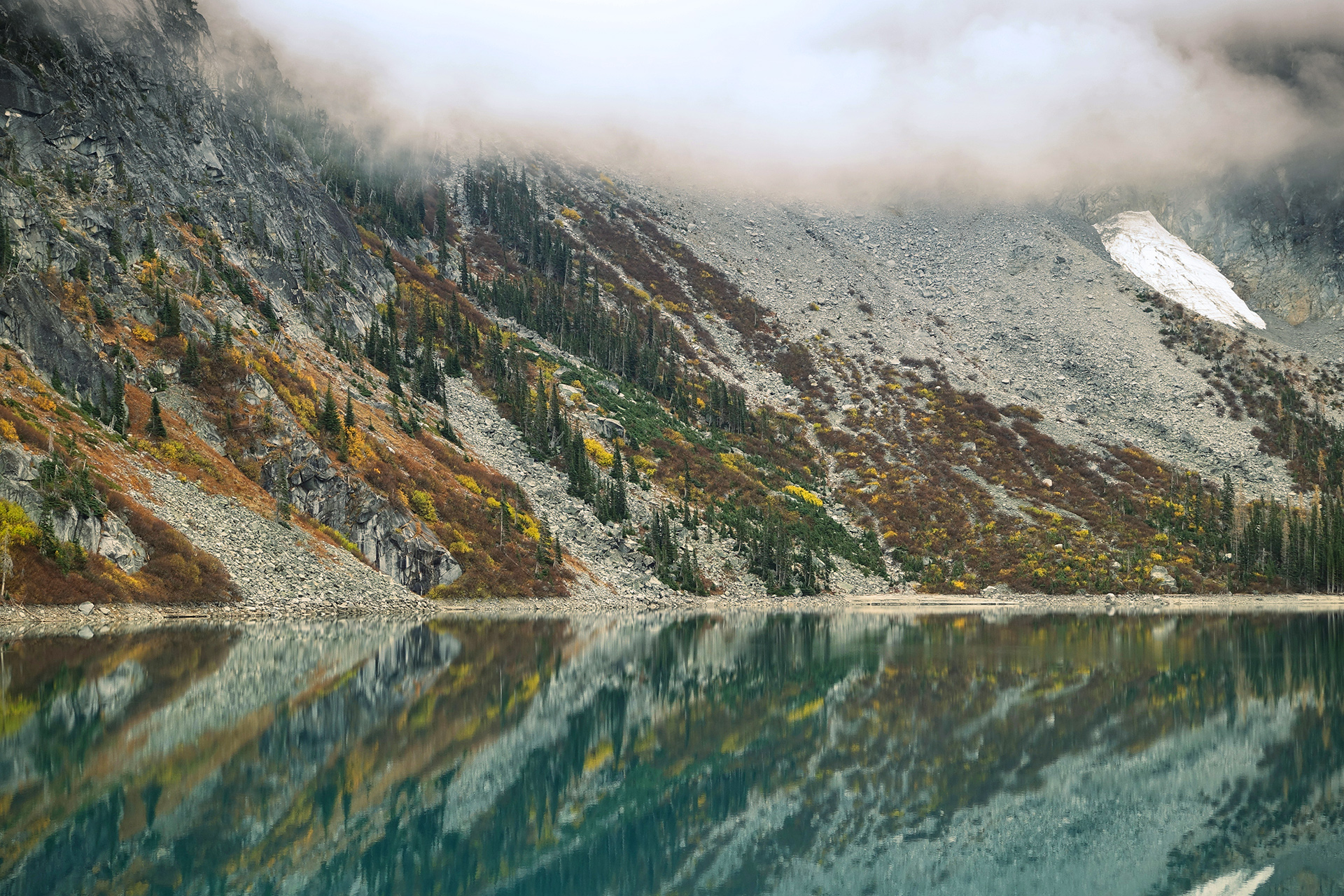
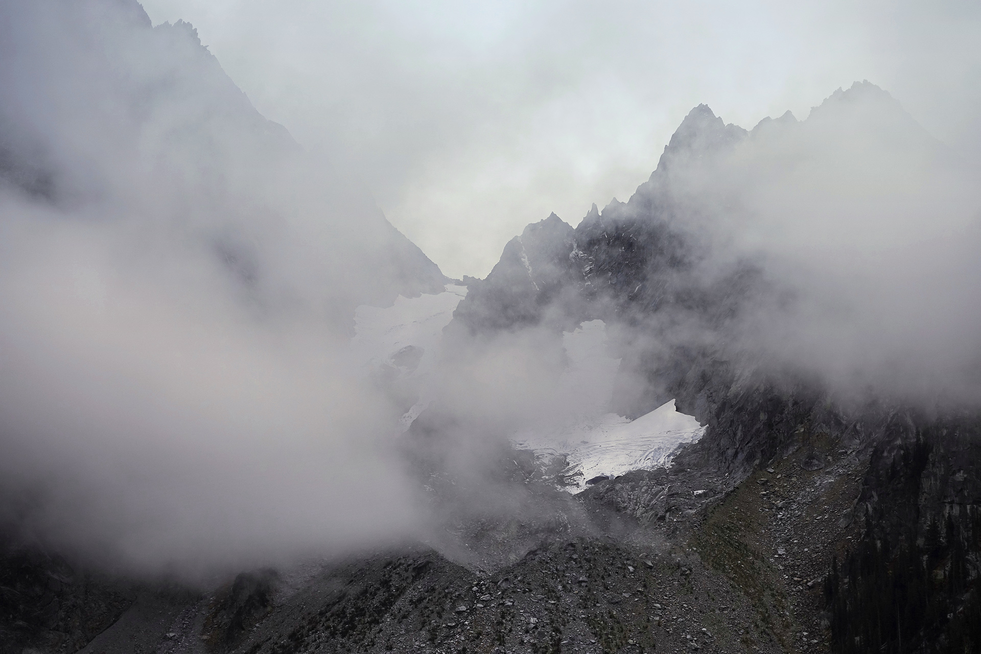
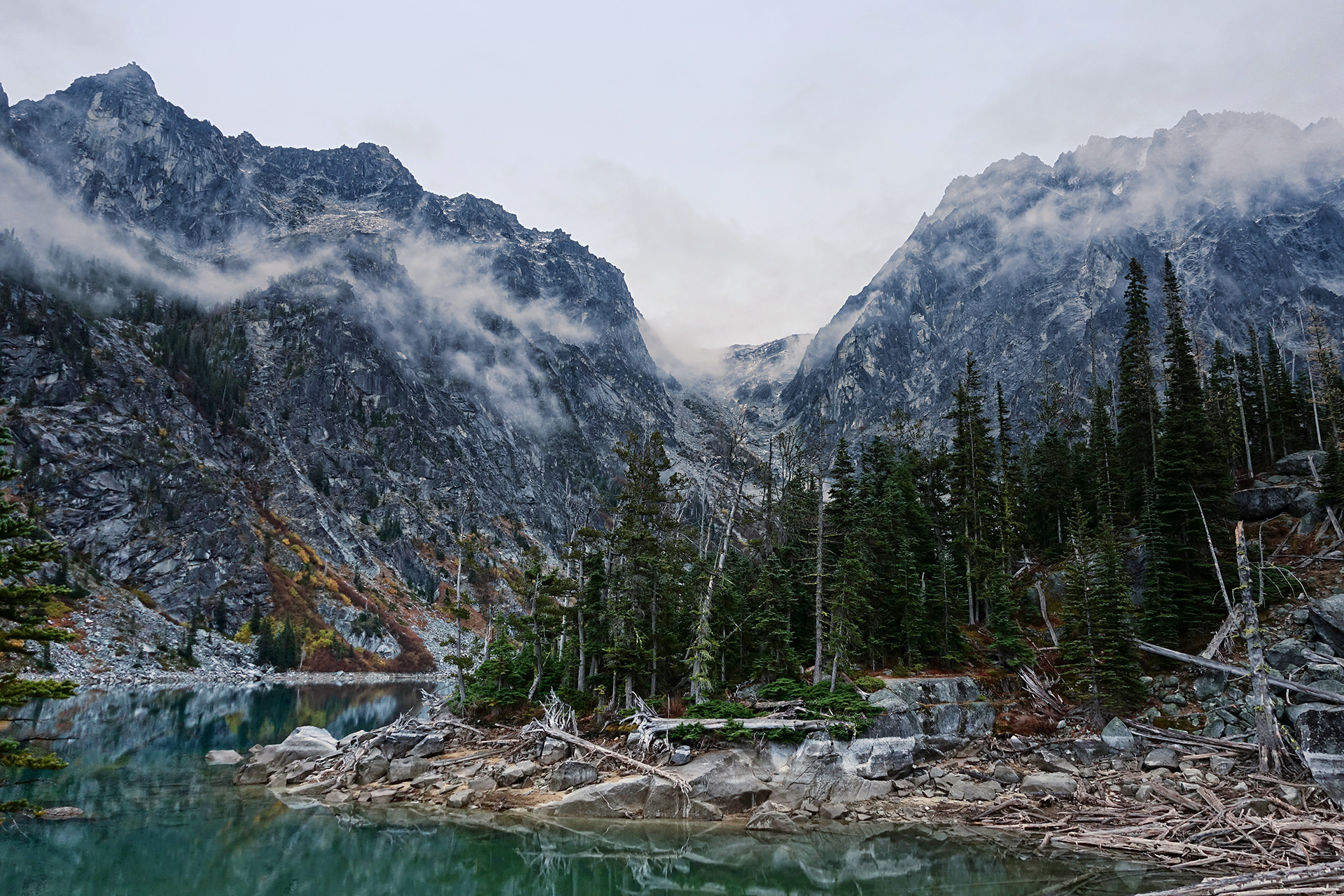
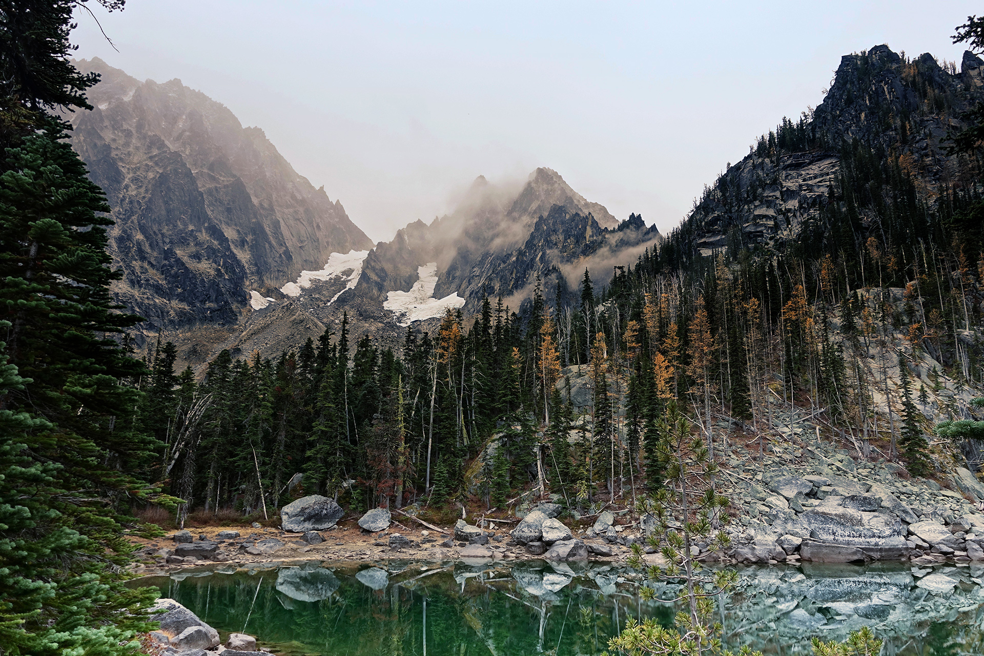
A pond on the way to the far side of Colchuck Lake
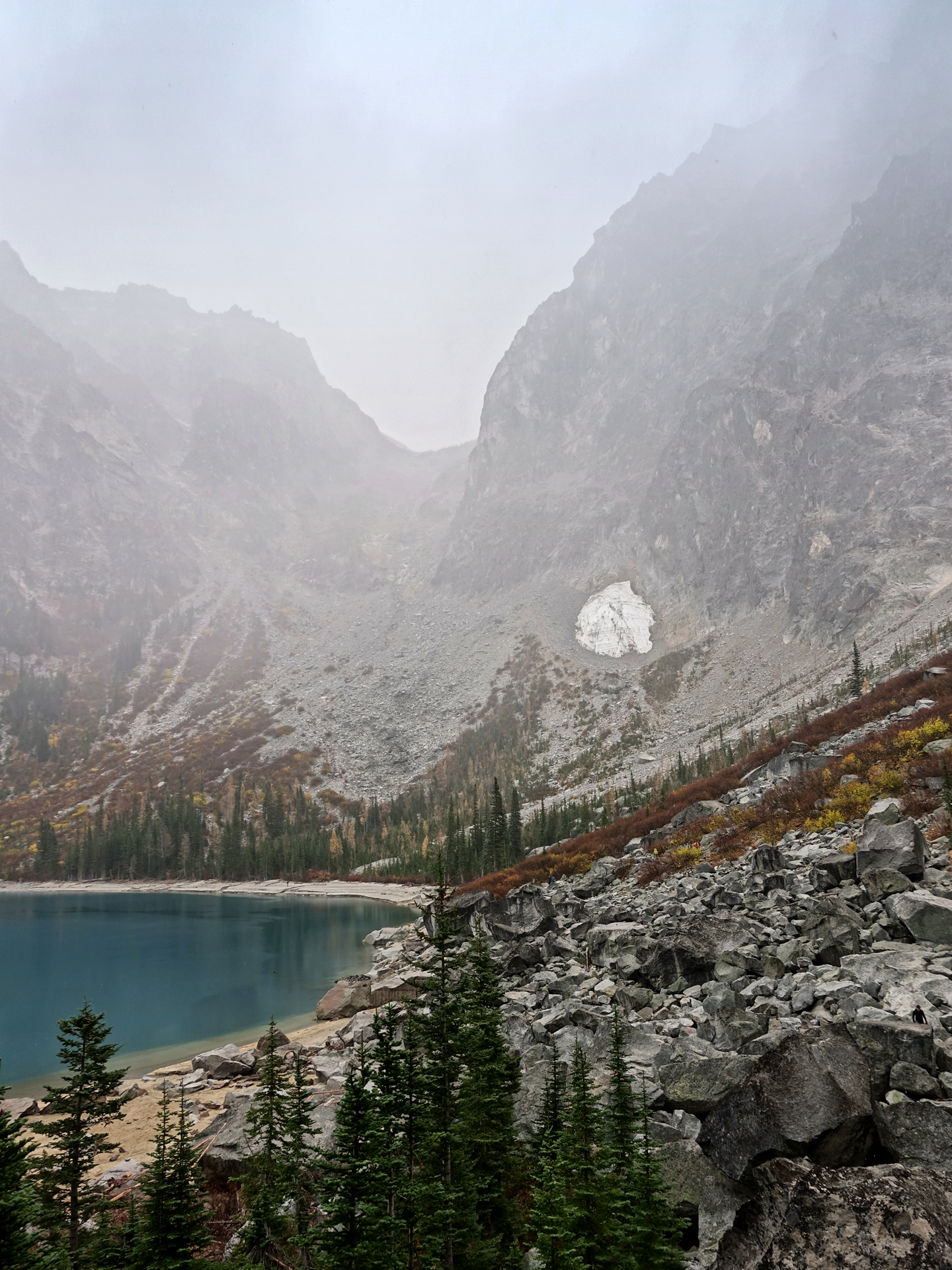
Aasgard Pass on the other end of Colchuck Lake
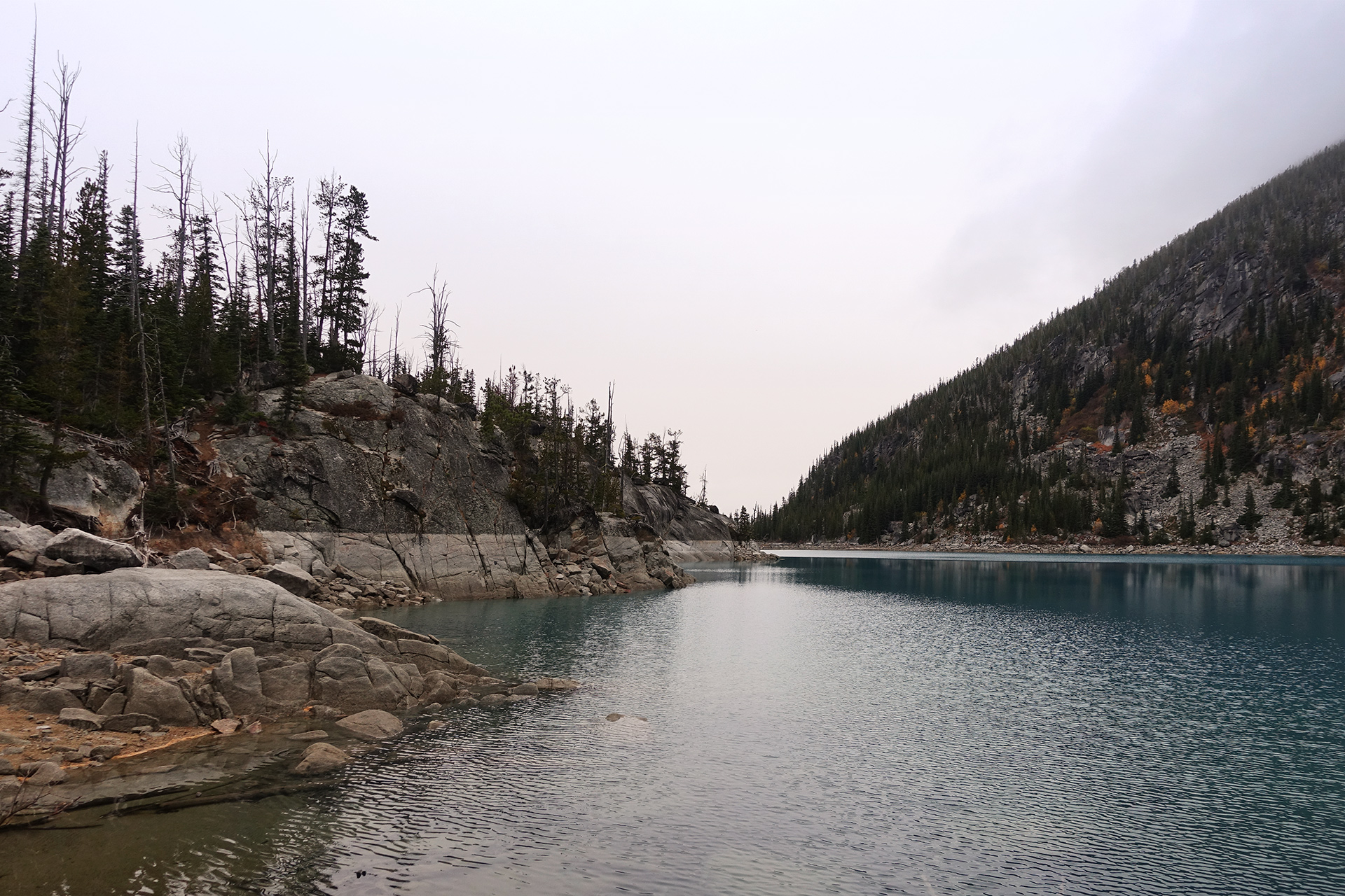
Heading out of Colchuck Lake toward its northern throat
Directions
The starting point for Colchuck Lake is marked as the Stuart Lake Trailhead, located about 45 minutes drive southwest of Leavenworth, Washington via Icicle Road and NF-7601.
1
Trailhead: 47.527870, -120.820772
2
Colchuck Lake: 47.498297, -120.833316
More Stories


