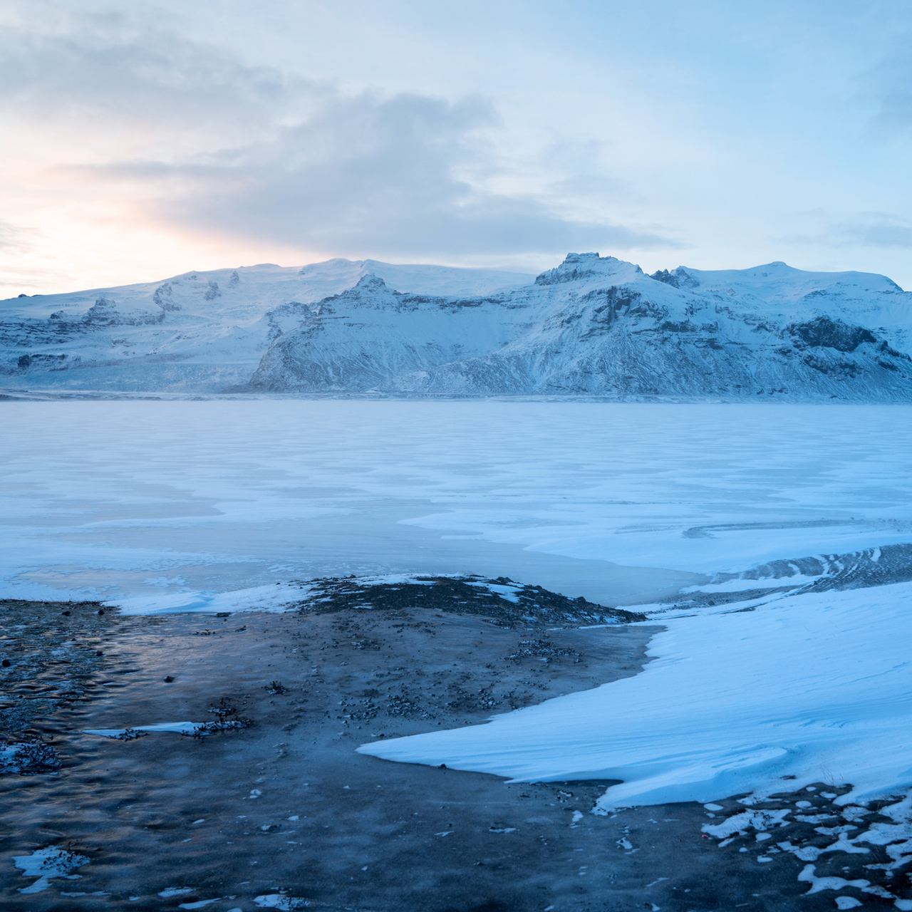
Iceland · August 2016
Within a land mass about the same size as Ohio, there are active volcanoes, lava fields, glacial rivers, geothermal pools, and waterfalls everywhere in Iceland.
I spent two 2 weeks in Iceland and had just enough time to drive around the Ring Road as well as parts of the interior highlands and western fjords.
For shelter, I had booked places to stay well in advance for the beginning and end of the trip, but I left 5 nights open-ended in the middle of the trip.
Campsites are everywhere in the country, so bringing a tent and a camper Jeep afforded some flexibility.
The Blue Lagoon
Starting the trip at The Blue Lagoon is the perfect antidote to jet lag.
Booking premium tickets in advance allows you to skip the long lines coming from the airport bus.
The Silica Hotel is a short walk away, and it features its own private, smaller geothermal pool.


Reykjavik
Staying in Reykjavik for a night gave me a chance to stock up on the food, water, and supplies I needed for the rest of the trip.
The city is very small and entirely walkable, so staying anywhere in the city center puts you close to a bunch of shopping, cafes, and restaurants.
On one end of the city is Hallgrimskirkja, which hosts organ recitals in the summer, and at the other end are the docks where you can get some great seafood.

A view from Hallgrimskirkja

Hallgrimskirkja


Harpa Concert Hall
Hiking Reykjadalur Hot Springs
2.4 miles out and back, 683 feet vertical gain
Driving an hour east of Reykjavik, Reykjadular Hot Spring is a good starter hike.
Along the trail are active steam vents, and just over a mile in, you can soak in a shallow river heated by natural geothermal activity.
There are a few outdoor changing areas, and plenty of spots along the river to hang out.


The trailhead is located next to Hot River Coffee 64.022667, -21.211756
Gulfoss Falls
Gulfoss is perhaps the most impressive waterfall along the Golden Circle.
The view from the approach makes the water seem to disappear into the ground, but it actually ends up in a ravine which you can see from the far side of the falls.


Landmannalaugar
Landmannalaugar is an incredible hiking area in the interior highlands accessible only by high-clearance 4x4 vehicles.
To get here and out requires a full tank of gas, maybe some extra gas, patience for bumpy roads, and the guts to ford a bunch of shallow rivers.
High rain boots are useful to bring in order to check the river depths before attempting to cross them.
The payoff is an alien landscape rich with color and form.


The Brenisteinsalda Campsite is a convenient base for adventures in the area.
It is well appointed with hot showers and a small cafe in the form of an old bus.
Blahnukur (Blue Peak) is just one of the many hikes nearby.
The 4-1/2 mile roundtrip hike is perfect for experiencing the surreal landscape from high up.

The start of the Blahnukur Hike

The view from halfway up Blahnukur
Ring Road: South

Along the Ring Road, near Hofn
Reynisfjara
Near the town of Vik at the south of Iceland is Reynisfjara, famous for the basalt columns which characterize the adjacent cliffs.
The ocean waves crash into a series of sharp sea rocks dotting the shore, and the effect of white sea foam on the black sand beach is stunning.


Svartifoss
Located just off the Ring Road at the edge of Skaftafell National Park, the campsite and trail to Svartifoss is easily accessible.
This 20 meter waterfall is small compared to others I encountered on this trip, but being surrounded by the hexagonal basalt columns made this a unique destination.
The hike to this waterfall is only 2-1/2 miles roundtrip, though the first section of the hike is steep.

Jokulsarlon
Despite the crowds and how easy it was to reach this place, the glacial lagoon of Jokulsarlon was definitely a highlight of the trip.
All sizes of ice fragments float in a lake left behind from the melting of the nearby Breithamerkurjokull Glacier field.


Stokksnes
The mountains of Vestrahorn are best viewed from the black sand dunes at Stokksnes, which is a short detour from the Ring Road in the southeast of the country.
You can purchase an entrance ticket to Stokknes at The Viking Cafe, located on the way in.

Ring Road: East


Seydisfjordur
There are dozens of waterfalls along the road as you ascend to the plateau above Seydisfjordur.
Heading east on Highway-93 into town, the most impressive waterfall is Gufufoss, located a few minutes drive from Seydisfjordur.

Gufufoss, near the town of Seydisfjordur


Seydisfjordur
Ring Road: North


Dettifoss
Europe's most powerful waterfall, Dettifoss, is depicted in the opening sequence of Prometheus.
There are two roads leading to either side of the waterfall.
In my opinion, the eastern entrance from Highway-864 offers a nicer view toward the greener western side of the waterfall.

Myvatn Naturn Baths
The Myvatn Naturn Baths are not as popular or large as The Blue Lagoon, but scenery surrounding the baths is in many ways more impressive.
The price of admission is also much lower, though mud masks and other amenities are not provided.
This place is definitely worth a stop if you're driving in the northern section of the Ring Road.


Akureyri
Akureyri, located in the north, is the second largest city in Iceland behind Reykjavik.
The entire downtown area can be walked by foot in less than an hour.


Isafjordur
Isafjordur is home to one of the best fish restaurants in Iceland, a place called Tjoruhusid.
I am skeptical of buffets, but this place really blew me away—it was the most memorable food experience I had in Iceland.
The restaurant alone is reason to stay a night in this town.

Dynjandi Waterfall
For whatever reason, Dynjandi Waterfall was nowhere on my radar when doing research about Iceland.
It is known as The Pearl of the Western Fjords and one of the most beautiful waterfalls in the country.
The waterfall is so large, it looks like a frozen, inaccessible glacier when seen across the bay.


West Fjords


Kirkjufell
Located on the north coast of the Snaefellsnes peninsula, Kirkjufell is said to be the most photographed landmark in Iceland.
This is not surprising, as there is no shortage of crowds in the way of your picture.
The iconic, symmetrical shape of the freestanding mountain justifies its name, which translates to Church Mountain.

Arnarstapi
Arnarstapi is an old trading post on the southern coast of the Snaefellsnes peninsula, just outside the Snaefellsjoekull National Park.
The short hike from here to Hellnar shows off some of the most beautiful coastline in the country, full of sculptural forms and volcanic textures.

Directions
The Ring Road circles Iceland, and there are many attractions right off the highway.
The interior highlands are accessible in the mid-to-late summer with a high-clearance 4x4 vehicle.
1
Reykjavik: 64.142037, -21.927129
2
Brennisteinsalda Camping: 63.990713, -19.060822
3
Stokknes: 64.255056, -14.993422
4
Seydisfjordur: 65.261242, -14.010258
5
Akureyri: 65.681398, -18.090009
6
Isafjordur: 66.068178, -23.126153
7
Kirkjufell: 64.928300, -23.310299
More Stories


