Washington · May, August, & October 2017
Hike Summary
Distance:
4 - 5 miles out and back
Total Elevation Gain:
1,120 ft
Starting Elevation:
1,423 ft
Highest Point:
2,415 ft
Hike Time:
2 - 3 hrs
Difficulty:
Easy
Season:
Year Round
Dogs:
Allowed on Leash
Pass Required:
Heather Lake has become my new year-round go-to hike.
It only takes a little more than an hour drive from Seattle to reach the trailhead, and the hike itself can be done in about 2 hours round-trip.
Sitting at a lower elevation than many of the cascade hikes, snow is not often much of a factor.
When there is snow, the trail itself is well protected against avalanches, and you won't often need more than some microspikes for traction.
The trailhead is located just off the Mountain Loop Highway, less than 2.5 miles east of the Verlot Ranger Station, where you can buy a Northwest Forest Pass or National Parks Pass.
The parking area has an outhouse, and the trailhead is easy to find.
There are a few tiny streams to cross and some often muddy areas on the trail, so I would recommend wearing waterproof shoes.
Gaining most of the elevation in the first 1.5 miles, the trail levels out for the last half mile or so as you come to a junction at the lake.
From there, you can go left or right, since the trail loops around the lake in either direction.
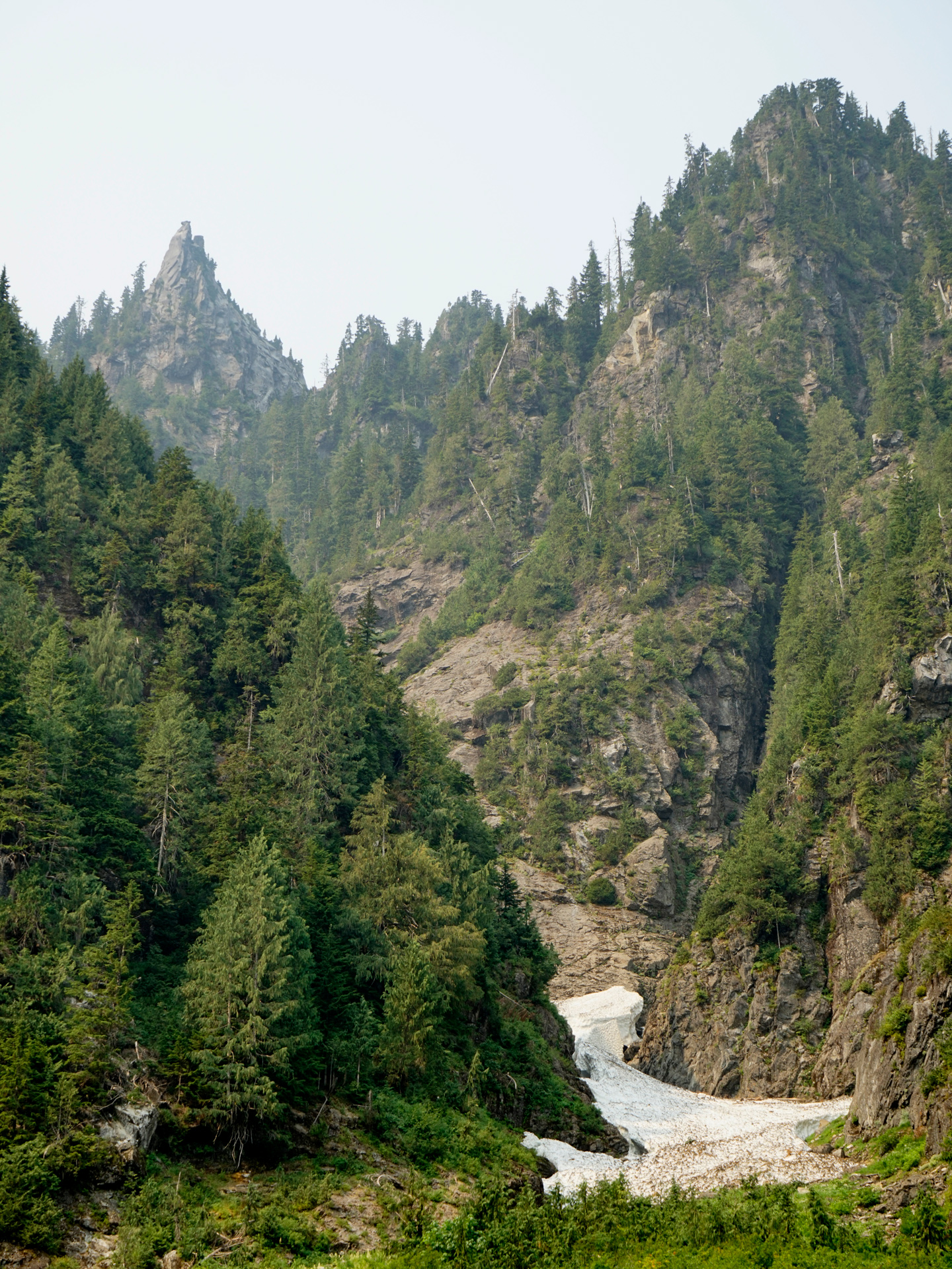
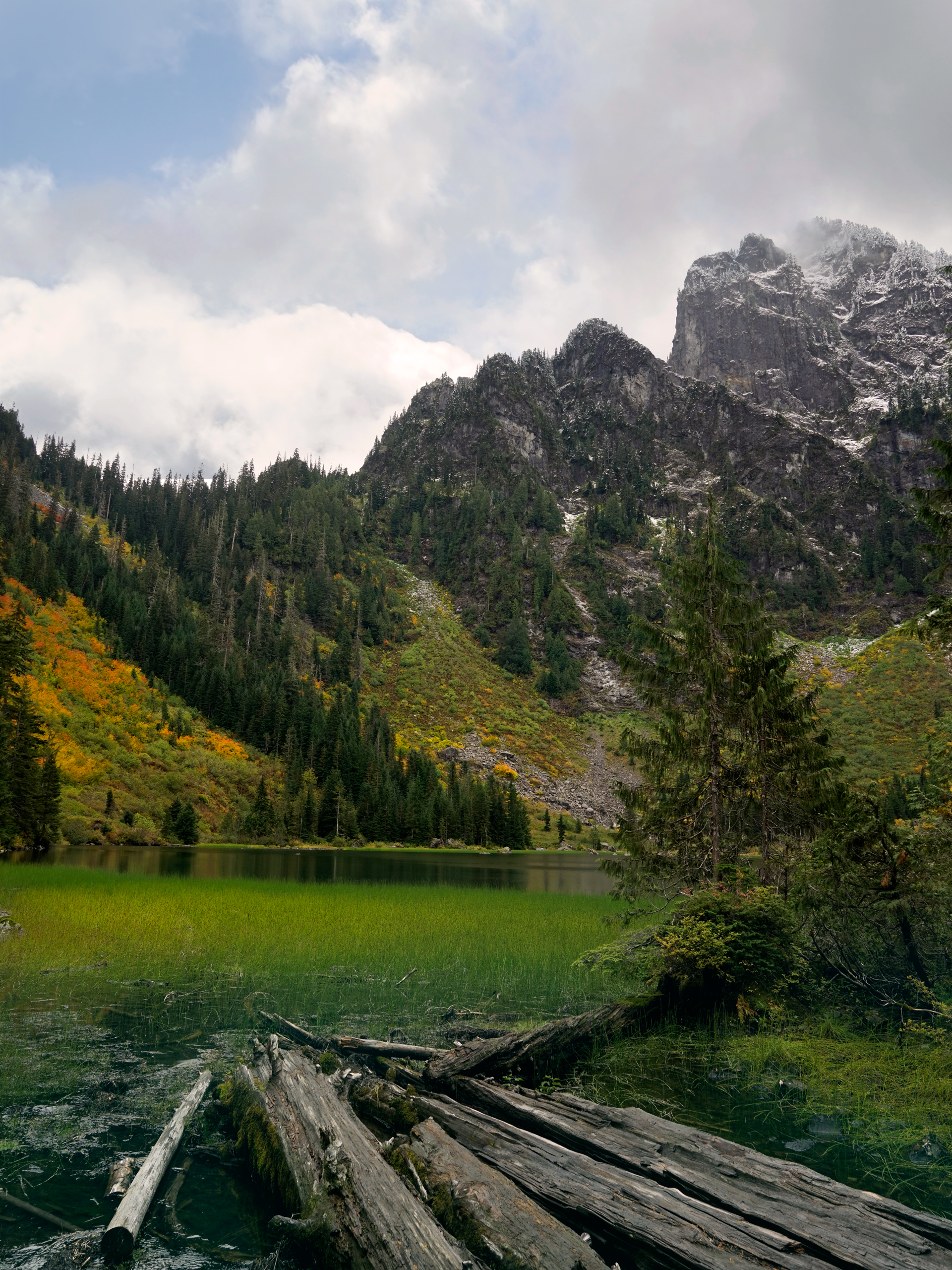
In the winter, most people head to the right for views of the spires across the lake, and the full lake loop might be dangerous due to avalanche risk.
Spring

Looking across Heather Lake toward the Mount Pilchuck Area
Summer
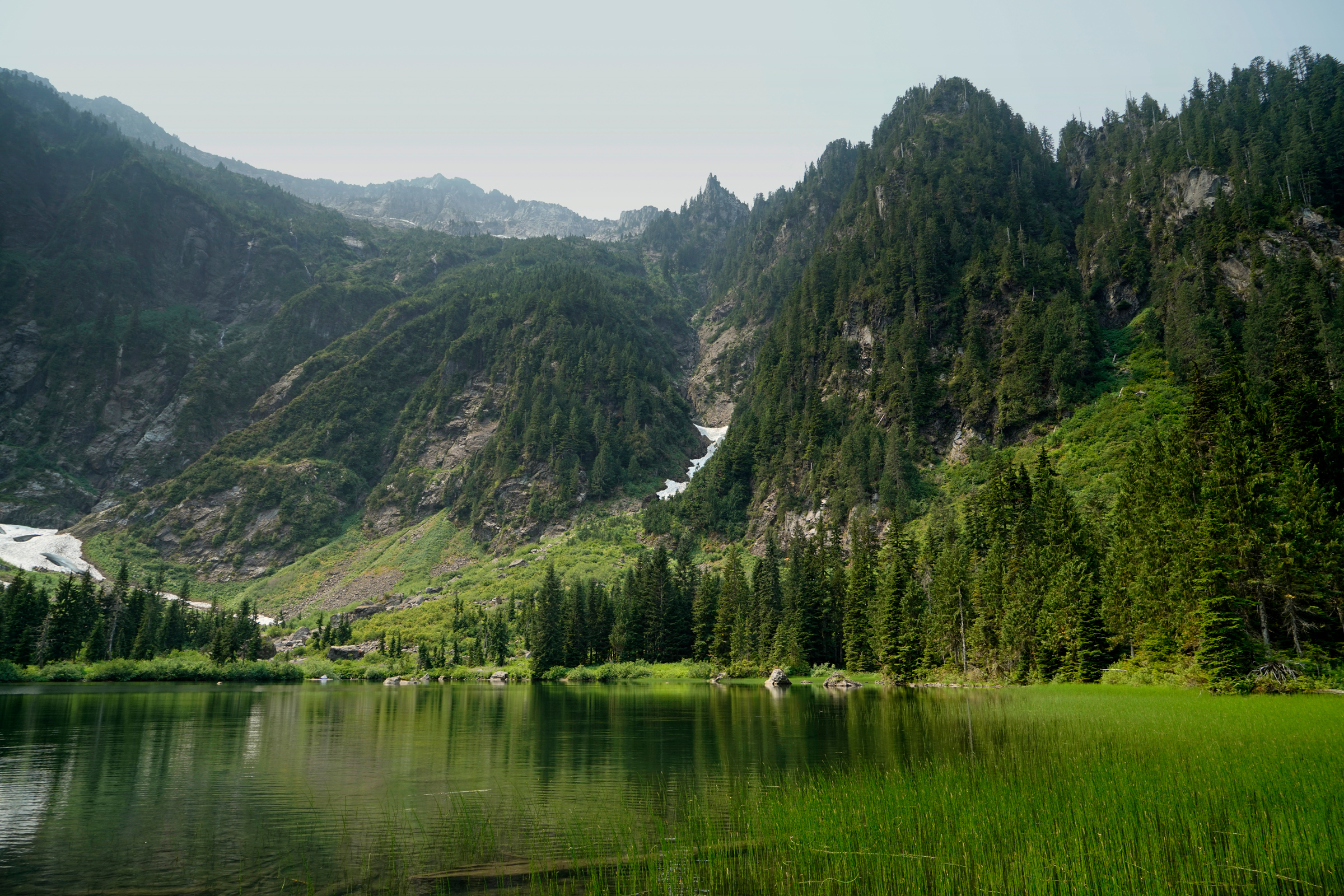

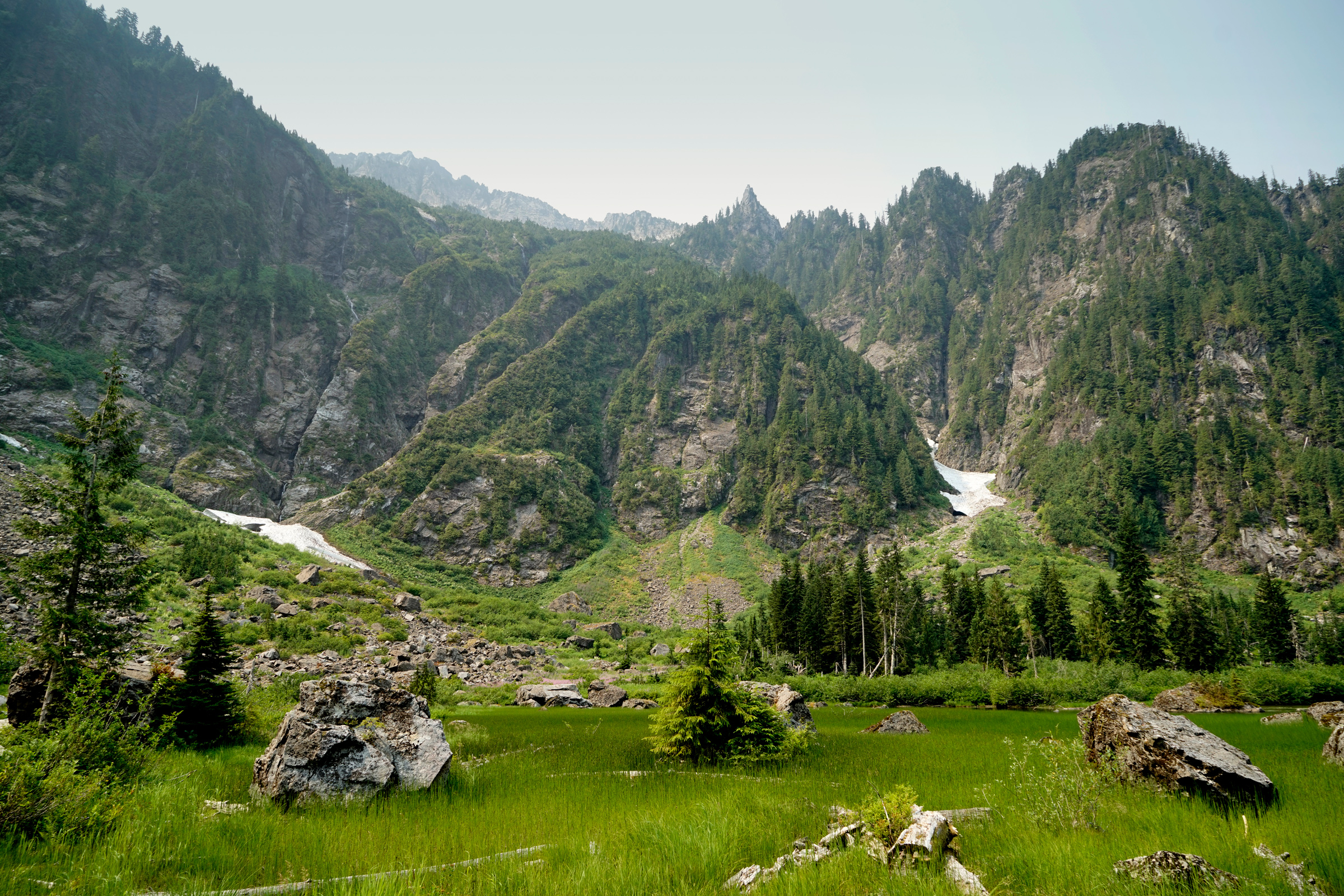
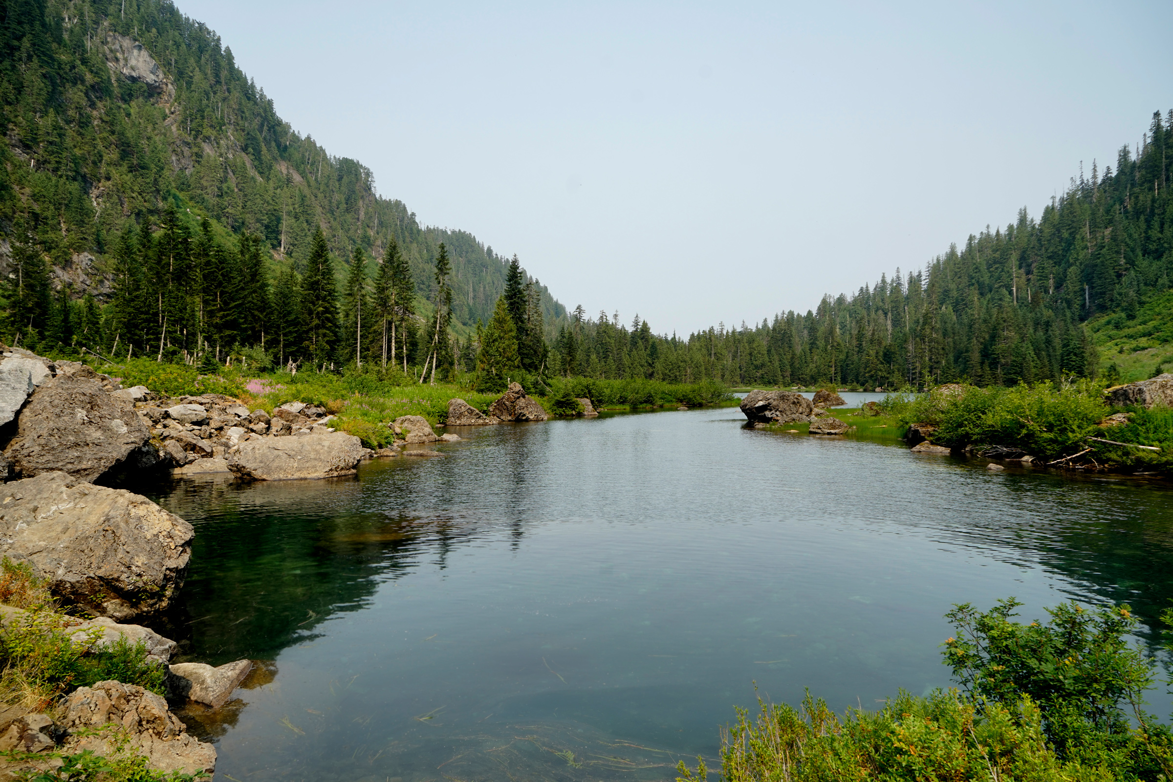
Wildflowers at Heather Lake

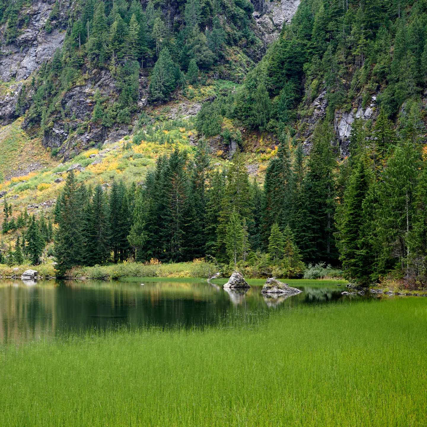
Fall




Directions
Heather Lake is located off the Mountain Loop Highway in Washington.
Drive 1 mile east of the Verlot Ranger Station and turn south onto the Mount Pilchuck Access Road, following it for 1.3 miles to reach the trailhead.
1
Trailhead: 48.082949, -121.773932
2
Heather Lake: 48.068628, -121.784226
More Stories


