July 2017
For summer vacation this year, I visited the Swiss Alps and spent a few days in Chamonix along the way.
To get over the jet lag, I stayed the first night in Geneva and joined a walking tour of Lausanne the following day.
My plan was to do some day hikes and sleep in smaller towns en route to Milan, where I would drop off the car and fly back home two weeks later.
Starting in Geneva, it was a quick drive to Chamonix, which I highly recommend adding to your itinerary.
From there, it was onward to Zermatt, Grindelwald, Lucerne, and St. Moritz.
I finished my alpine tour with nights in the Lake Como area before flying back to Seattle from Milan Linate Airport.
Base Cities
1
Zermatt: 46.024220, 7.748494
2
Grindelwald: 46.624434, 8.033485
3
Interlaken: 46.687032, 7.851291
4
Lucerne: 47.051645, 8.307545
5
St. Moritz: 46.497181, 9.837777
Zermatt
There are no cars allowed in the city of Zermatt itself.
To drive here, you can park your car at the covered Matterhorn Terminal in Täsch.
I spent my first morning in Zermatt on the cable car to the Matterhorn Glacier Paradise (Klein Matterhorn) before heading down to Trockener Steg to start the Matterhorn Glacier Trail.
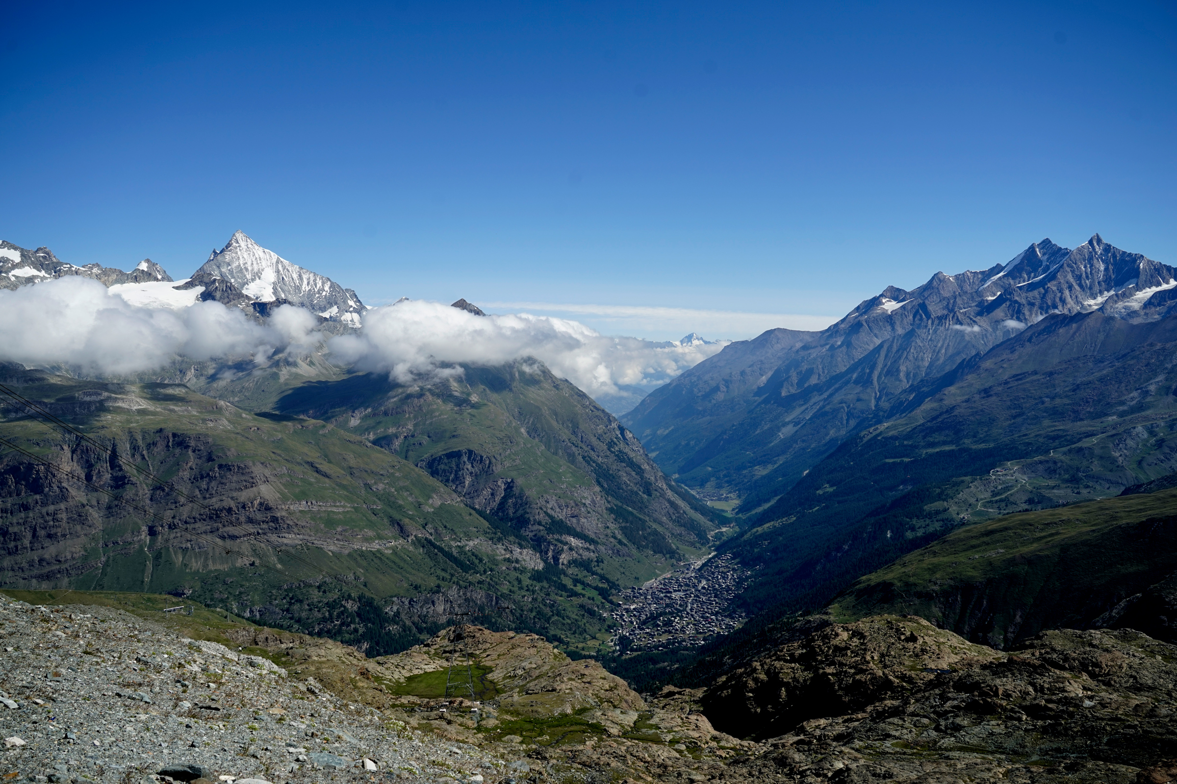
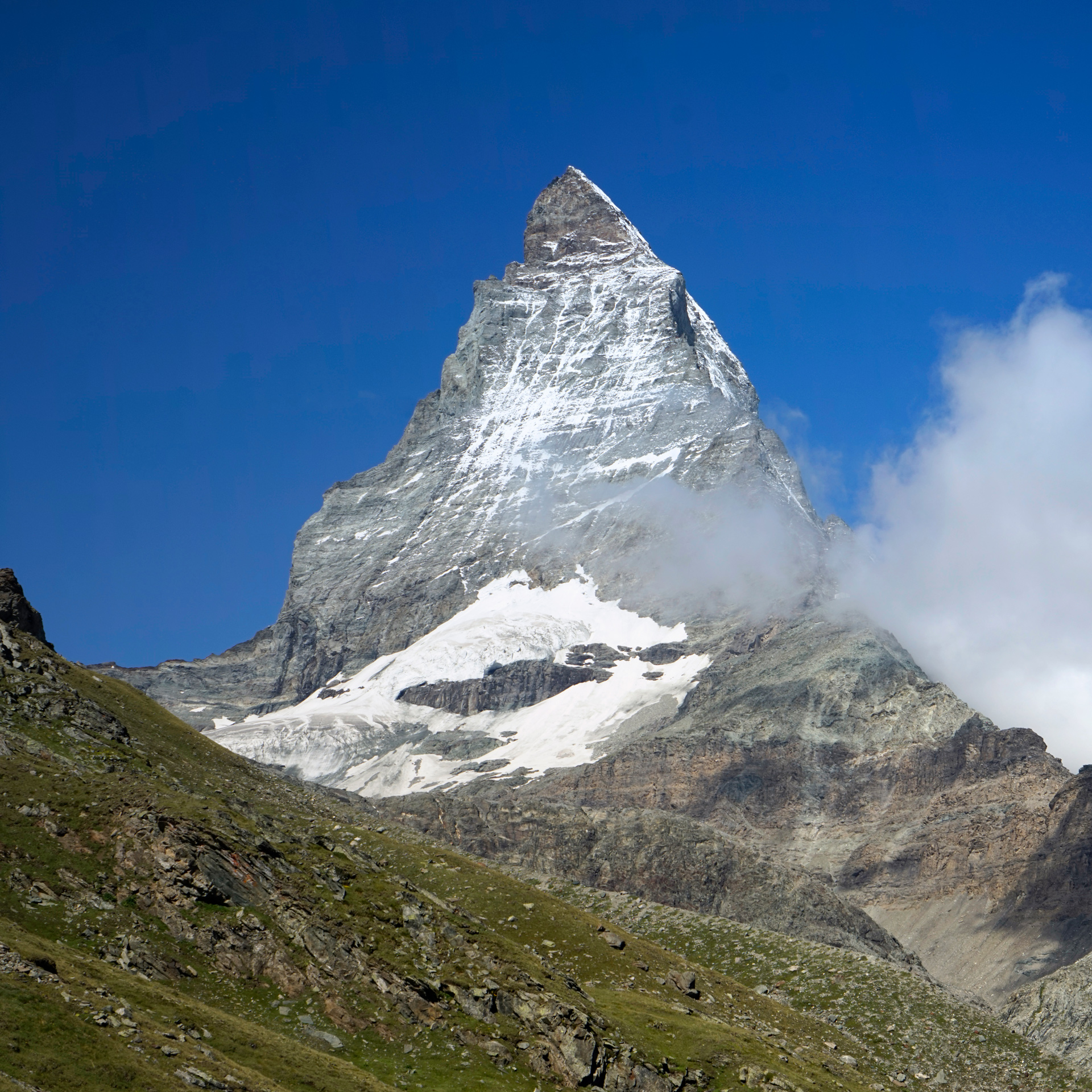
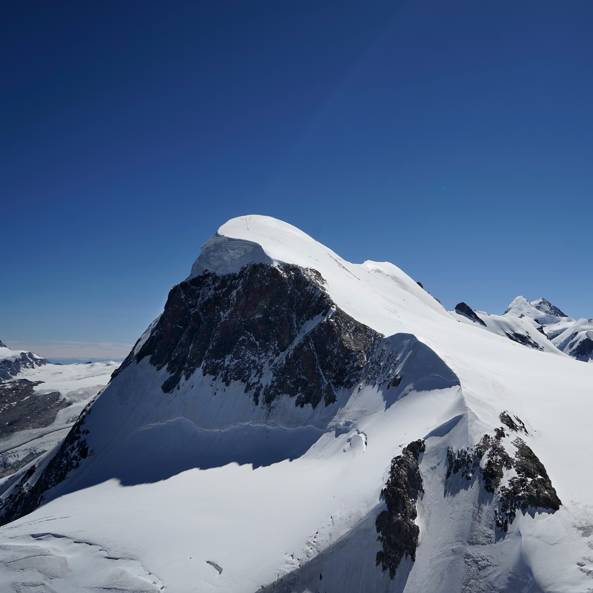

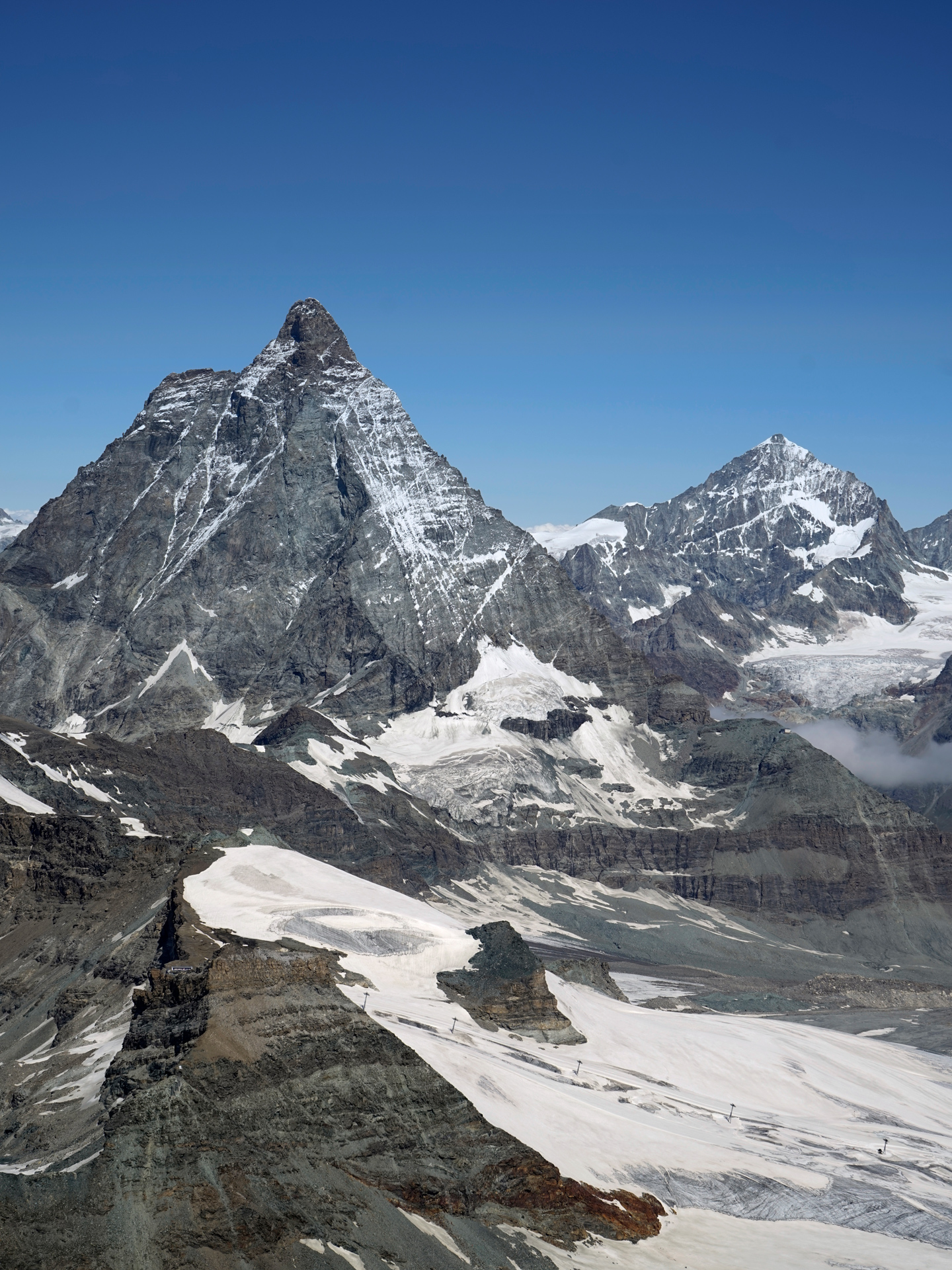
Views from The Matterhorn Glacier Paradise (Klein Matterhorn)

Liskamm, Castor, Pollux, and Breithorn from Rotenboden
Hiking The Matterhorn Glacier Trail
4 miles one way, 425 feet gain, 1,480 feet descent, 9,590 feet highest elevation
This is one of the most popular hikes in the area.
I chose to start the hike from the upper Trockener Steg lift and walked the 4 miles mostly downhill toward Hirli and Schwarzsee.
Besides requiring less work, this route gives you head-on views toward the Matterhorn almost immediately.
The trail is straight-forward and easy to follow.
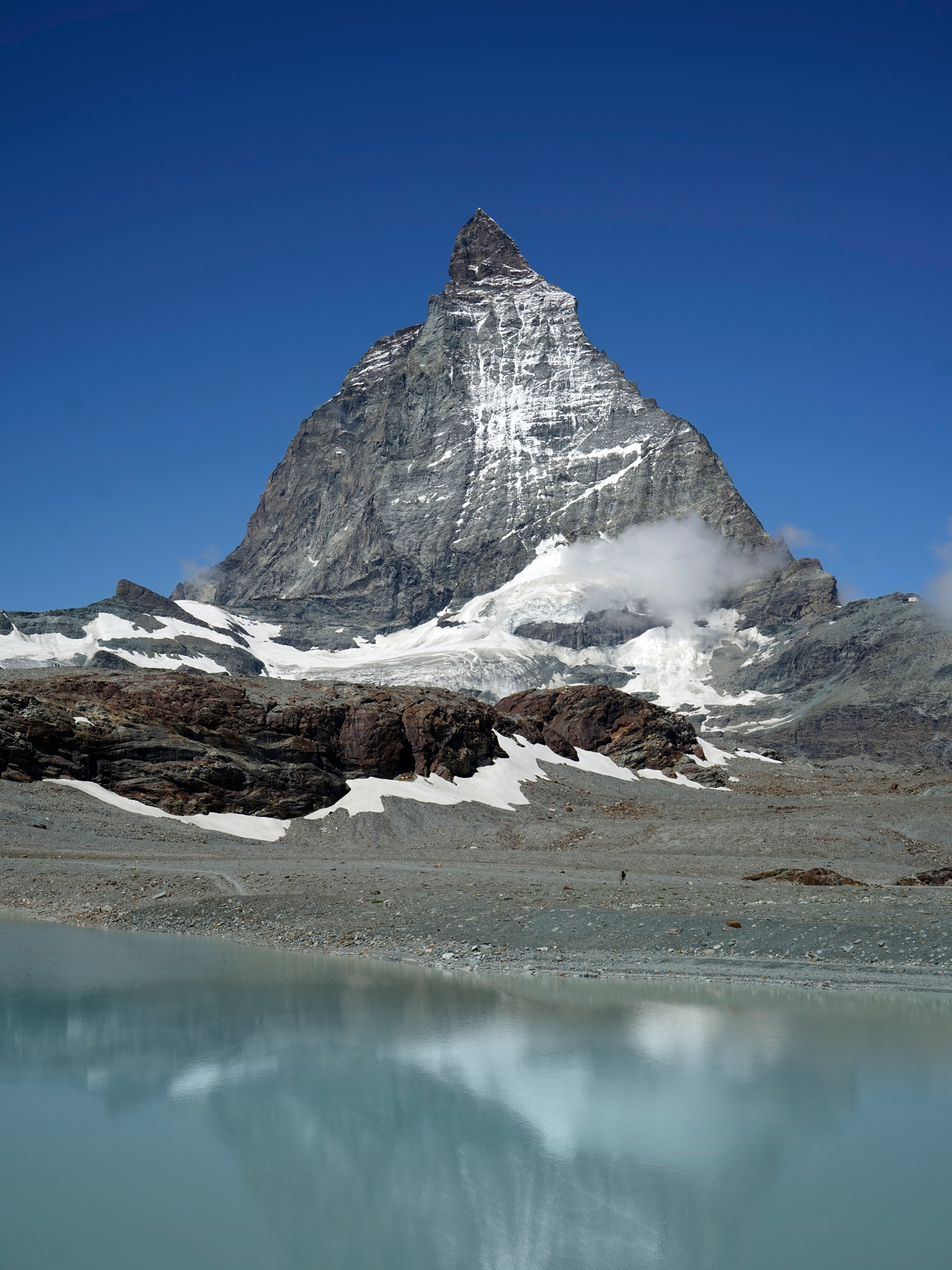
The Matterhorn, from the Matterhorn Glacier Trail near Trockener Steg
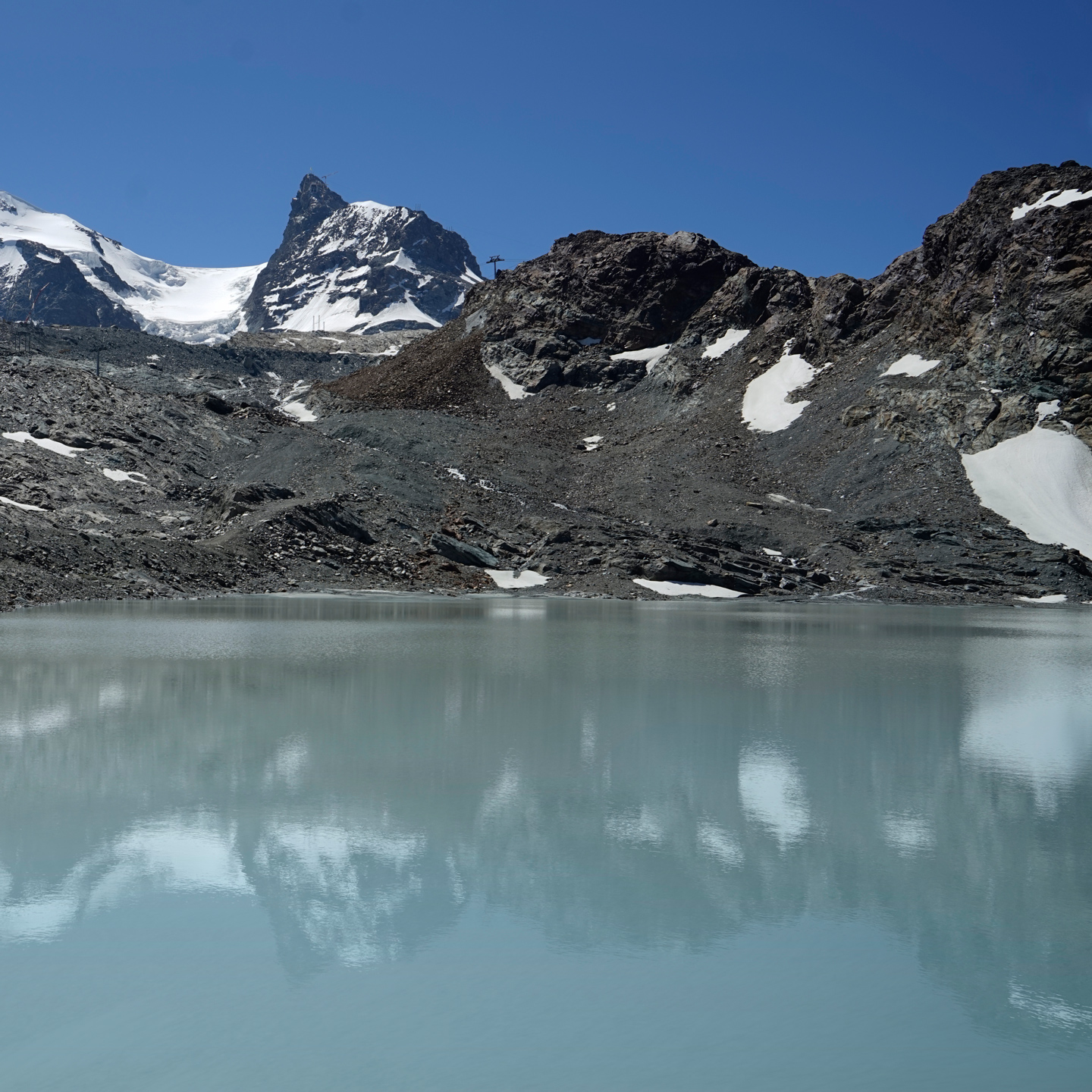
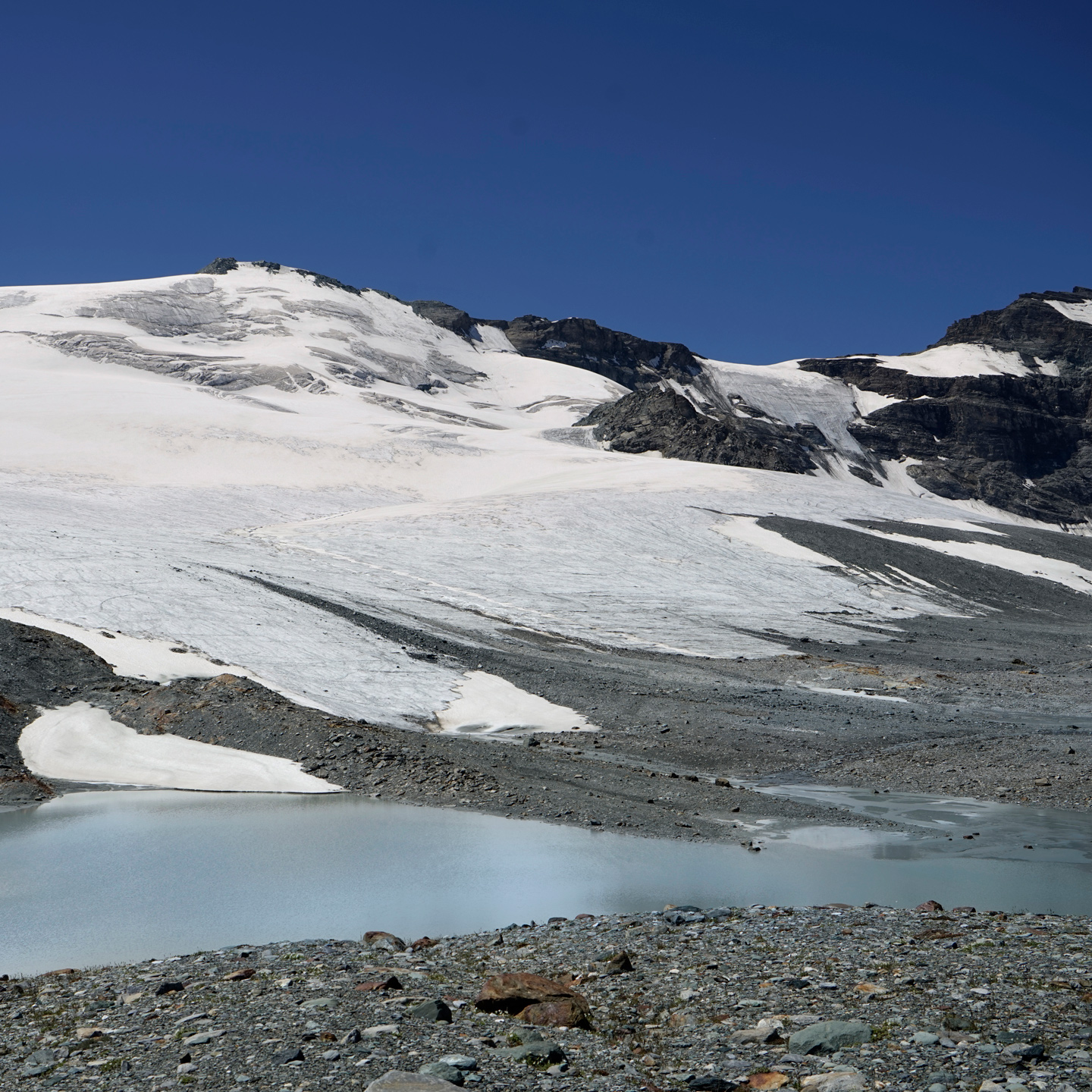
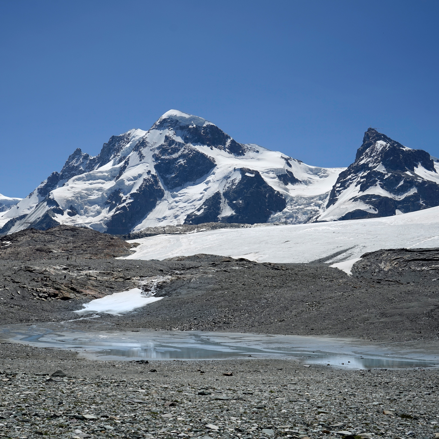
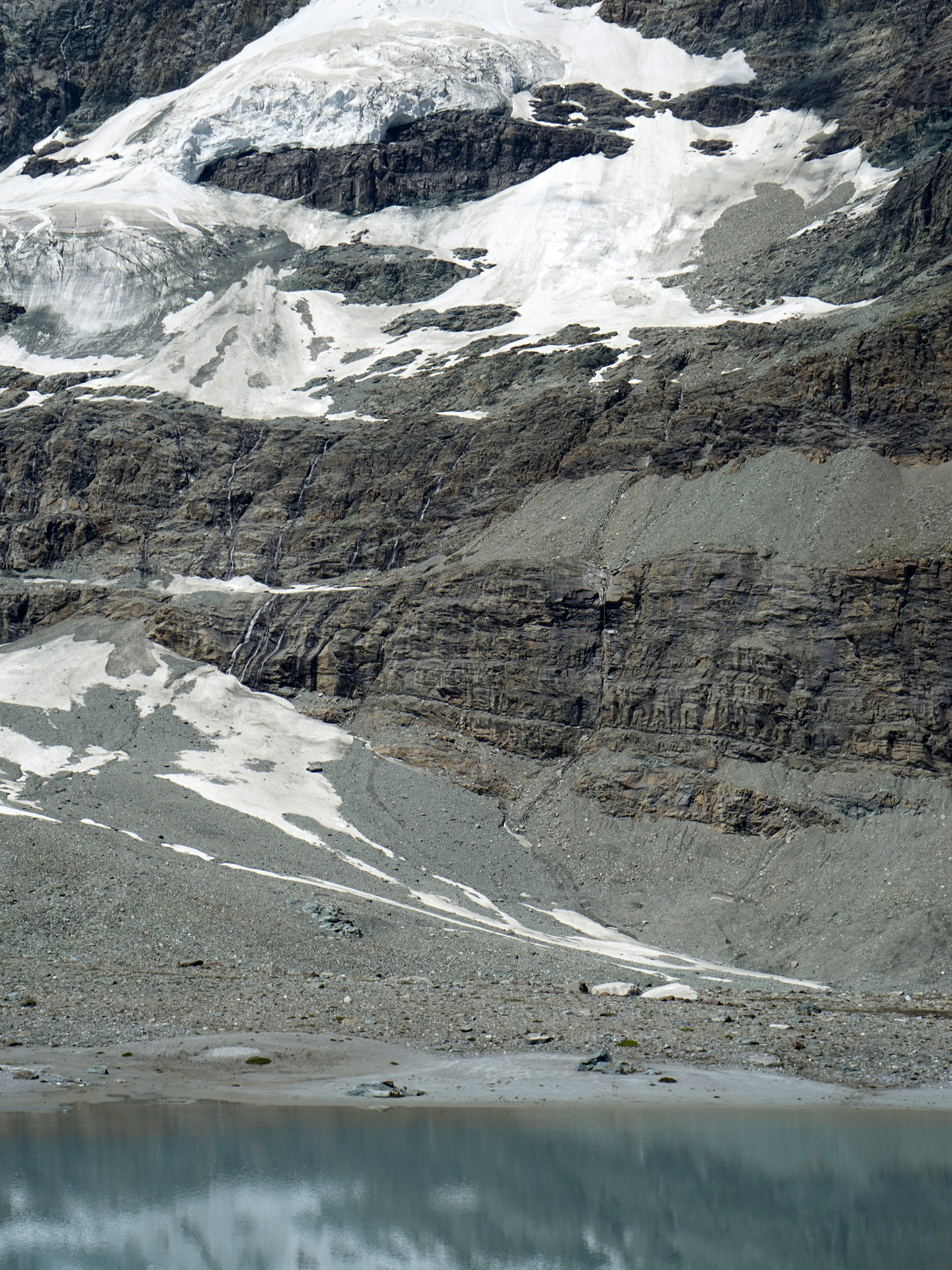

The hike starts at the Trockener Steg lift: 45.971393, 7.721747, and it ends at the Schwarzsee lift: 45.991792, 7.709169
Riffelsee
The iconic view of the Matterhorn behind Riffelsee can be had for very little effort.
From downtown Zermatt, catch the Matterhorn Railway to Rotenboden station, and Riffelsee is a short walk downhill from there.
If you prefer a short hike, you can walk just under two miles past Riffelsee toward the lower Riffelberg station.
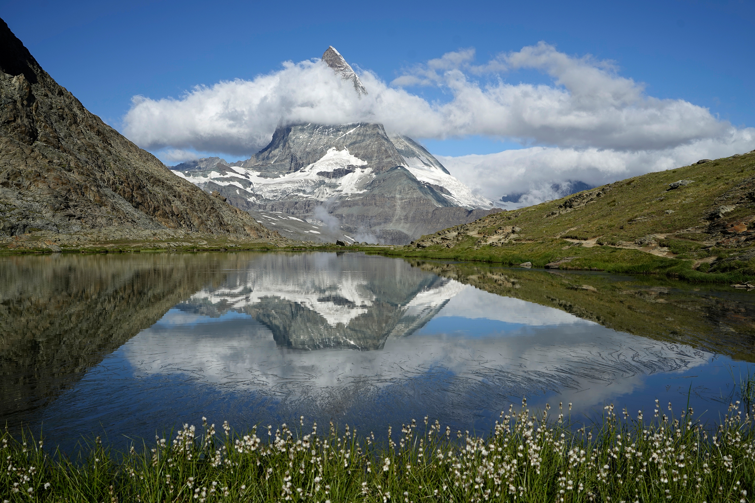
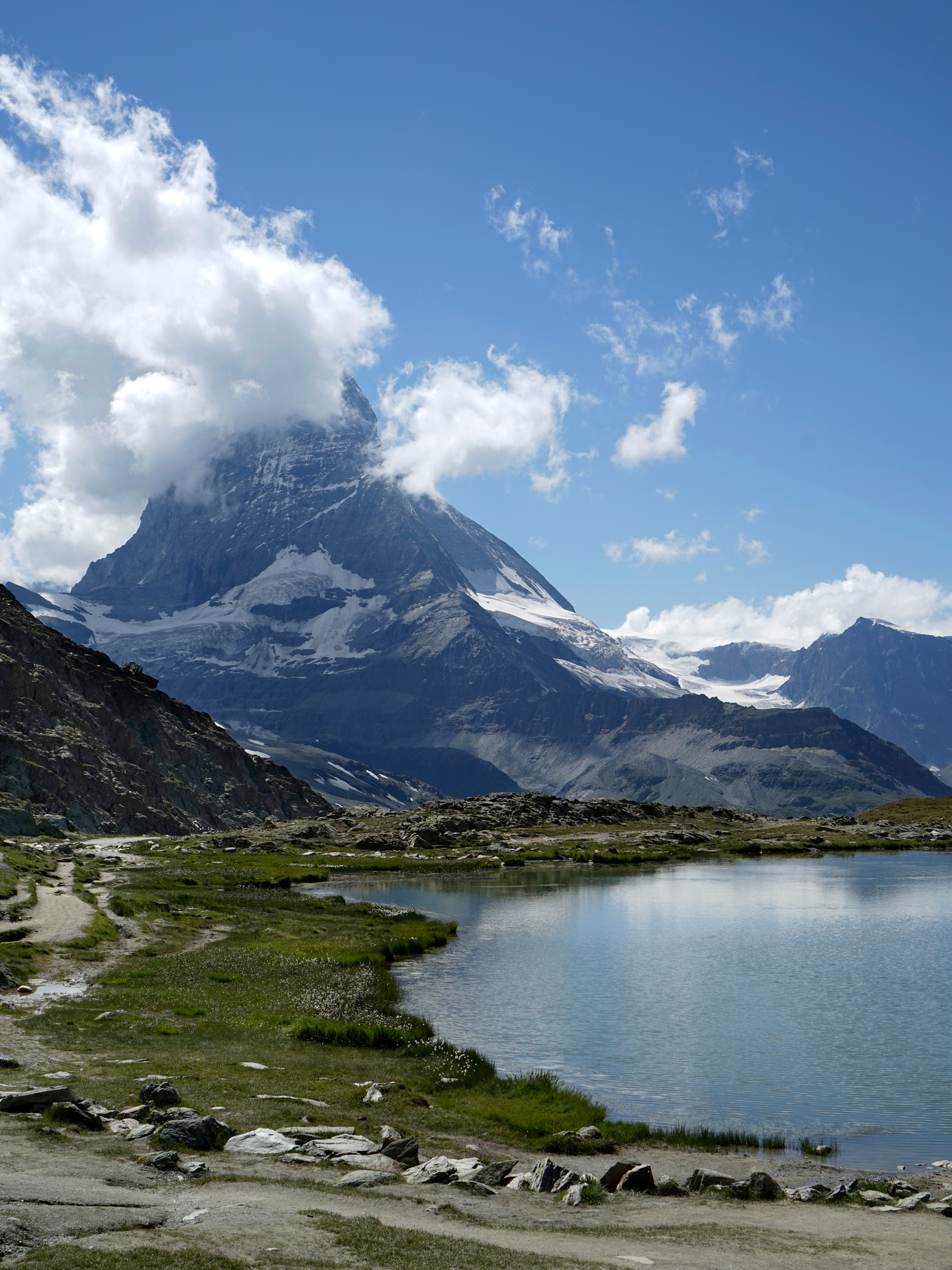
Riffelsee: 45.983612, 7.762834
Hiking The Five Lakes Trail (5-Seenweg)
5.5 miles one way, 500 feet gain, 1,528 feet descent, 8,458 feet highest elevation
As with many day hikes in the Alps, the Five Lakes Trail can be completed by heading either uphill or downhill.
The grade is gentle enough that I preferred starting from the Blauherd lift (the upper section) and ending lower in Sunnega.
Going this way, you will first see Stellisee, the best of the five lakes in my opinion.
From there, you will pass Grindjisee, Grunsee, Mosjesee, and Leisee before ending in Sunnega.
The trails are well established, and there are lots of signs along the way, but there are also enough trail crossings and alternate pathways that can make navigation tricky without a GPS.
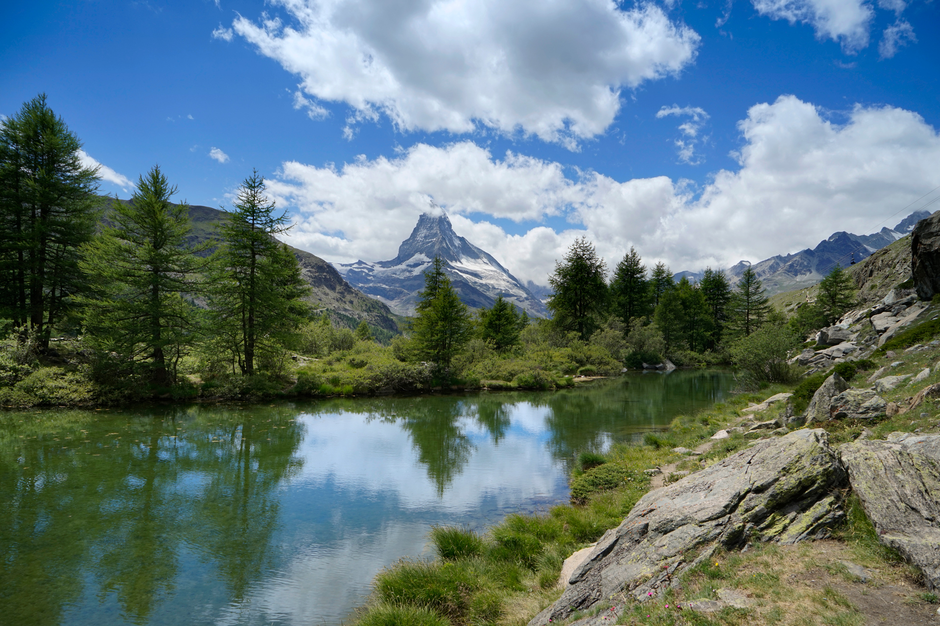
Grindjisee: 46.011636, 7.791602
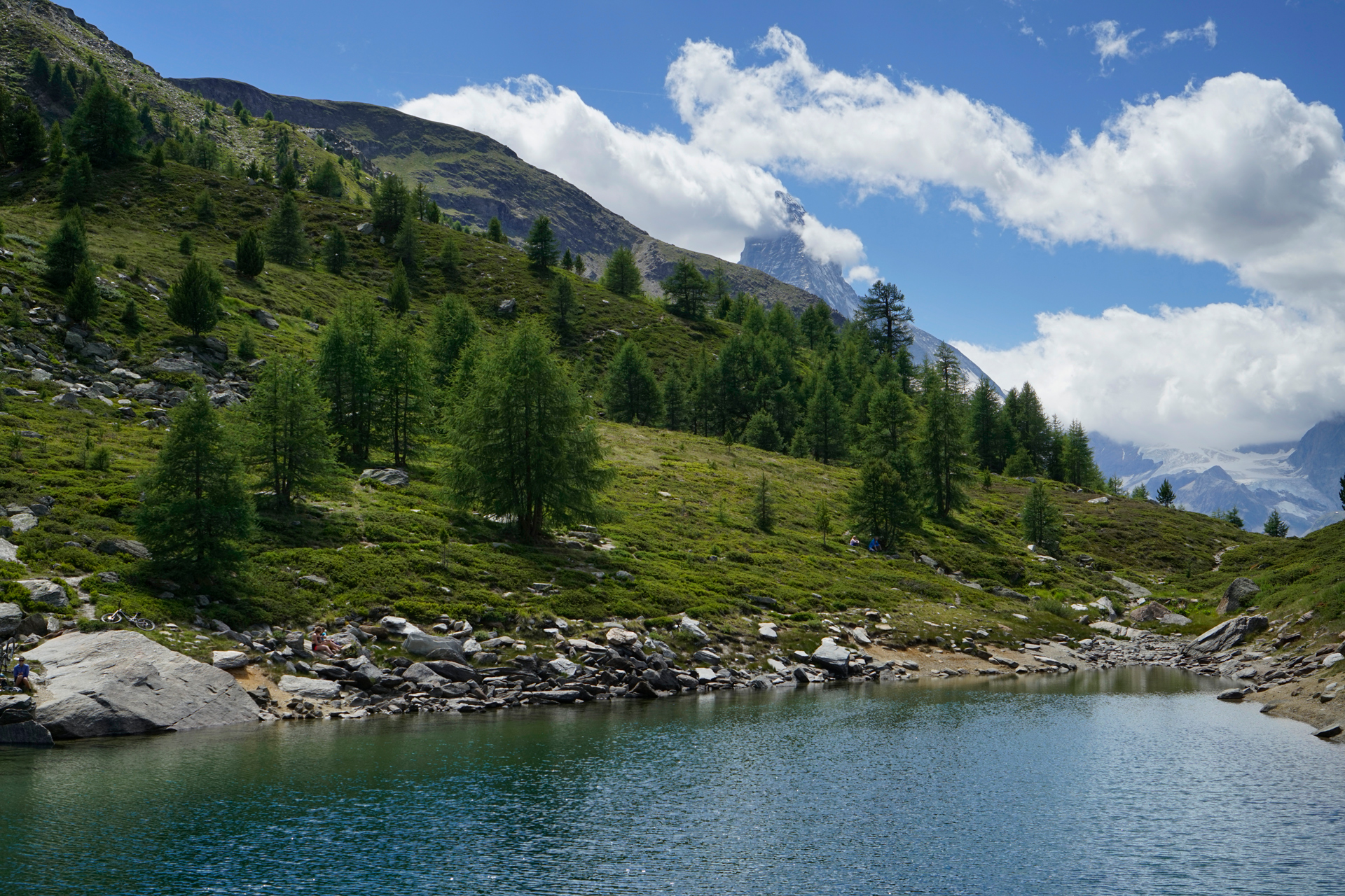
Grunsee: 46.005759, 7.786356
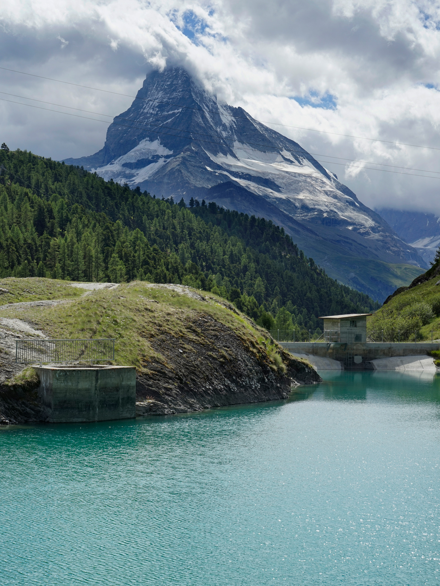
Mosjesee: 46.010930, 7.779722
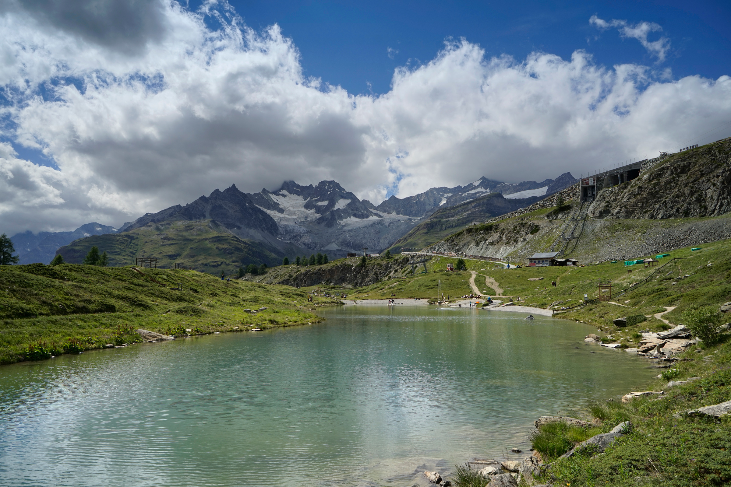
Leisee: 46.015164, 7.772935
The hike starts at the Blauherd lift: 46.016835, 7.786132, and ends at Sunnega: 46.01704, 7.77027
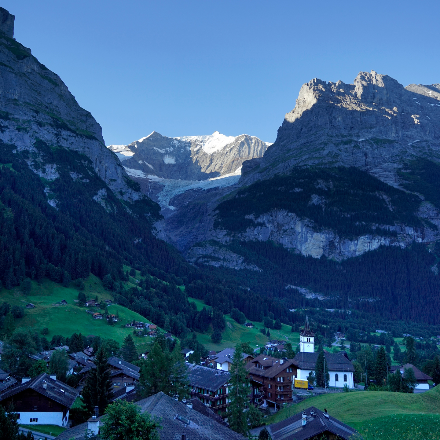
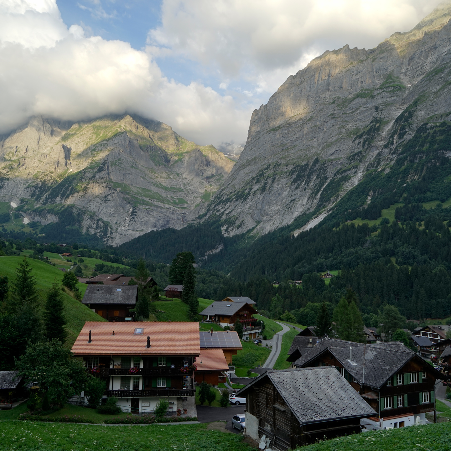
Grindelwald
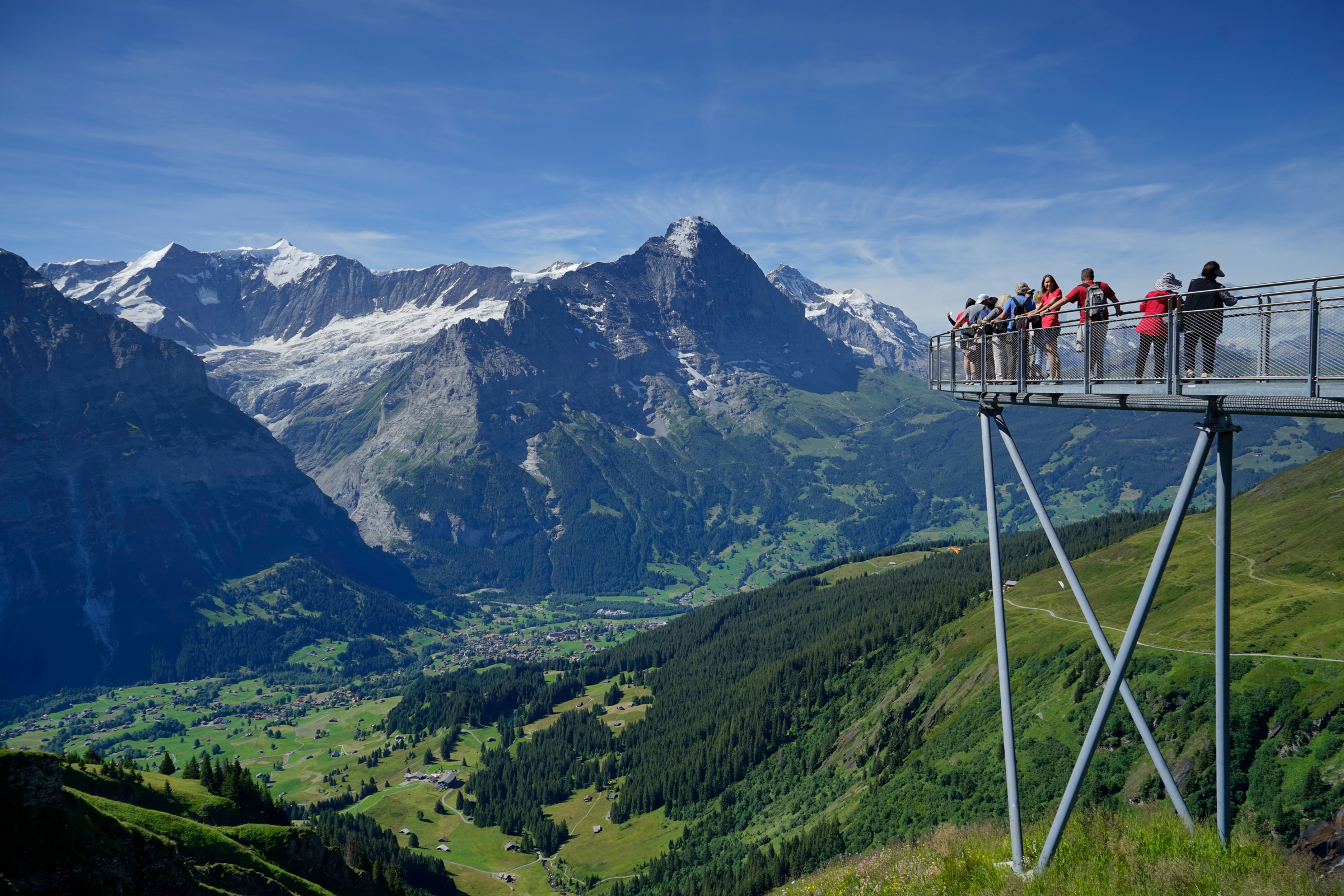
Hiking Bachalpsee
4 miles round-trip, 715 feet gain and descent, 7,600 feet highest elevation
This can be completed as a standalone hike or part of the hike between First and Schynige Platte.
The easiest way to reach Bachalpsee is via the First lift from Grindelwald.
This makes the hike about 4 miles roundtrip, if you decide to walk past the lake for a higher view.
The hike starts and ends at the First lift: 46.659990, 8.053808
Hiking First to Schynige Platte
10.2 miles one way, 1,700 feet gain, 2,280 feet descent, 8,790 feet highest elevation
The hike between First and Schynige Platte can be started in either place, but if you are already staying in Grindelwald, it is more convenient to begin the hike by taking the lift to First.
This also has the added benefit of less elevation gain.
Two miles from the First lift, you will reach Bachalpsee, then the trail continues past the lake toward the summit of the Faulhorn.
There is a restaurant with a restroom up the steep, rocky hill toward Faulhorn.
From there, you continue toward Berghütte Männdlenen and follow the Eiger Ultra Trail northeast for a short distance before turning the corner and heading southwest toward Schynige Platte.
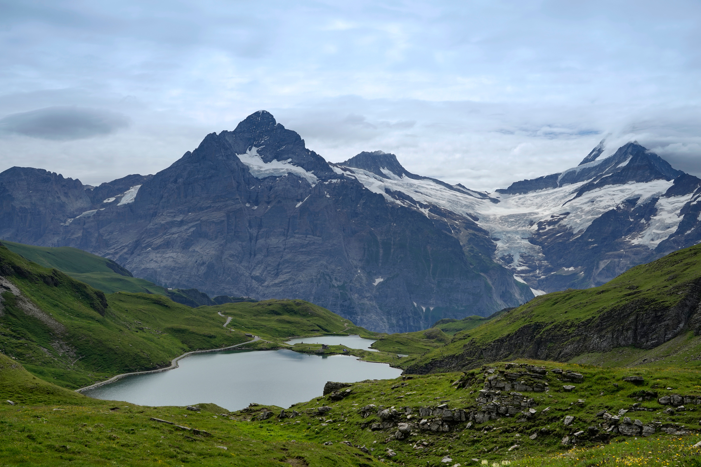
Looking back toward Bachalpsee before continuing up the Eiger Ultra Trail
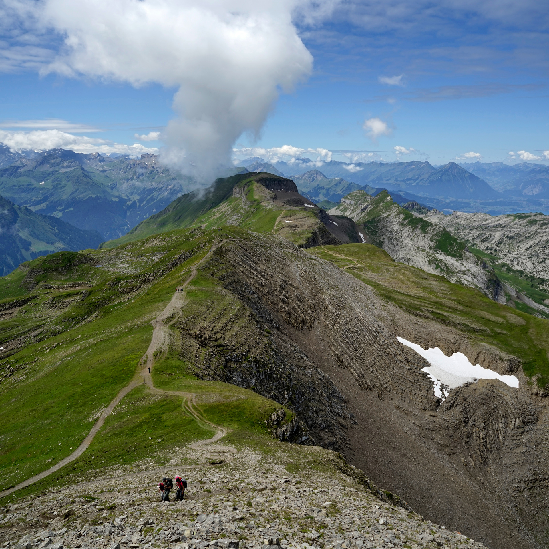
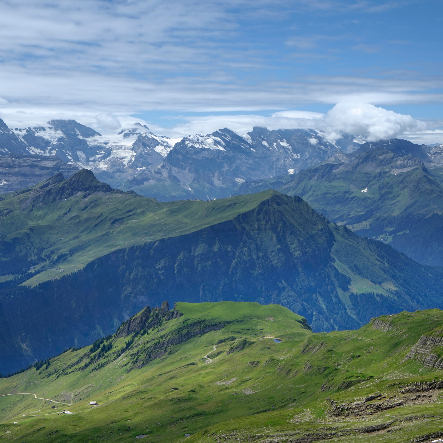
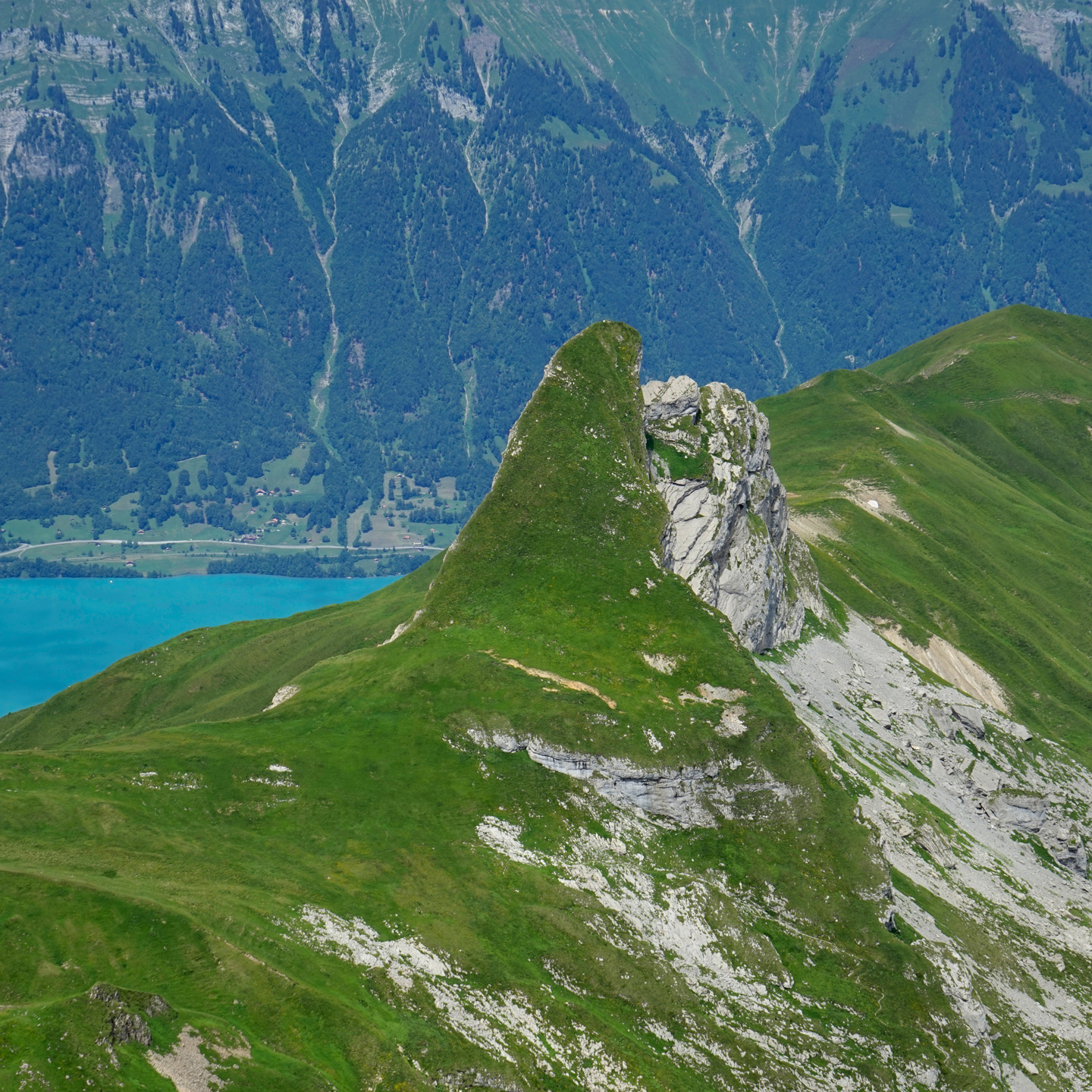
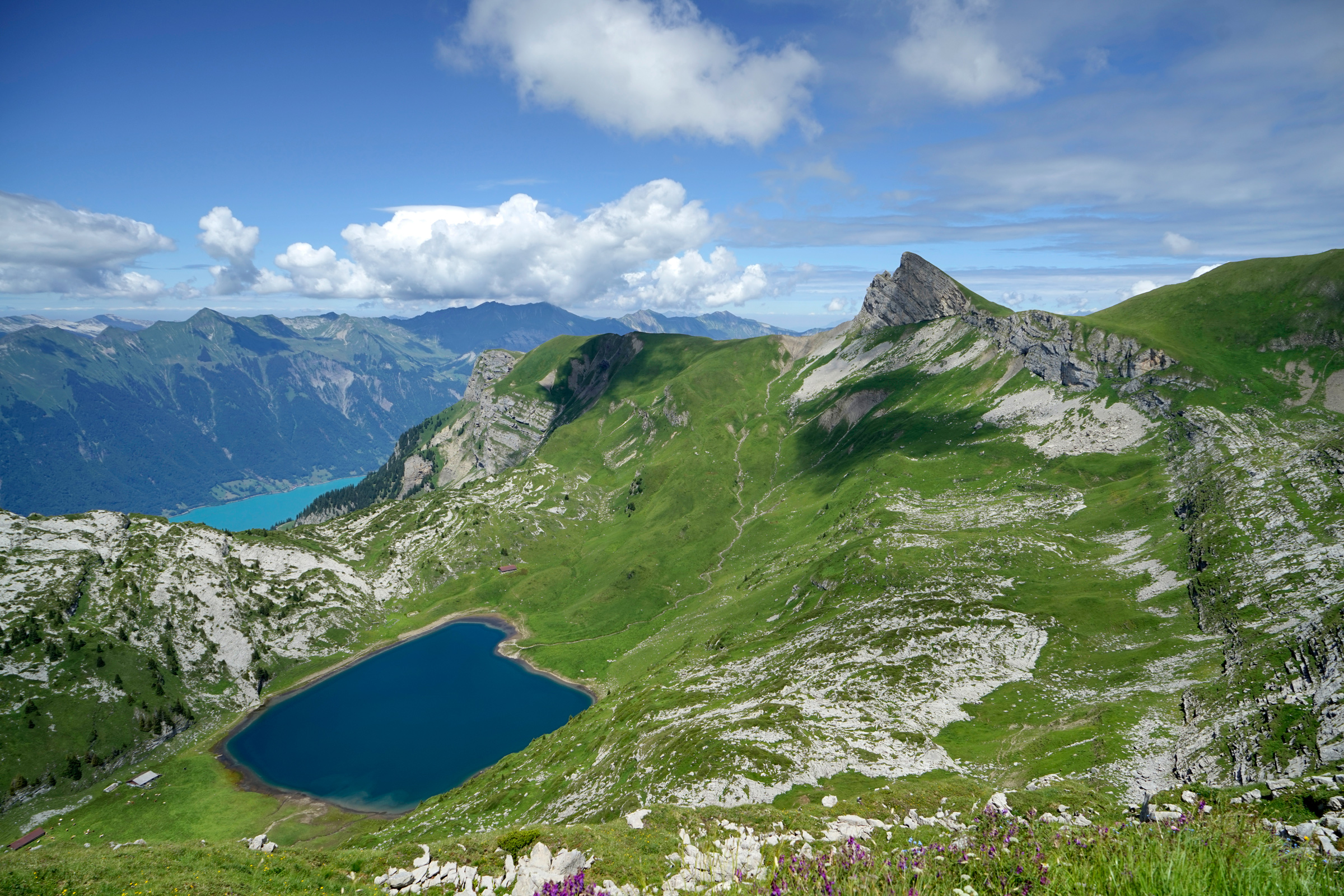
Peek-a-boo views of Interlaken are visible after hiking past Faulhorn

The final stretch heading southwest toward Schynige Platte
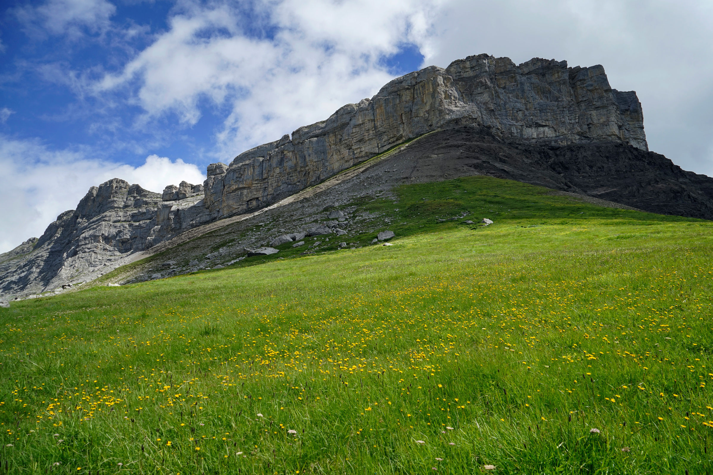

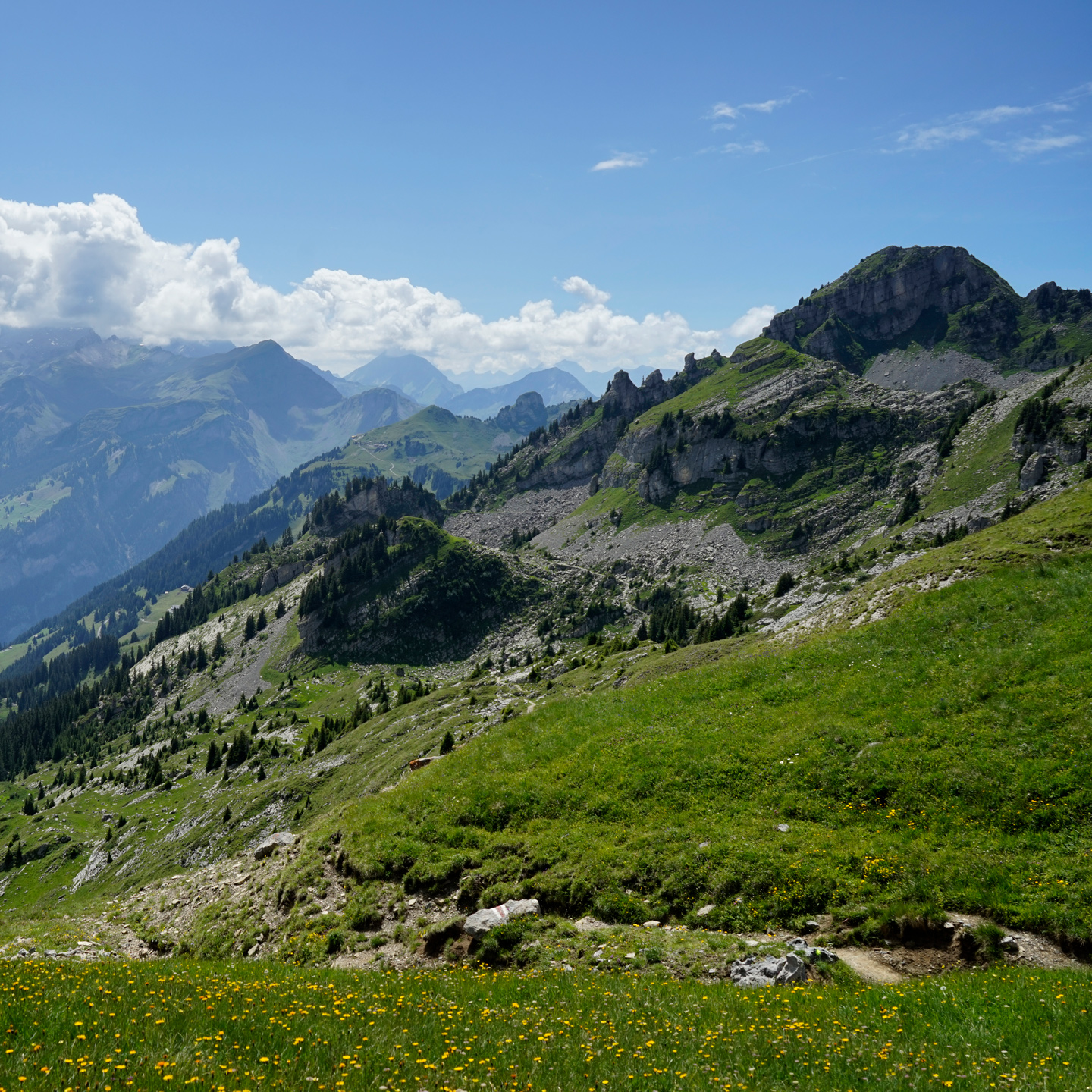
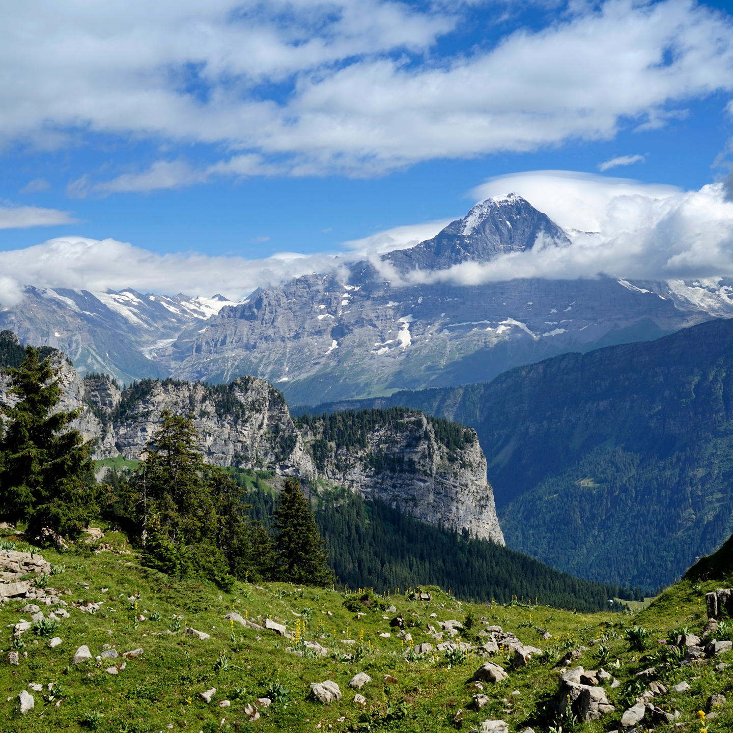
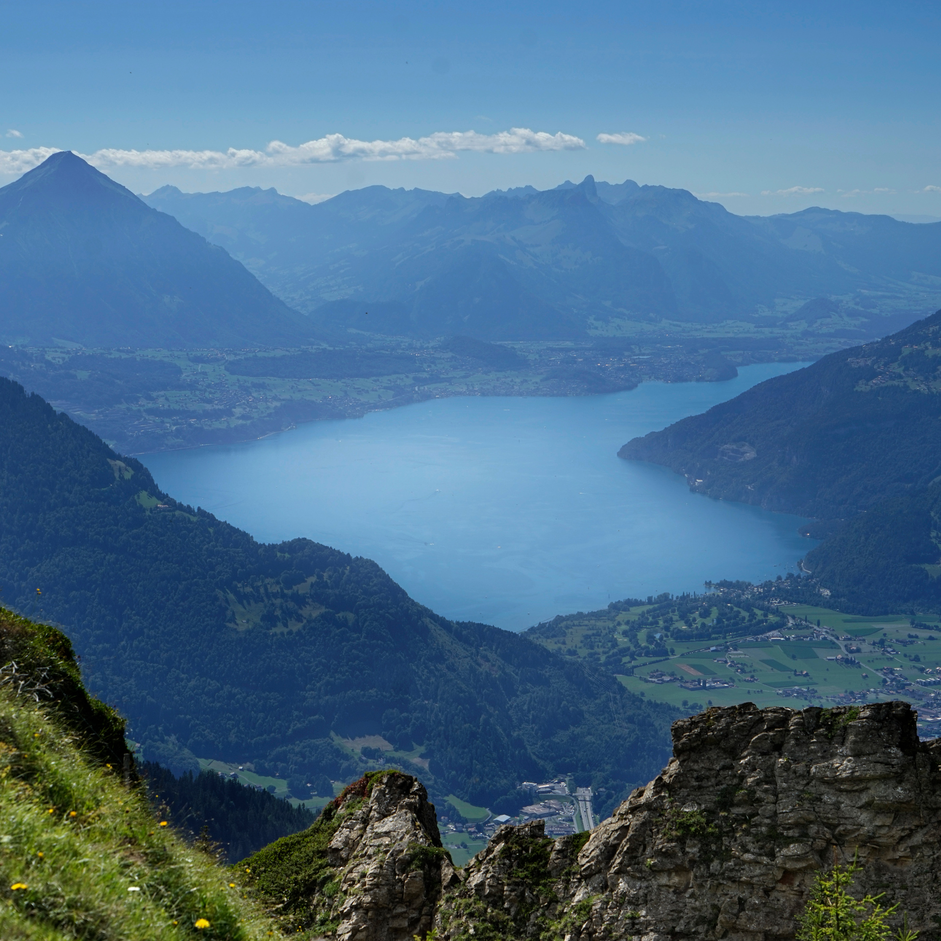
A view of Thunersee from Schynige Platte

Schynige Platte
The hike starts and ends at the First lift: 46.659990, 8.053808, and ends at Schnynige Platte Train Station: 46.652260, 7.911246
The Aletsch Glacier
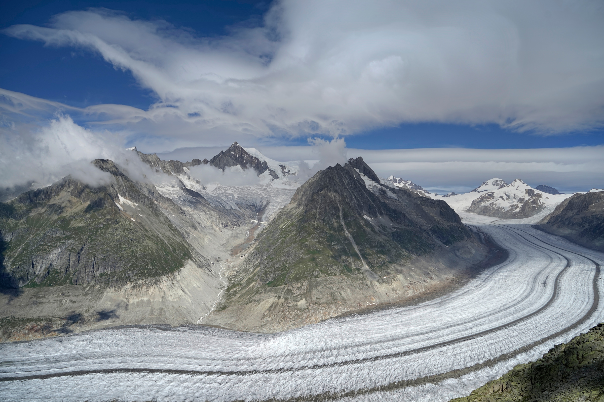
The Aletsch Glacier from Eggishorn: 46.427005, 8.092134
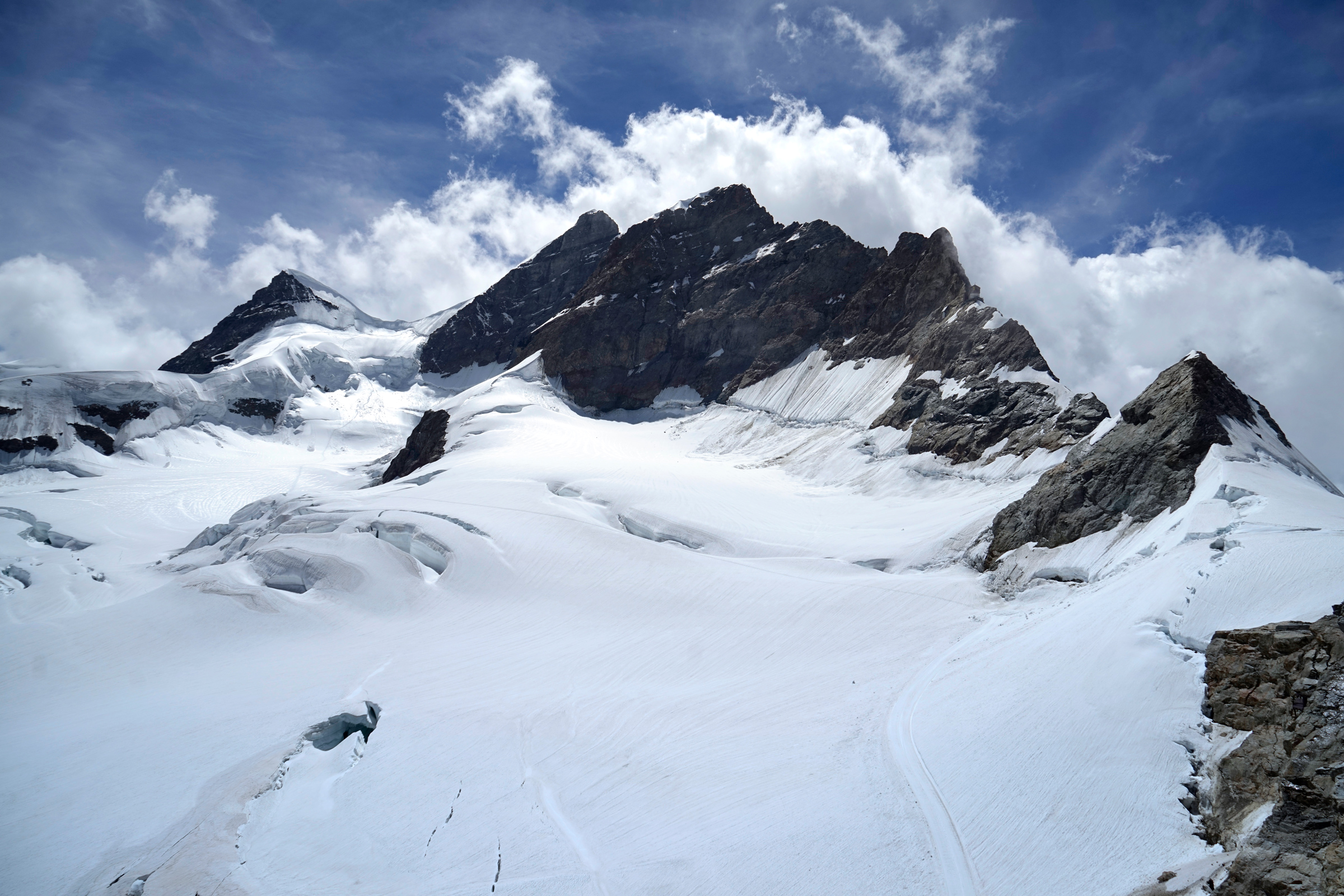
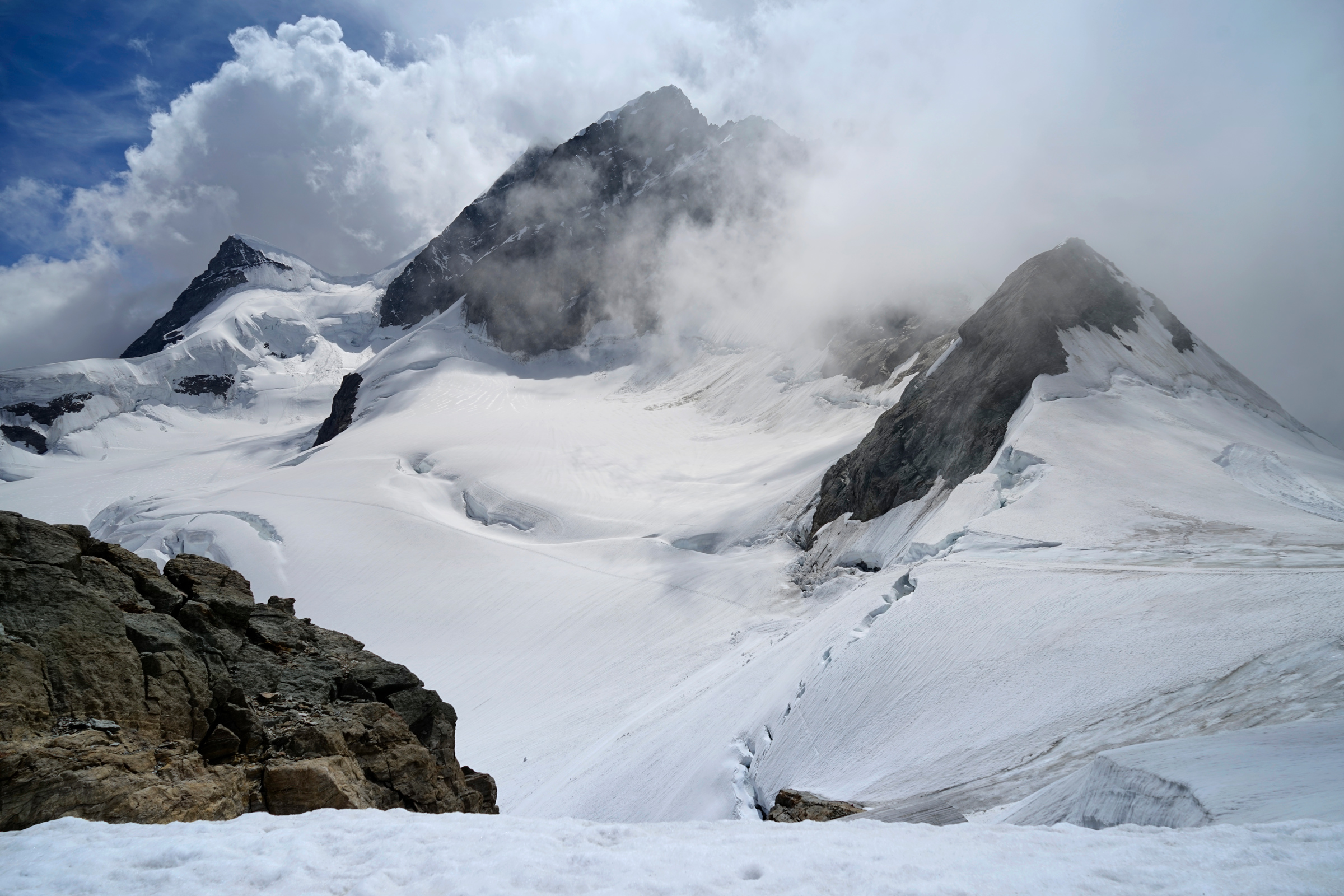
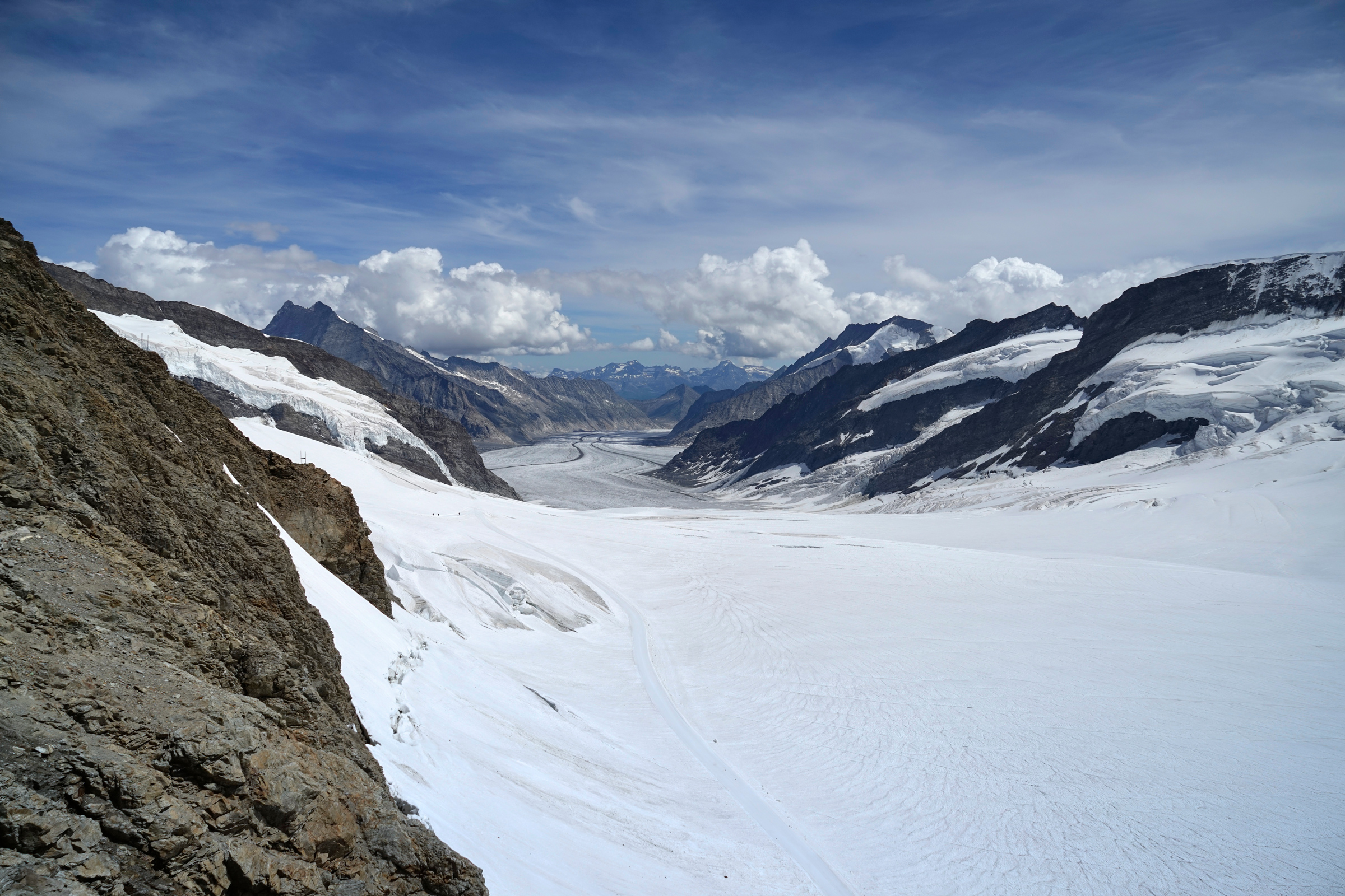
Looking down the Aletsch Glacier from The Sphinx Observatory: 46.547493, 7.985063
Interlaken and Lucerne
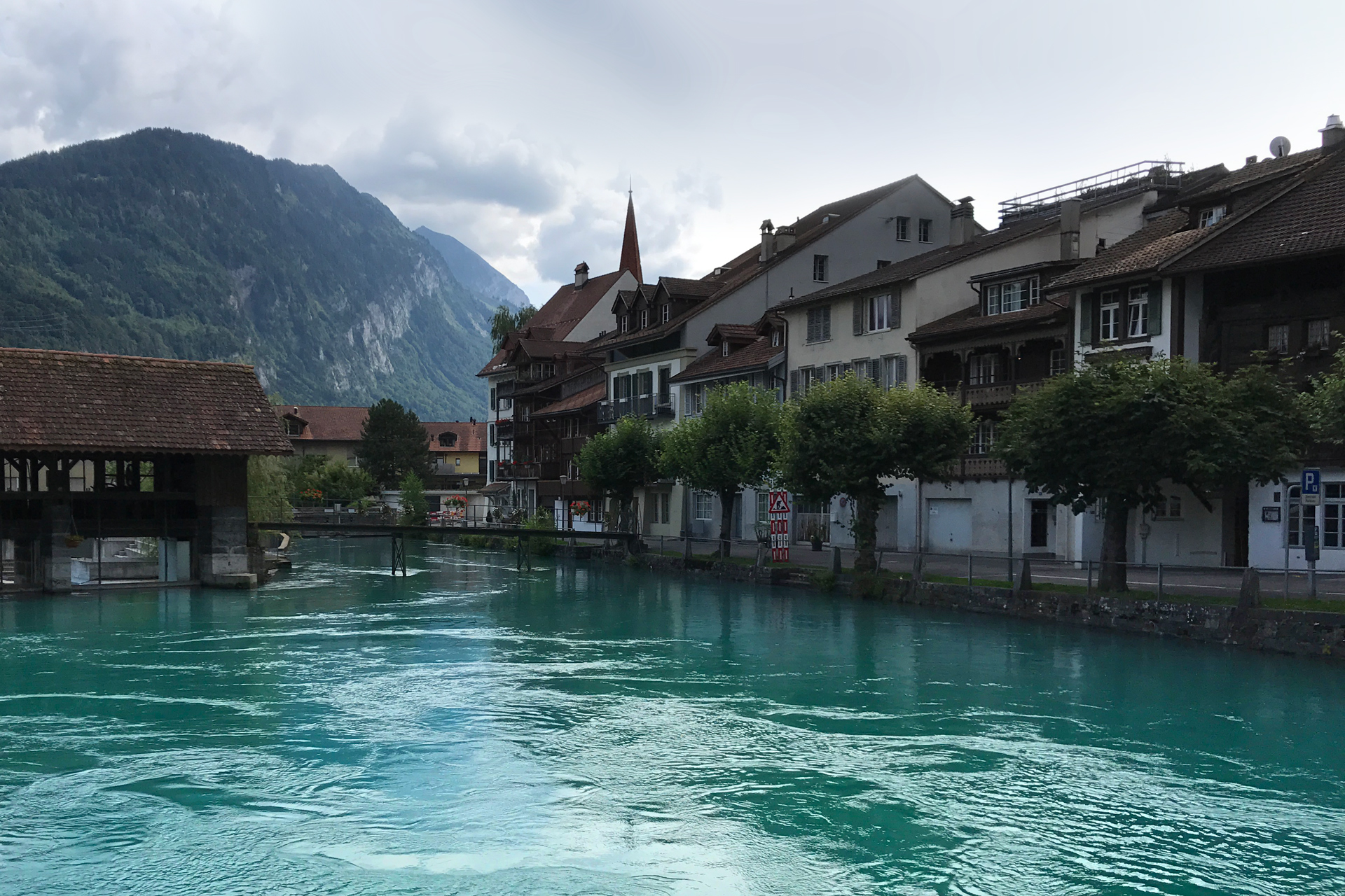
Interlaken
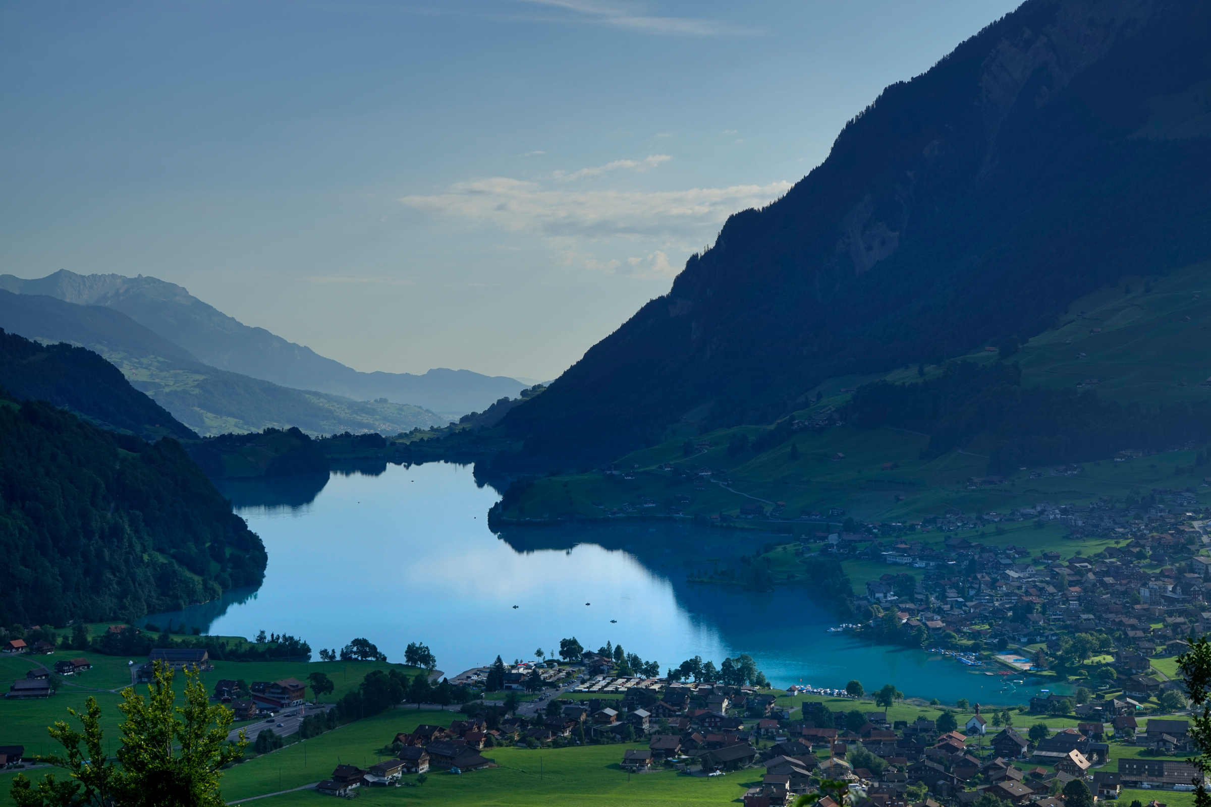
Lungern Lake from Viewpoint Schoenbuehel: 46.775843, 8.143235

Lucerne from the Männliturm tower: 47.053523, 8.300836
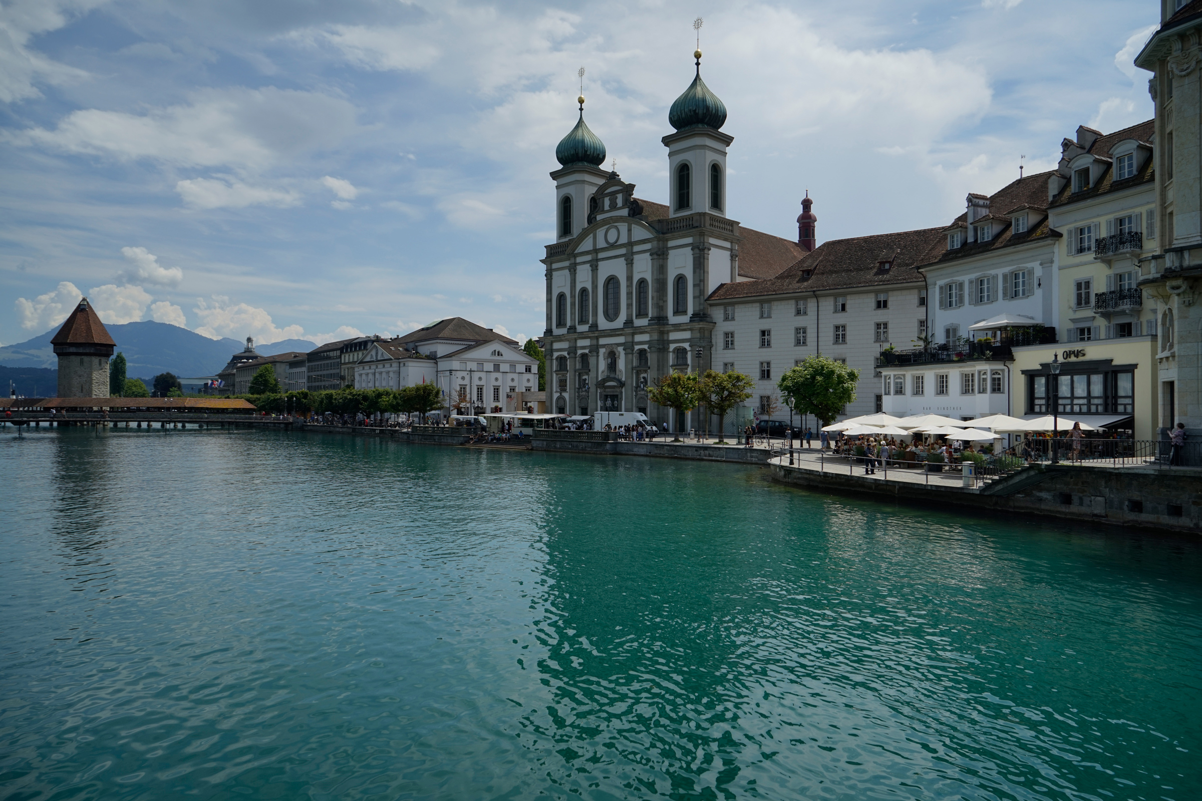
The Jesuit Church from Reussbrücke: 47.051110, 8.303903
Hiking Bannalpsee
2 miles round-trip, 430 feet gain and descent, 5,600 feet highest elevation
This easy hike is located a 30-minute drive from Lucerne.
Taking the Gondola in Fell up to Chrüzhütte shaves off 2,650 feet of elevation gain.
From there, a trail descends 416 feet to Banalpsee before wrapping around the lake.
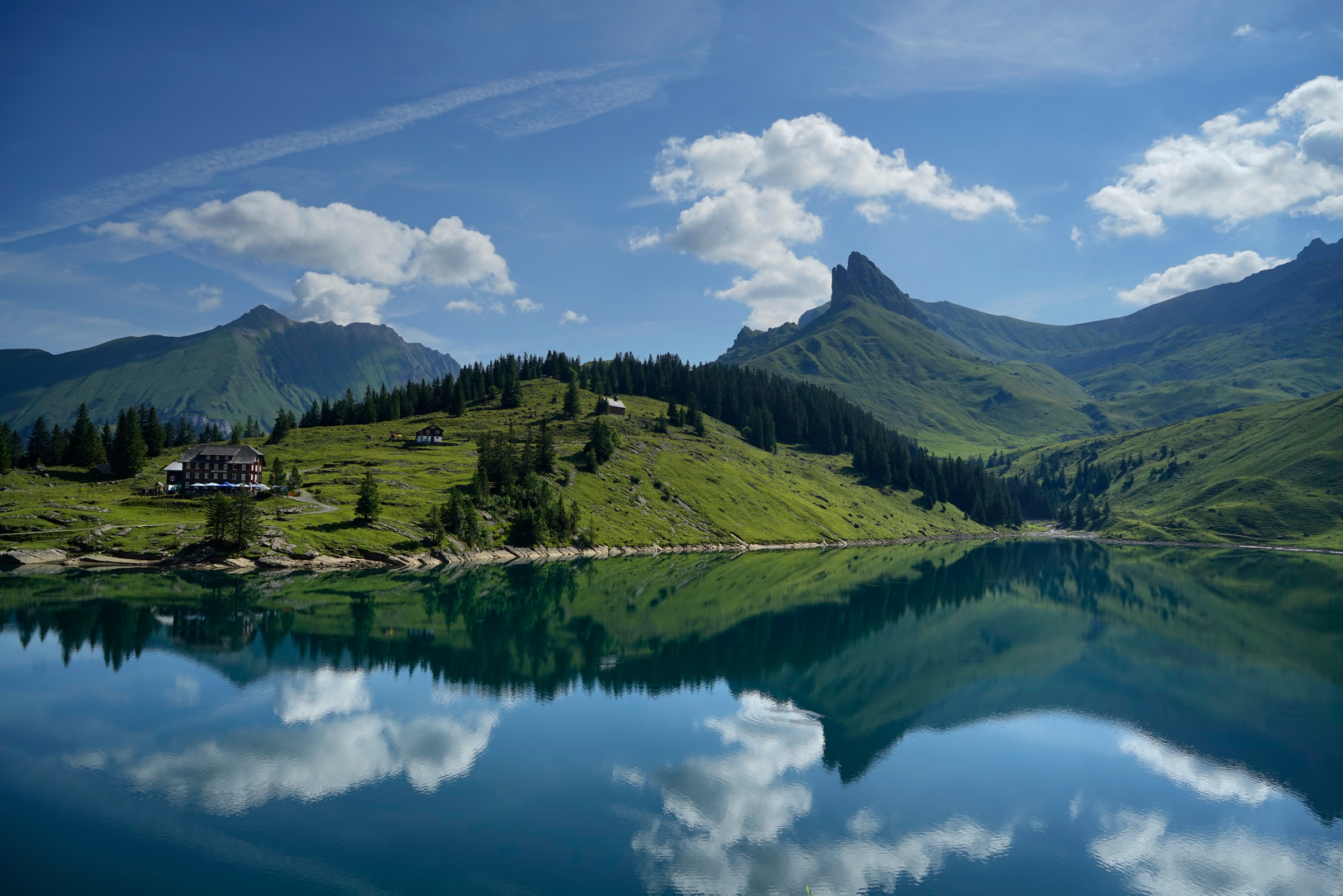
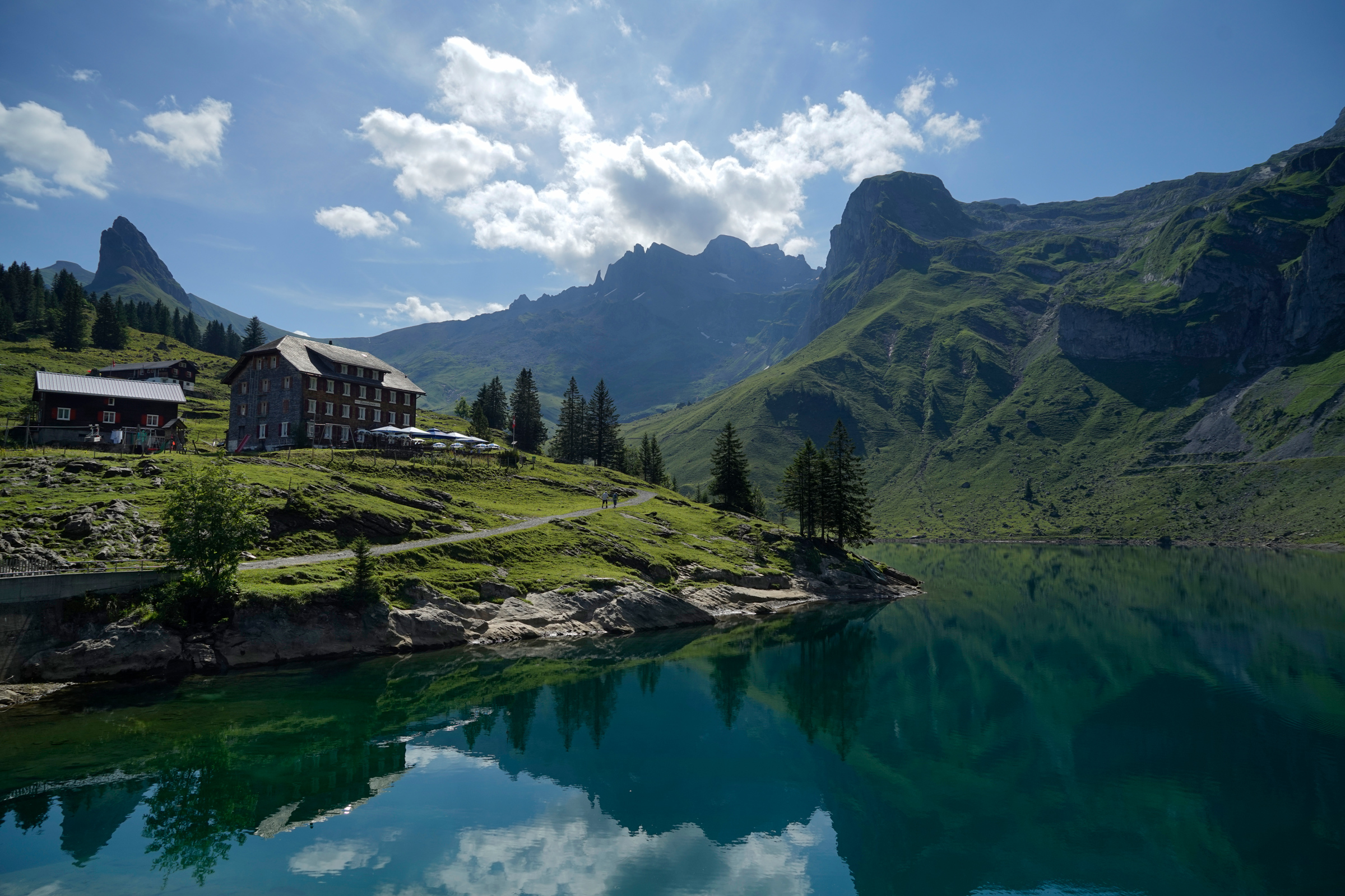
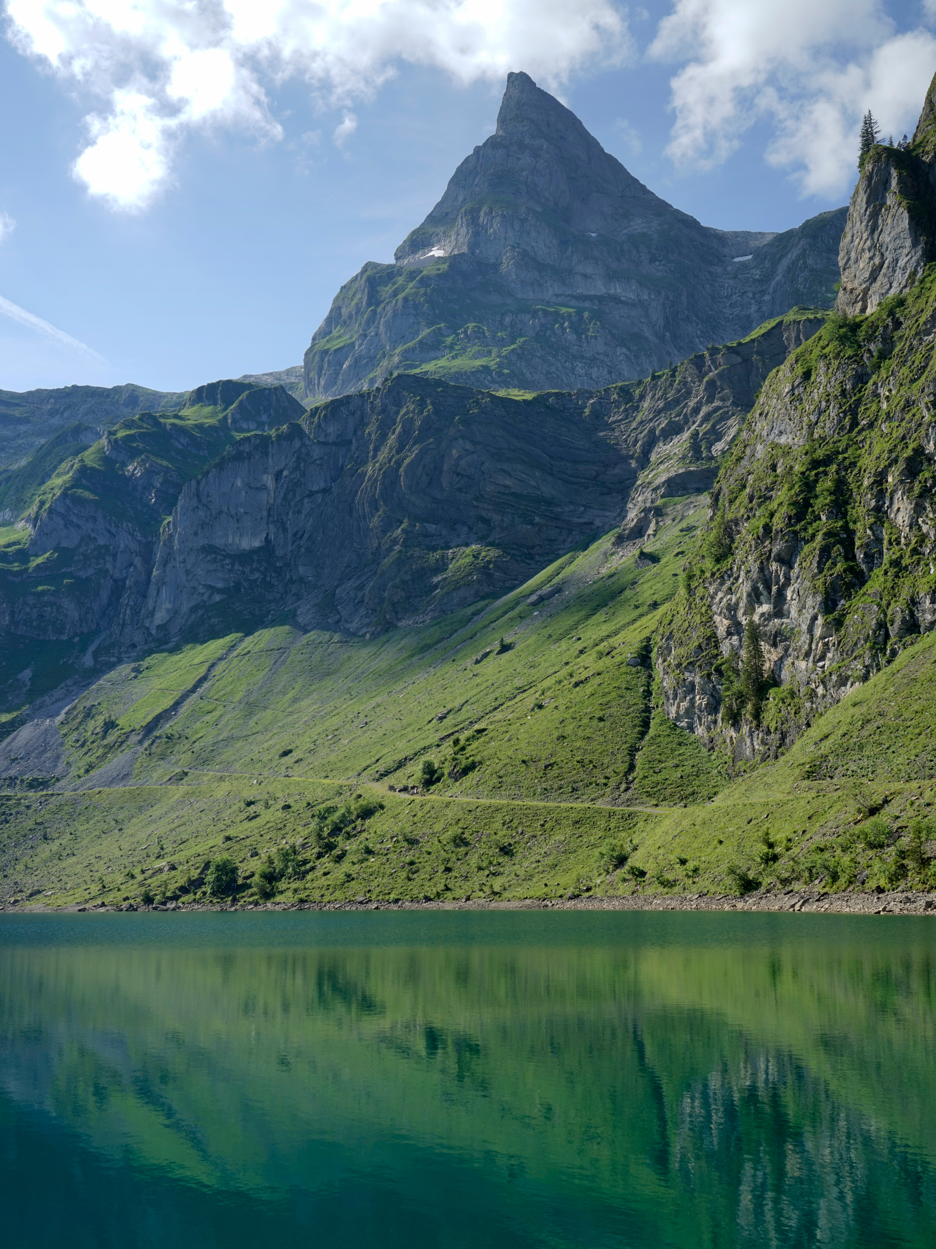
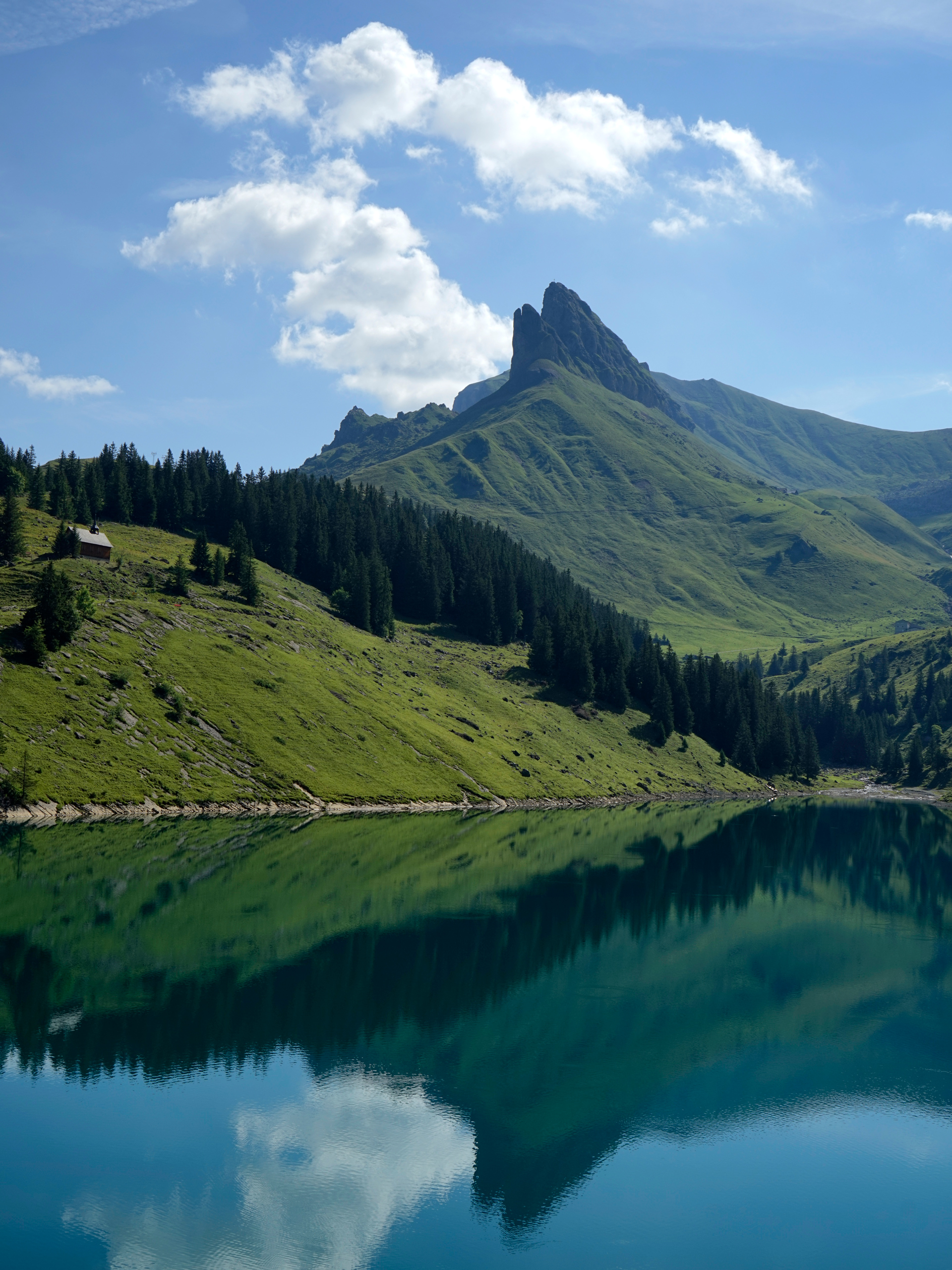
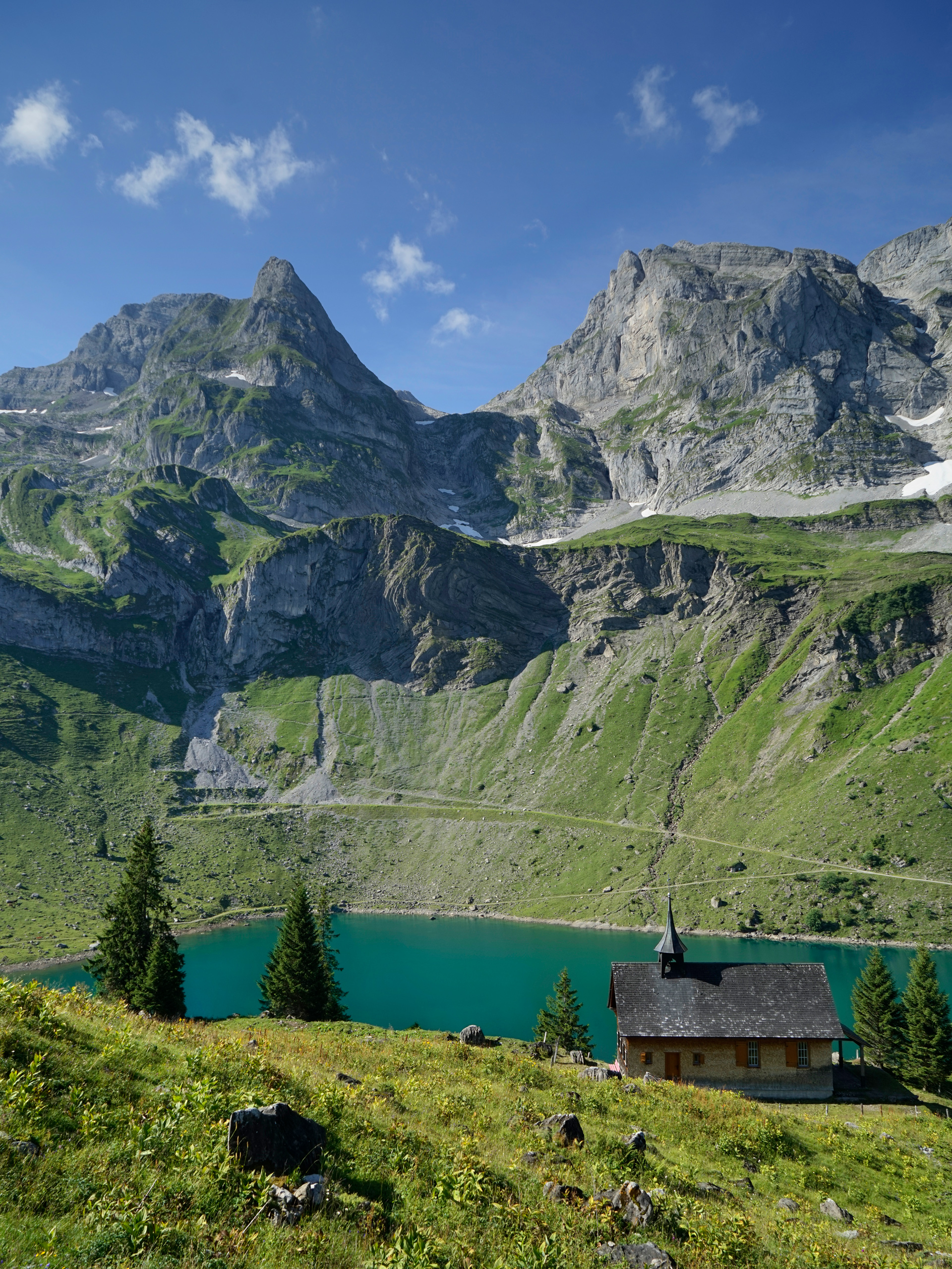
Start by taking the Gondola in Fell: 46.883362, 8.421314, which takes you up to the Chrüzhütte station: 46.871785, 8.435311
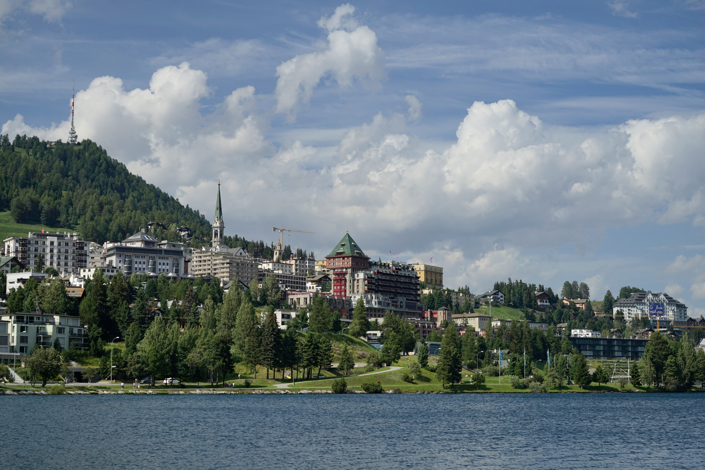
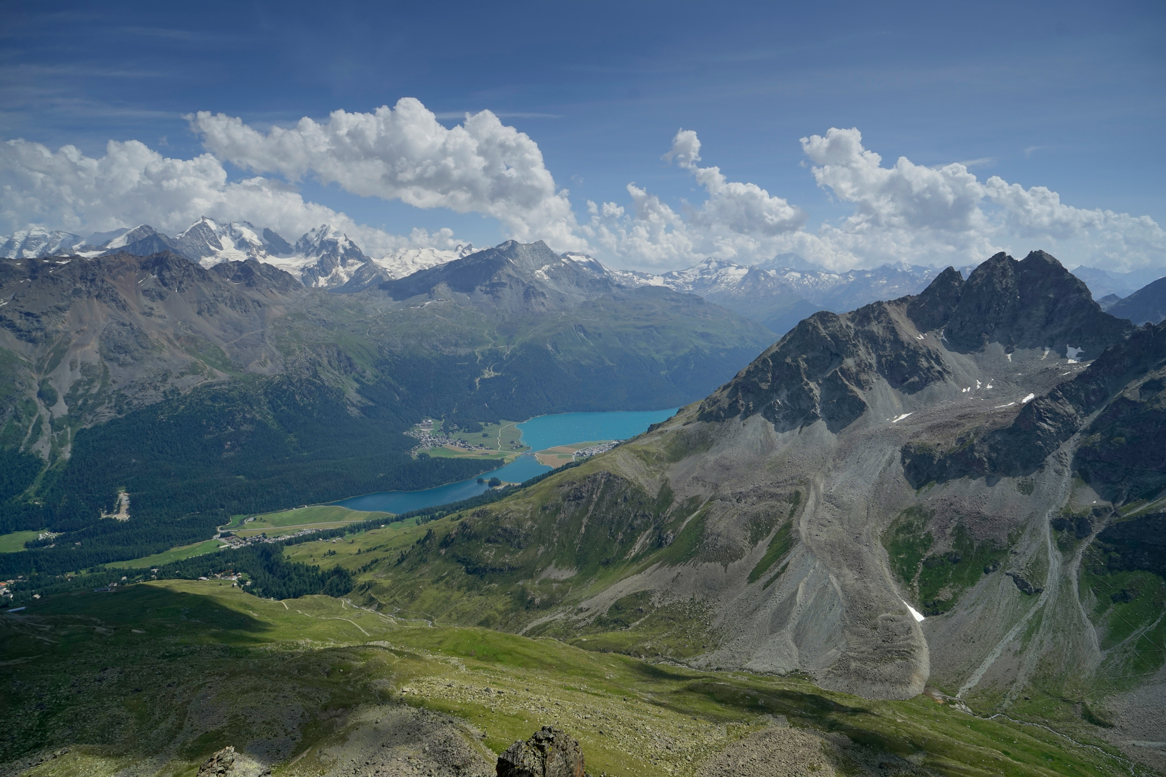
St. Moritz
General Tips
Getting a Swiss Railways Half Price Card can save you money if you are planning on riding the lifts, cable cars, and tramways throughout the country.
Also note that these are high-elevation mountains with few or no trees for shade, and it can get chilly even in the middle of summer.
Starting Acetazolamide a couple of days before your trip might be a good idea if you are prone to altitude sickness.
More Stories


