January 2015
New Zealand is made up of two main islands.
The weather on the North Island is generally warmer, and it is known for its swimmable beaches and scuba diving.
The country's two major urban centers, Auckland and Wellington, are both located on the North Island.
Airports in Queenstown and Christchurch serve the South Island, which is better known for its mountains and fjords.
I was in New Zealand for a week of research work, and Auckland was the base for my weekday activities.
At the end of the week, I had a few days on my own to fly to the South Island and explore the area between Queenstown and the Milford Sound.
Jump to: Auckland / Queenstown / Milford Sound
Auckland
Although Auckland is New Zealand's largest city, it is possible to walk around the entire downtown area in a day.
The waterfront near Viaduct Harbor is a popular tourist area.
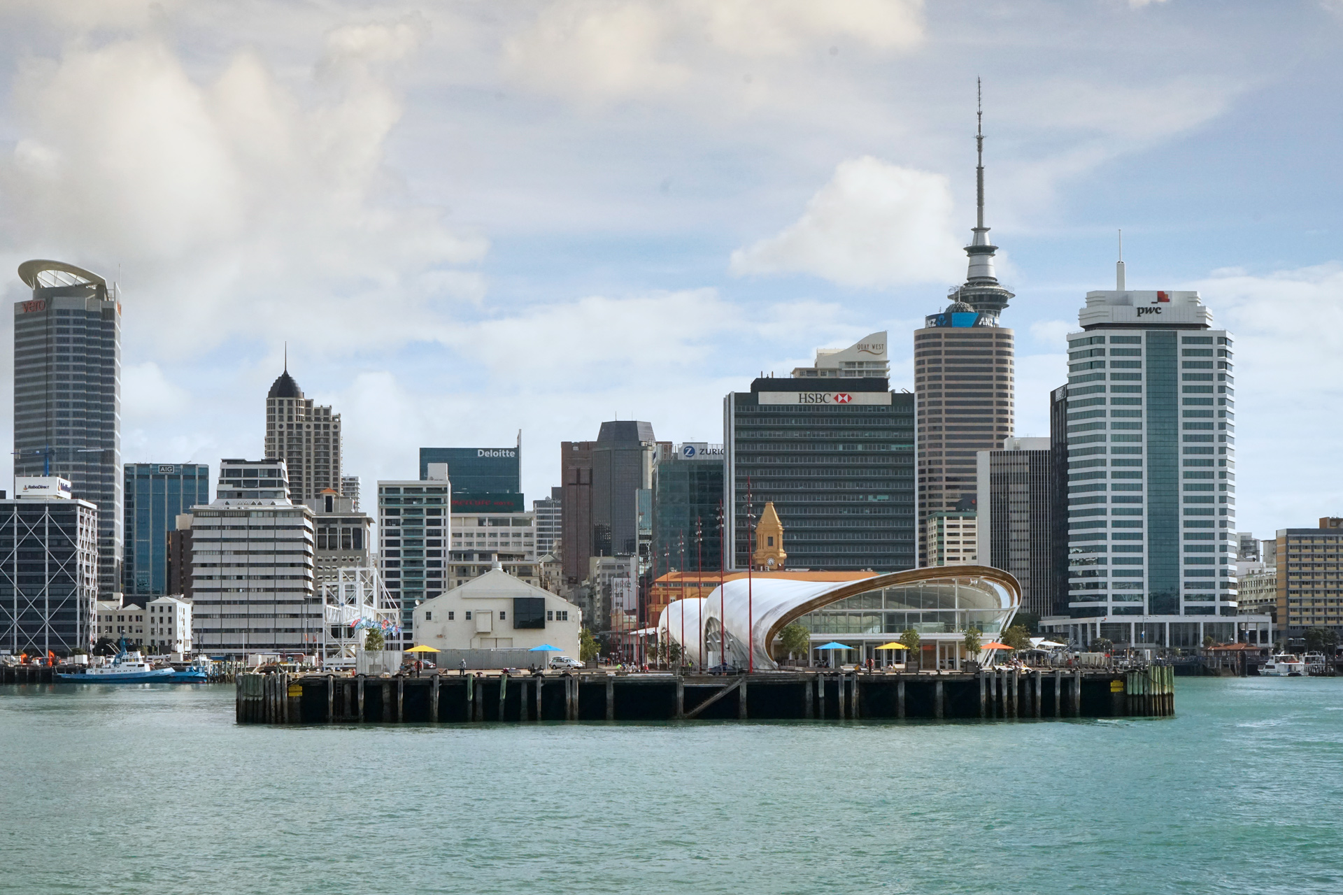
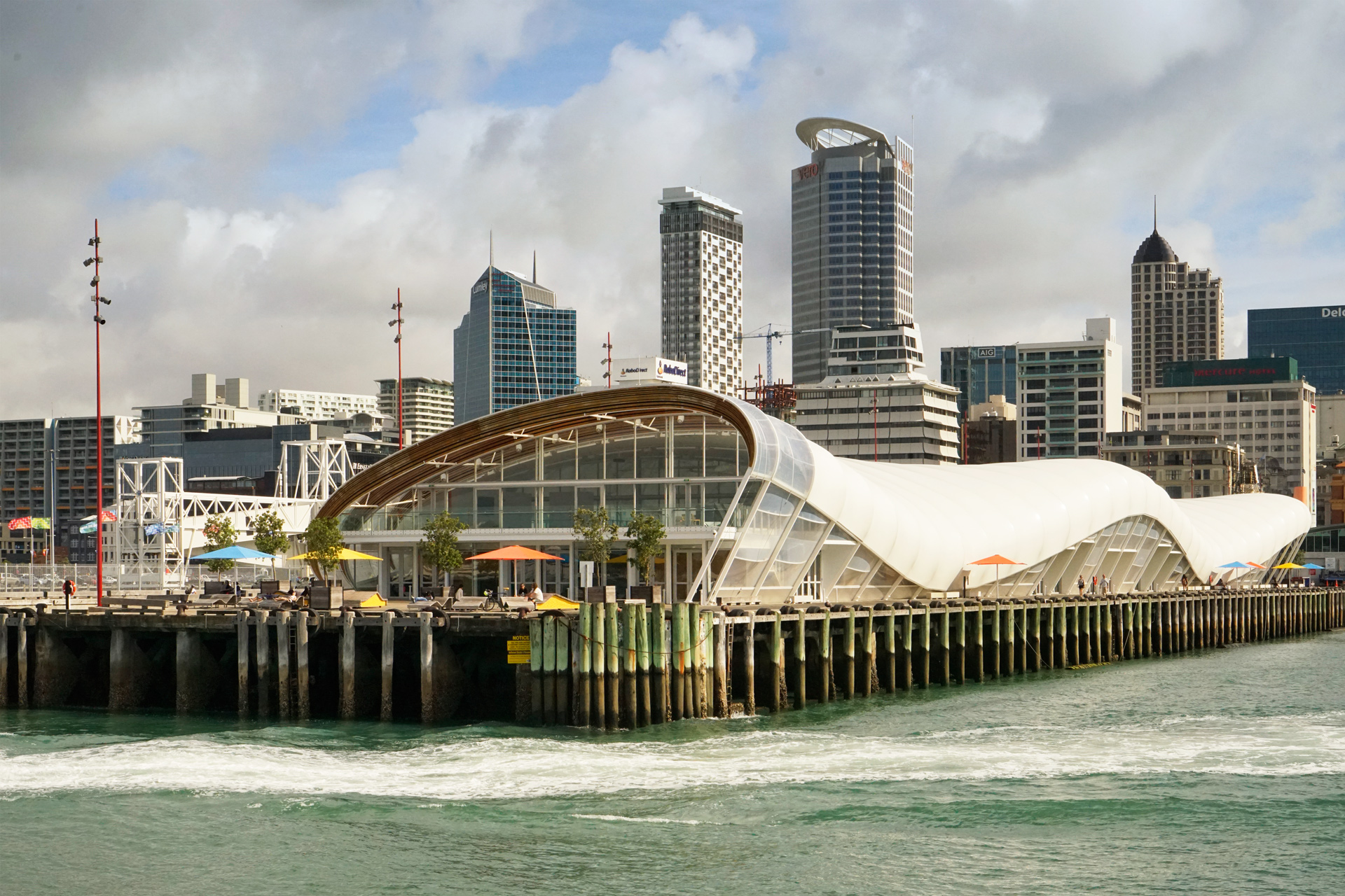
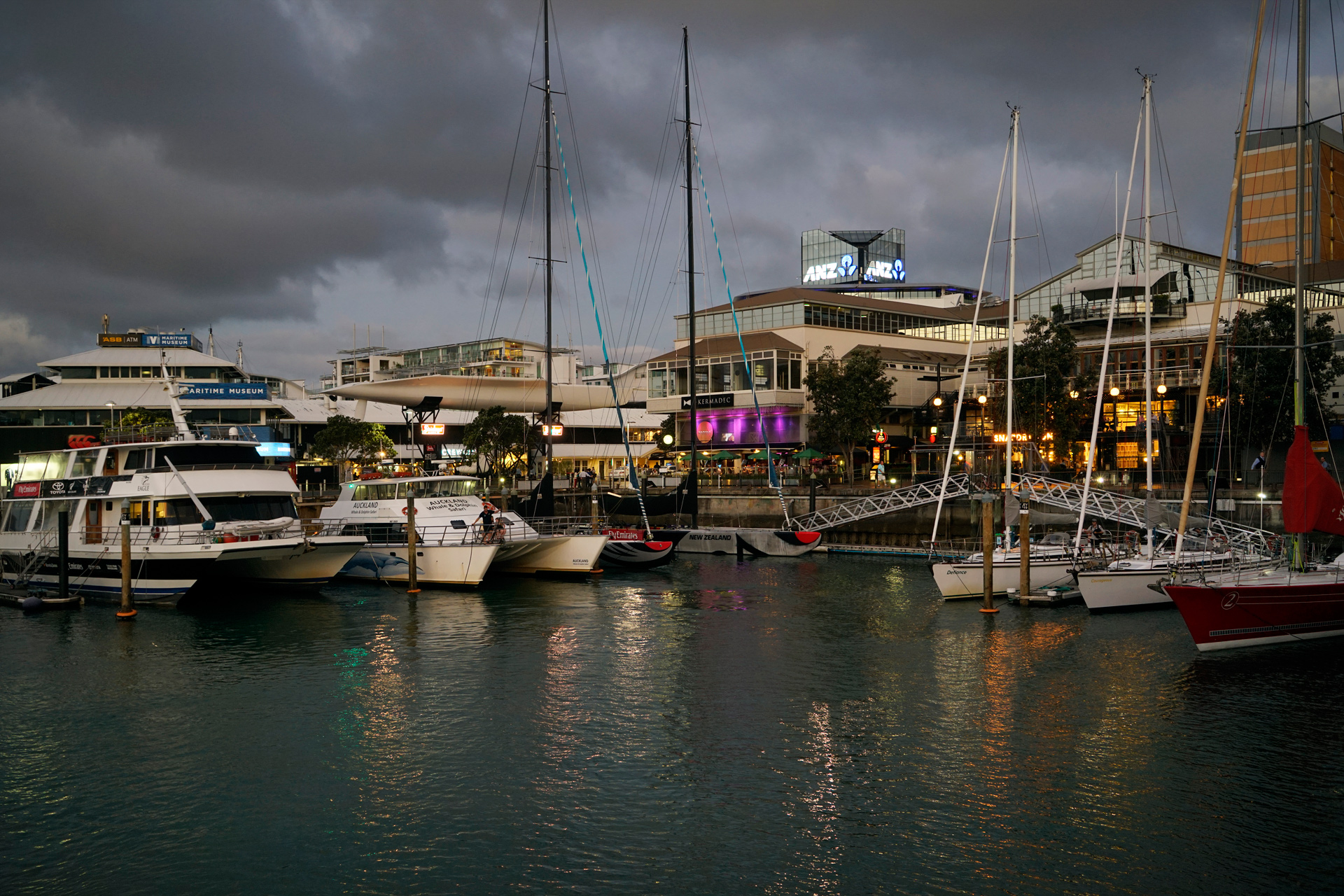
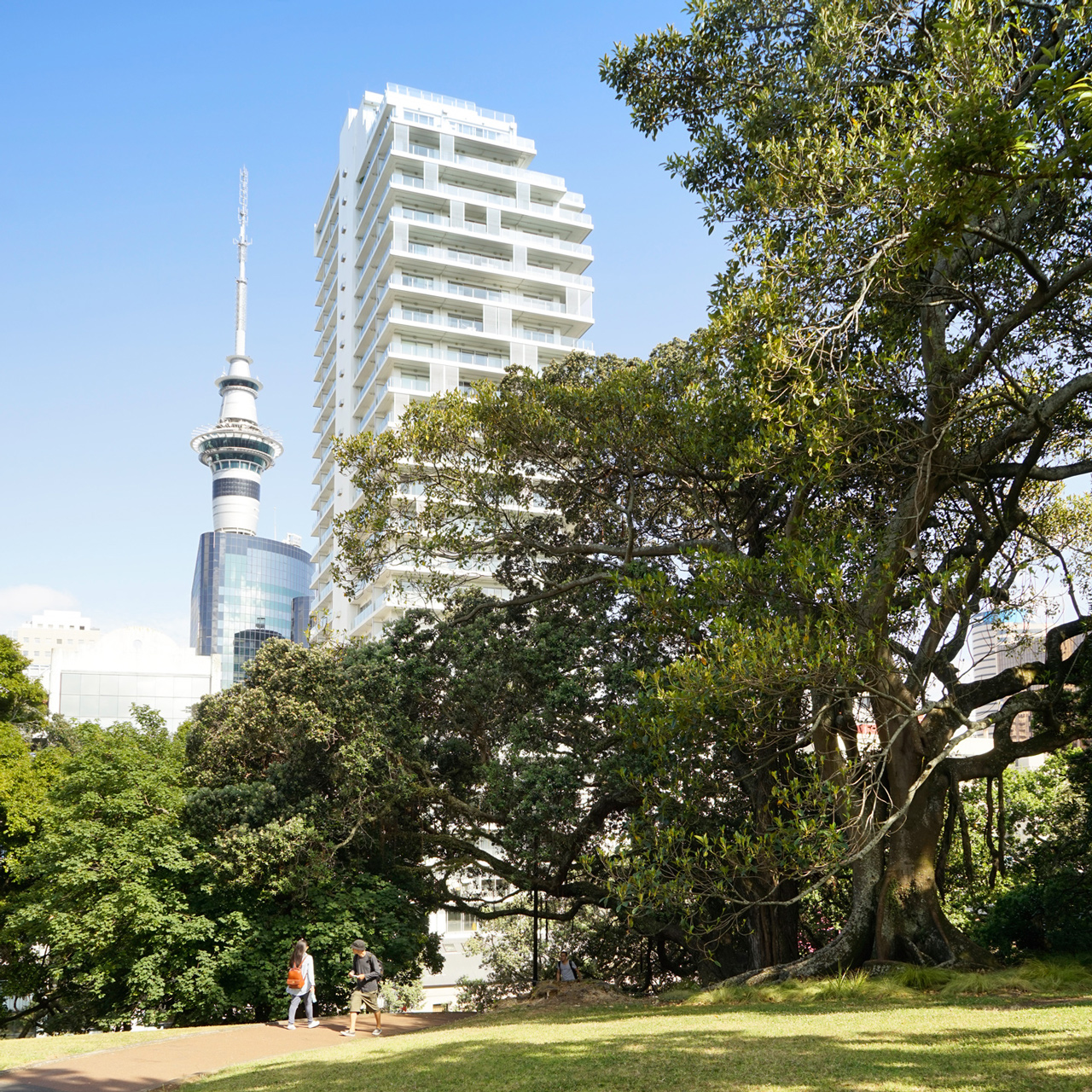
Albert Park, a few blocks inland, is more quiet, and the Auckland Art Gallery is located on its southwest corner.
There are also plenty of restaurants nearby at Chancery Square or along High Street.
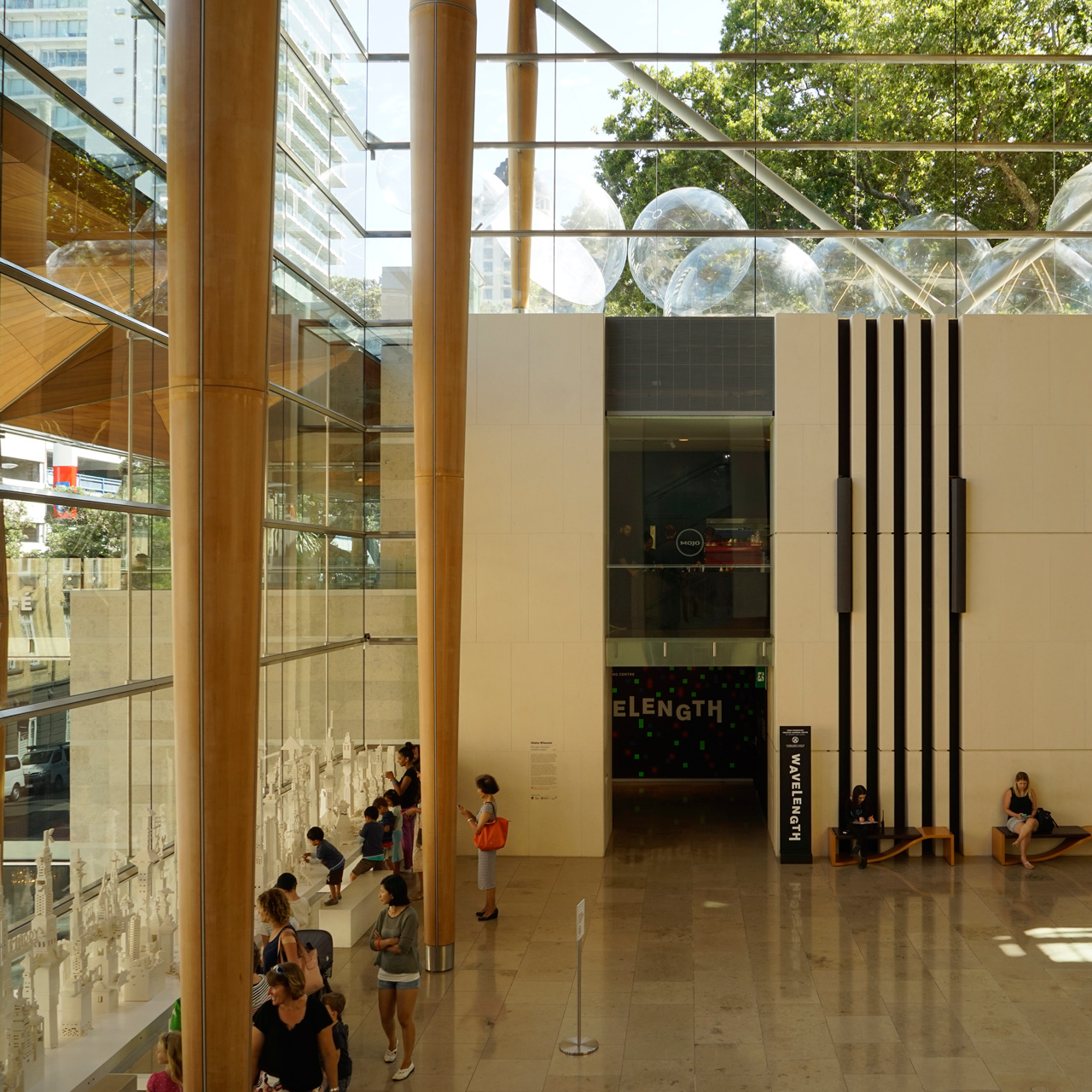
A couple of miles south, you can get a nice view of the city center from the Mt. Eden Summit.
From the upper area, you can clearly make out the rim of this dormant volcano.
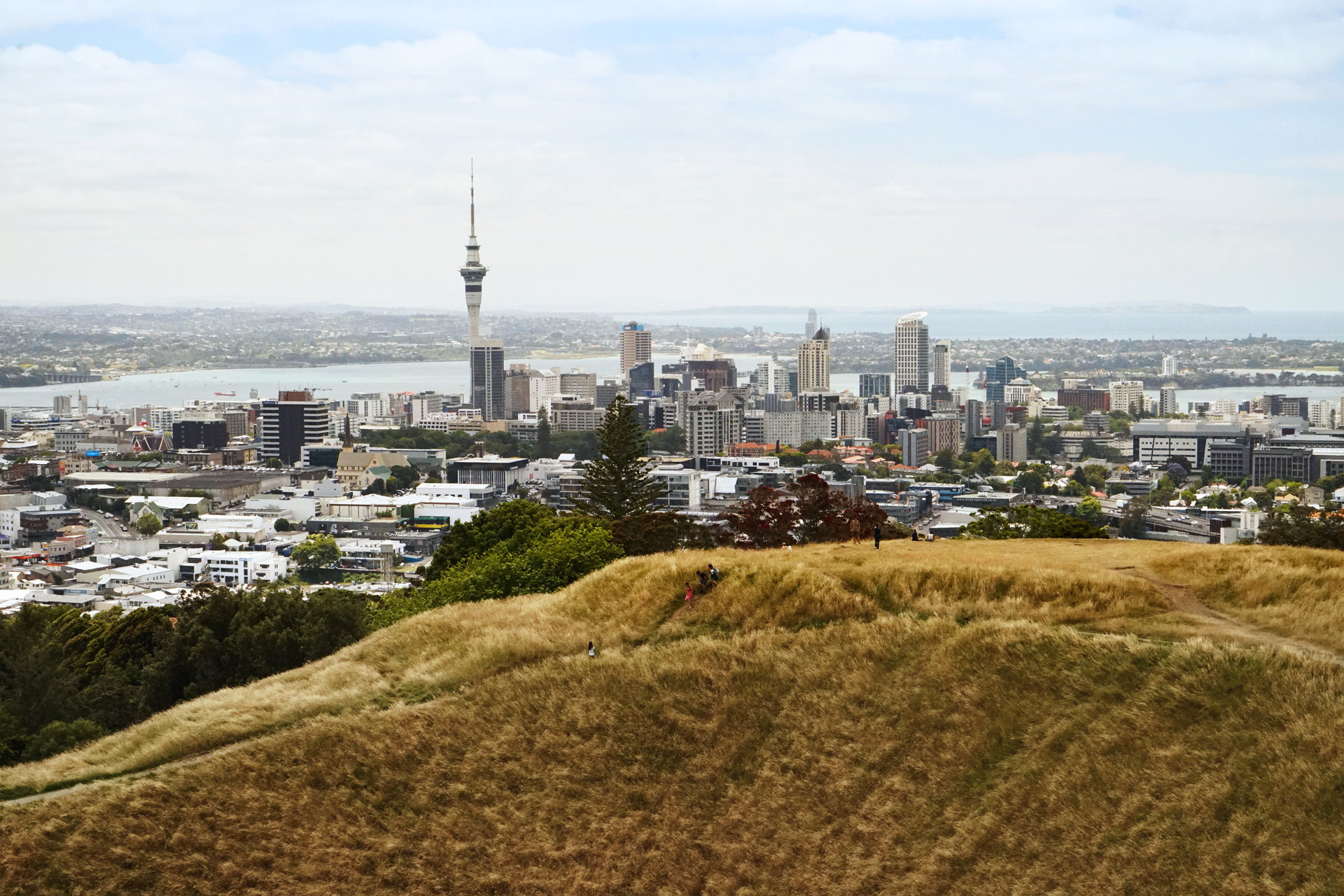
Auckland from Mt. Eden Summit
For another expansive view of the city, you can take a quick ferry ride north across the bay to Devonport and walk to the top of Mt. Victoria.
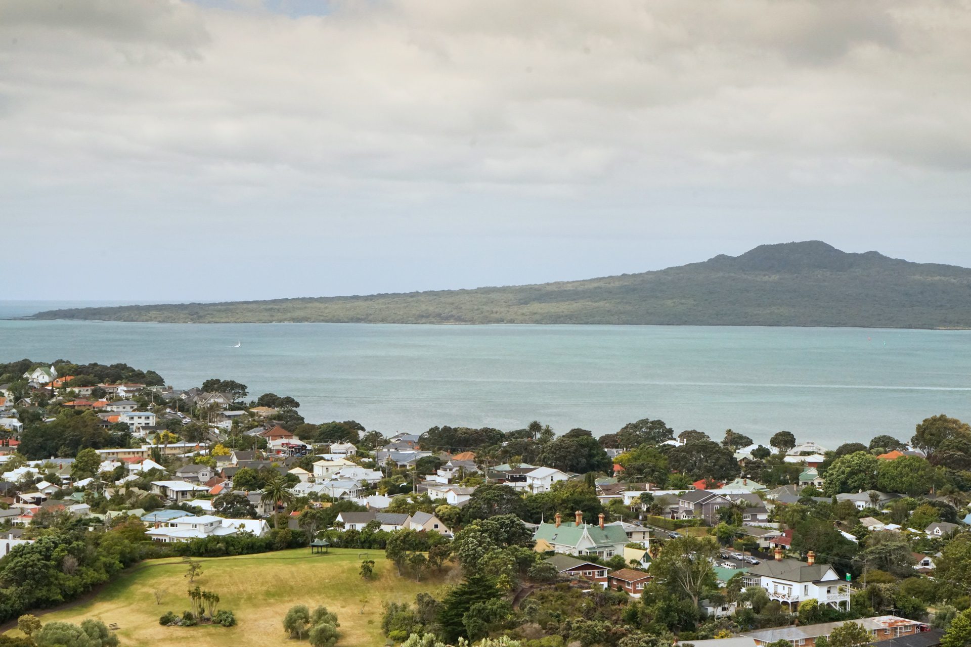
A view of Rangitoto Island from Mt. Victoria in Devonport
Owhanake Coastal Track, Waiheke Island
Waiheke Island, a short ferry ride northeast of Auckland, is another great destination for a day trip.
Walking around the Owhanake Coastal Track takes you on a loop around a western section of the island.
It takes about two hours to complete and features some beautiful secluded beach coves and rolling hills.
Because I arrived by boat, I decided to start the loop hike at the ferry terminal on the west side instead of Oneroa Beach, a popular approach from the east.
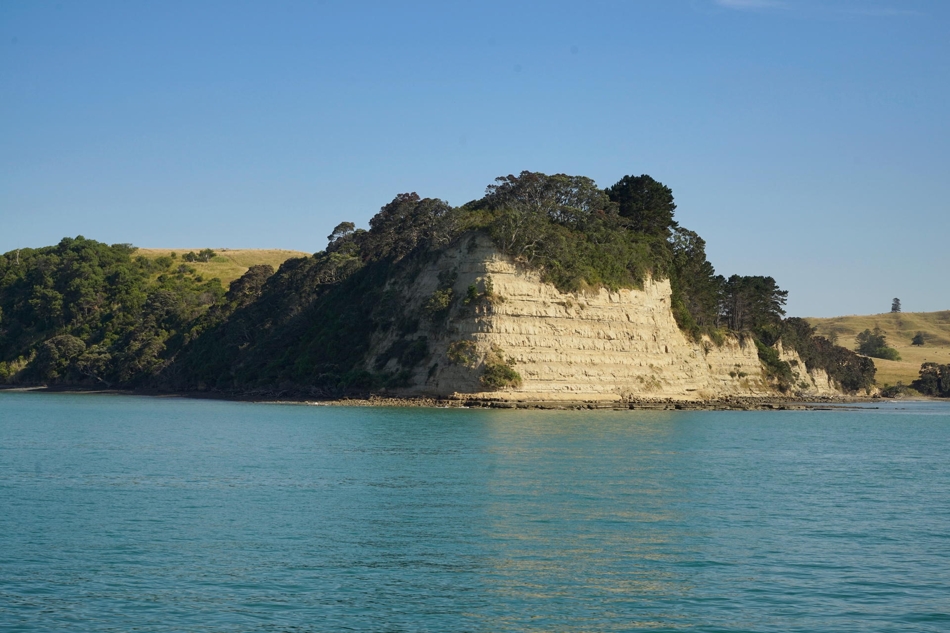
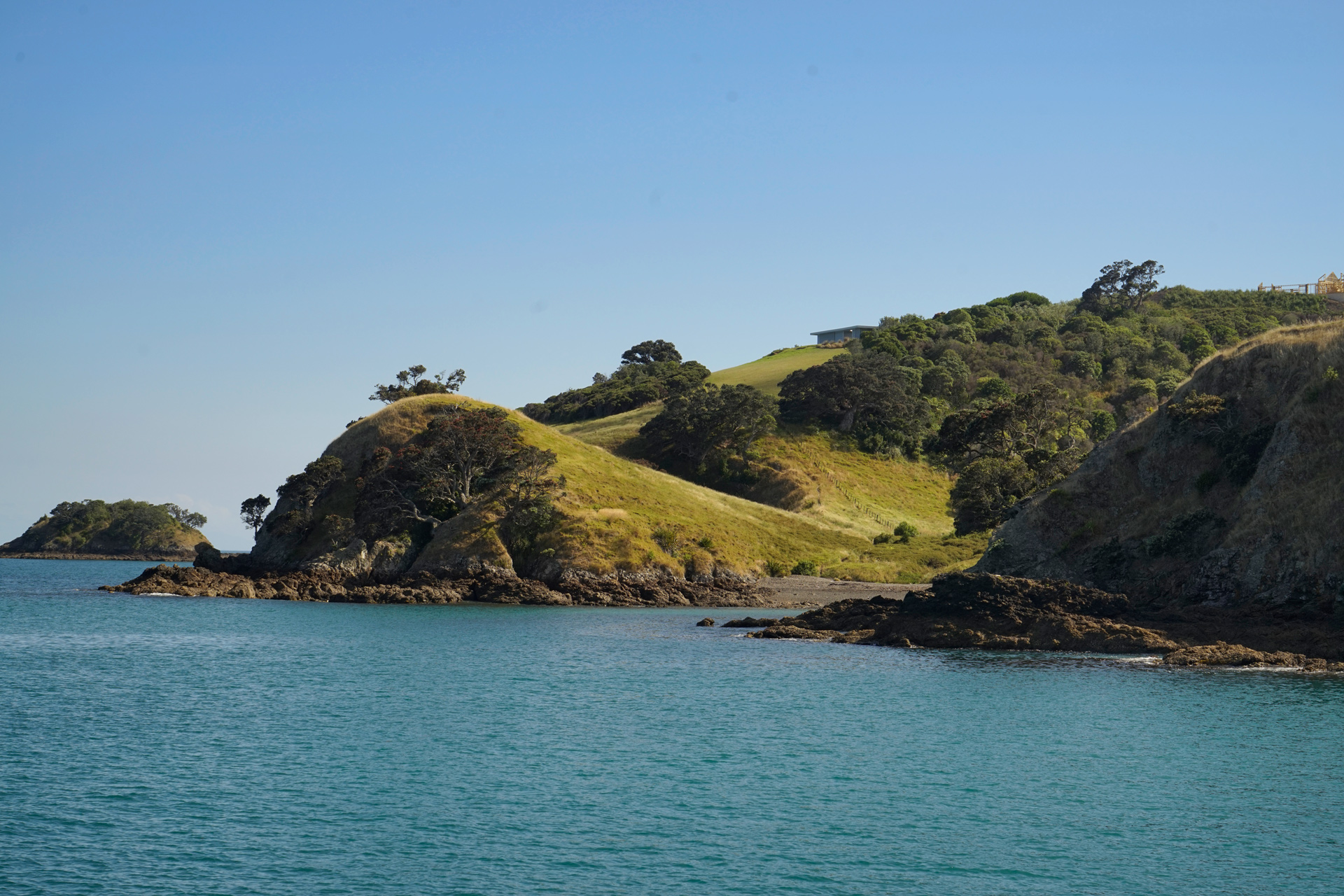
Approaching Waiheke Island by ferry boat
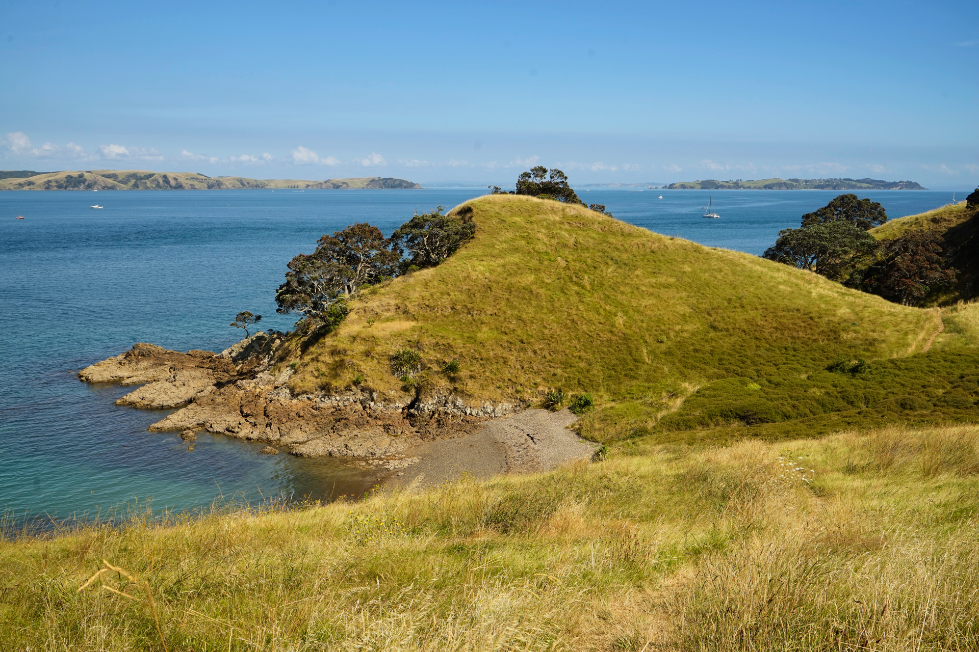
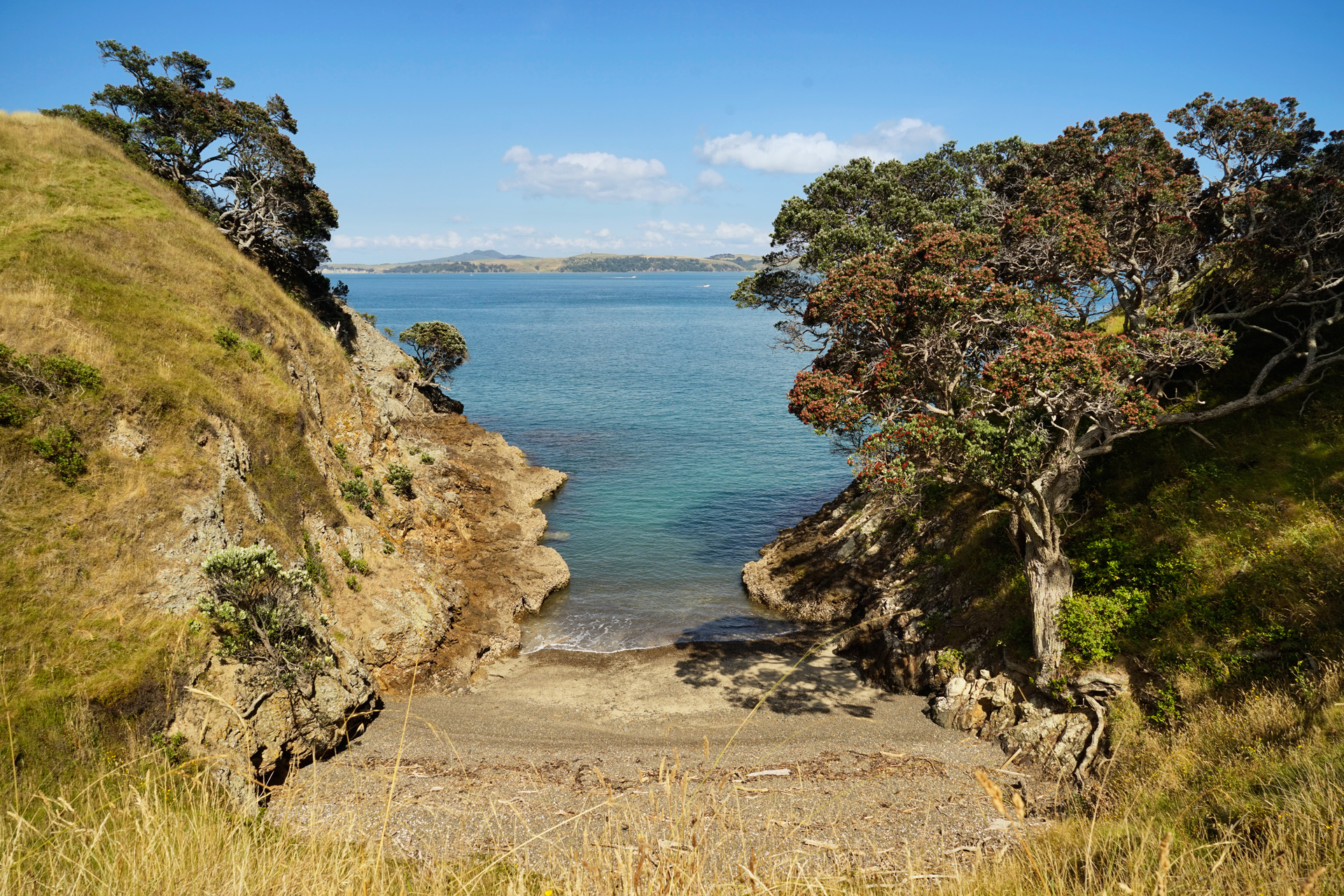
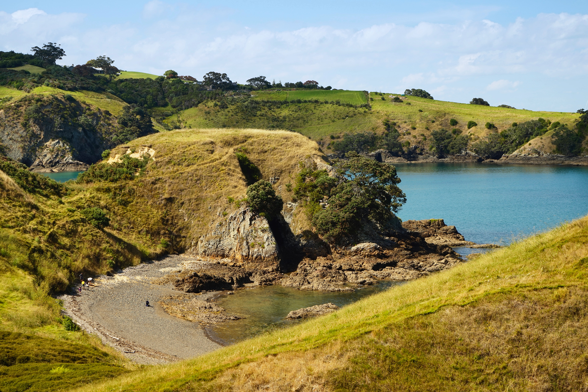
Secluded beach coves near the start of the walk from the ferry terminal
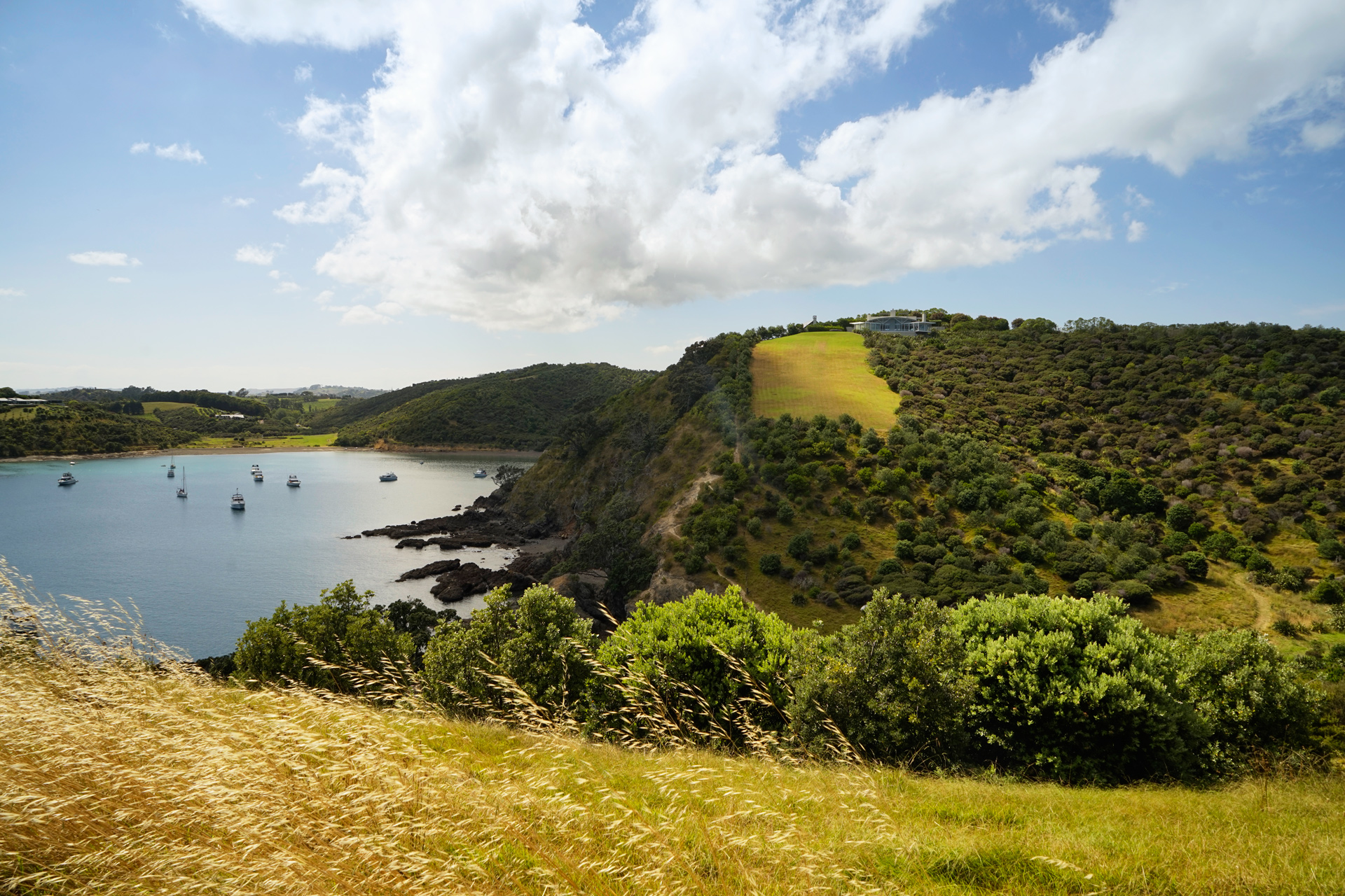
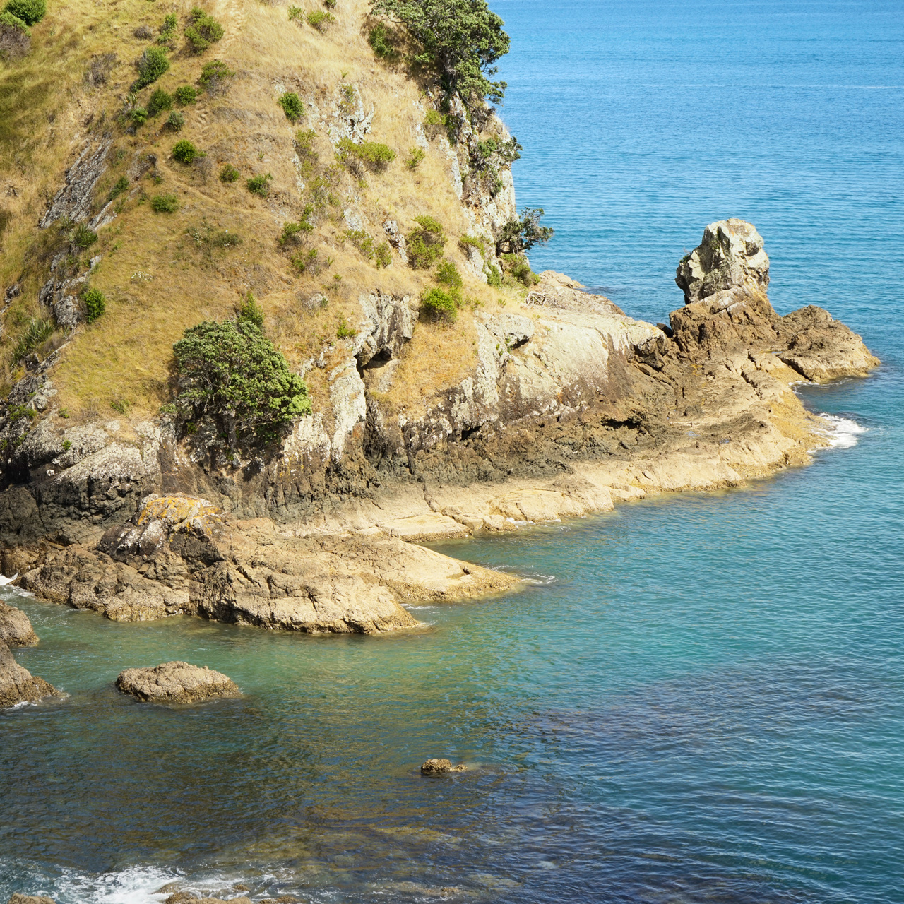
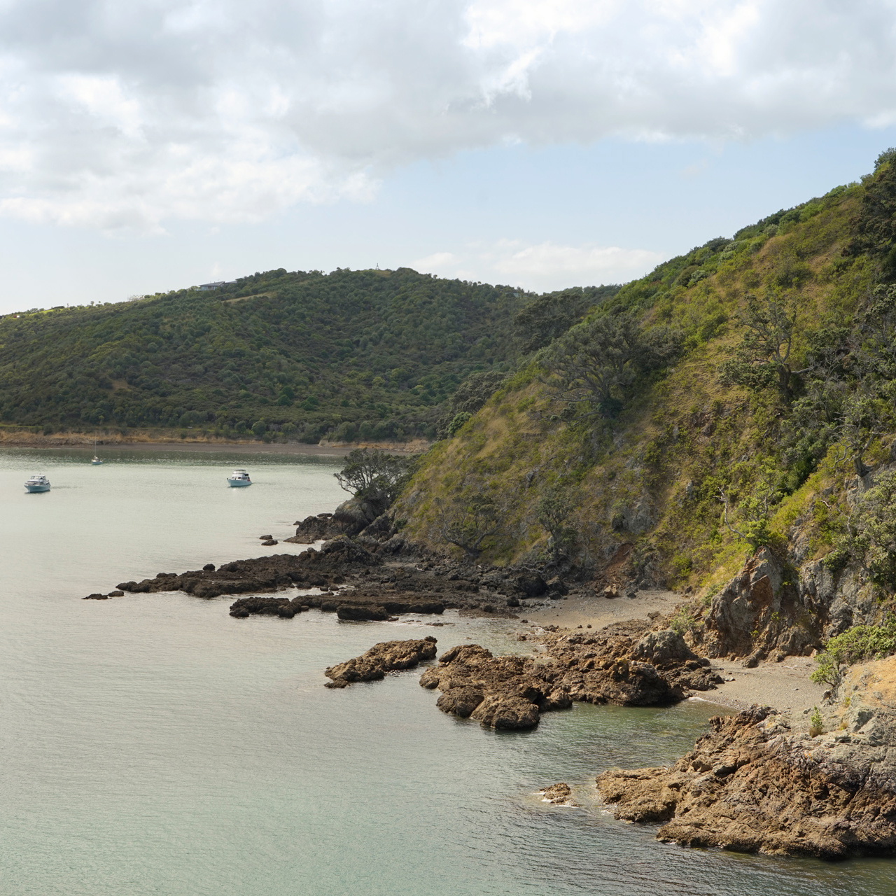
Owhanake Bay
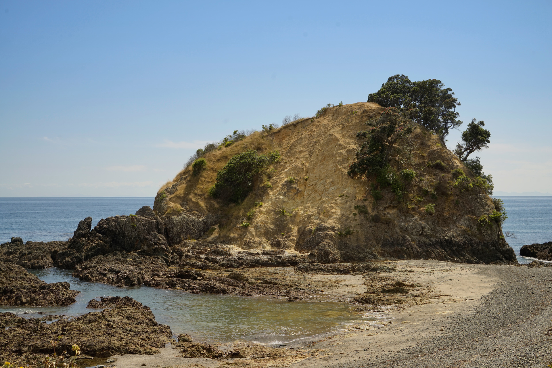
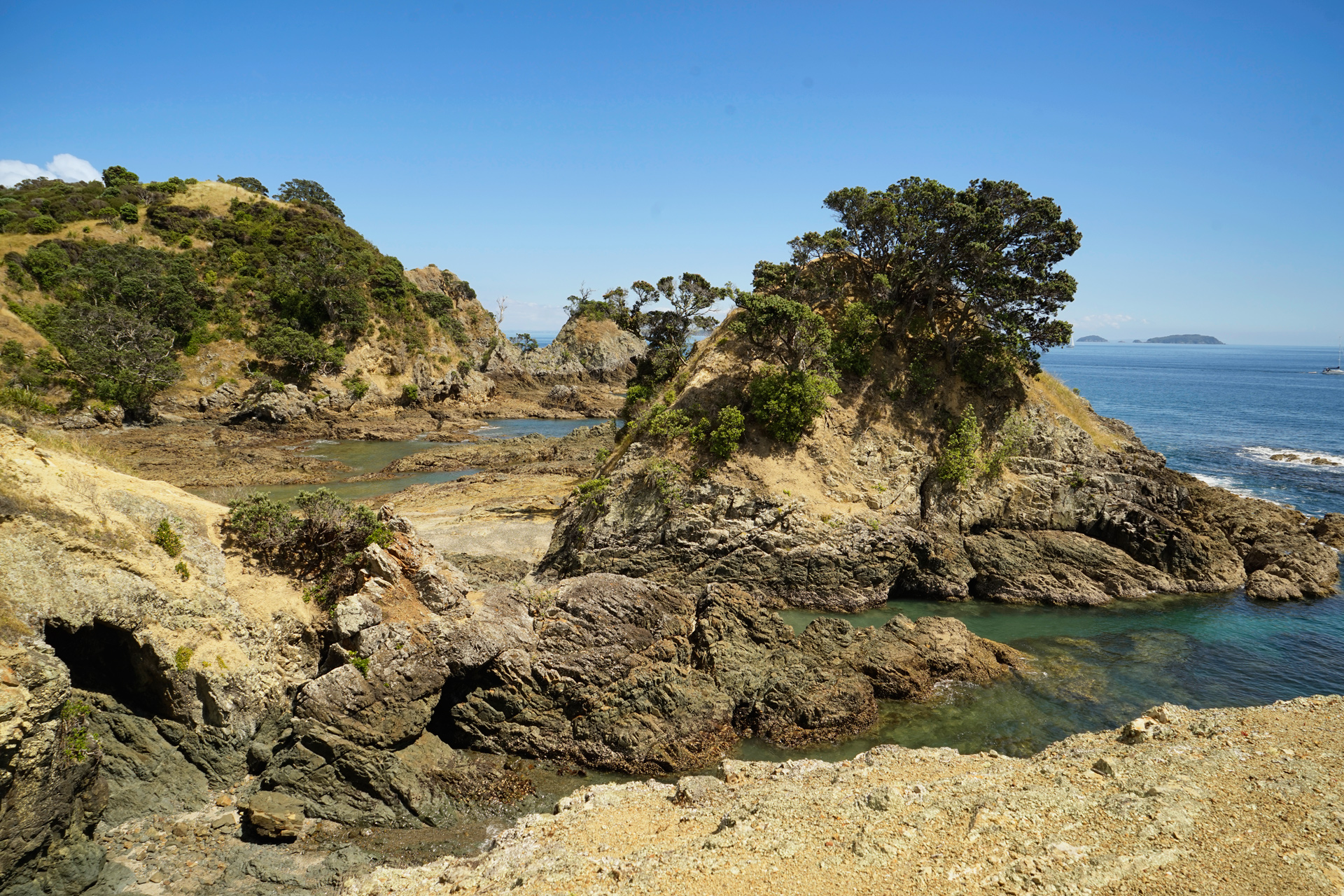
At a cove between Owhanake Bay and Oneroa Bay
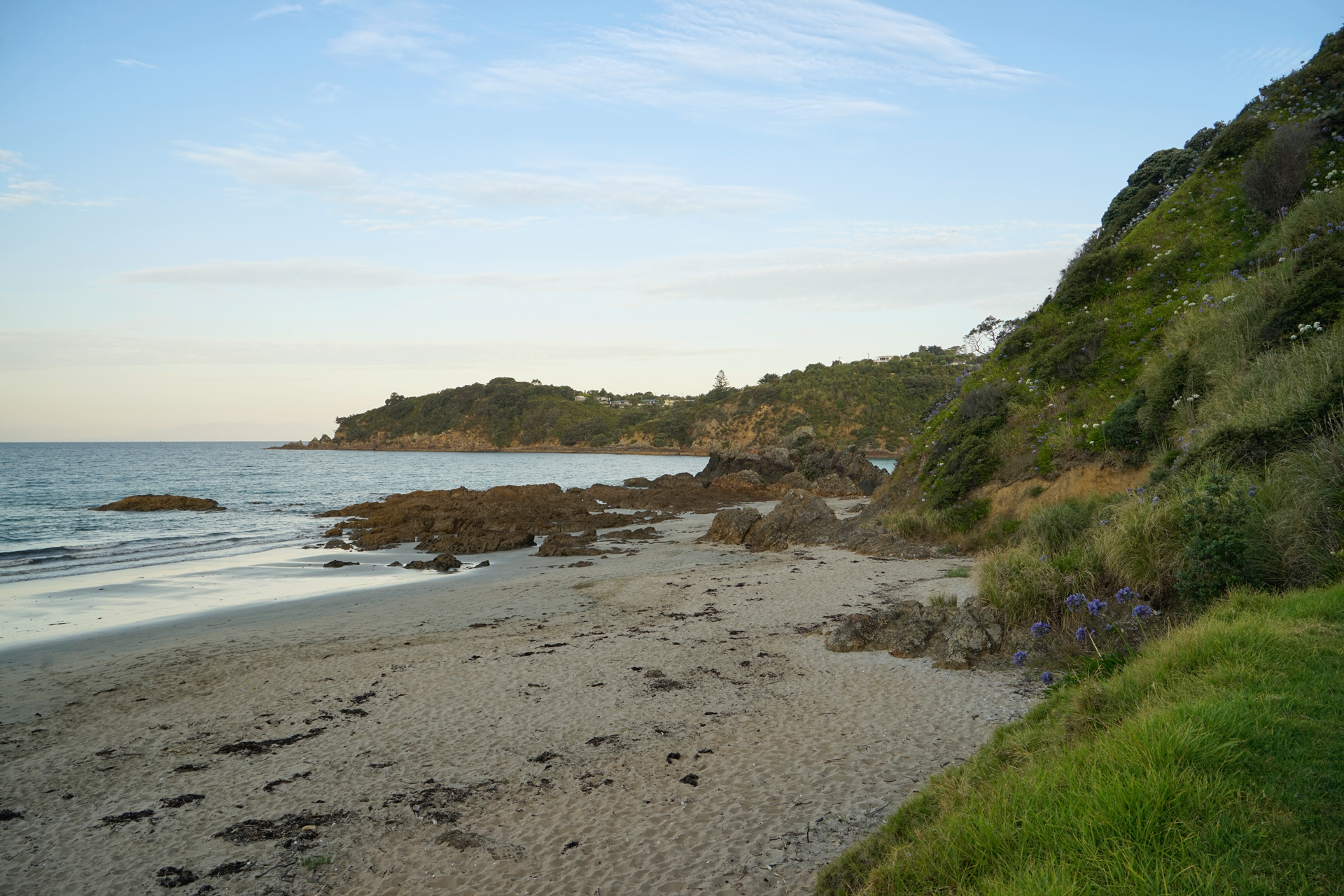
Oneroa Beach
Queenstown
Queenstown makes a great impression from the moment you get off the plane.
The Remarkables mountain range looms prominently just south of the airport, and you are surrounded by mountains in all directions.
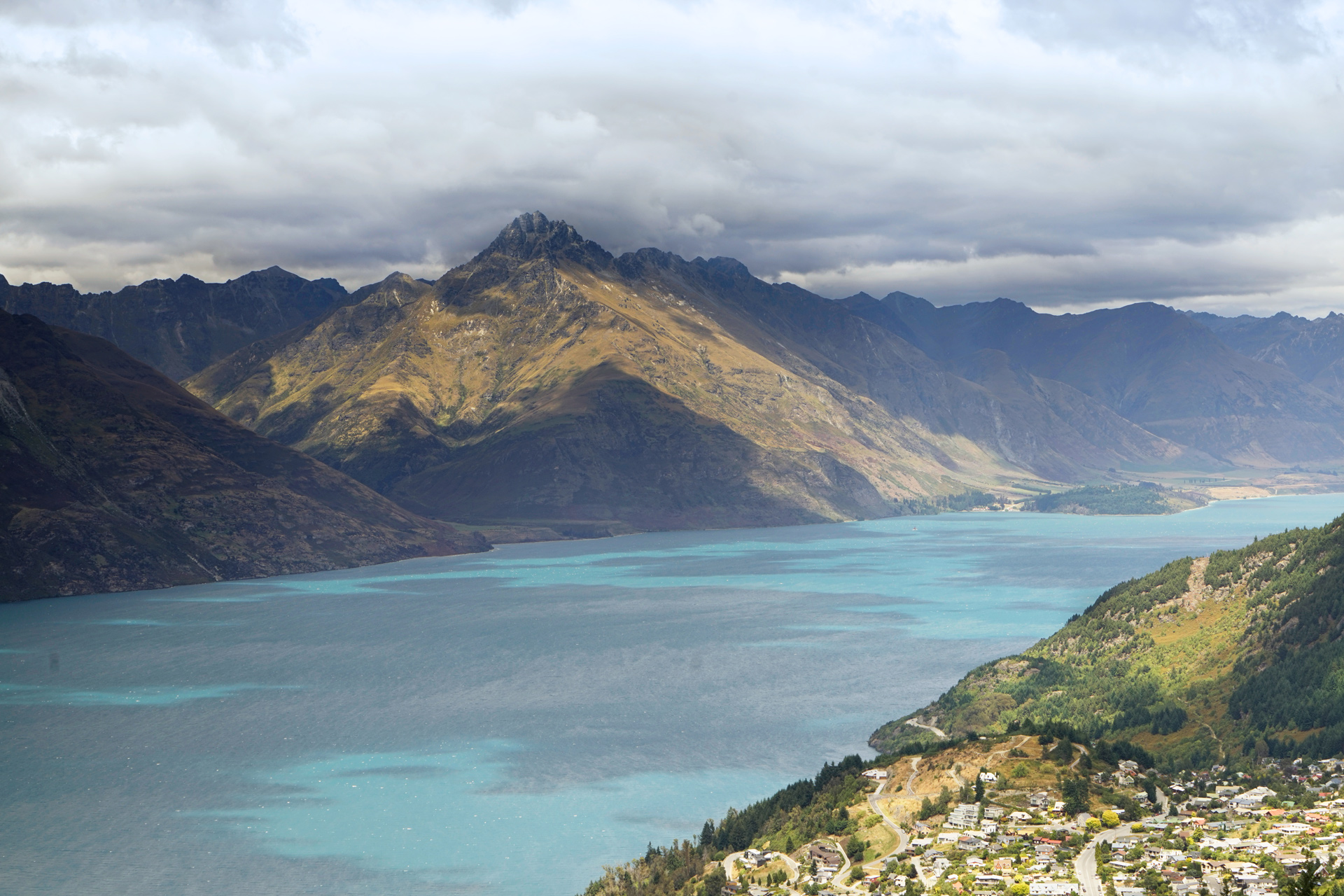
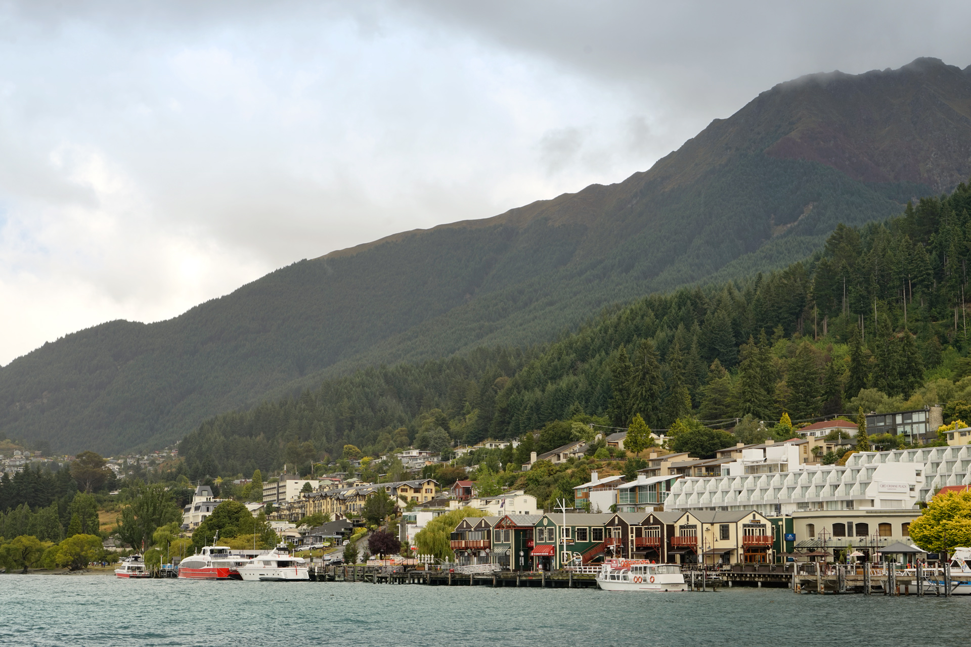
The city center is less than five miles west, and from there, you can ride a gondola up to Bob's Peak for incredible views of Queenstown and Lake Wakatipu.
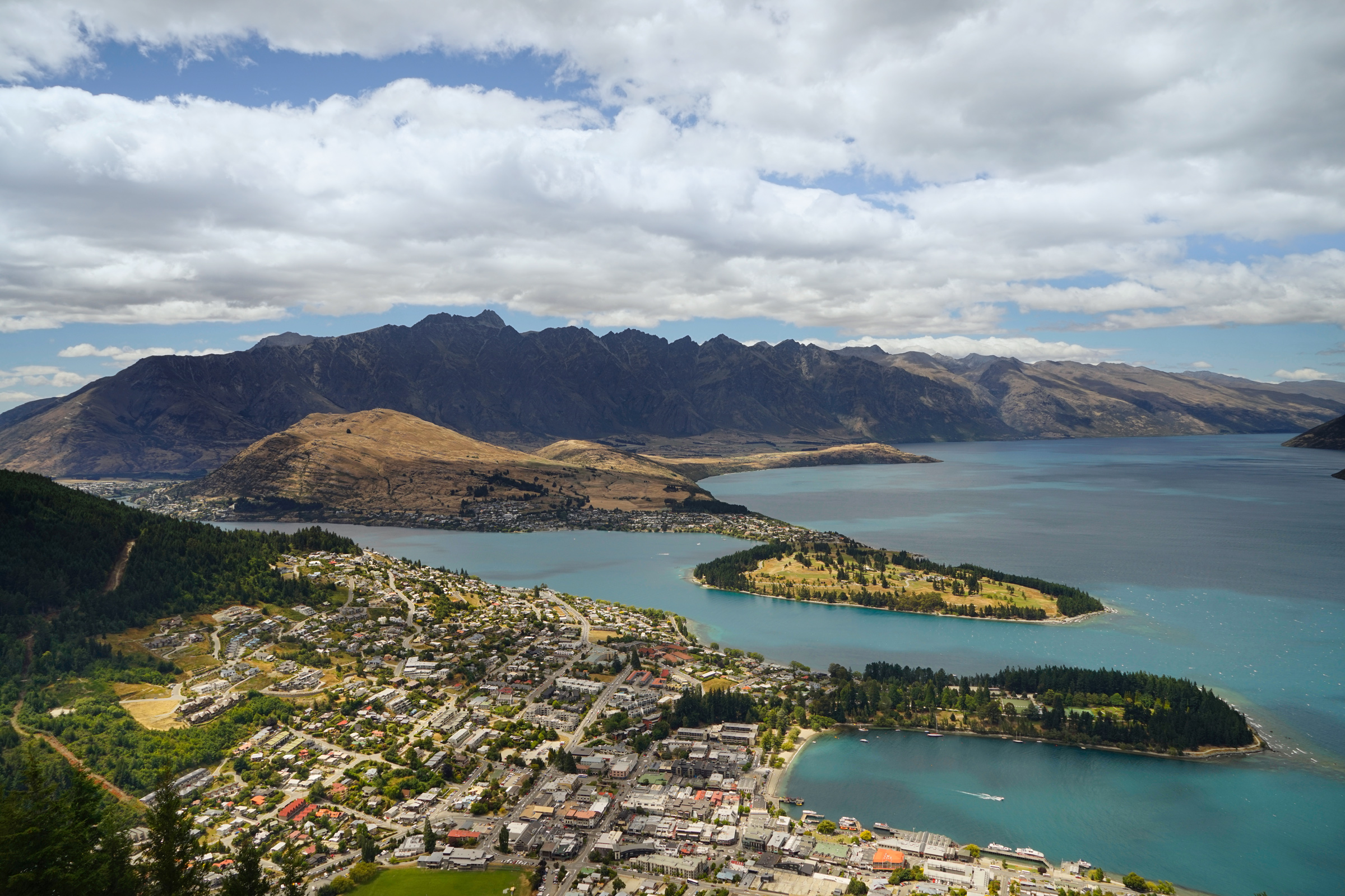
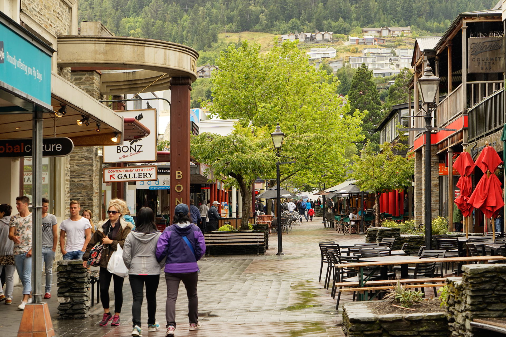
There are a lot of restaurants, cafes and bars in the heart of the city between Camp Street and Marine Parade.
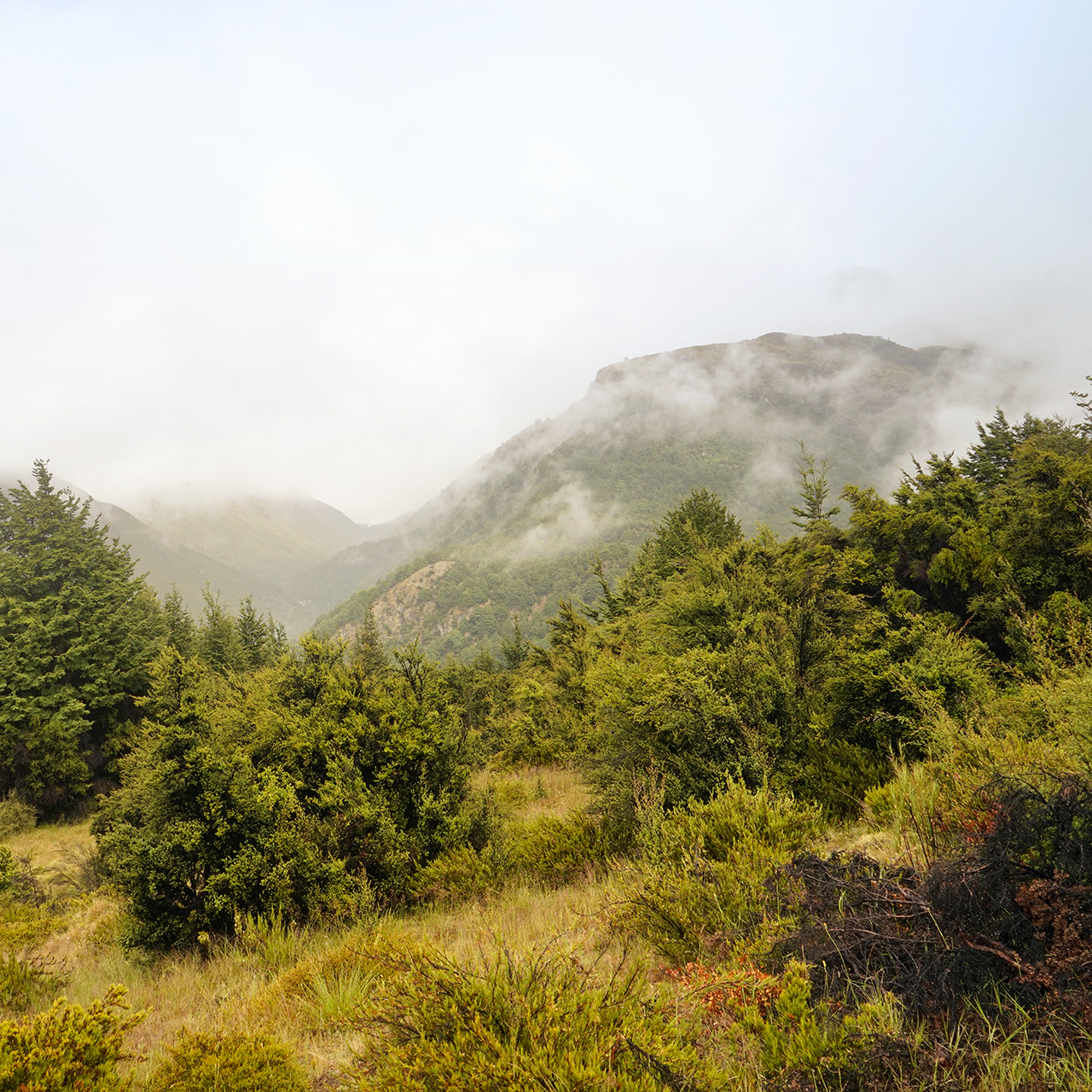
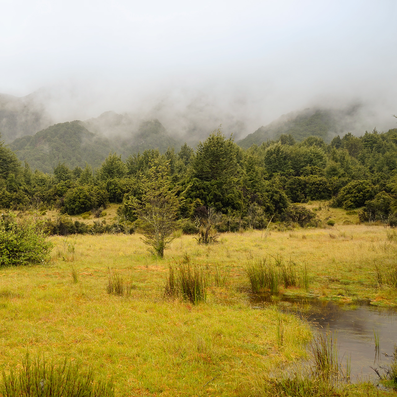
Mt. Crichton Loop Track
4.1 miles loop, 850 feet vertical gain
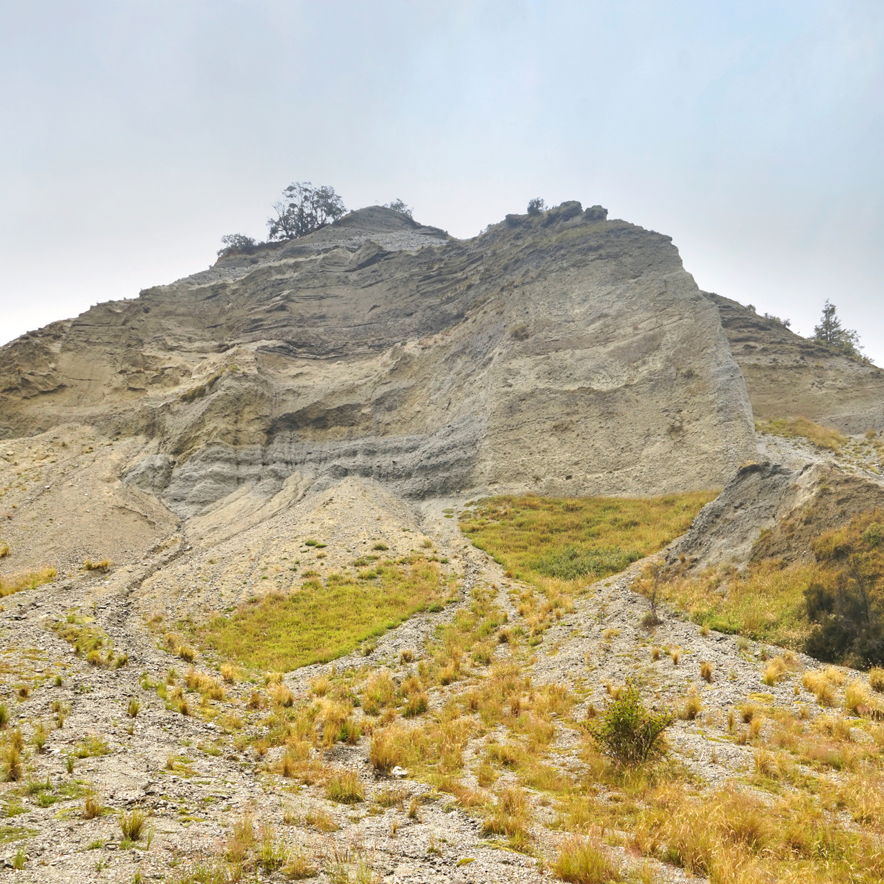
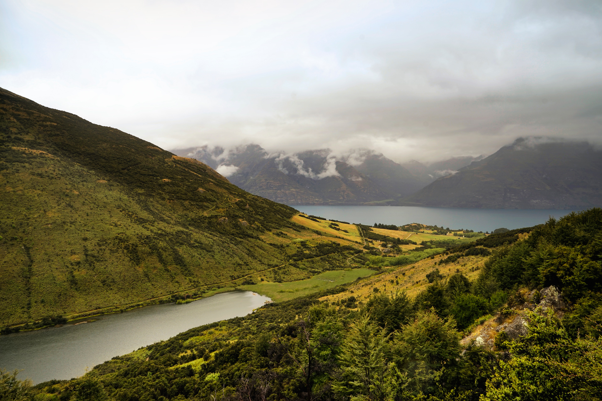
This is an easy hike near Queenstown featuring an abandoned gold miner's hut and views of Lake Dispute and Lake Wakatipu.
The trailhead is located a little over 6 miles from Queentown heading west on Glenorchy Road.
Going clockwise, the path starts under sparse tree cover, then heads up a canyon to reach Sam Sumner's hut.
Shortly afterwards, you will pass some open meadows, ascend a ridge, and see views of Lake Dispute below.
Glenorchy Road
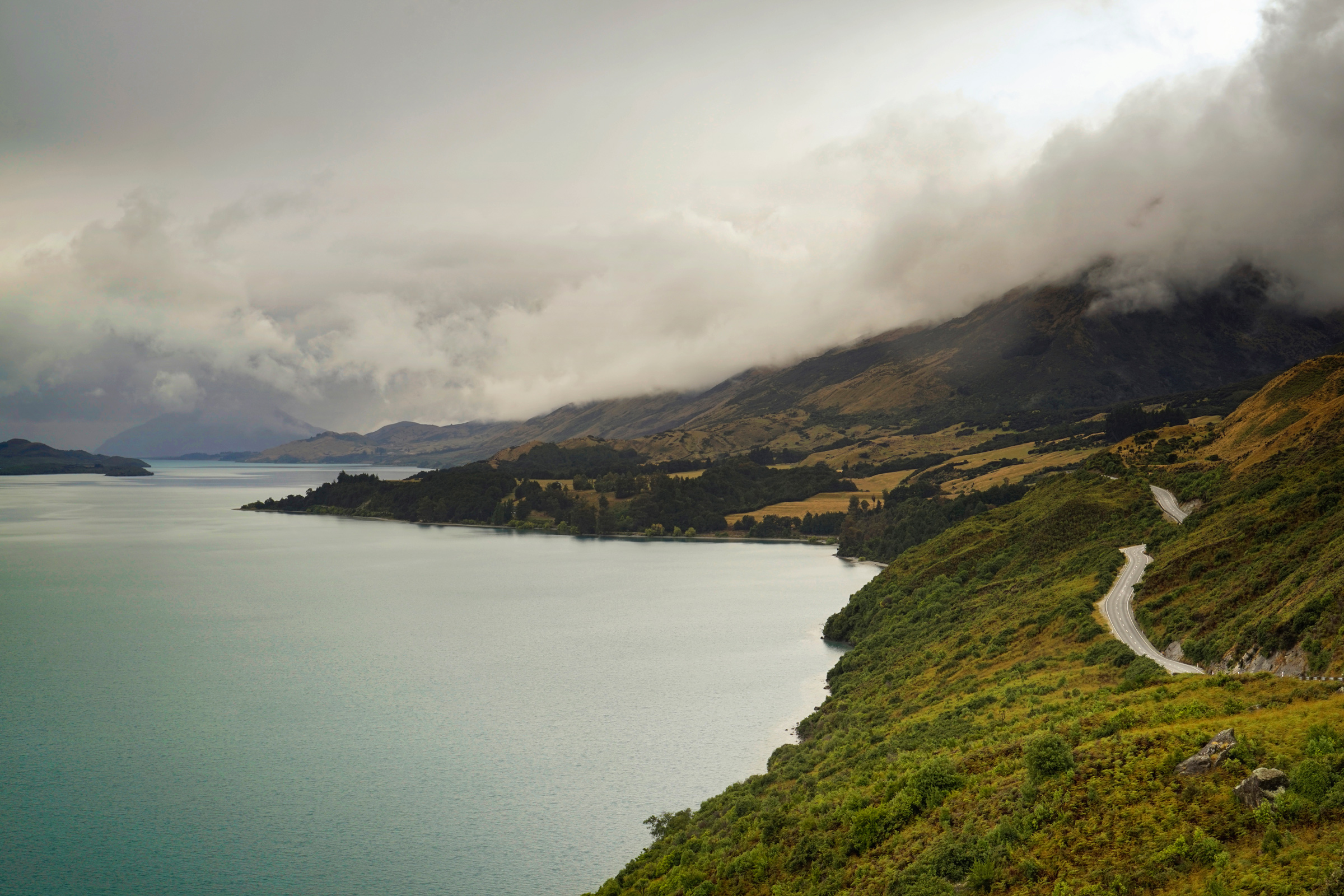
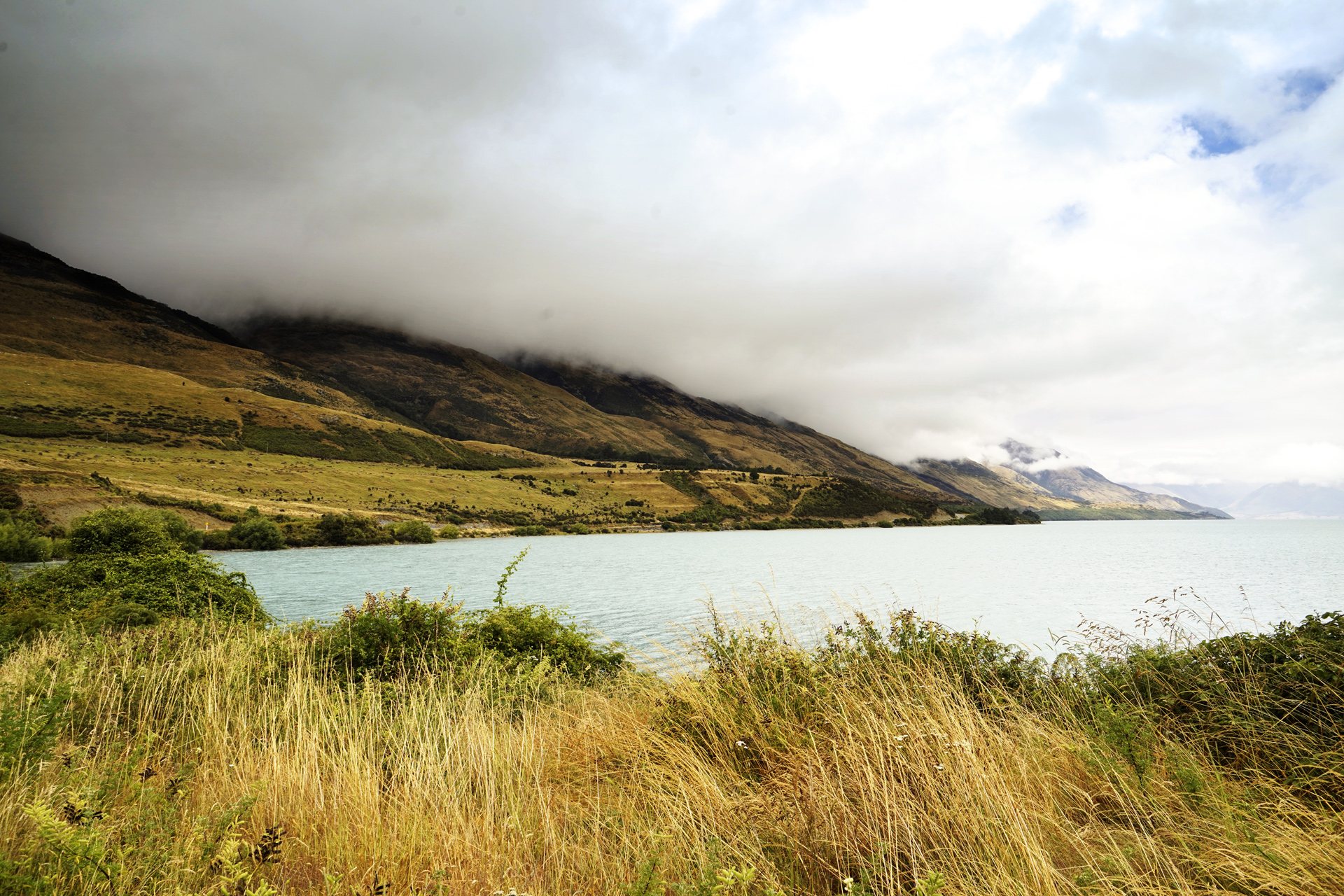
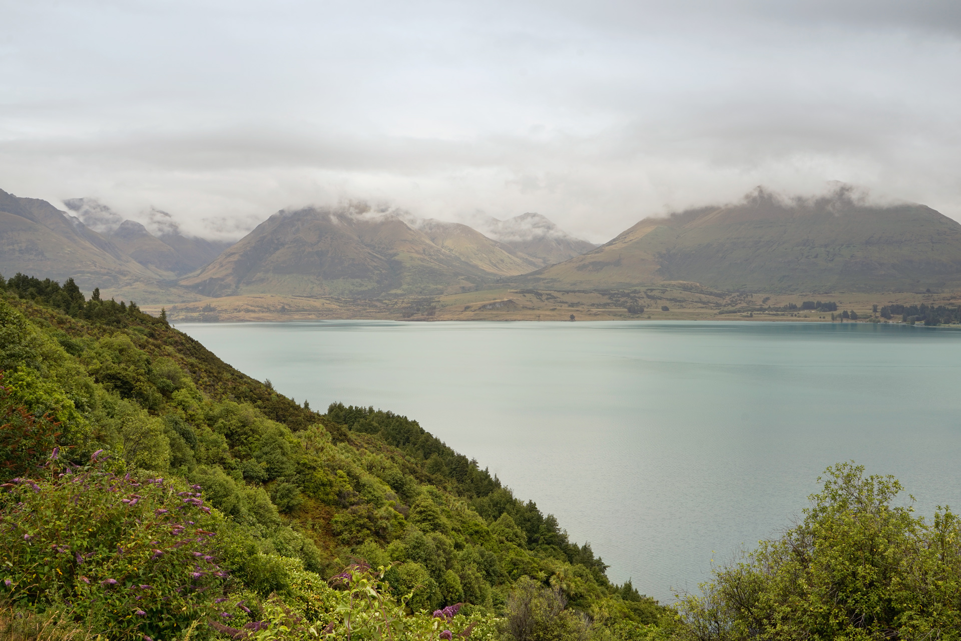
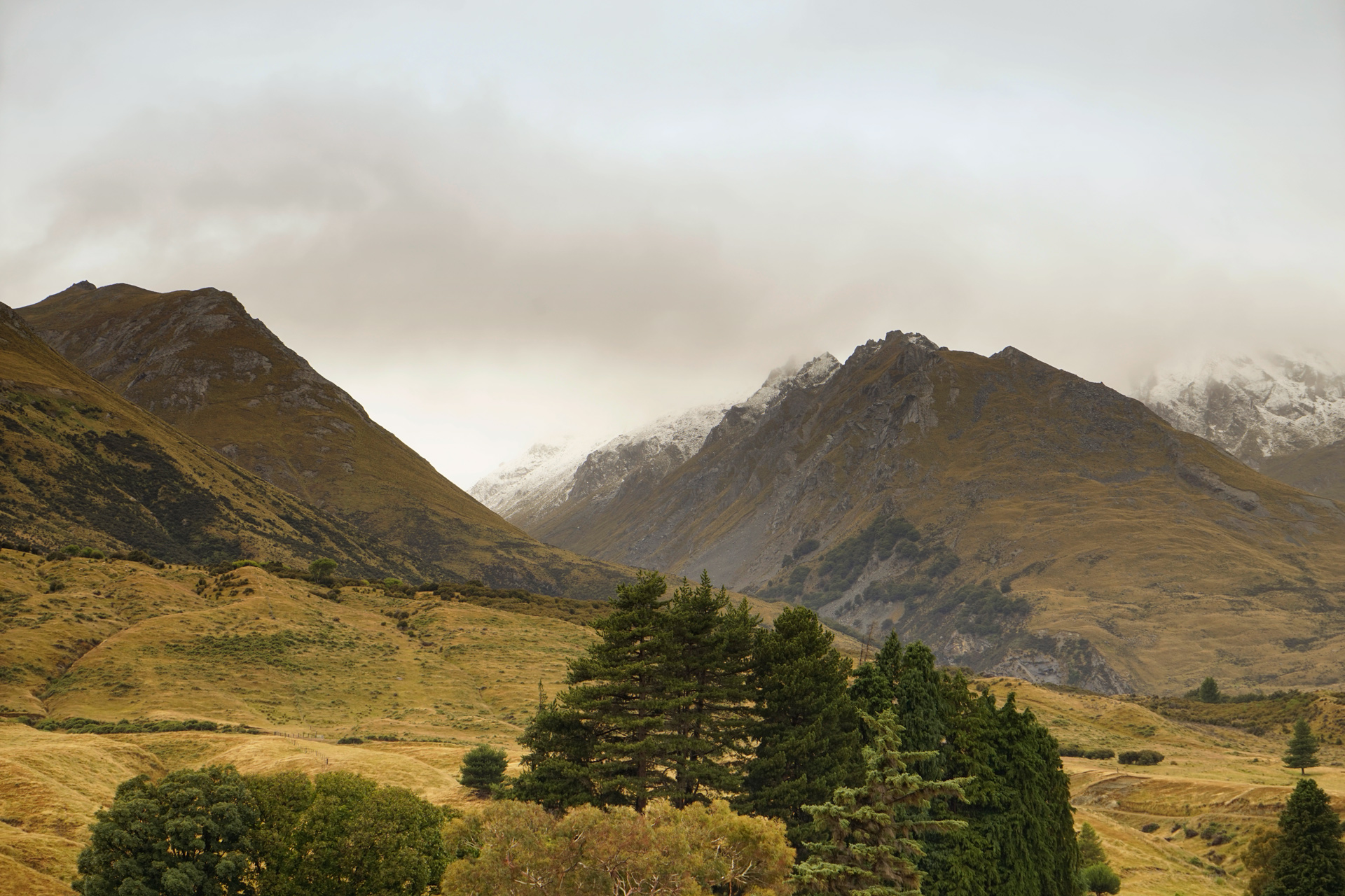
After hiking the Mt. Crichton Loop, I headed northwest from Queenstown toward Glenorchy.
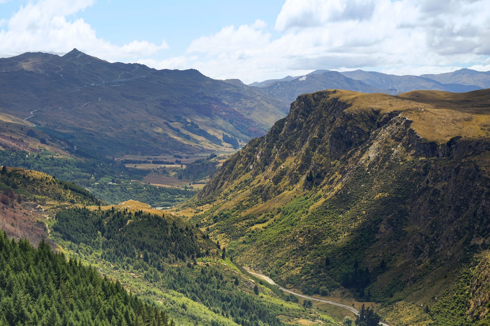
Along the way, there are some awe inspiring views across the northern arm of Lake Wakatipu and the mountains nearby.
Milford Sound
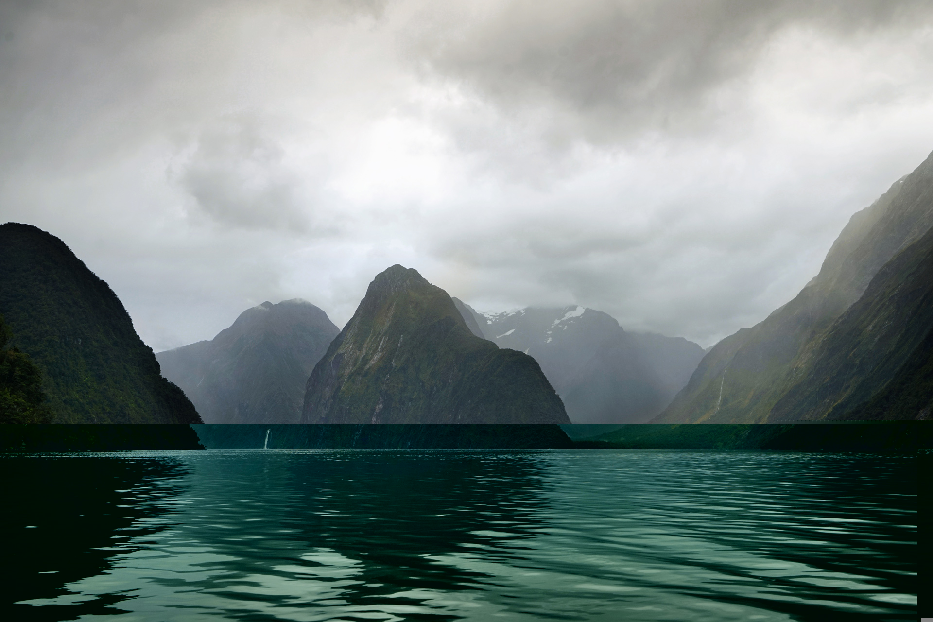
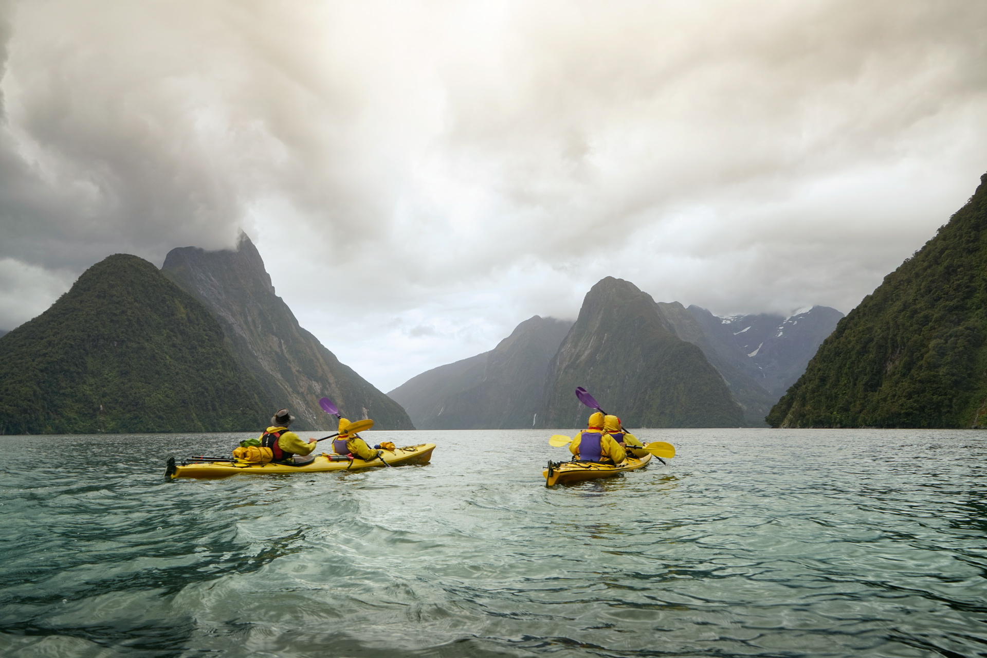
I had always wanted to kayak in Milford Sound.
From Queenstown, I could have a taken a small plane to Milford Sound, but because I also wanted to do a few hikes, I decided to rent a car and had to adjust to driving on the left side of the road.
The entire drive was scenic.
Heading south along Lake Wakatipu, it took considerable restraint to not pull over for pictures at every mile.
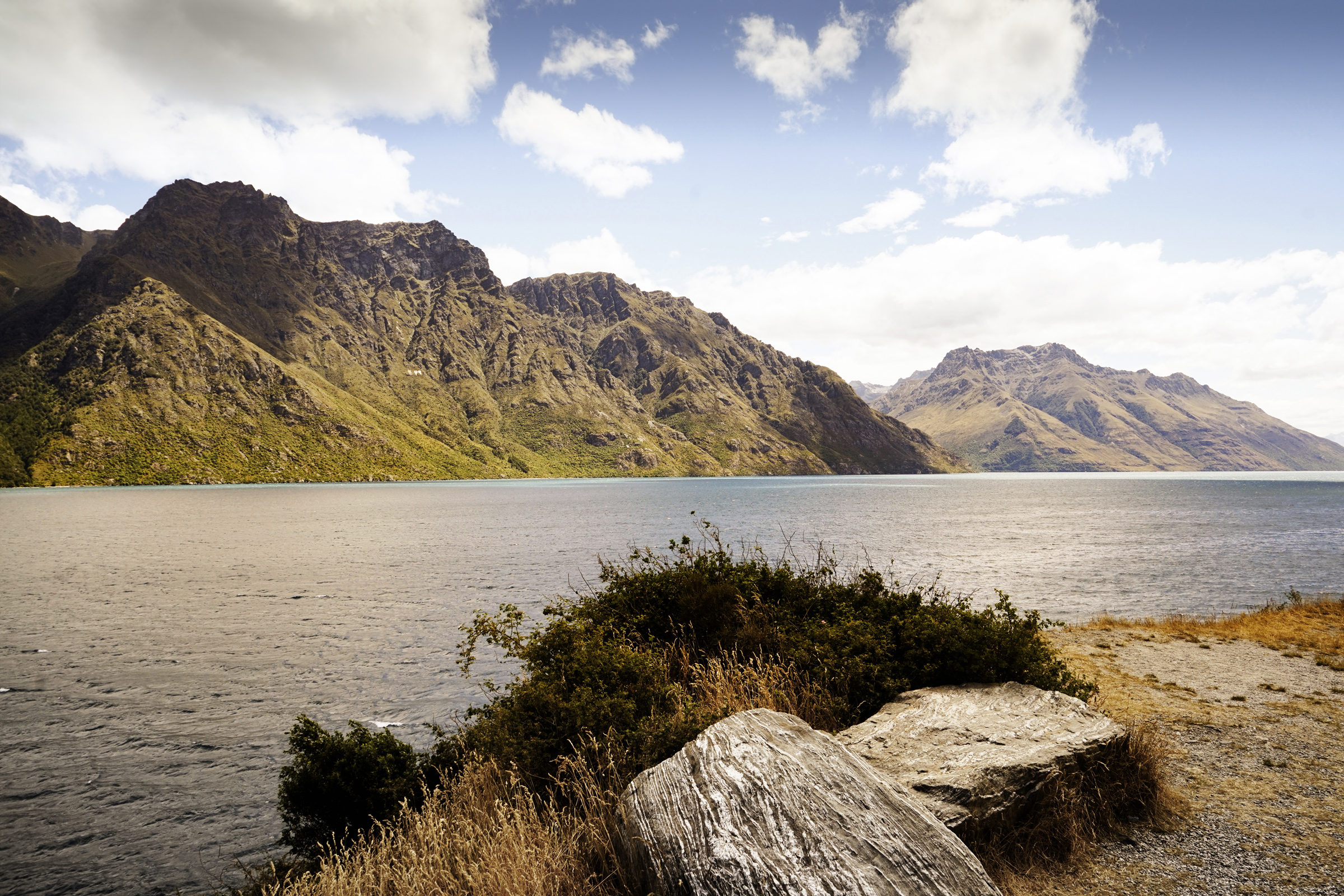
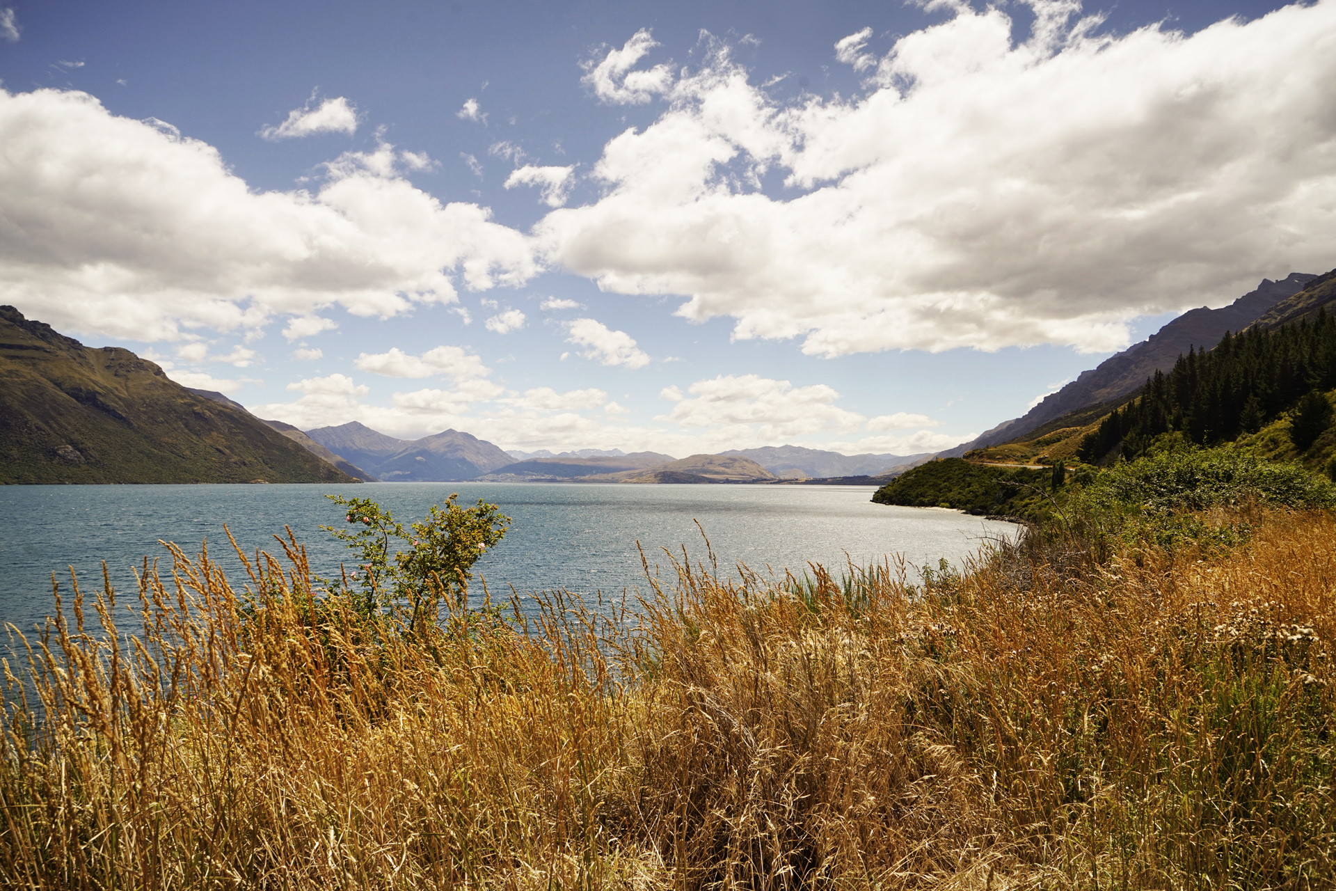
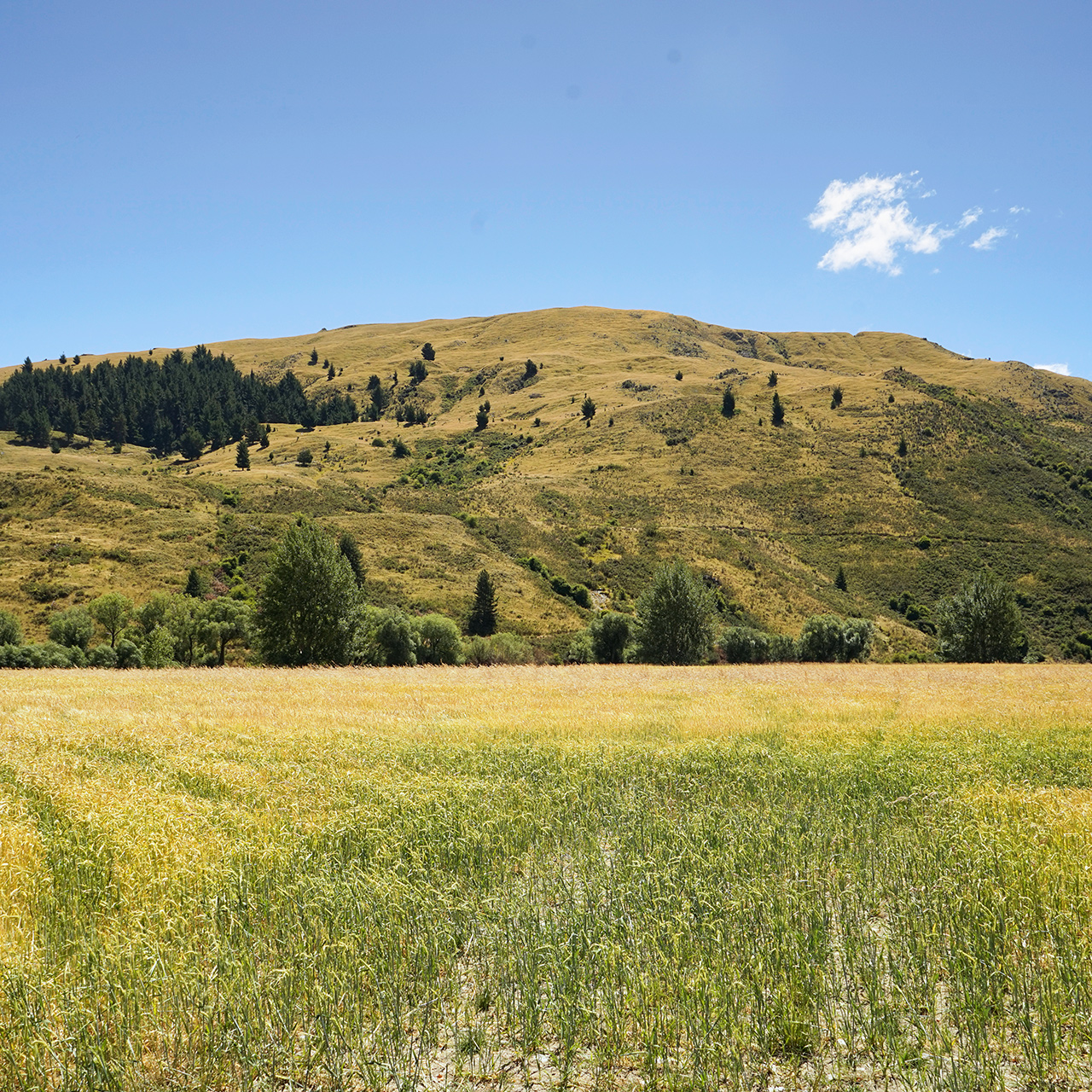
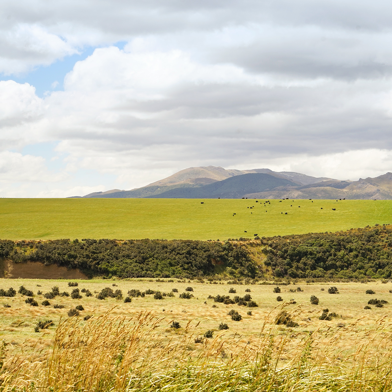
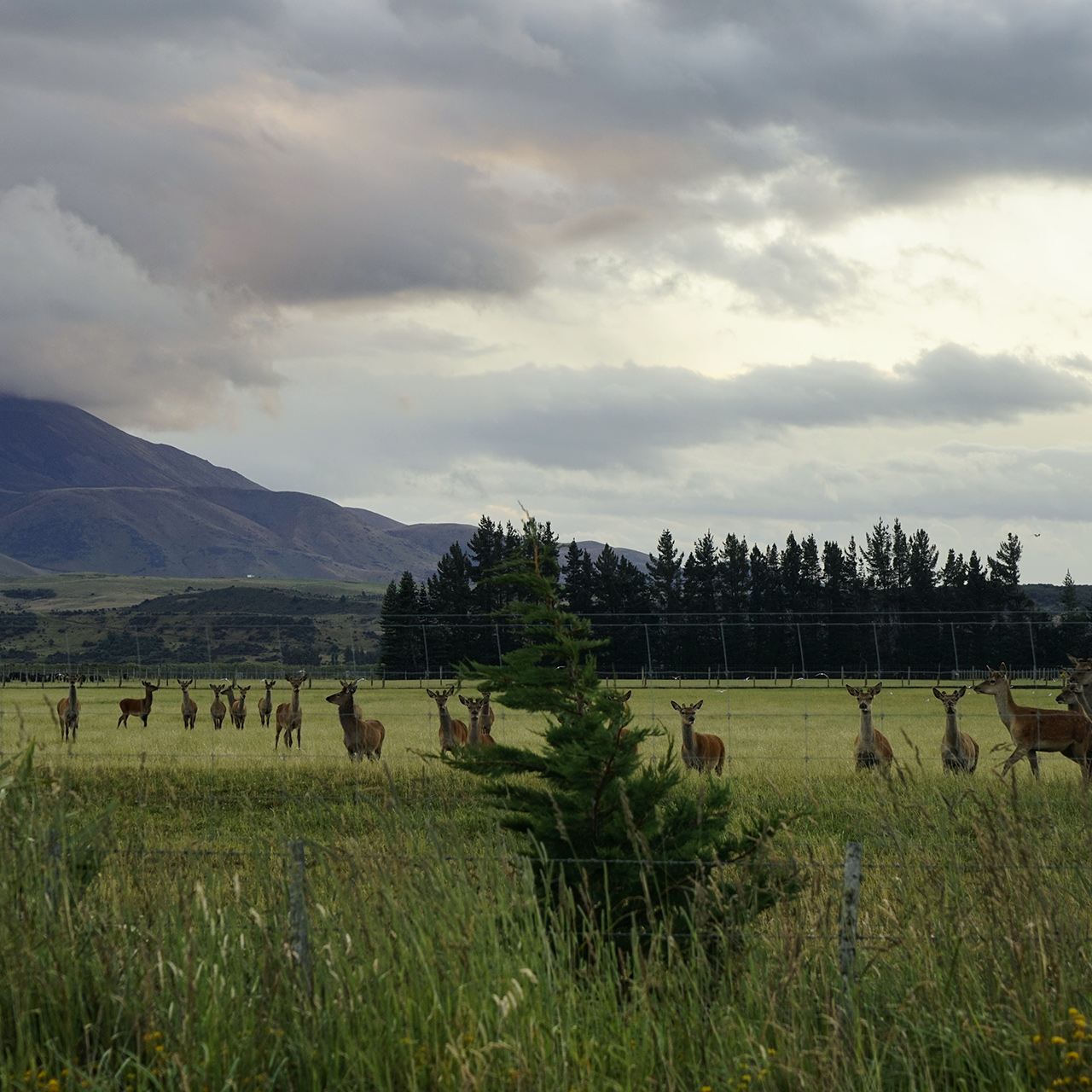
The valley between Kingston and Te Anau is dotted with farmlands, green pastures and lush hills.
Approaching Milford Sound, the landscape was more dramatic, and the weather turned suddenly from clear skies to dark clouds and heavy rain.
This was nice in its own way—the winding roads through the mountain passes were framed by steep cliffs and an infinite number of waterfalls.
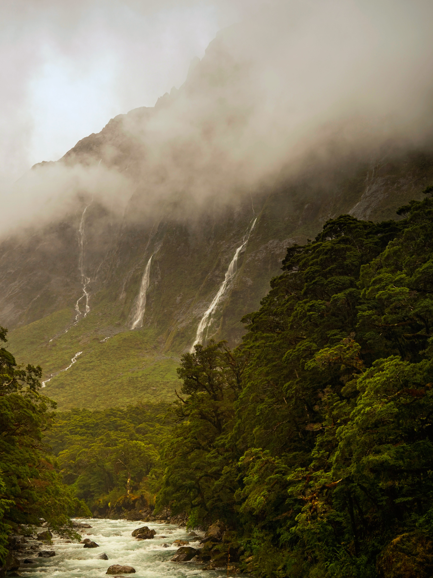
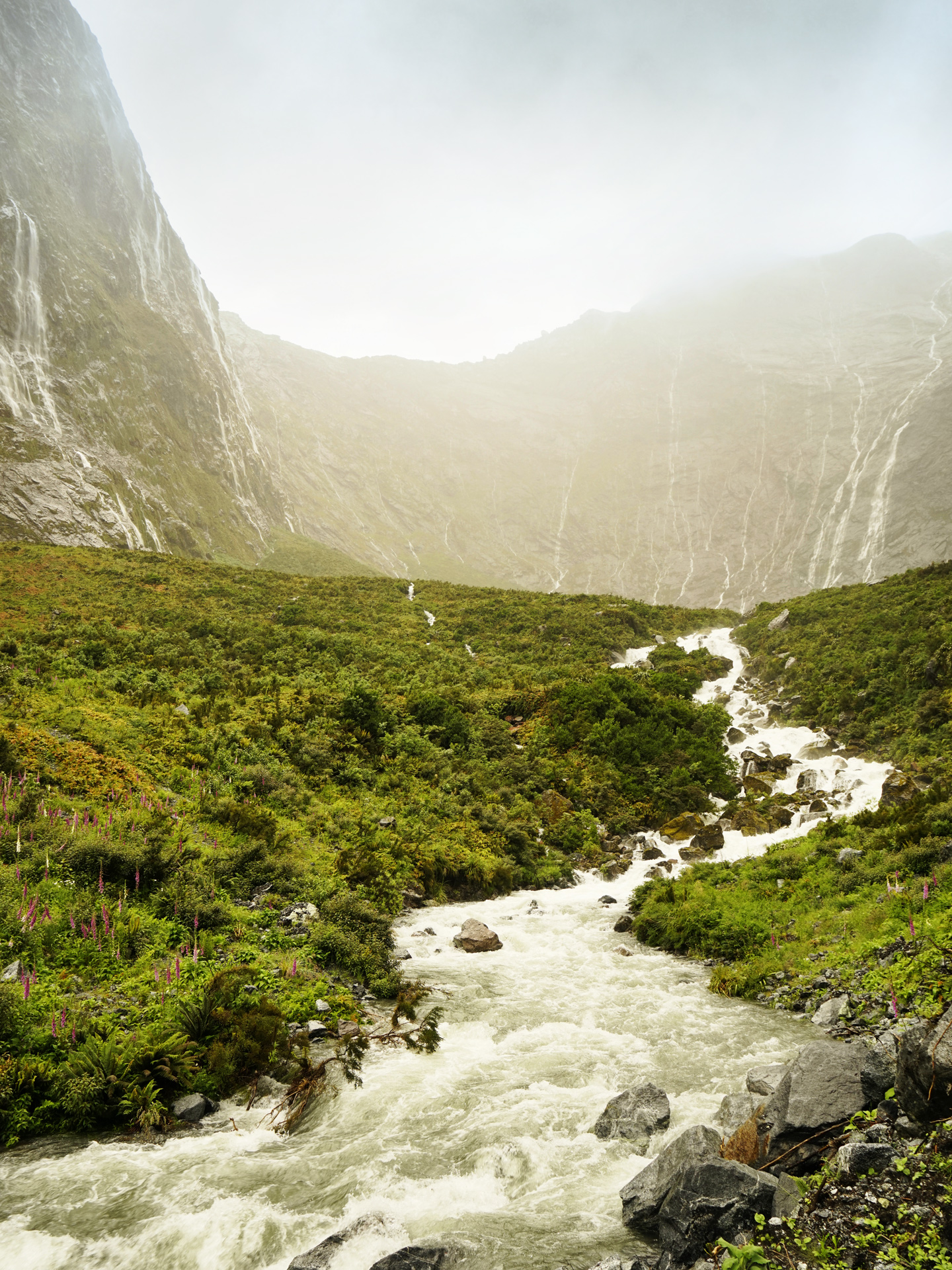
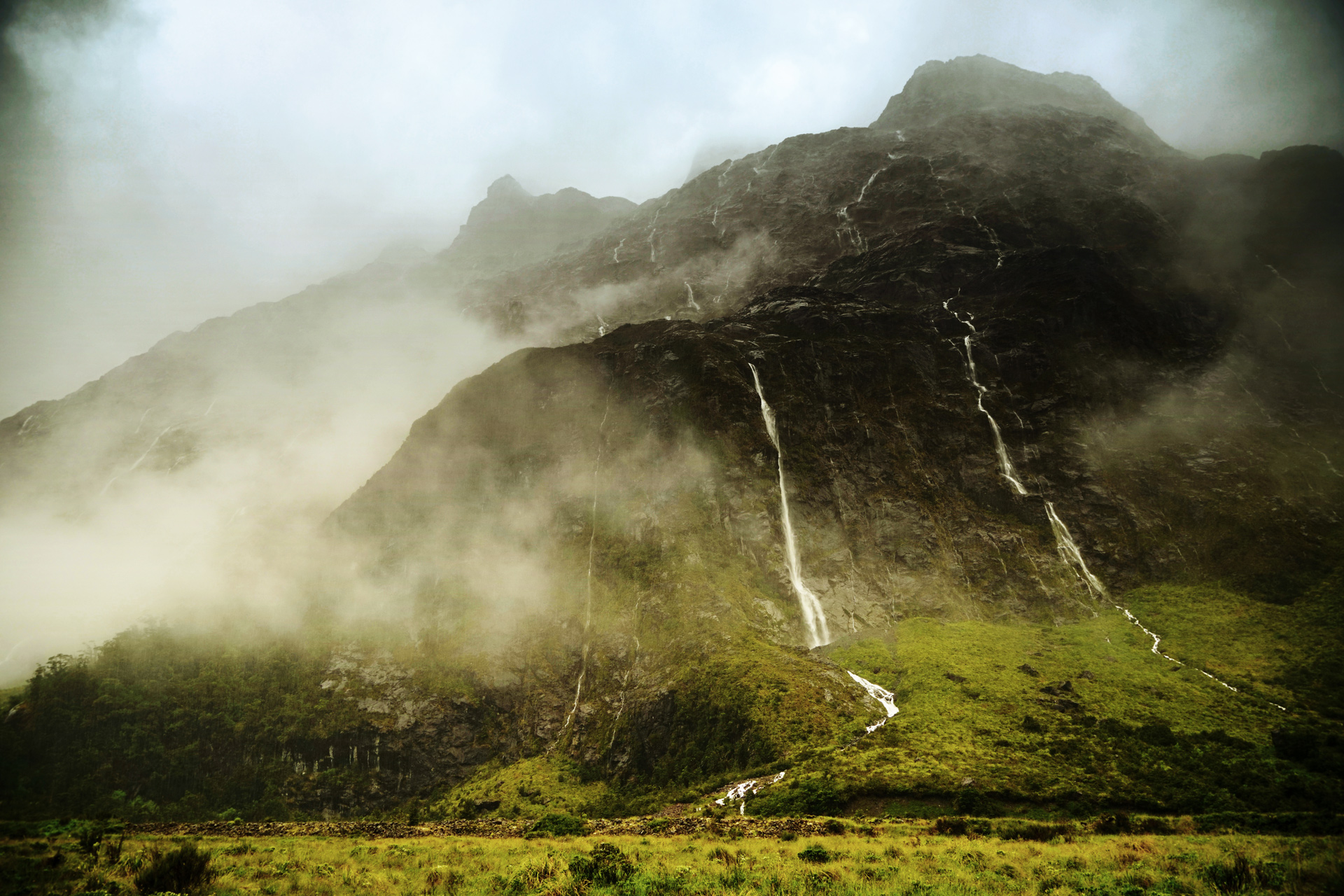
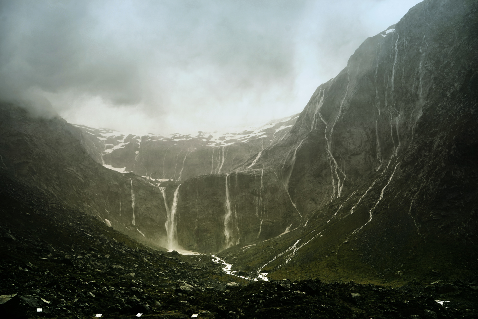
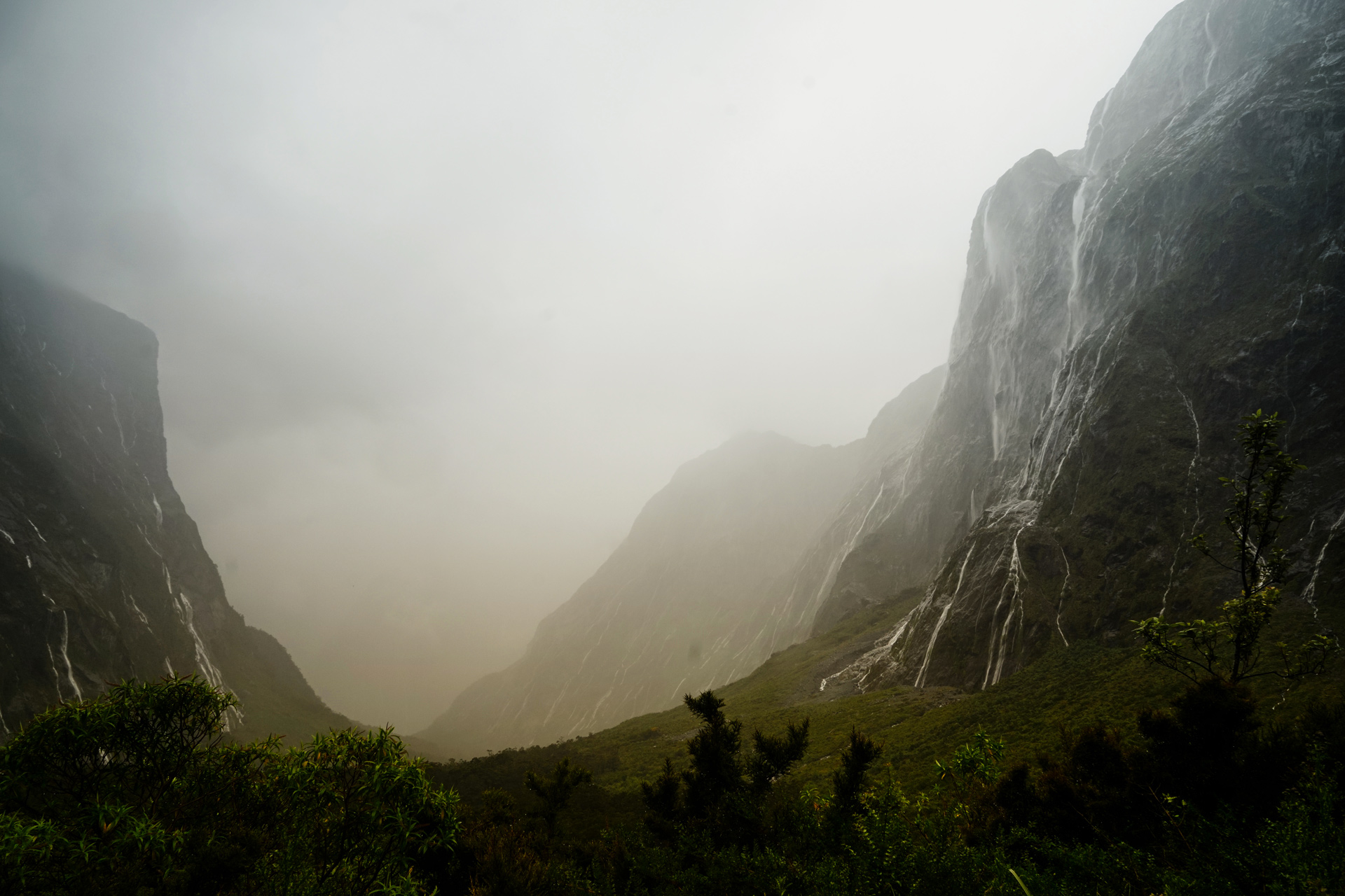
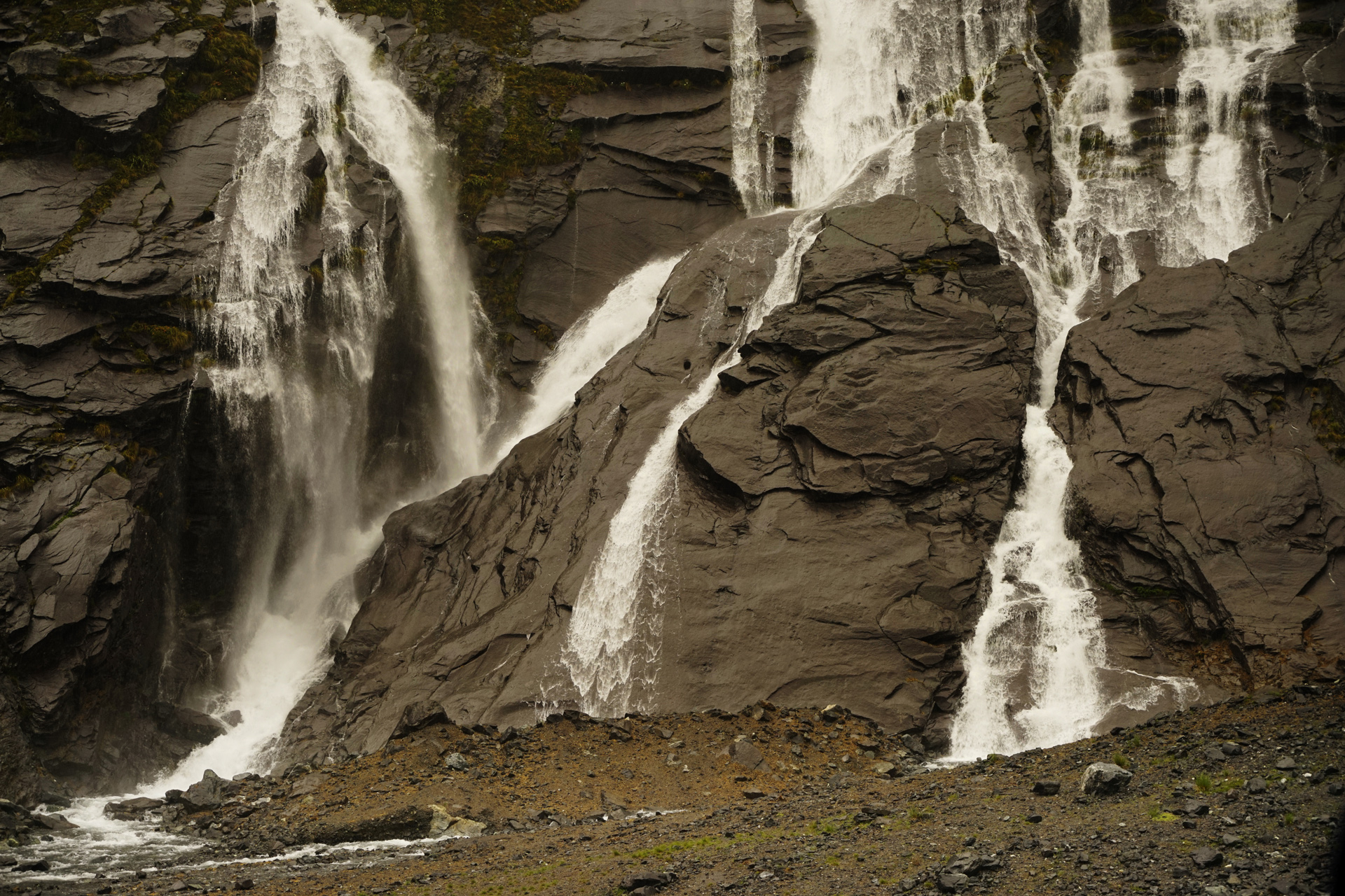
I had mentally prepared to hike in the cold rain, but the weather and poor visibility was too much to handle, and I decided to abort my plans to hike Key Summit and Lake Marian.
The next morning, the weather calmed down, and I joined a kayak tour.
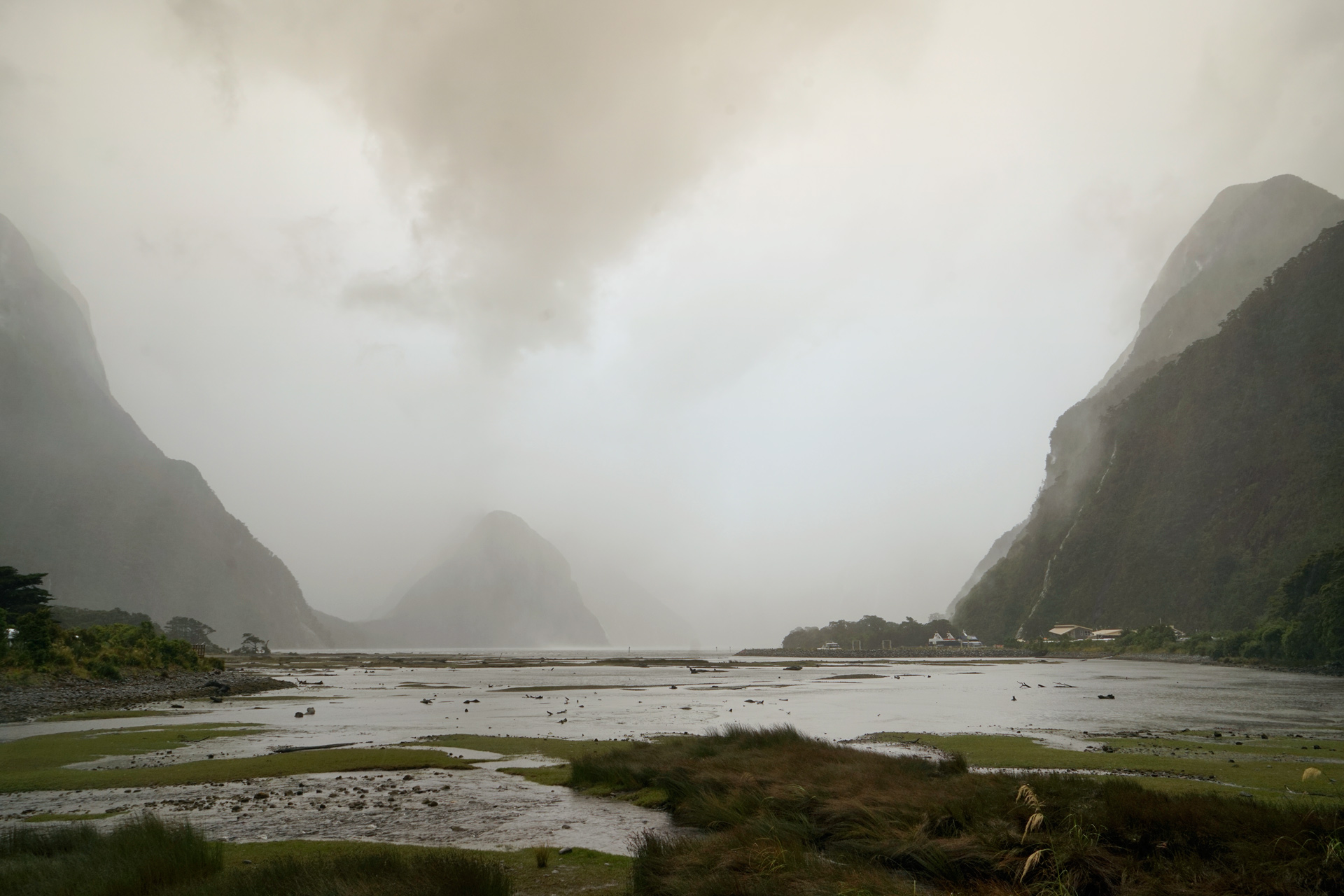
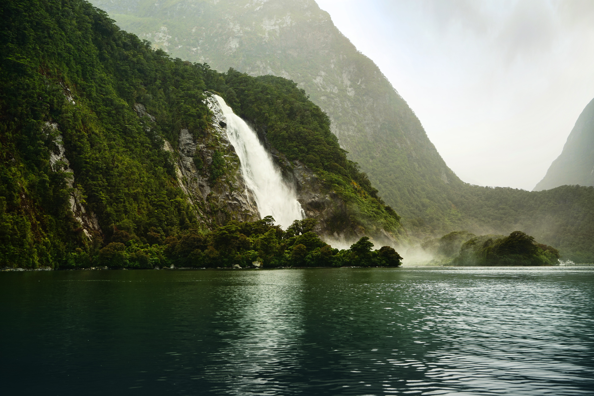
We started out in calm waters with no guarantee of how long the weather would cooperate.
However, another storm was brewing, and after taking a break at Harrison Cove, our guide was forced to call in a rescue boat for a ride back.
Directions
There are daily flights between Auckland and Queenstown. Scenic airplane tours run between Queenstown and Milford Sound, but it is worth driving instead.
1
Auckland Ferry Terminal: -36.842372, 174.767243
2
Queenstown Skyline Gondola: -45.028617, 168.656238
3
Milford Sound: -44.667563, 167.927350
More Stories


