Washington · February 2015 & January 2016
Hike Summary
Distance:
4 - 5 miles out and back
Total Elevation Gain:
1,000 ft
Starting Elevation:
4,300 ft
Highest Point:
5,220 ft
Hike Time:
3 - 4 hrs
Difficulty:
Moderate
Snowshoe Season:
December - April
Dogs:
Allowed on Leash
Mt. Baker is one of the snowiest places on earth, and in 1999, 1,140 inches of powder landed in the ski area, setting the world record for snowfall in a single season.
This is my favorite winter hike in Washington.
When visibility is good, the scenery is incredible, featuring open views of Mt. Shuksan, Table Mountain, Mt. Baker, and much of the North Cascades Range.
The hike starts off at the end of the highway road closure just southwest of the Heather Meadows day lodge, just past the black-diamond lift.
Following the roped western boundary of the ski area, the groomed areas will be to your left, and Bagley Creek will be below you on your right.

Bagley Creek
This area is known for avalanche risk, so avoid hiking immediately next to the steepest exposed hills.
Staying just to the right of the roped ski area, the trail climbs consistently and steadily past some cabins and over a few hills.
At this stage in the hike, it is uphill all the way.
There is not much up and down action here.


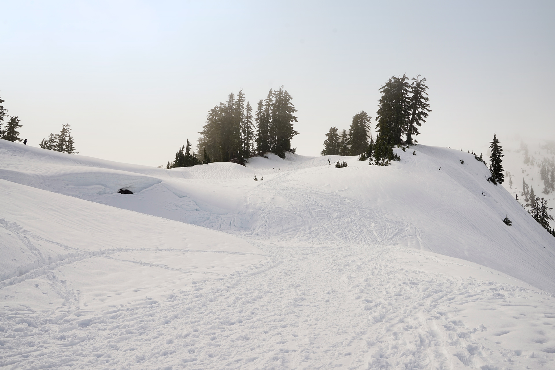
The upper sections of the ski boundary, following the rope
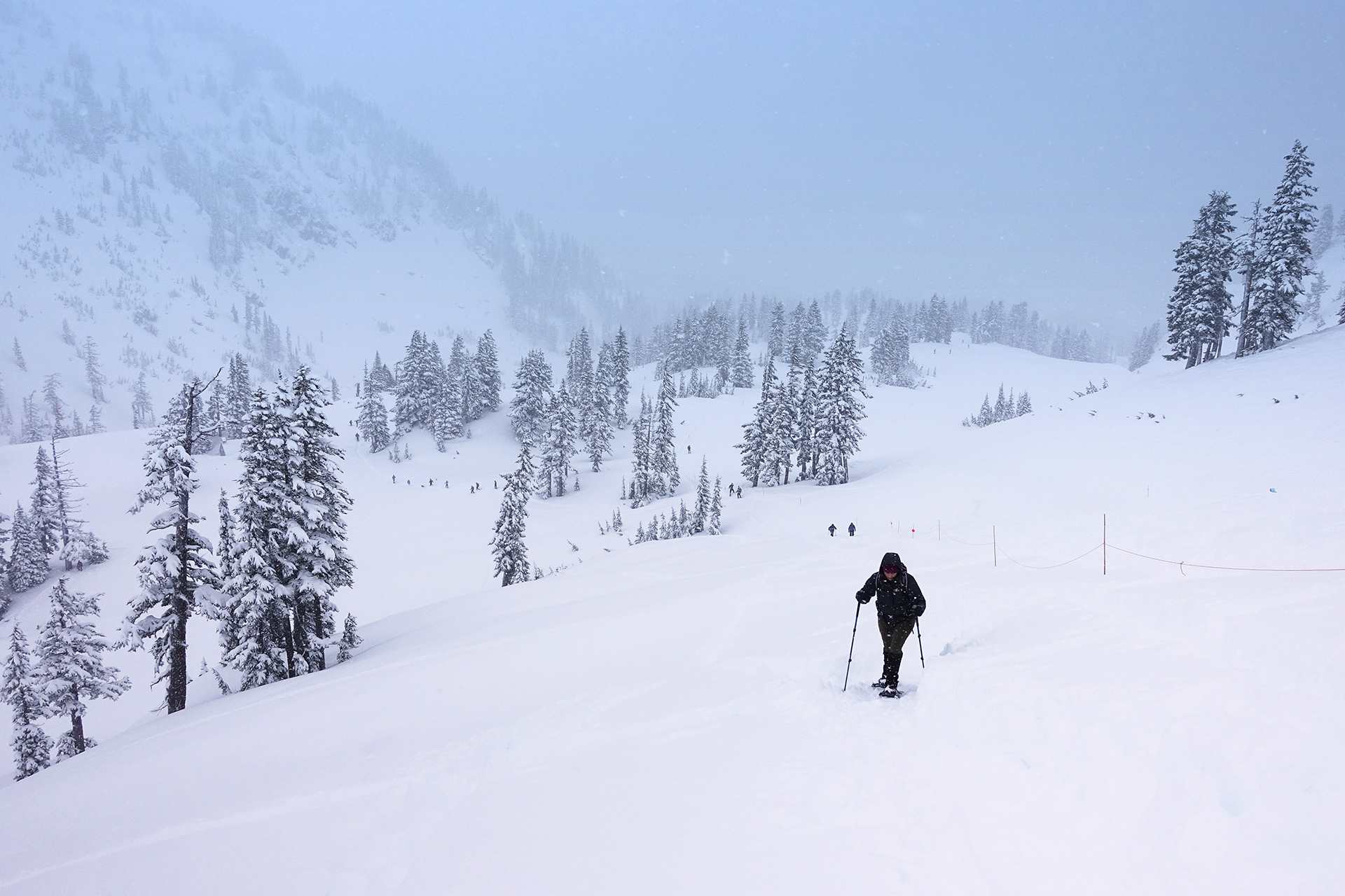

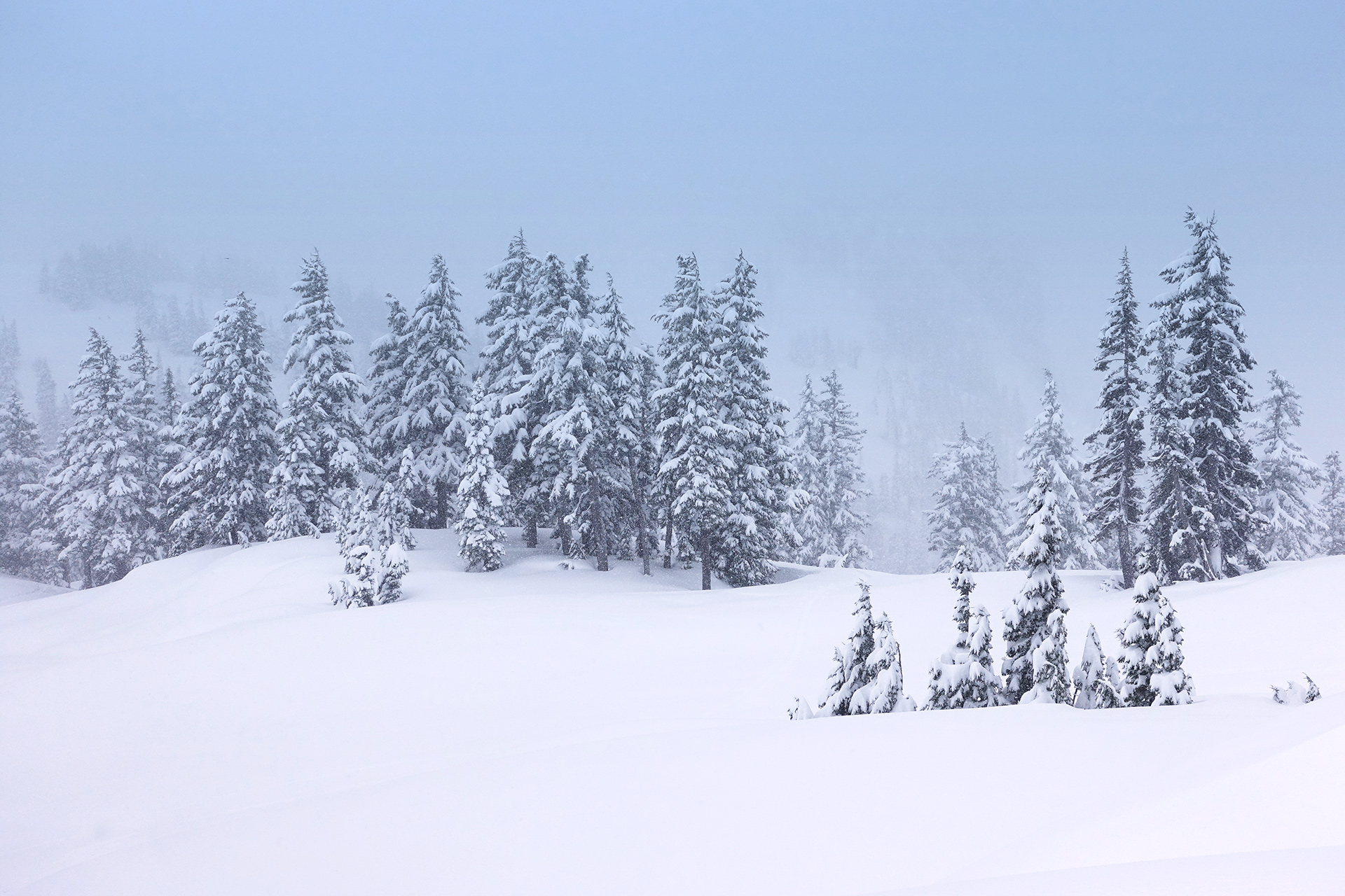
The ski boundary area in snowier conditions
Going past the back side of the ski area, the trail levels out, and the road will be easily discernible again.
At this section, the Mt. Baker Highway makes a gentle arc around a lower section of Table Mountain, which is the steep area to your right.
Some great views are coming shortly.

Follow the level arc around the bend
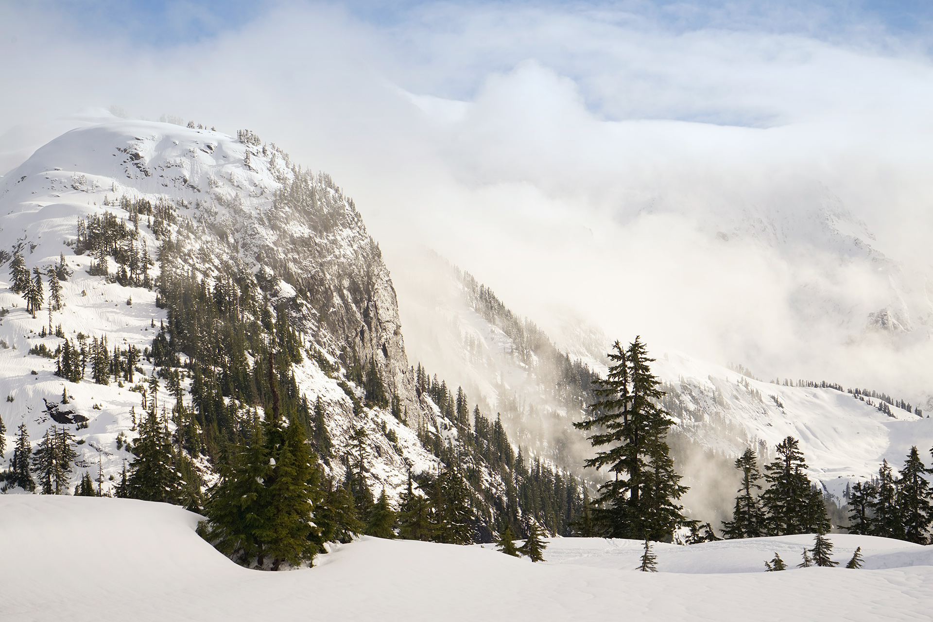
The back side of the ski area, with Mt. Shuksan in the clouds
After completing the arc, the steep hill to the south is the Kulshan Ridge.
Instead of climbing it head-on, you will be heading west up a softer approach to Artist Point.
Looking to the east before the final climb, you should be able to see Mt. Shuksan popping out to the left of the Kulshan Ridge.

Mt. Shuksan, with Kulshan Ridge to the right
The snow can be very deep at the top of the hill, and there is an restroom which may be completely buried.
The top of Table Mountain will be visible to the west.
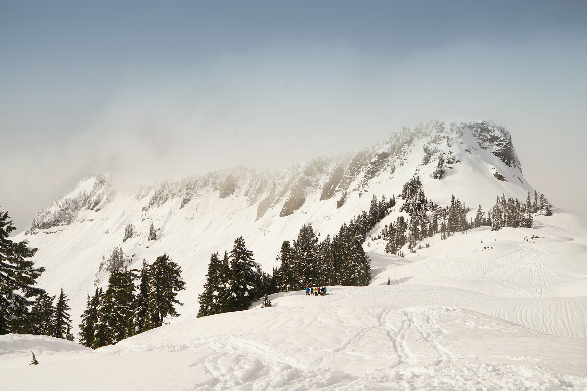
Table Mountain from Artist Point
The weather can change quickly here, and if you're fortunate, clouds may burn off to reveal Mt. Baker.
Heading along the Kulshan Ridge towards Huntoon Point to the east, you can get more open views of Mt. Baker and the North Cascades Range.

Mt. Baker from Artist Point
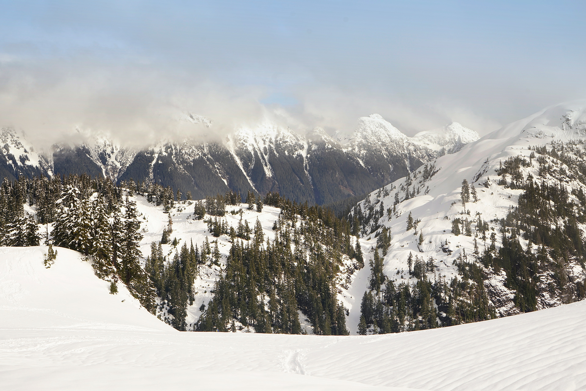

Mt. Shuksan from the Kulshan Ridge
Directions
The Mt. Baker Ski Area is located in the North Cascades, and the nearest sizable town is Bellingham, Washington, 54 miles to the west. Depending on the weather, the upper areas of Mt. Baker Highway (WA Hwy 542) may require a 4-wheel drive vehicle or snow chains.
1
Trailhead: 48.861288, -121.681910
2
Artist Point: 48.846181, -121.692327
More Stories


