Washington · February 2015
Hike Summary
Distance:
3 miles out and back
Total Elevation Gain:
900 ft
Starting Elevation:
5,400 ft
Highest Point:
6,300 ft
Hike Time:
3 hrs
Difficulty:
Moderate
Snowshoe Season:
December - March
Dogs:
Not Allowed
Pass Required:
There is no better introduction to snowshoeing at Mt. Rainier than the Glacier Vista Trail.
This hike features spectacular views of Mt. Rainier's south face, the Nisqually Glacier, and the Tatoosh Range.
It is a well-traveled path that is easy to follow when visibility is good, and at only three miles round-trip and less than a thousand feet of vertical gain, the reward to effort ratio is very high.
The path to Glacier Vista starts by following the Skyline Trail north from the Paradise Visitor Center parking lot.
One quarter of a mile in, the trail splits, and you can either continue northwest into the trees or follow the Waterfall trail west to the treeline that marks the edge of the Nisqually Glacier.
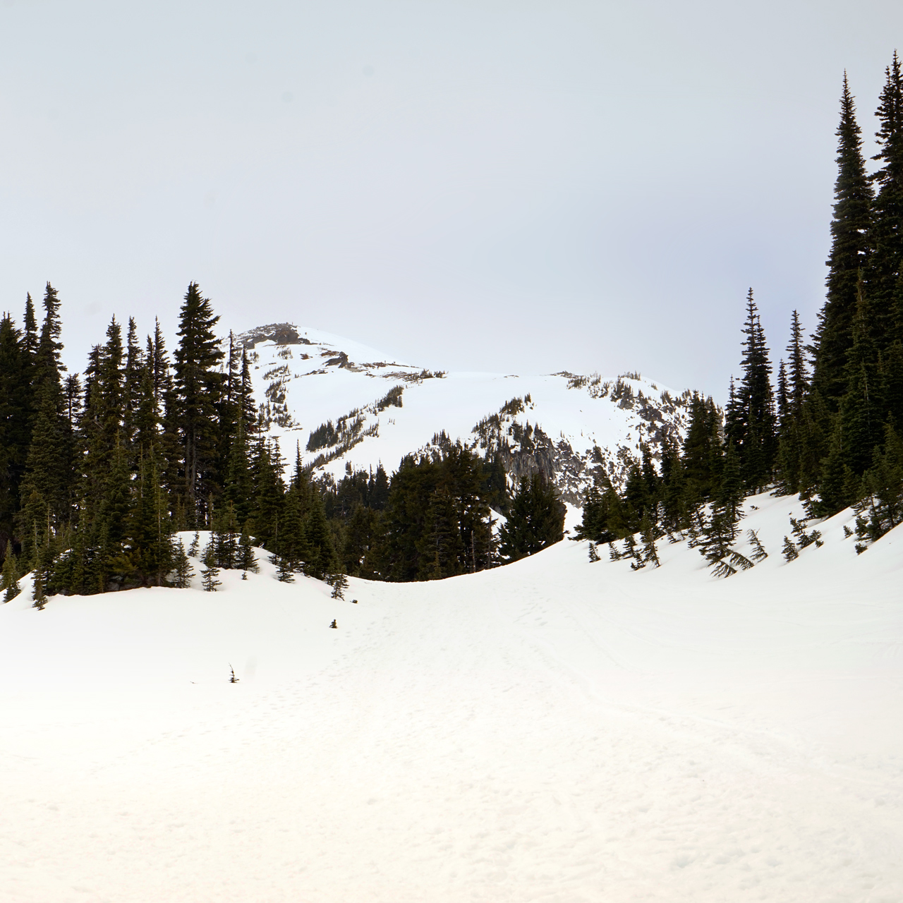
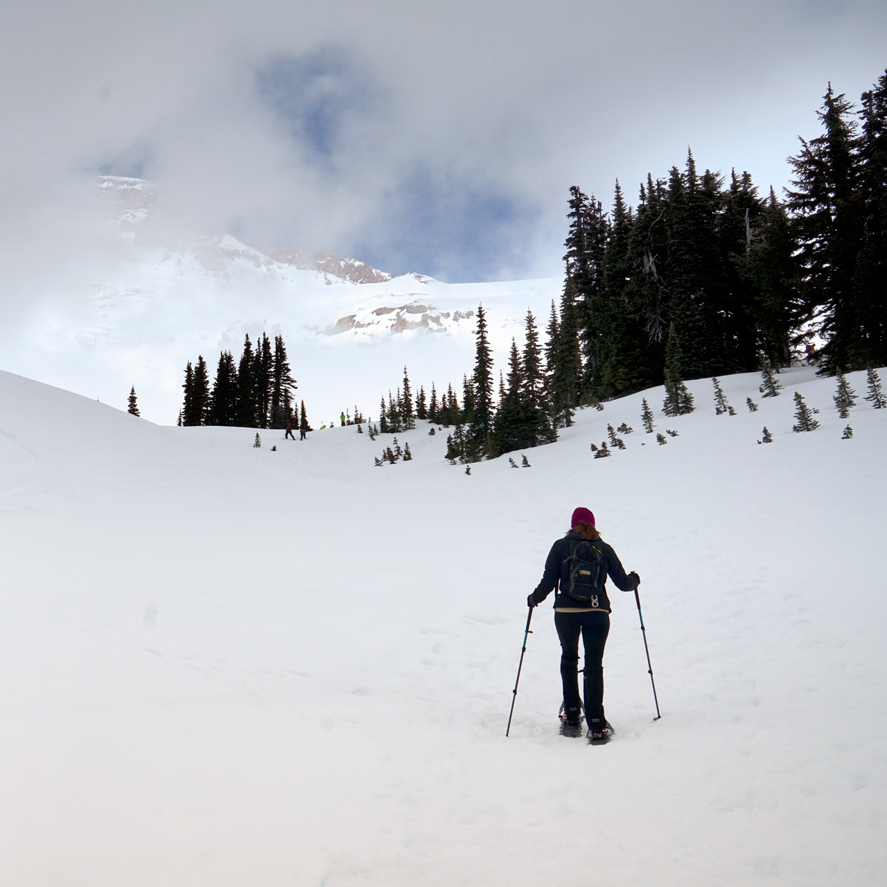
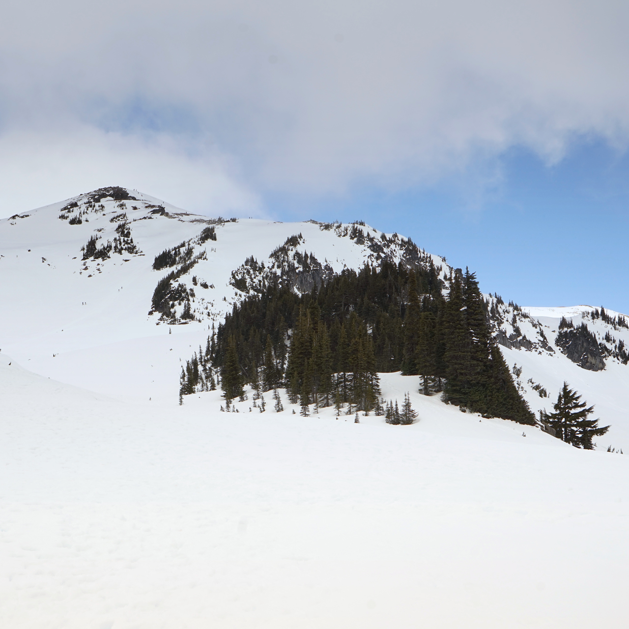

Both of these routes converge about a mile north, where there are wide-open views of Mt. Rainier north of you.
Glacier Vista is on a high hump of snow just ahead, before the Skyline Trail starts to verge east to Panorama Point.


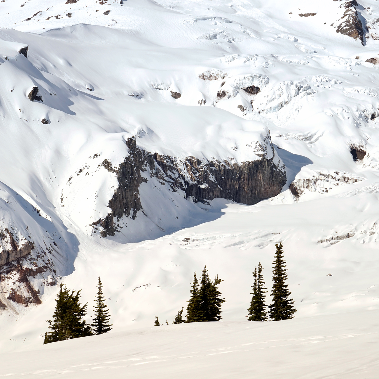
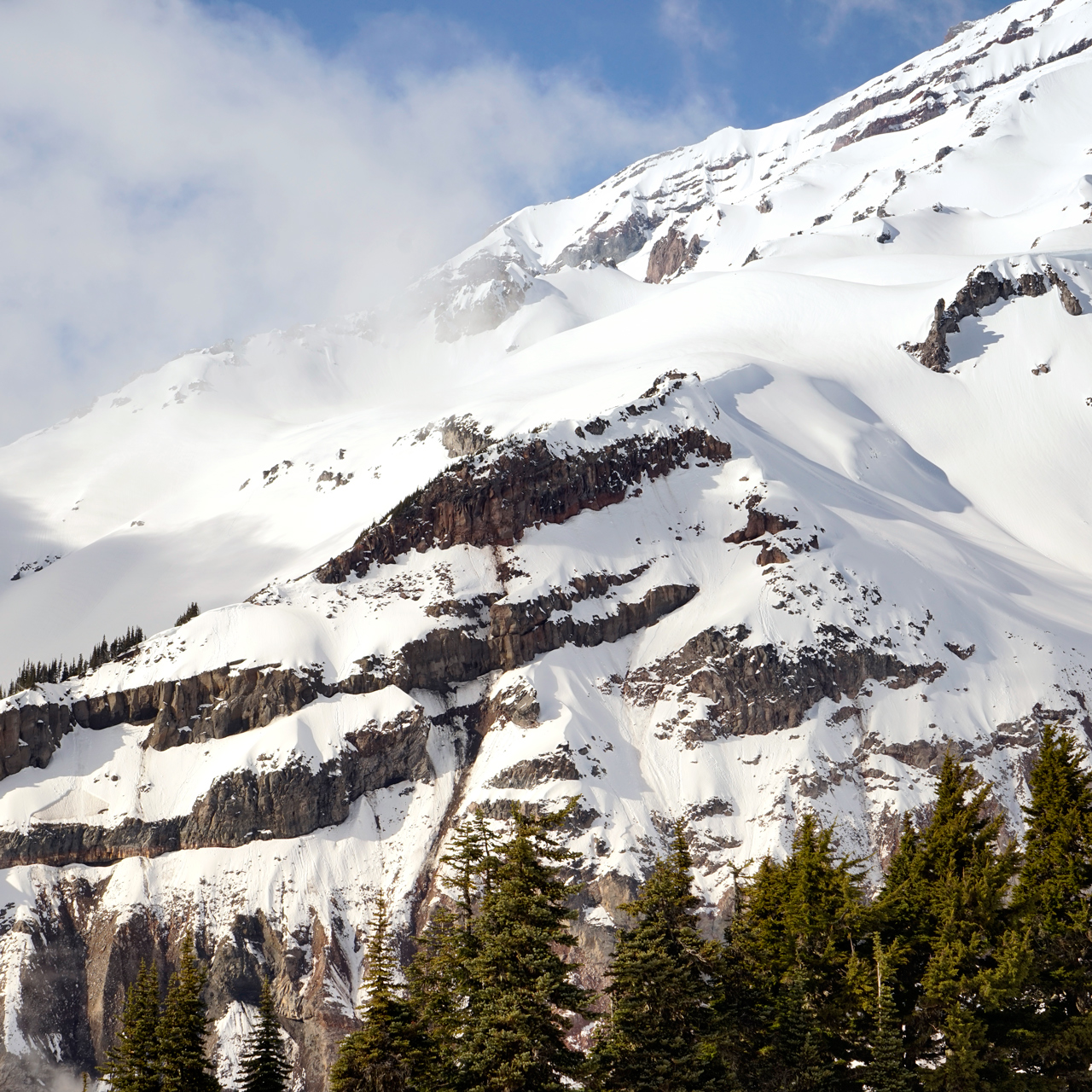
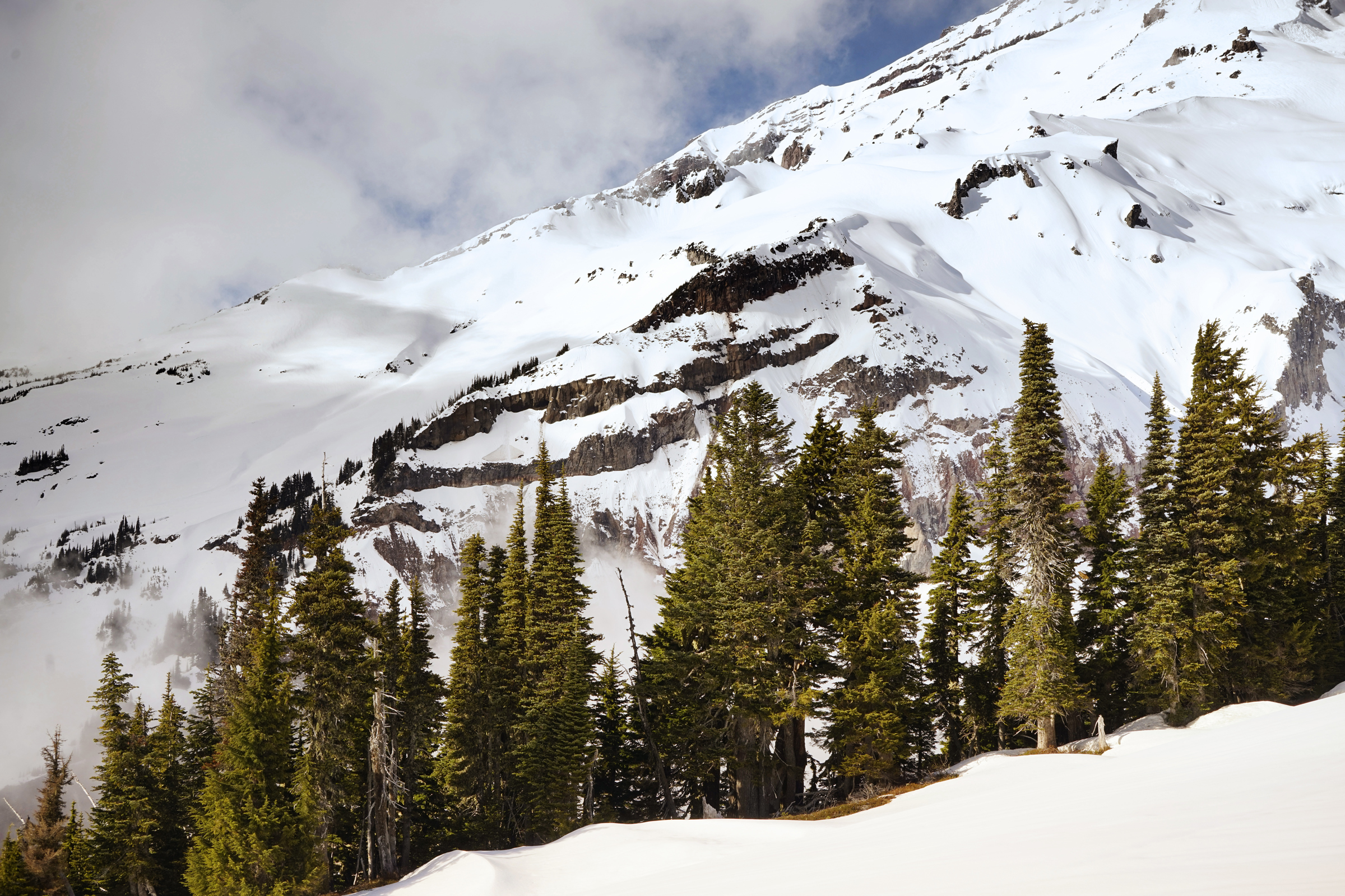
Mt Rainier, looking toward the Nisqually Glacier
You can return to the Visitor Center the same way you came up, or if you're feeling the need for something more strenous, follow the route to Panorama Point. Even if you take the easy route back, you be feasting your eyes on the Tatoosh Range to the south.
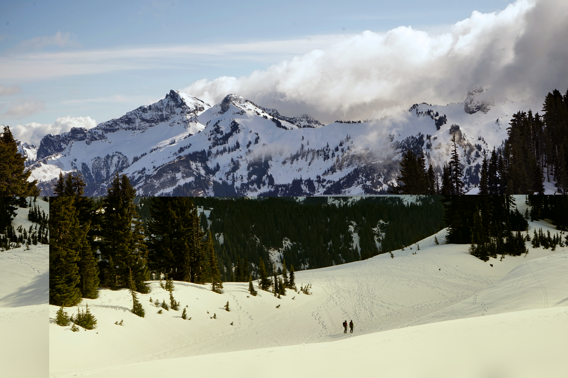
The Tatoosh Range, south of Paradise and the Mazama Ridge
Directions
Park at the Paradise Visitor Center. Start by walking north on the Skyline Trailhead between the Henry M. Jackson Visitor Center and the Climbing Information Center.
1
Skyline Trailhead: 46.786155, -121.735948
2
Glacier Vista: 46.801541, -121.734644
More Stories


