Washington · June 2016
Hike Summary
Distance:
5 miles out and back
Total Elevation Gain:
1,100 ft
Starting Elevation:
5,407 ft
Highest Point:
6,254 ft
Hike Time:
3 - 3.5 hrs
Difficulty:
Moderate
Season:
June - October
Dogs:
Not Allowed
Pass Required:
The North Cascades National Park has some of the most incredible mountain scenery in the Pacific Northwest.
Located within 3 hours drive of Seattle, there are numerous options for day hikes here.
Blue Lake is a great choice if you are short on time but looking for a nice alpine lake destination set against a dramastic mountain cirque.
Its trailhead is located directly adjacent to the North Cascades highway, and a roundtrip hike requires only 5 miles of walking and 1,100 feet of elevation gain.
I had been to Blue Lake 2 years ago during the Independence Day weekend, after I had done a harder, longer hike earlier in the day.
The trail was easy to follow and mostly cleared of snow and debris.
On my second trip this June, there was a significant amount of snowpack remaining and over a dozen downed trees to hop over on the way to the lake.
At times, the trail was very difficult to discern—my tracks were often the only ones on the trail.
I would have turned around much sooner if I did not have a GPS to help out.
Despite the added difficulty, it was amazing to see fresh snow and a beautiful frozen lake so late in June.
Starting next to the restroom at the parking lot, the trail goes into the woods for about 1/3 mile, and you will be looking for a few wooden boardwalks taking you over the muddiest areas.
On this first section, you will be staying north of the small creek and parallel to the road before the first major switchback.
After 1 mile, you will reach a small clearing for the first views looking northwest at Whistler Mountain and Cutthroat Peak before popping into the woods again.
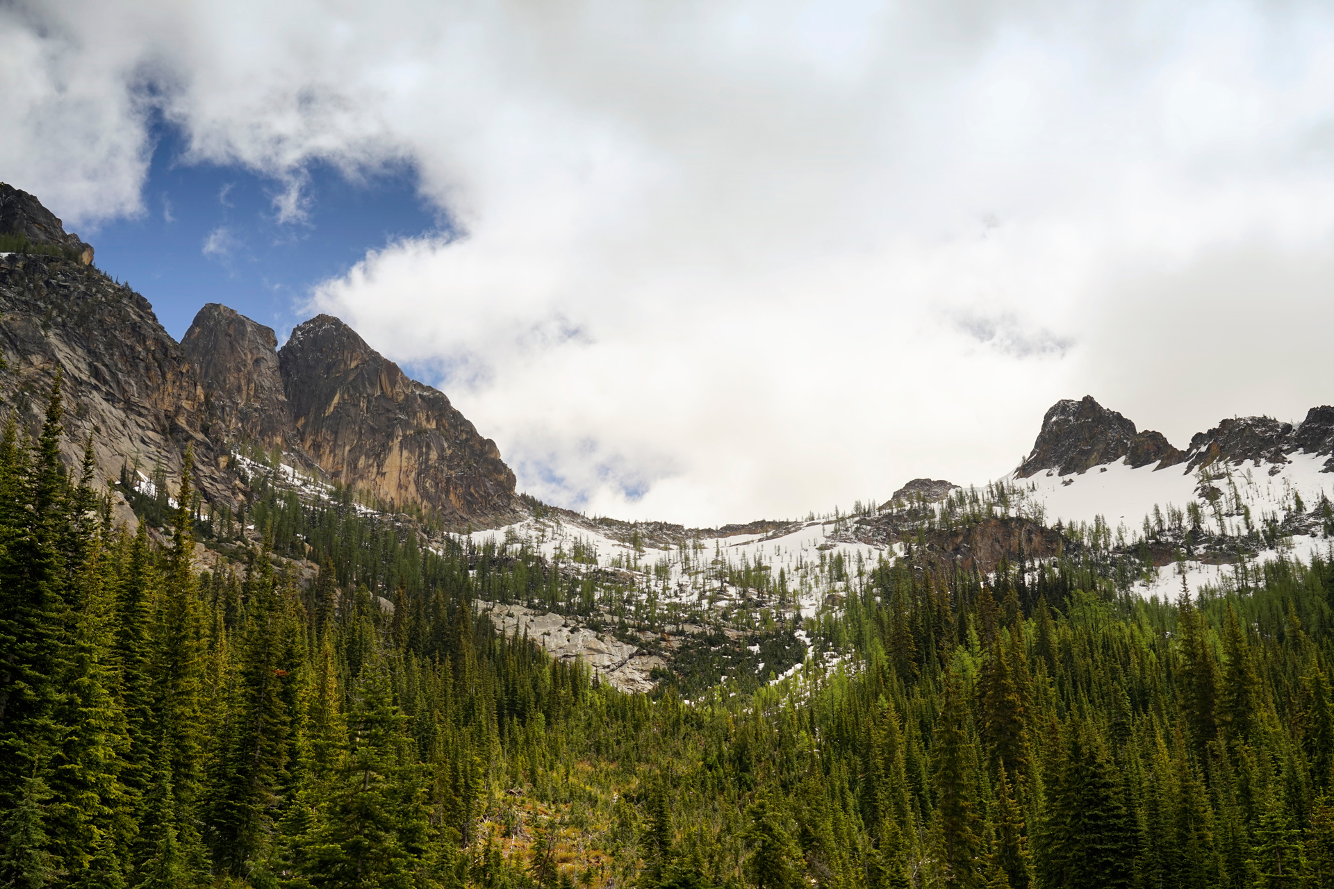
Looking back at Early Winter Spires from the first clearing
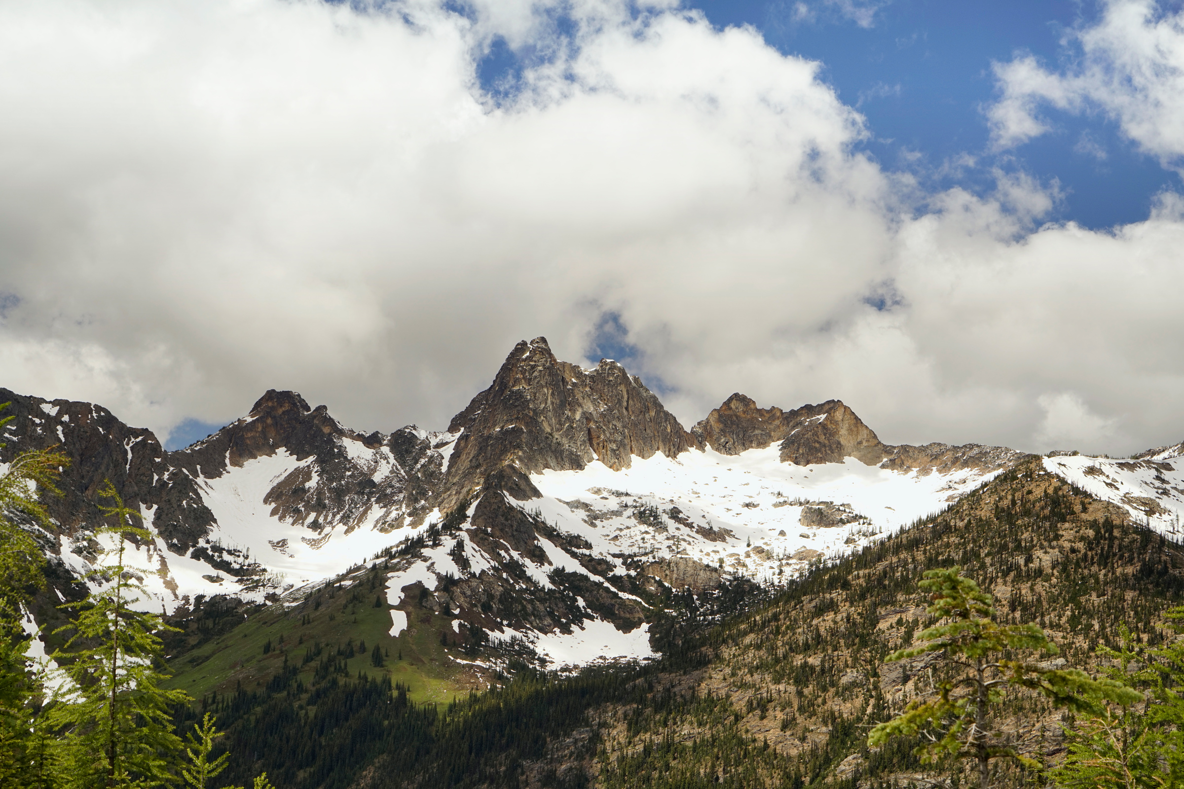
Whistler Mountain and Cutthroat Peak across the valley
At 1.8 miles, you will reach a larger clearing, and the trail splits.
Climbers looking to summit Liberty Bell Mountain will turn east.
To reach Blue Lake, continue west for 3/4 mile, where you will find even better views across the road.
Due to the slope, the trail may be tricky to navigate in snow, but the key is to remember that there is only minor elevation gain on this section before heading up to the lake.
Once you hear the creek ahead, you are getting close to your destination.
Follow it up to Blue Lake, staying northeast of it until you get to the top.
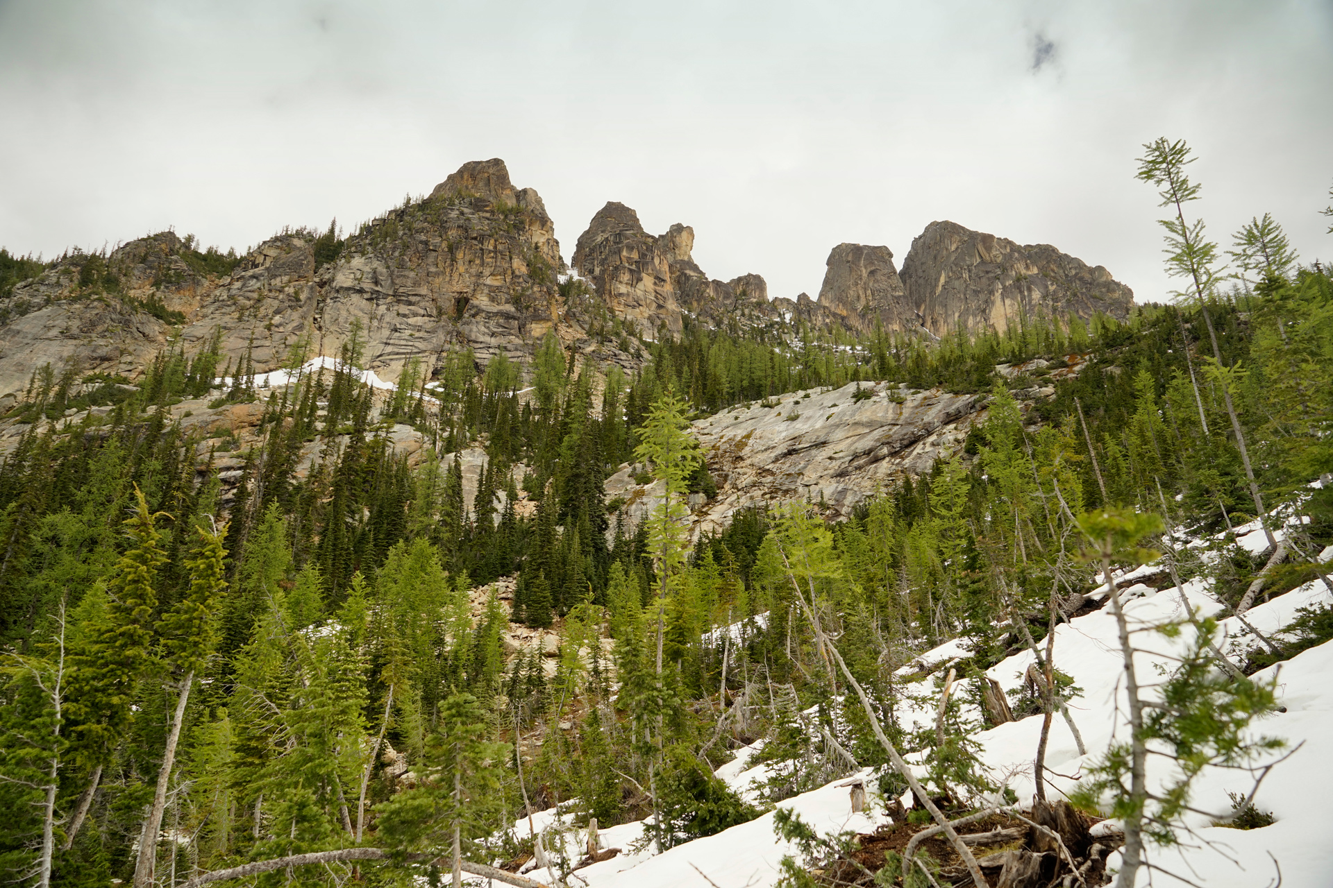
Early Winter Spires from the second clearing
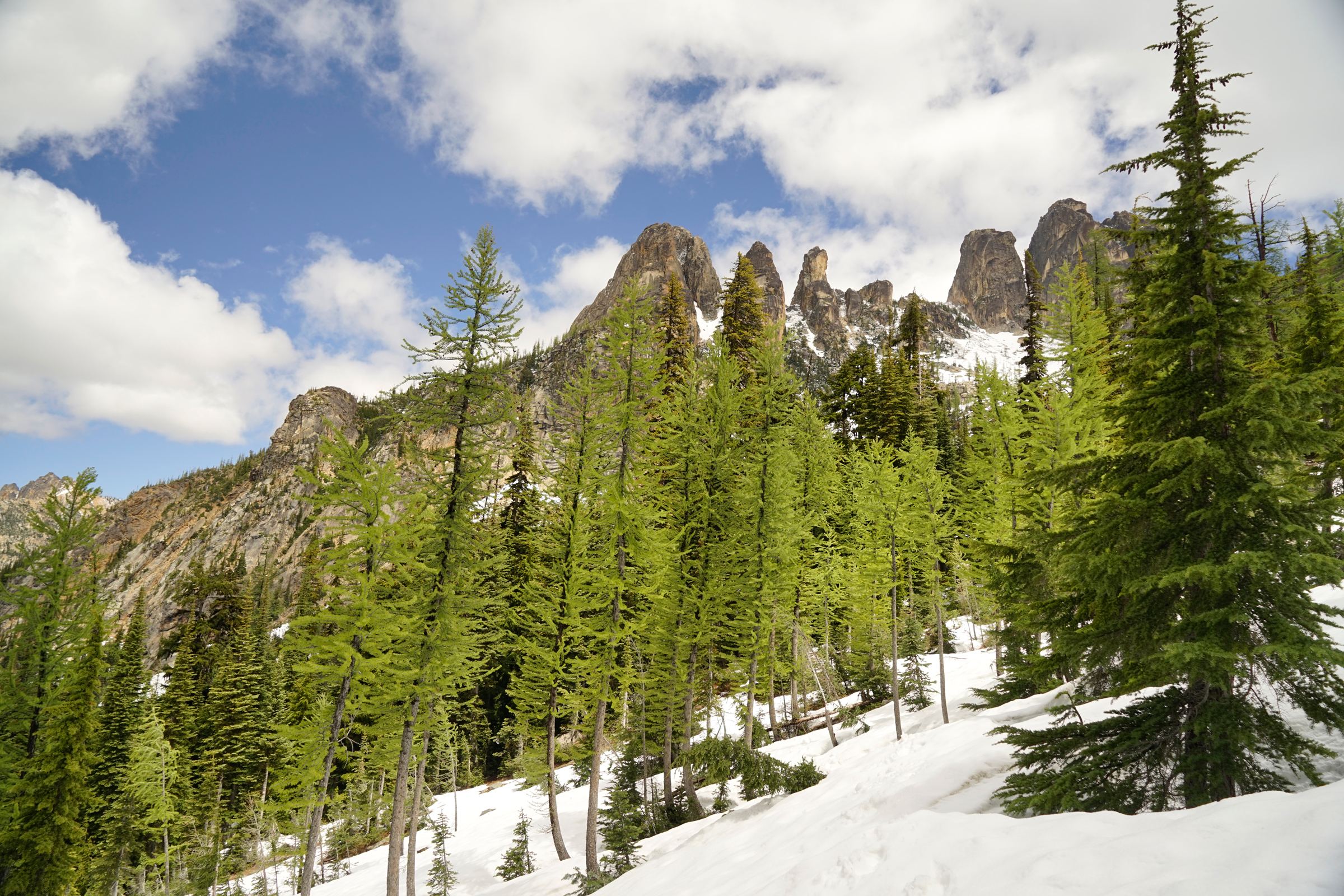
The trail can be difficult to navigate in the snow
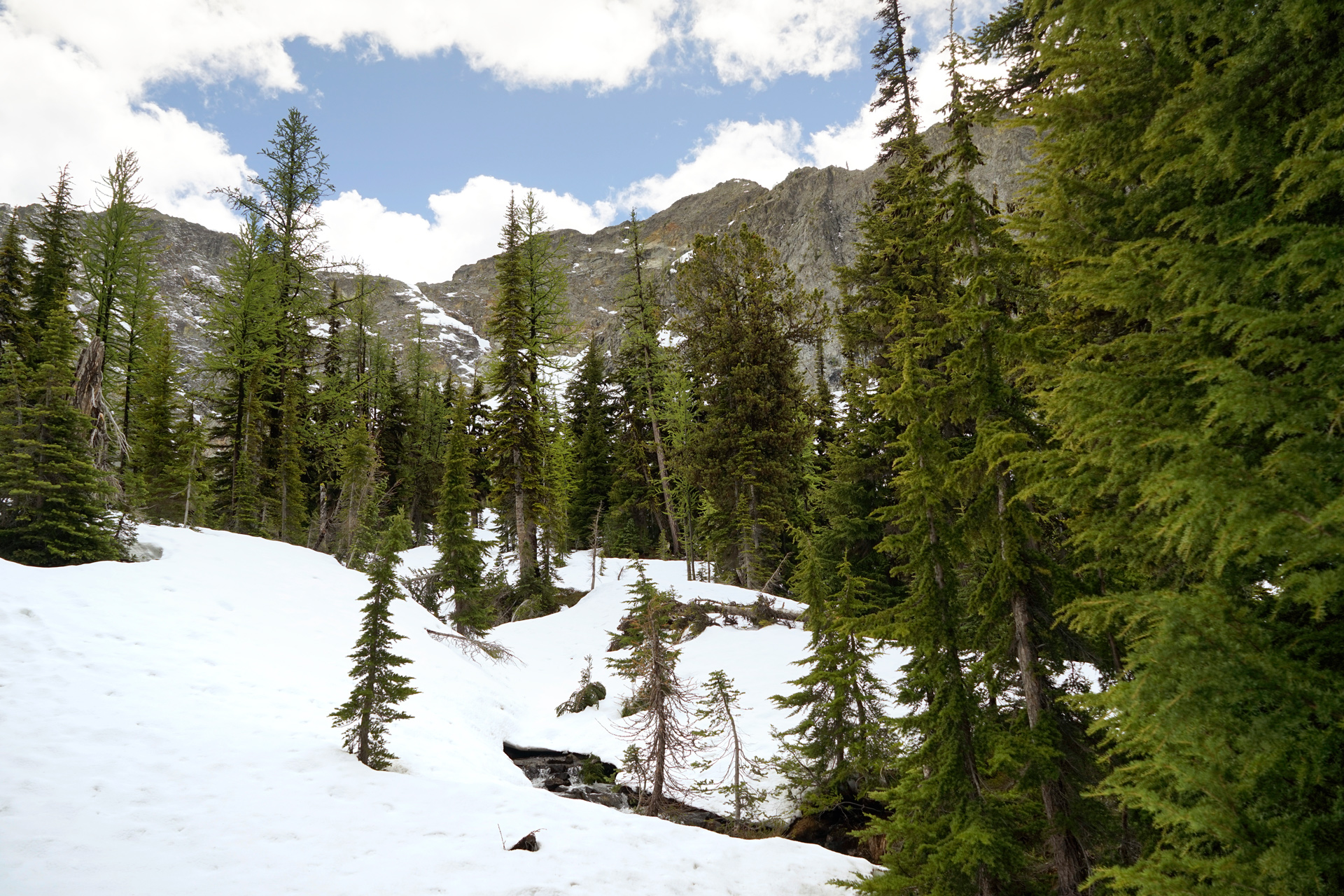
Turn left and follow the creek up the slope
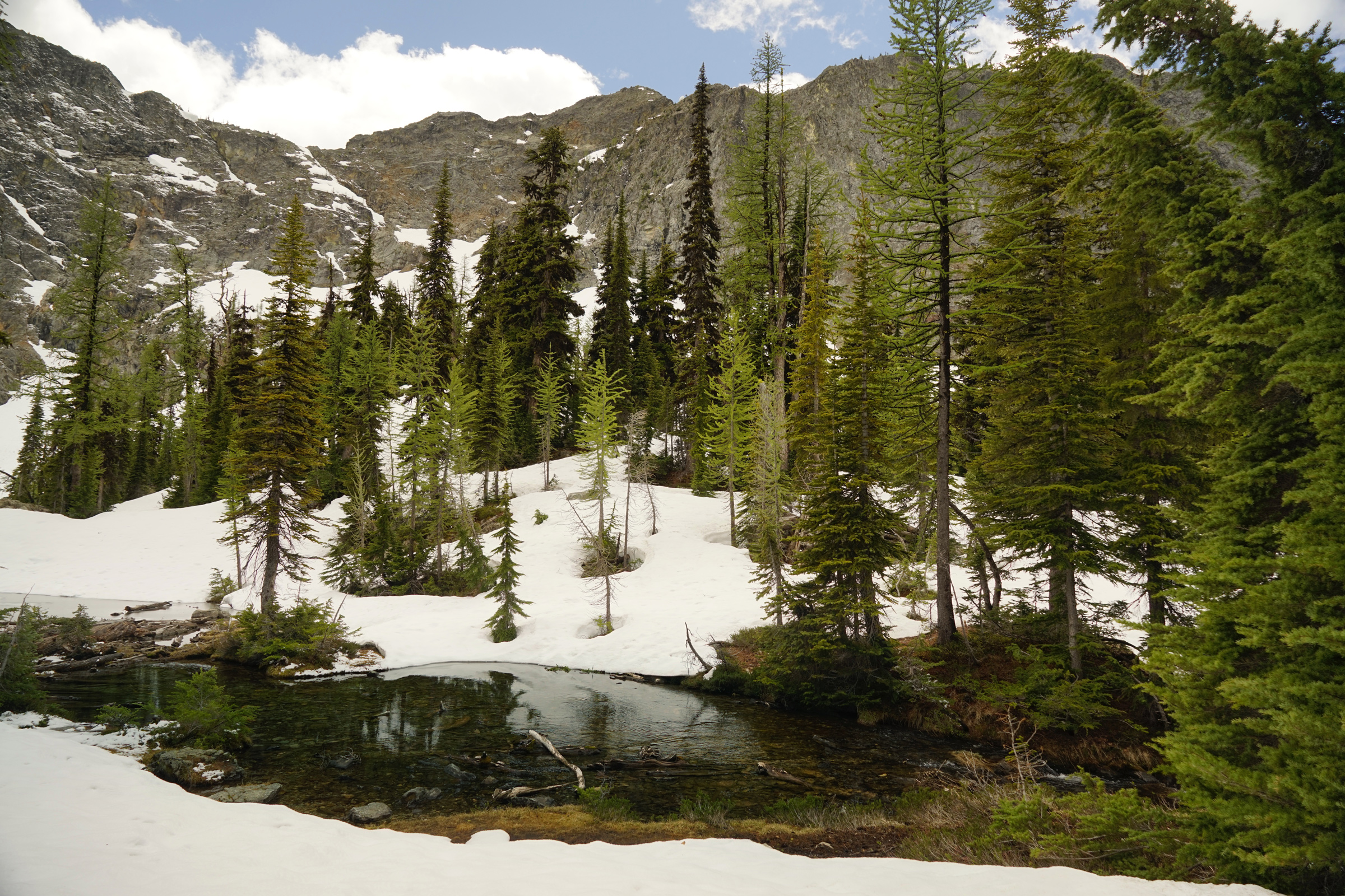
You can cross the log jam at the mouth of the lake to reach its west edge. Here are the best views of the cirque across Blue Lake.
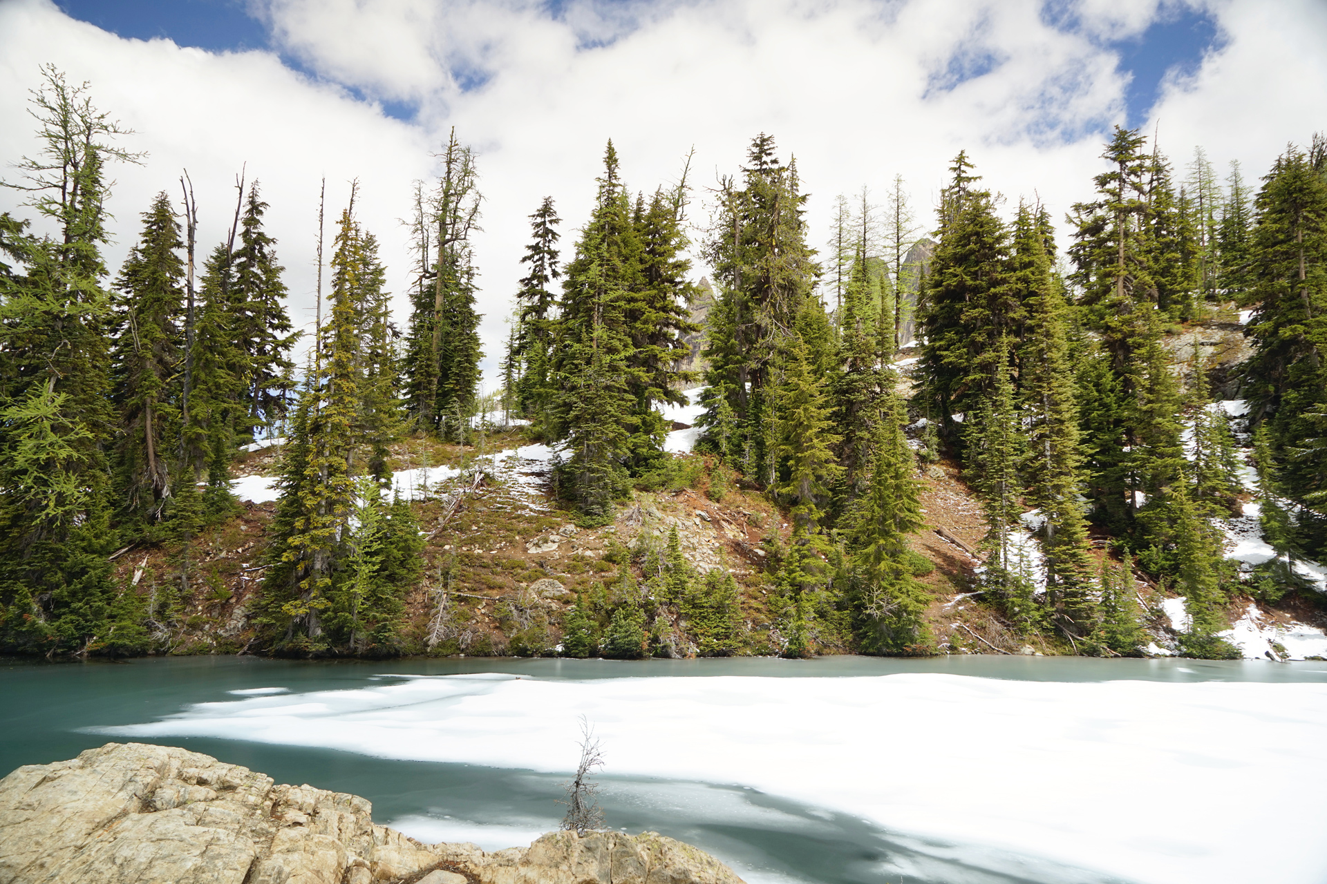
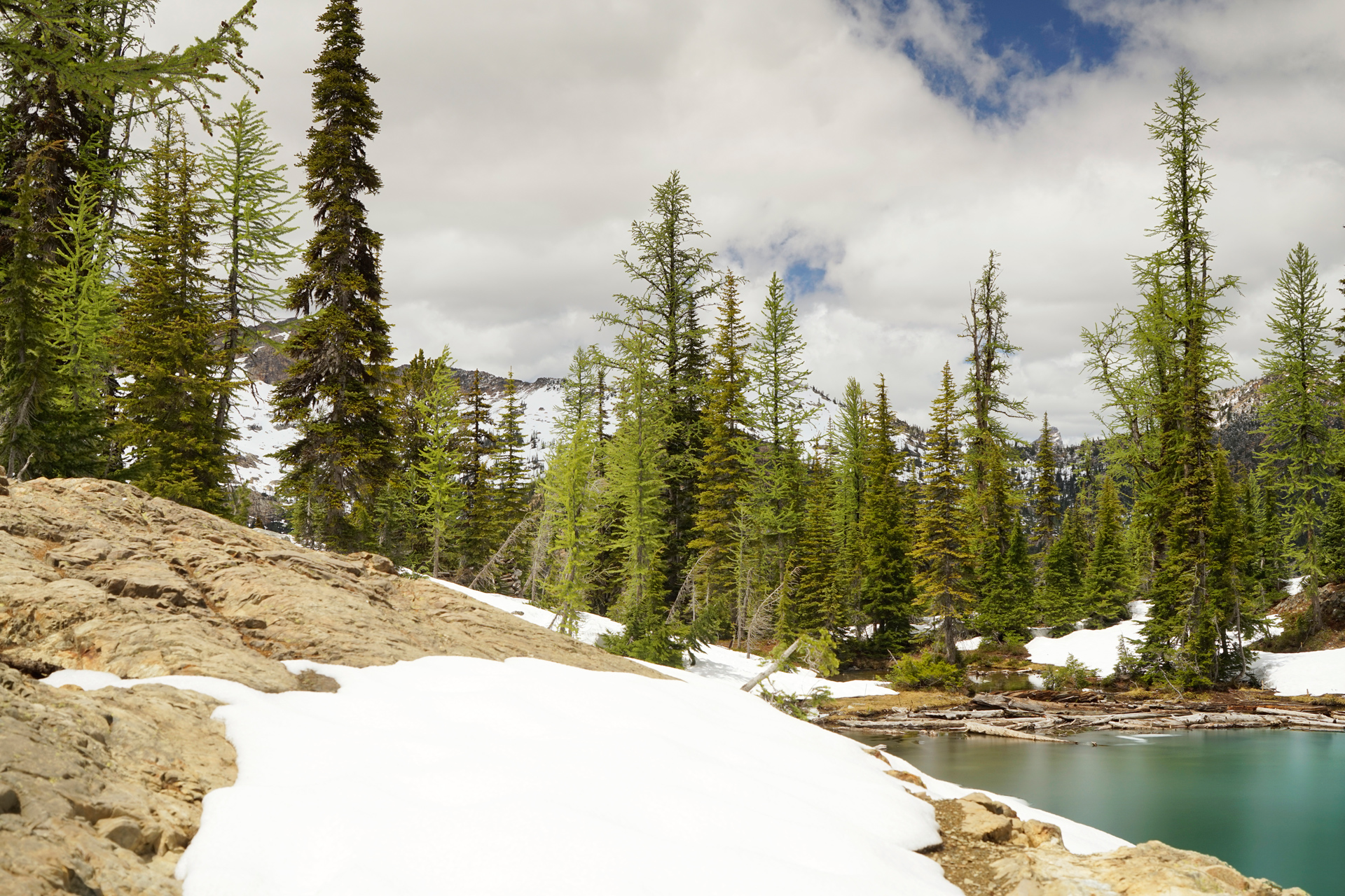
On the west edge of the mouth of Blue Lake
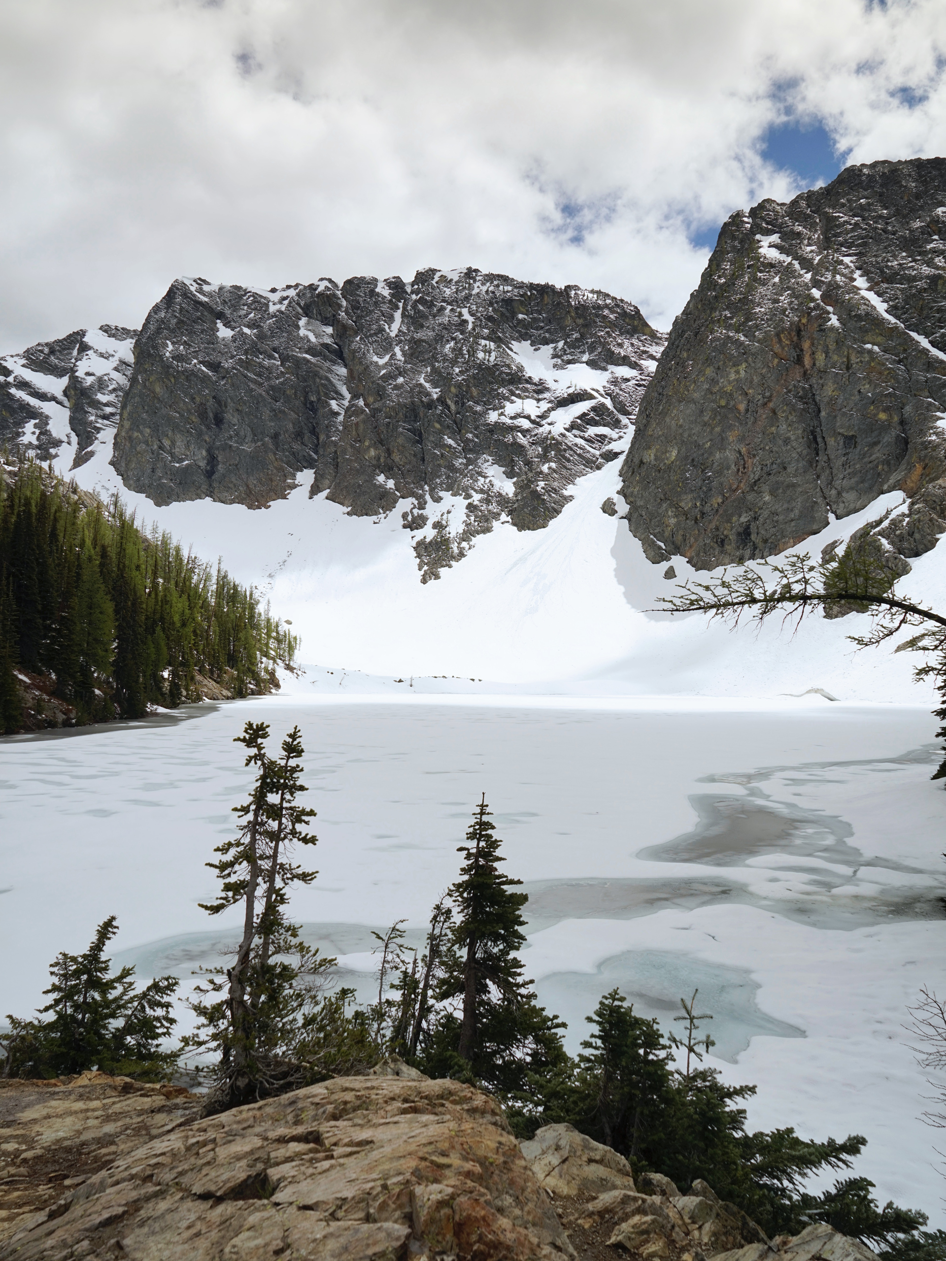
Blue Lake, frozen in June
Directions
The parking lot for the trail is located on the side of WA-Highway 20, about 41 miles east of the North Cascades National Park Visitor Center in Newhalem. It is just west of the Washington Pass Overlook.
1
Trailhead: 48.51896, -120.67437
2
1st Switchback: 48.52177, -120.66856
3
1st Clearing: 48.51468, -120.67205
4
2nd Switchback: 48.51816, -120.66854
5
2nd Clearing: 48.51268, -120.66574
6
Blue Lake: 48.50831, -120.67218
More Stories


