Washington · June 2016
Hike Summary
Distance:
4 - 4.5 miles out and back
Total Elevation Gain:
1,900 ft
Starting Elevation:
3,800 ft
Highest Point:
5,600 ft
Hike Time:
3 - 4 hrs
Difficulty:
Difficult
Season:
June - October
Dogs:
Allowed on Leash
Pass Required:
Minotaur and Theseus Lakes are relatively obscure, but they are one of my favorite destinations in a state filled with seemingly endless day trips to mountain lakes.
Despite its short distance, this is not an easy hike.
A one way trip to the ridge between Minotaur and Theseus Lakes is about 2 miles in length but requires an ascent of 1,900 vertical feet, most of it within the first mile of the hike.
As late as mid June, most of the trail above the 5,000-foot elevation line can be covered with 3 or more feet of snow, and bringing microspikes or hiking poles can be helpful.
Parking is along a wide section of the road next to the trailhead.
Starting the hike, the path climbs steeply under plenty of shade, and there are no views until you get higher in the forest.
There are a lot of downed logs and some rocks to sit on along the way as you continue steadily up the narrow trail, from which you can hear the rushing creek nearby for most of the way.
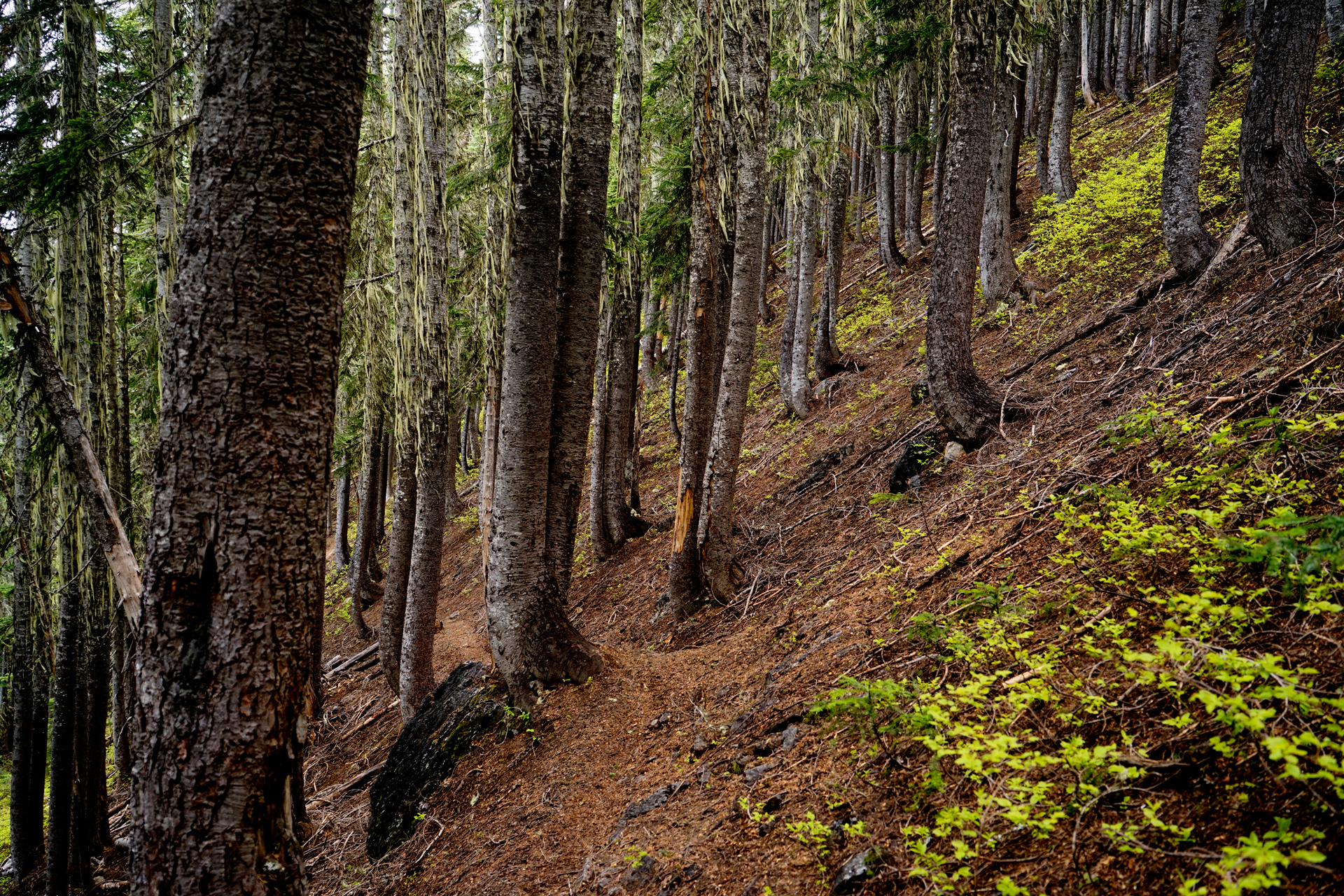
For the first mile, this is the typical slope of the trail
Above 5,000 feet, I reached a clearing where the snow coverage made the path less clear to follow.
Climbing in this snow without traction was difficult but not impossible, as the trail is less steep here than the beginning of the hike.
It also helped having an offline GPS trail map for guidance toward the the ridge between the two lakes.
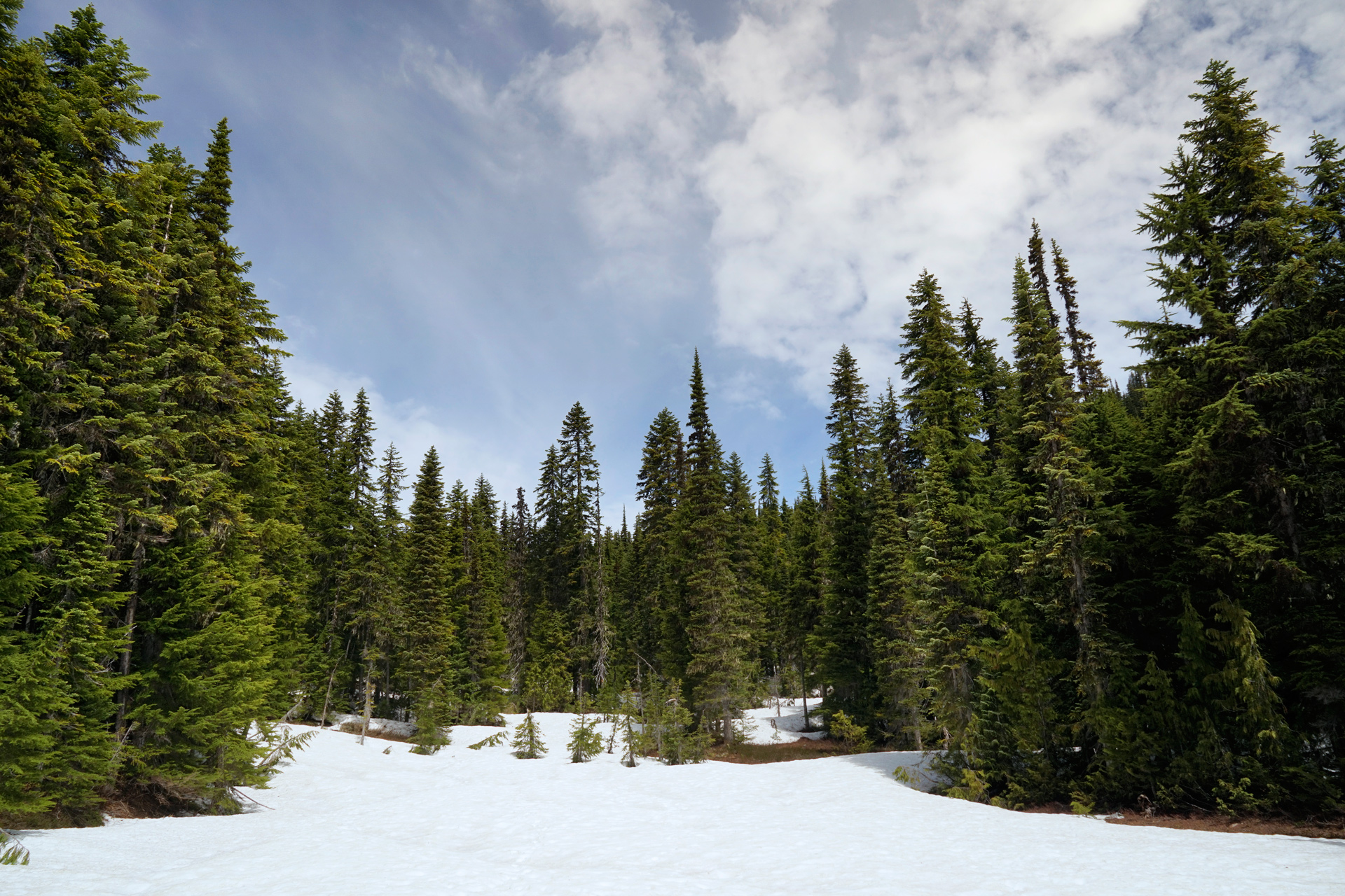
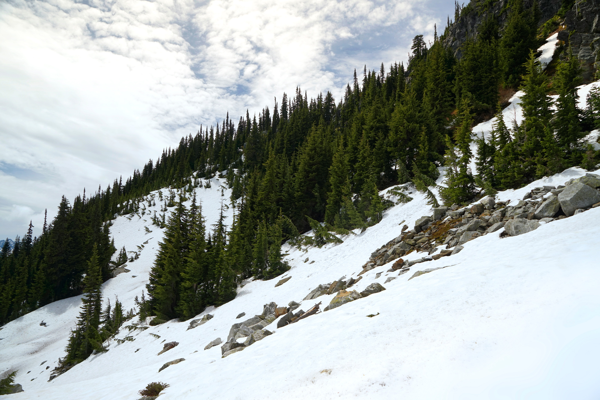
Plenty of snow above 5,000 ft elevation in June
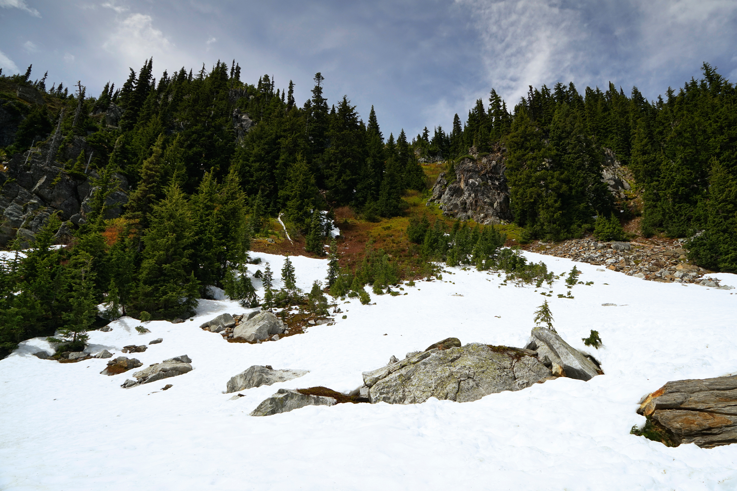
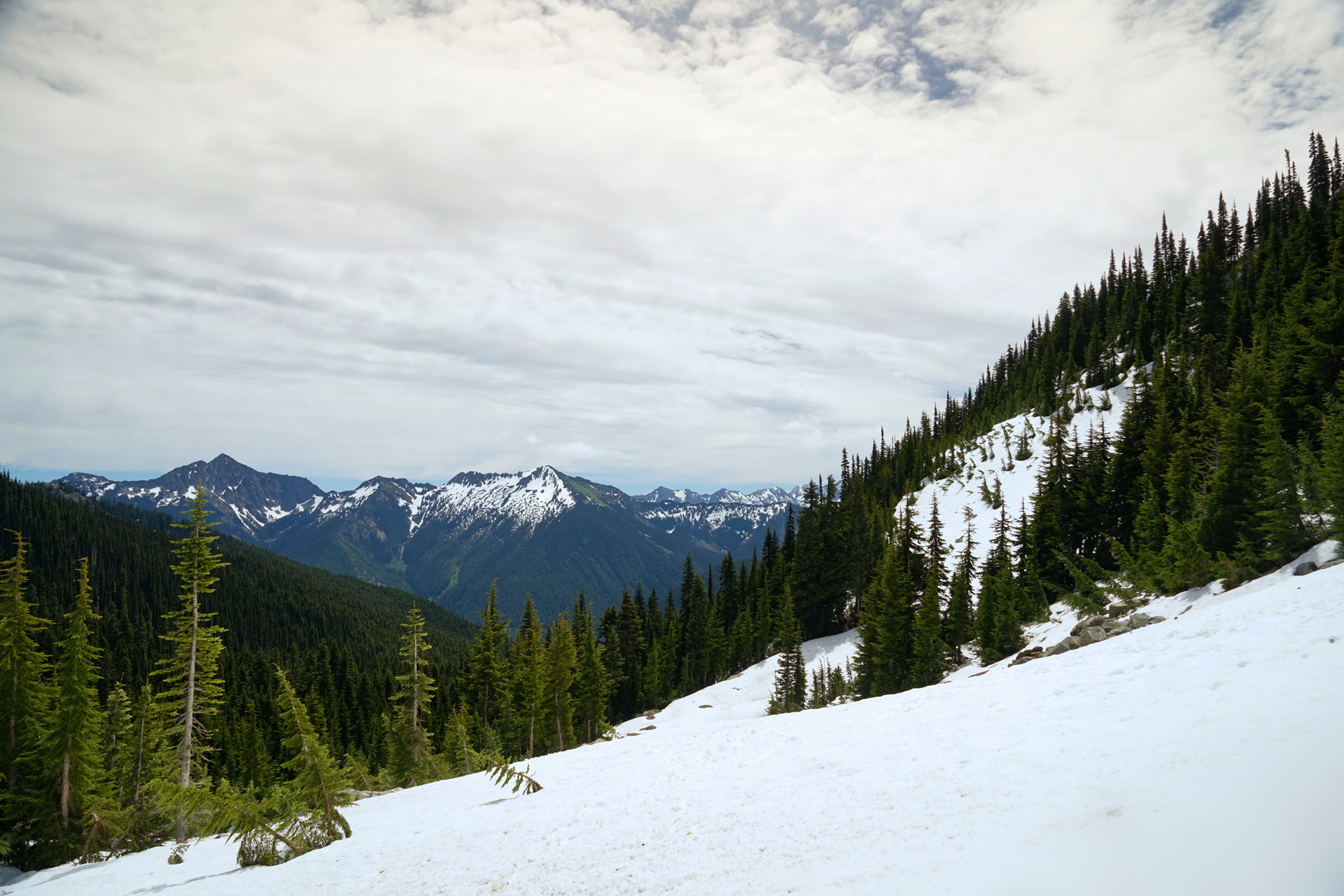
Bringing some traction would have been a good idea
You will reach Minotaur Lake just southwest of a creek, and it is worth continuing onward to explore more of the the lake's south and west banks first.
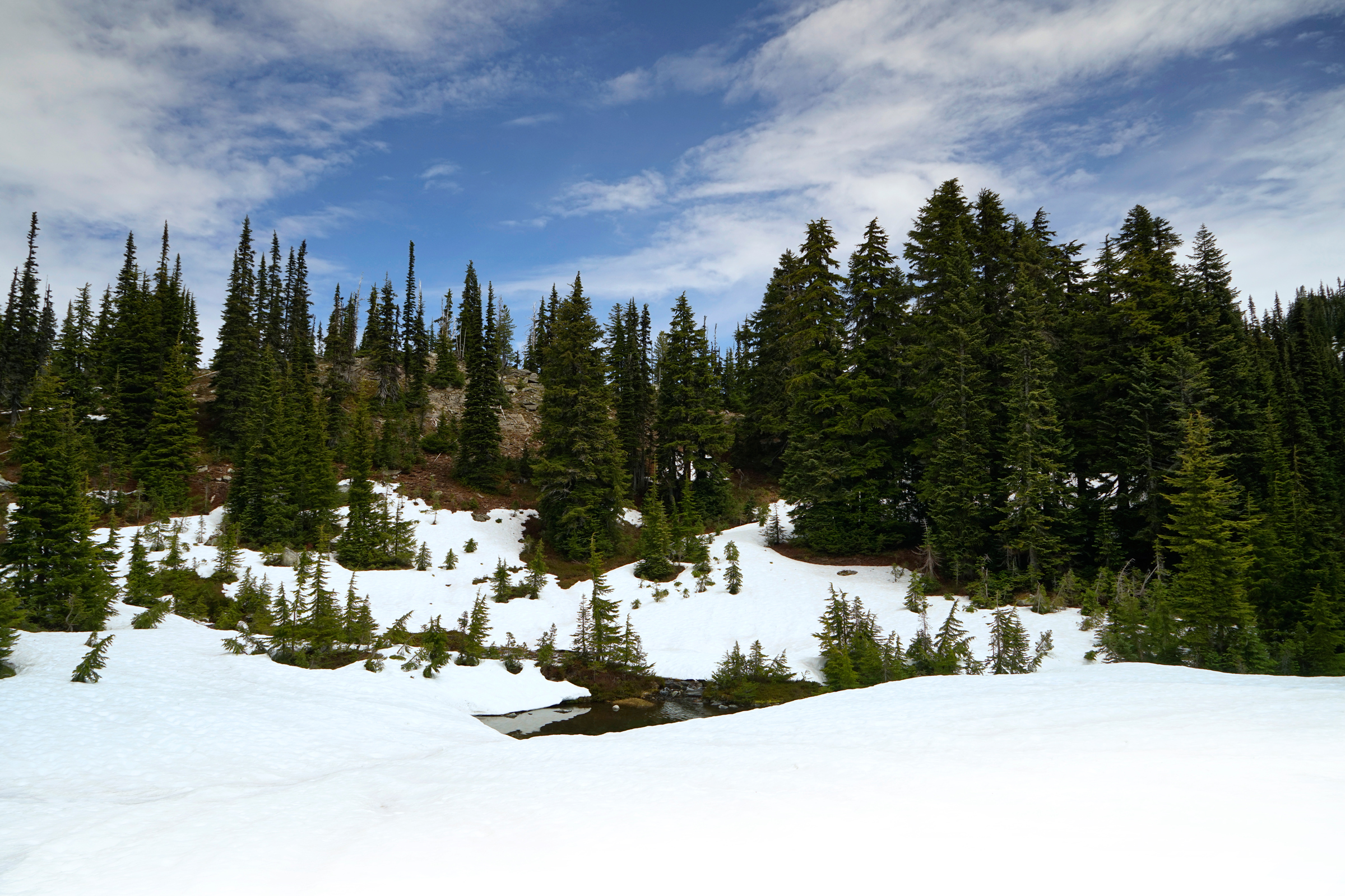
An exposed area of the creek just before reaching Minotaur Lake
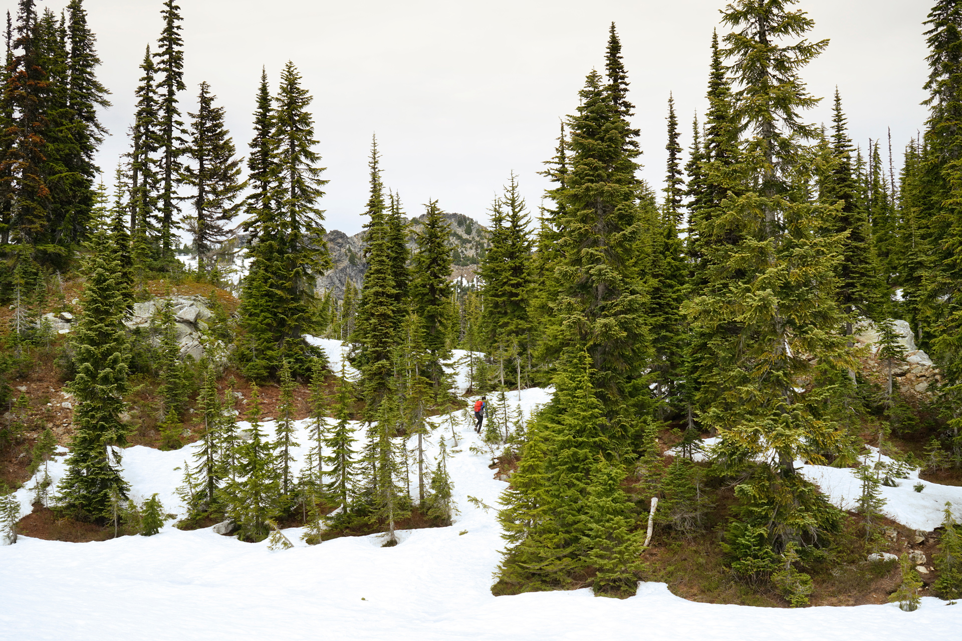
One more hill to climb before reaching Minotaur Lake
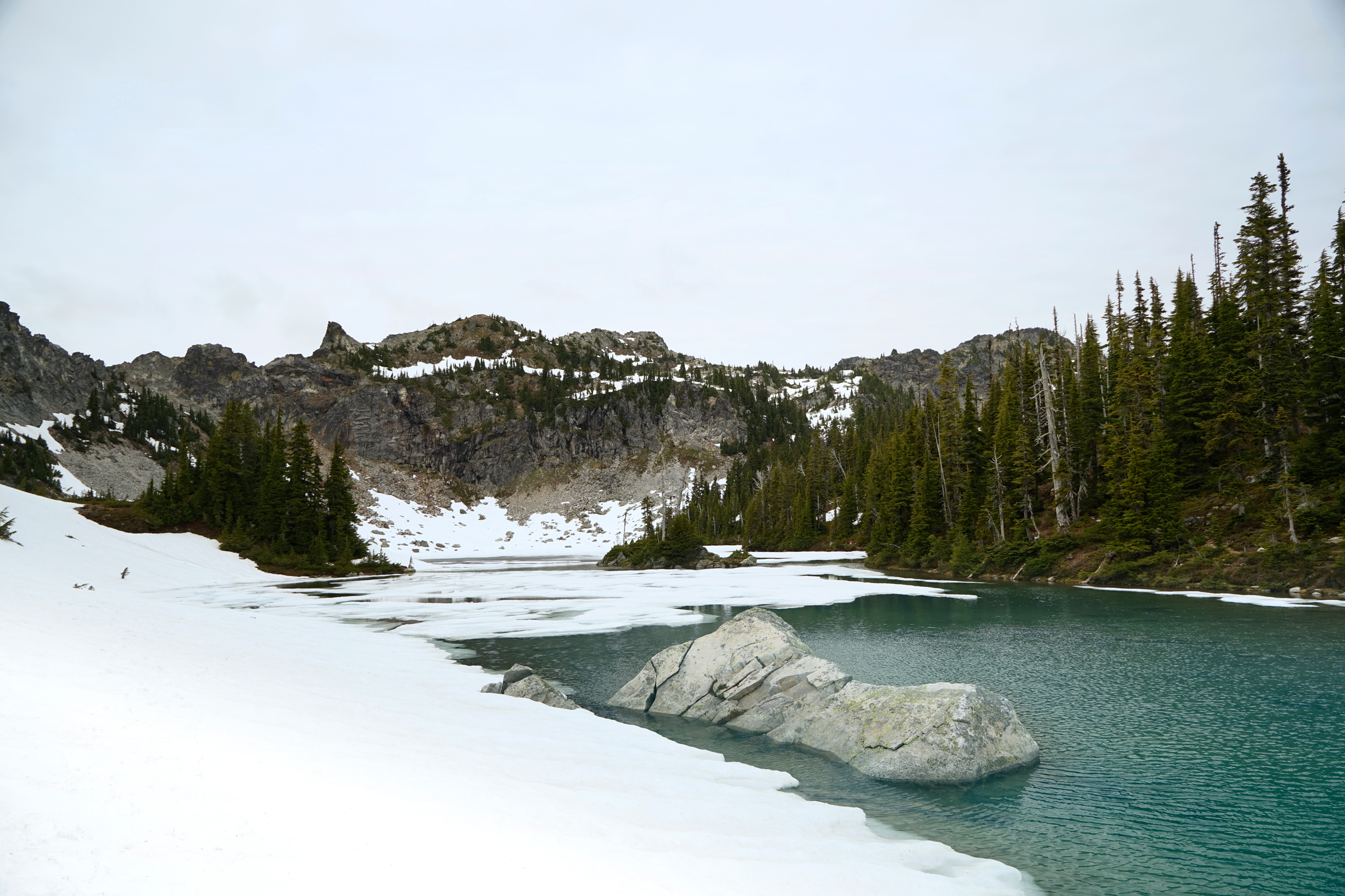
Along the west bank of Minotaur Lake
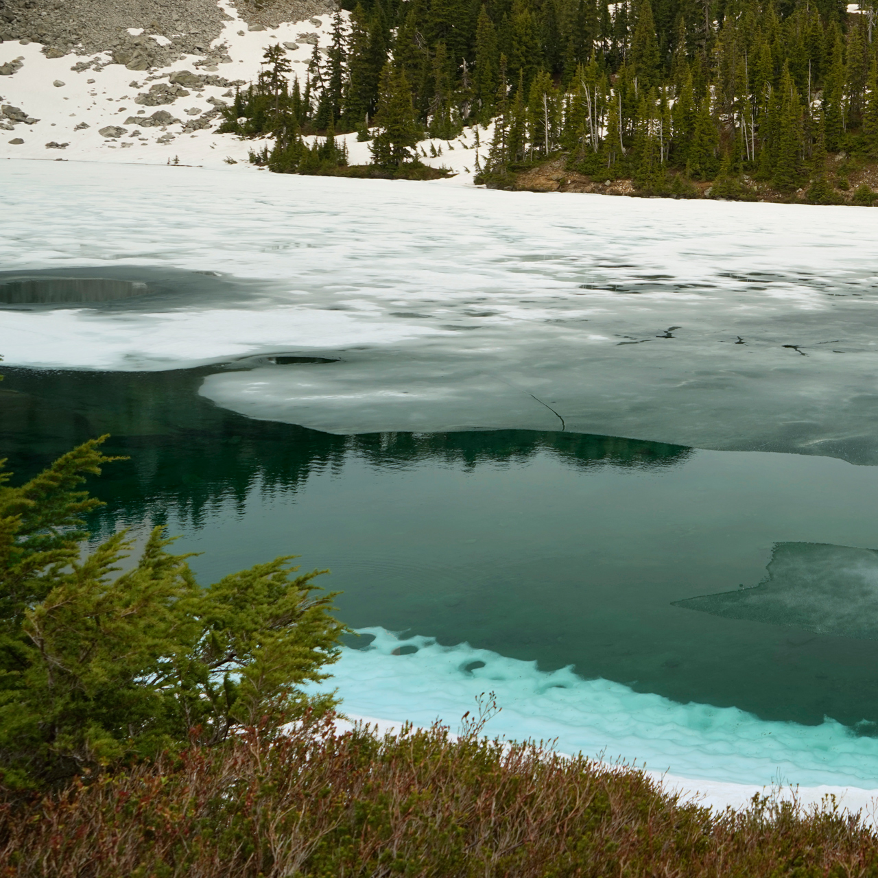
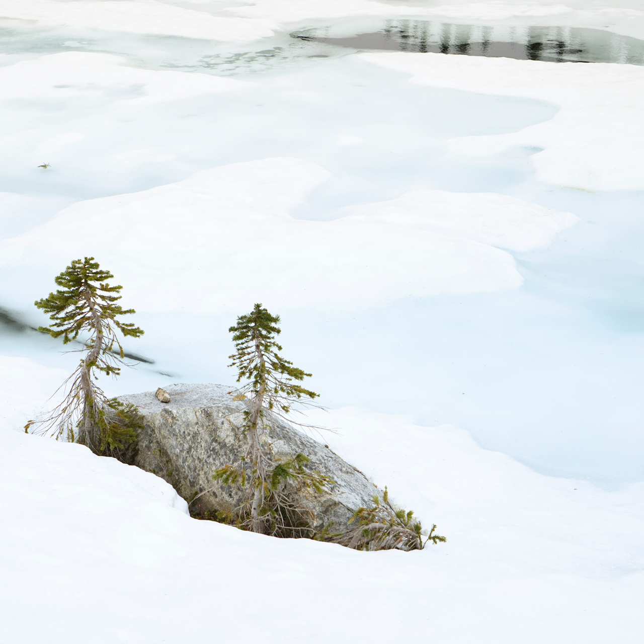
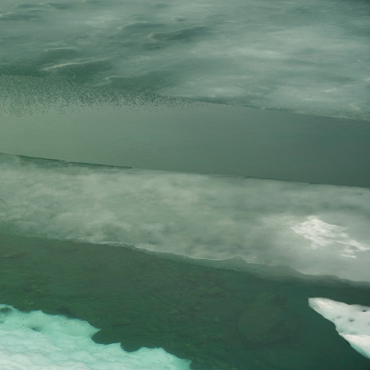
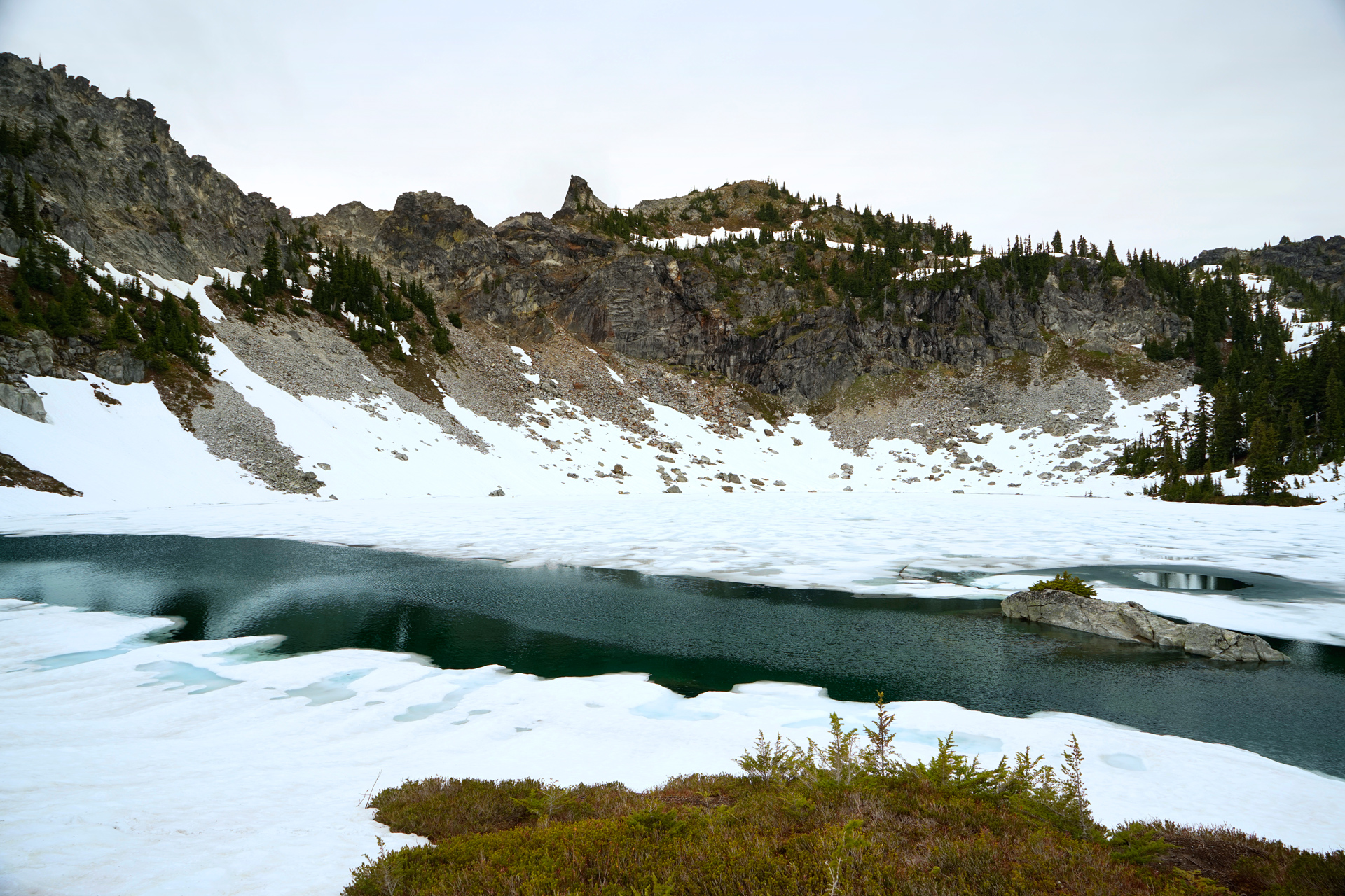
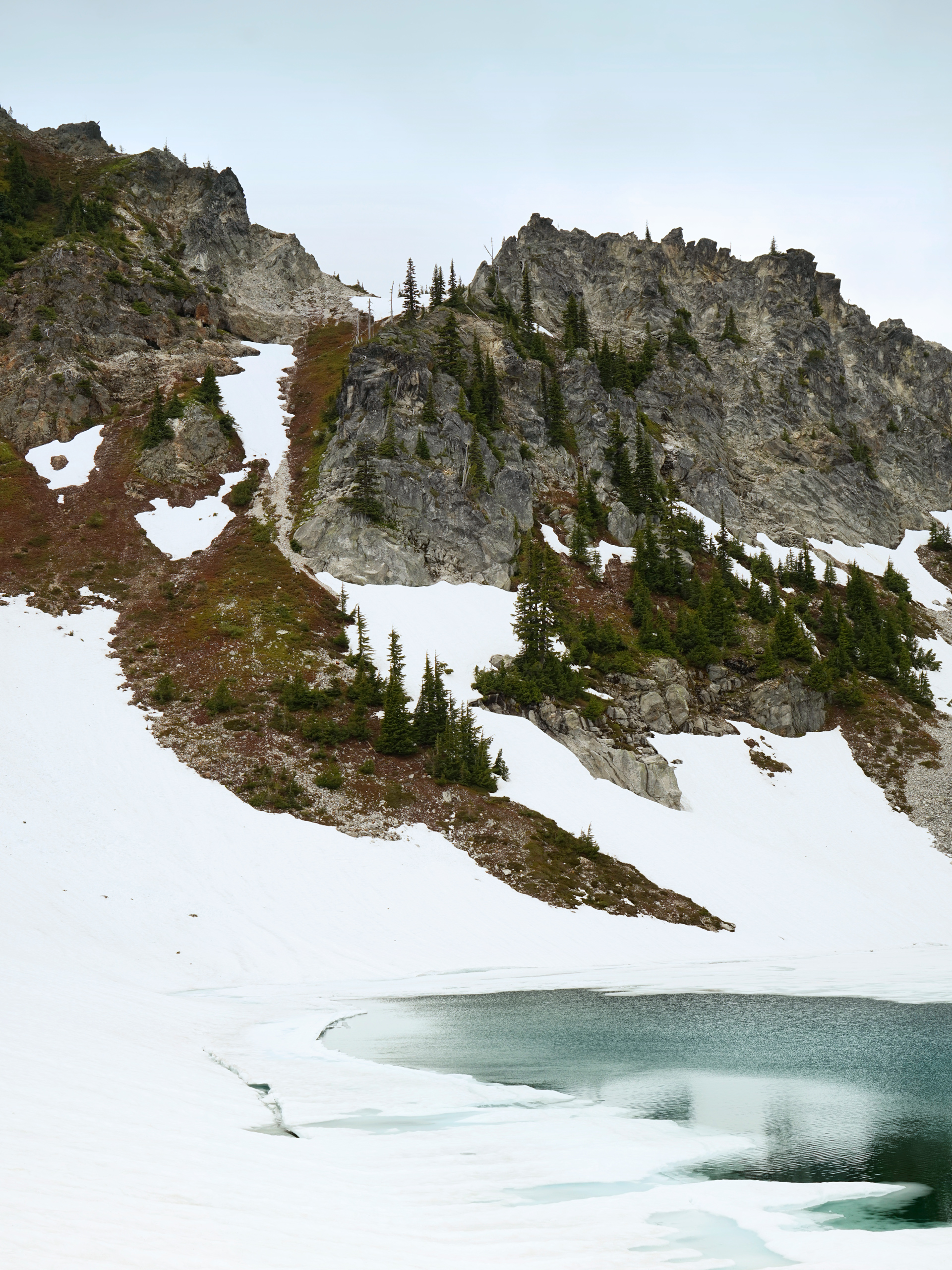

Labyrinth Mountain, on the north shore of Minotaur Lake
From there, you can reach the summit of Labyrinth Mountain if you are looking for additional hurt or backtrack southeast to one of two creek crossings which leads to a ridge just east of Minotaur Lake.
There are several nice viewing areas here where you can check out Theseus Lake from high above.
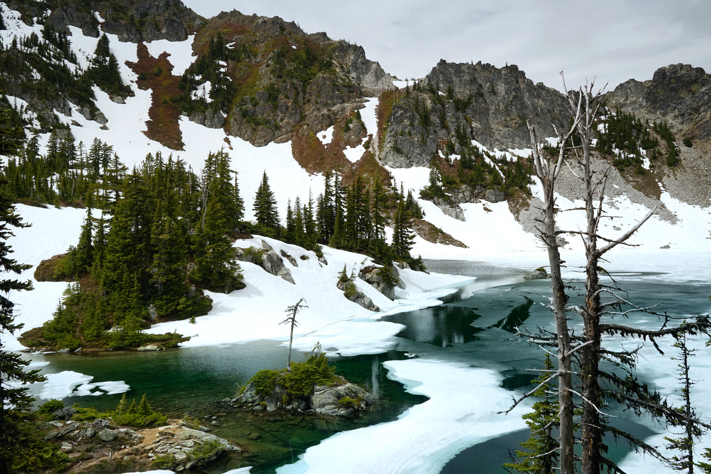
On a ridge along the east edge of Minotaur Lake

Looking down at Theseus Lake
Directions
Take US-Highway 2, then head north onto NF-6700 near Stevens Pass. Continue for 7.8 miles, and the trailhead is located next to a wide section of the road.
1
Trailhead: 47.828014, -121.029593
2
Minotaur Lake: 47.84559, -121.03827
3
Viewpoint for Theseus Lake: 47.84504, -121.03523
More Stories


