August 2015
After coming across an image of the Juvet Landscape Hotel the prior year, I started making plans to visit Norway.
In doing more research, I found out about the incredible landscape and architecture along the country's National Tourist Routes.
I wanted to visit as many of these places as I could and do a few hikes along the way.
Having only ten days in the country, I chose to focus on the fjords and mountain plains of western Norway.
My original itinerary involved three moderately-difficult hikes: Romsdalseggen, Besseggen Ridge, and Trolltunga.
However, the length and difficulty of these hikes, in addition to the driving distance between these areas and everything else on my hit list, made this an overly ambitious plan.
I ended up cancelling the Trolltunga hike in favor of a kayak tour of the Eidfjord nearby.
After mapping everything out, I opted to fly in and out of Bergen, and I stayed at various places along a series of roads that make a loop around Western and Central Norway.
The country is large, and driving around the fjords and into the mountains can be slow.
With so much amazing scenery along the way, it is simply not possible to visit and enjoy Norway from north to south in less than two weeks.
The south, the area around Oslo, the central fjords, northern Norway, and the Lofoten islands would have to wait for future trips.
Recommended Itinerary
If you want to get the most out of two weeks of summer in Norway, and your plan involves flying in and out of Bergen, this is the itinerary I would recommend:
Note this is a relatively fast-paced plan, and you'll be doing a lot of driving for most of the trip.
However, the scenery will make it worthwhile, and almost every mile on the open road is picture-worthy.
Be sure to check the seasonal road conditions before you head out, as some routes are inaccessible in the winter.
Base Cities
1
Bergen: 60.394840, 5.325462
2
Balestrand: 61.208568, 6.538213
3
Geiranger: 62.099052, 7.207008
4
Valldalen: 62.332601, 7.470891
5
Lom: 61.837548, 8.567652
6
Øvre Eidfjord: 60.465290, 7.070421
Bergen
Bergen is known as the gateway to the fjords.
It is small enough that you can walk around the entire city in a day, but there are also plenty of restaurants, shops, and hiking in the mountains surrounding the city.
You can spend two or more weeks in Bergen just taking cruises to the fjords or day trips to nearby waterfalls.
Bergen and Alesund, a full day's drive to the north, have major airports, which make them convenient starting locations for excursions in the west and central fjords.
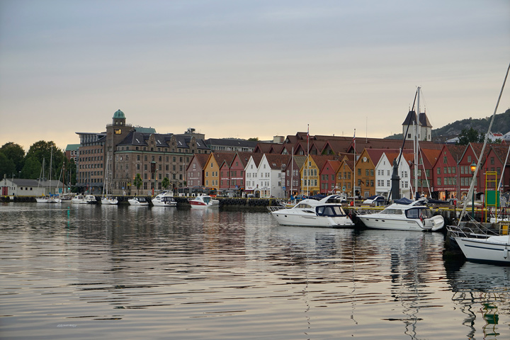
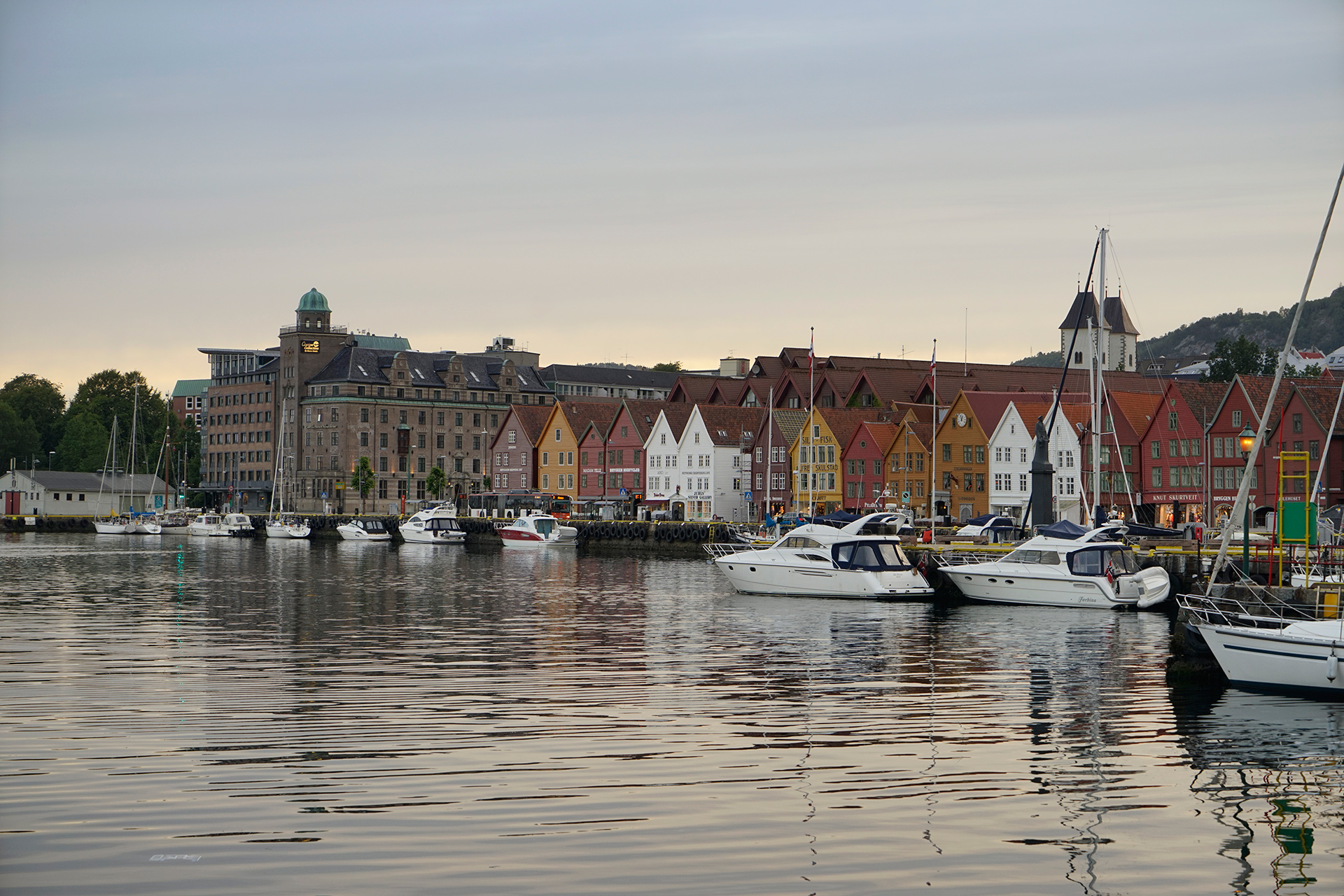
Bryggen, a port area in the center of Bergen, was once the main hub of trade between Norway and the rest of Europe.
Here you can walk along the water's edge to visit colorful buildings containing restaurants, cafes and tourist shops.
Nearby is the Fløibanen, a cable car that takes you up Mount Fløyen, where you can enjoy a panoramic view of the city, the sea and other nearby mountains.
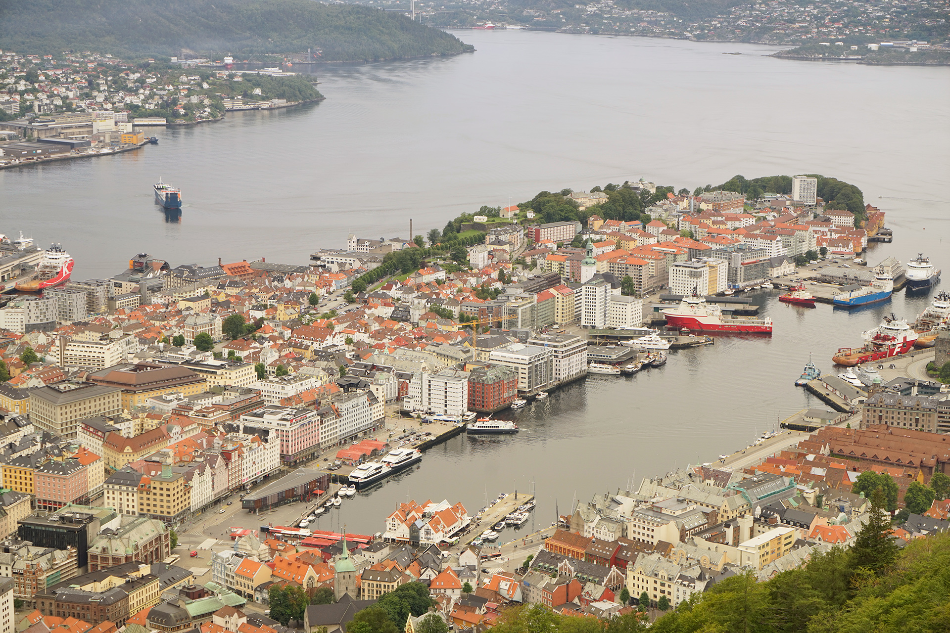
The Fløibanen cable car to Mount Fløyen: 60.396402, 5.328481
There are a few day hikes that start at the top of Mount Fløyen.
The walk to Skomakerdiket Lake is a short an easy option.
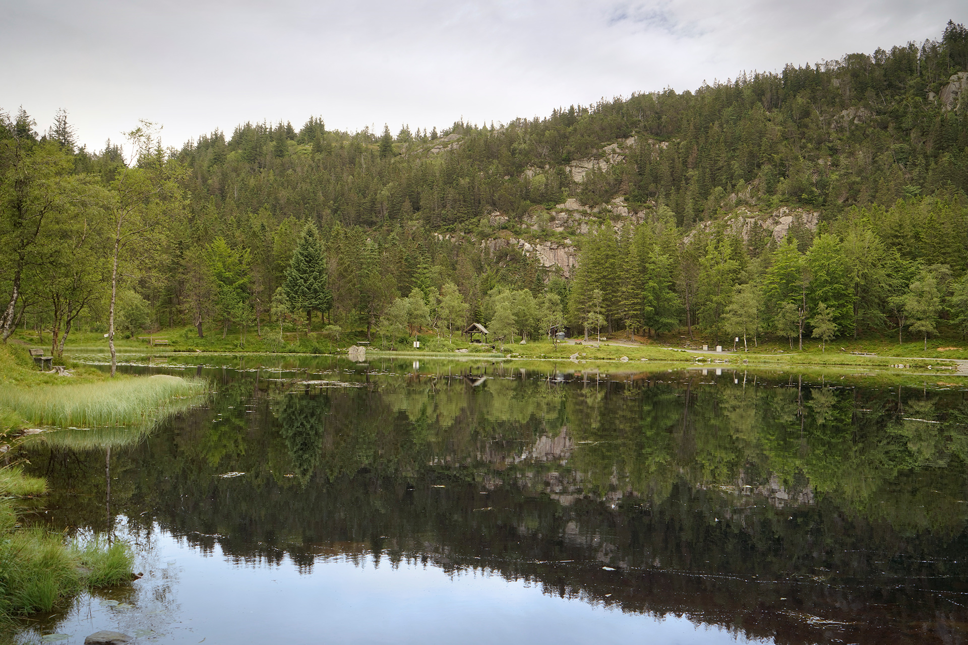
Skomakerdiket Lake: 60.394284, 5.351266
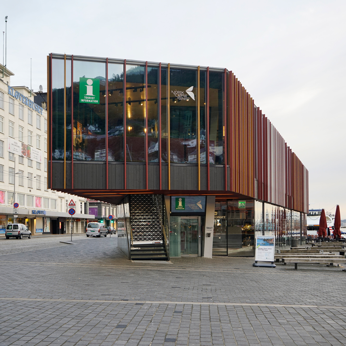
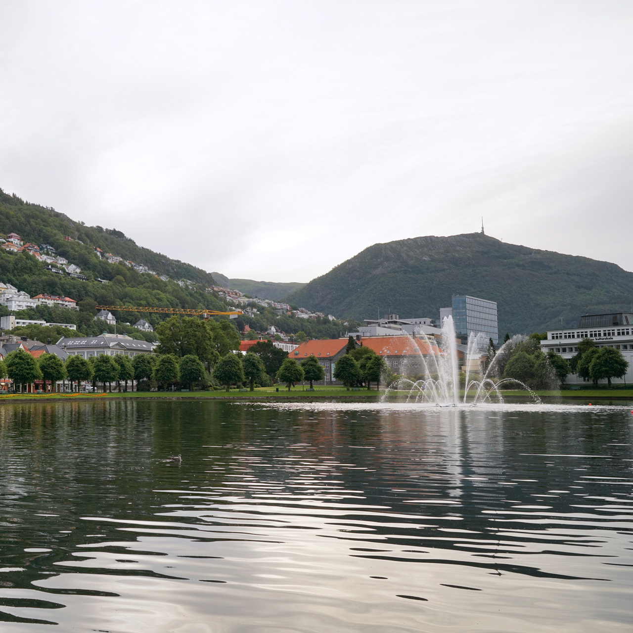
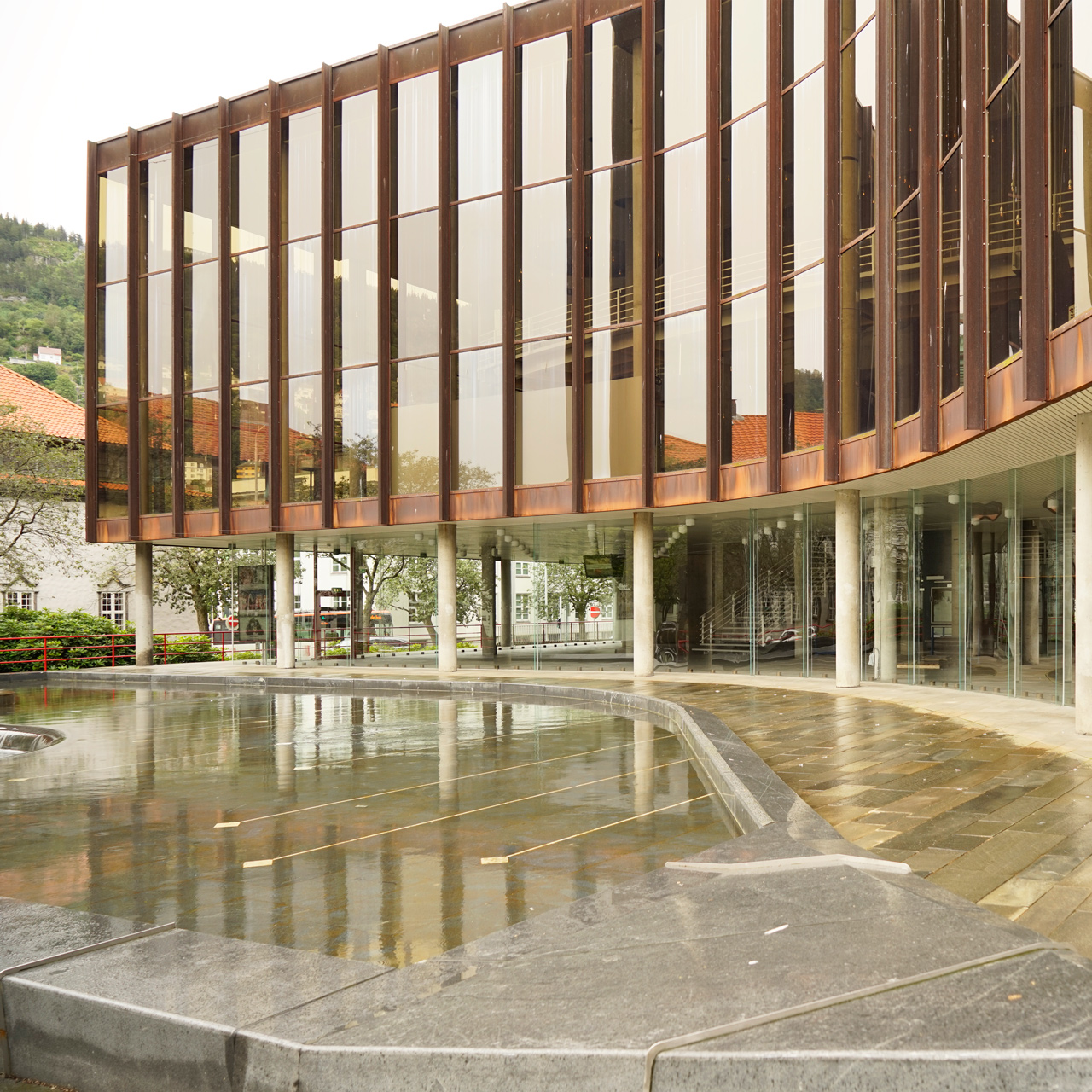
Other interesting places to visit in Bergen include the Fisketorget, a seafood market, Lille Lungegårdsvannet, a small lake in the city center, and Grieghallen, a concert hall.
Aurlandsfjellet
Driving between Bergen to Balestrand, the first of the National Tourist Routes you'll encounter is Aurlandsfjellet.
Covered in snow year round, it is one of the most beautiful roads in a country full of amazing scenery.
The driving and two ferry rides across the Sognefjord will fill up an entire day.
You'll get your first taste of the amazing fjord scenery and windy mountain roads as you head towards Aurlandsfjellet.
Like many alpine routes in Norway, the Bjørgavegen Road from Aurlandsvangen to the broad plains of Aurlandsfjellet is steep and narrow.
The Stegastein Lookout, a viewing platform and rest area with views of Aurlandsfjorden, is the first significant stop on this approach.
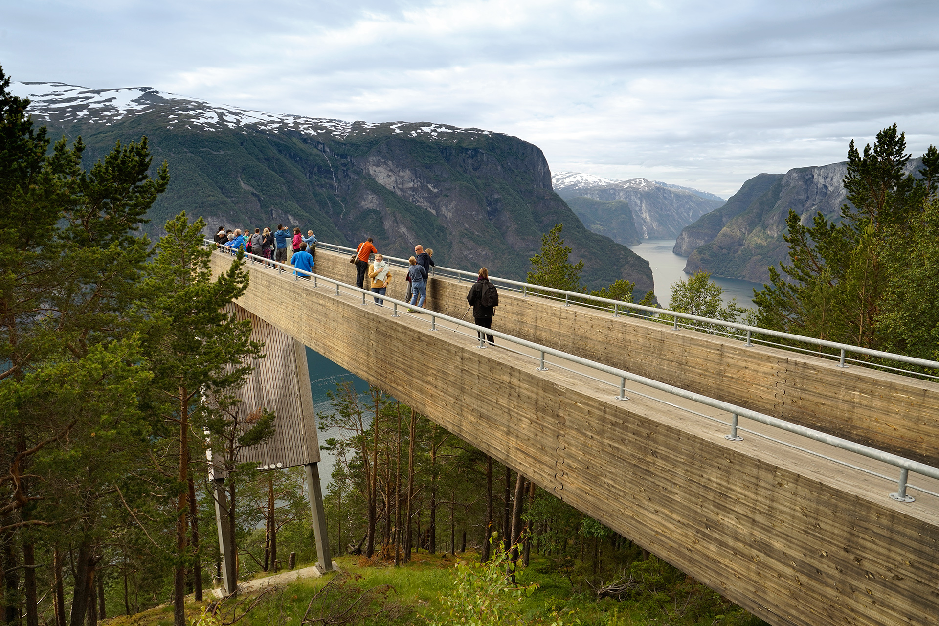
Stegastein: 60.908707, 7.212498
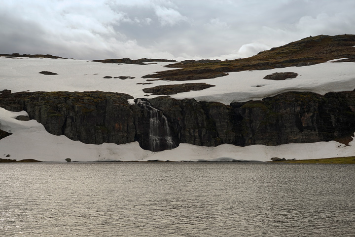
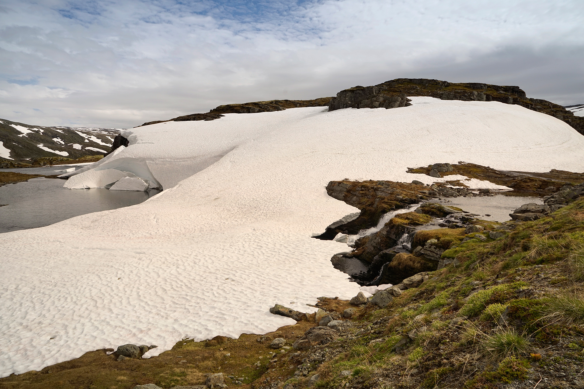
A short drive from the Stegastein Lookout, you'll reach a snow covered mountain plain with lakes and waterfalls along the road.
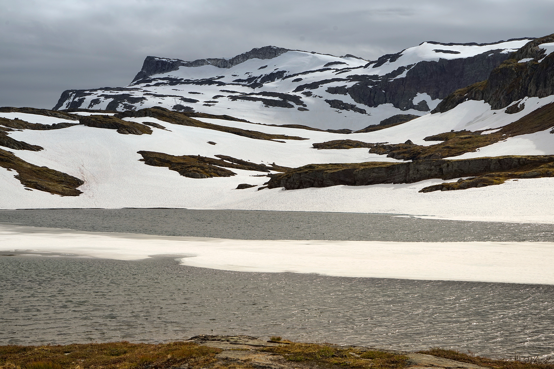
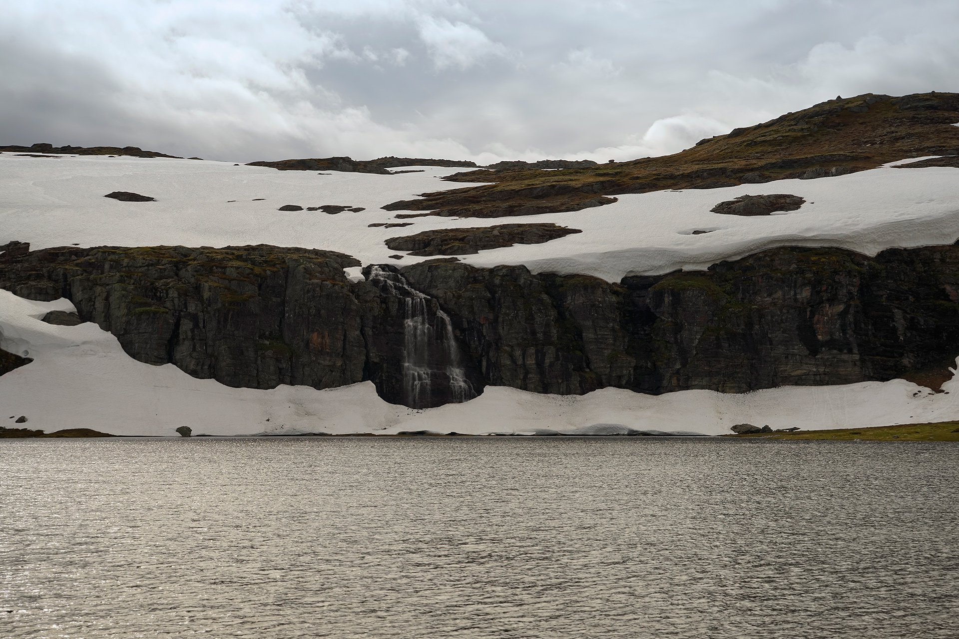
Further ahead on the Aurlandsfjellet, you'll see Flotane, a rest stop in the form of a tilted concrete cube.
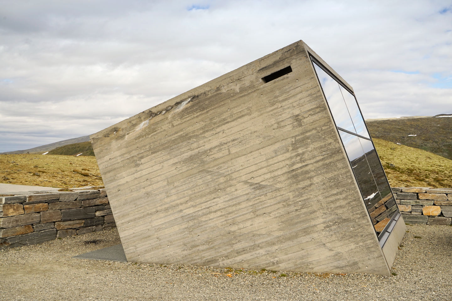
Flotane: 61.007674, 7.331527
Finally, there is Vedahaugane, a raised walkway and benches leading to a quirky cave exhibit.
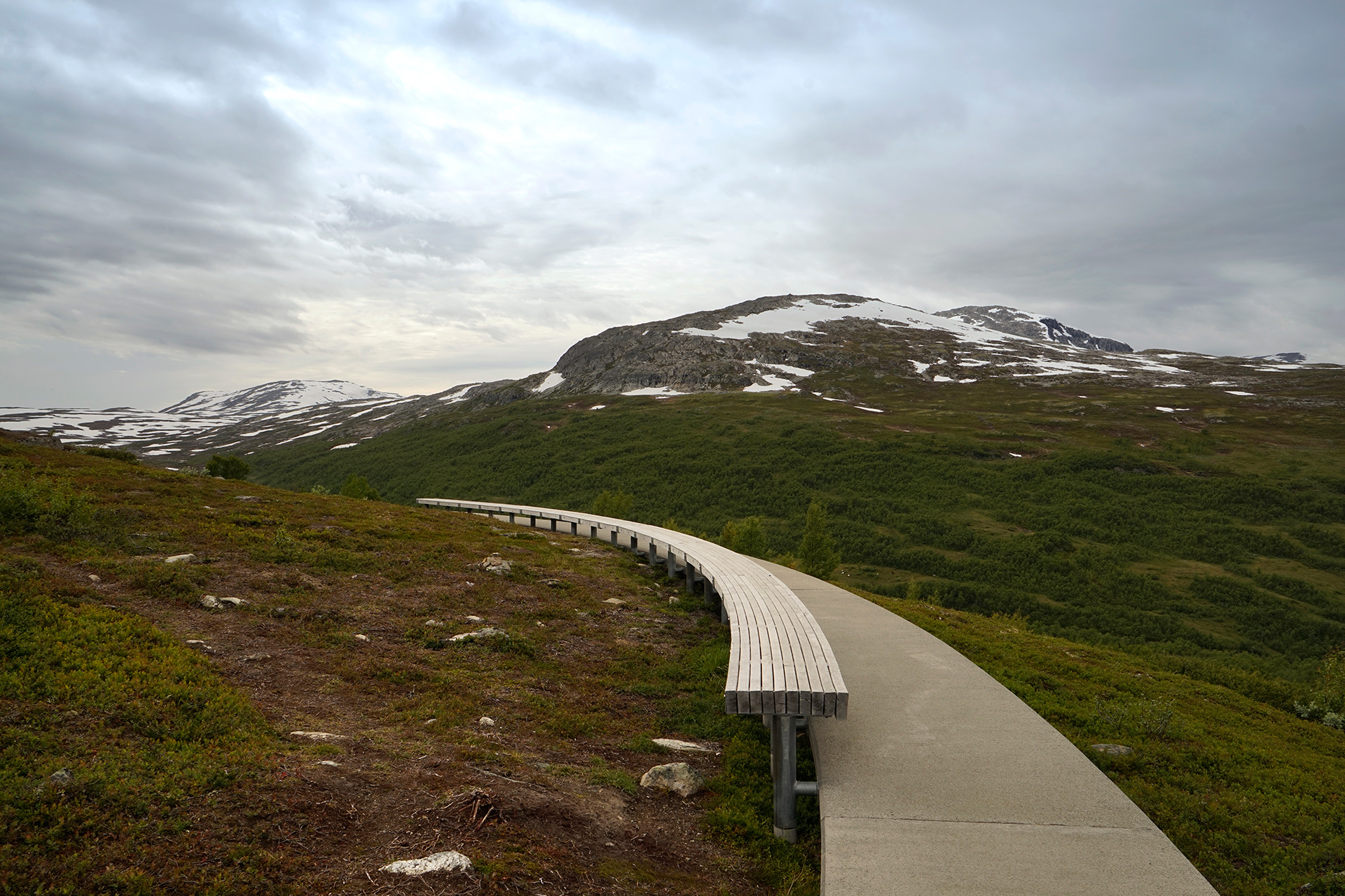
Vedahaugane: 61.031296, 7.328076
Descending from Aurlandsfjellet, you can take the Rv5 Mannheller-Fodnes Ferry across the Sognefjord and towards Sogndalsfjøra.
The Norsk Bremuseum further north on the Rv5 is worth a visit if it's still open.
If it's getting too late, take the direct route west on the Rv55 towards Hella-Dragsvik Ferry.
This crosses another arm of the Sognefjord, where you can settle in Balestrand.
I spent the night in Balestrand at the Kringsjå Hostel, which was an affordable option in the area.
I found it clean and comfortable, and it met all my expectations for the price, but if you're looking for something fancy, there's also the Kviknes Hotel on the waterfront, which also has a pretty good restaurant.
The area around Balestrand is beautiful, and it's worth spending more time here if you can.
Driving Route from Bergen to Balestrand
235 miles
Bergen to Stegastein Lookout via E16
114 miles
Stegastein to Mannheiler Ferry Terminal via Bjørgavegen (Aurlandsfjellet)
32 miles
Mannheiler-Fodnes Ferry
Fodnes Ferry Terminal to Norwegian Glacier Museum via Rv5
35 miles
Norwegian Glacier Museum to Hella Ferry Terminal via Rv5 and Rv55
45 miles
Hella-Dragsvik Ferry
Dragsvik Ferry Terminal to Balestrand via Rv13 and Rv55
9 miles
Gaularfjellet
Plan for an entire day of driving to visit the National Tourist Route attractions from Balestrand to Geiranger.
You'll begin by driving north toward Vetlefjorden.
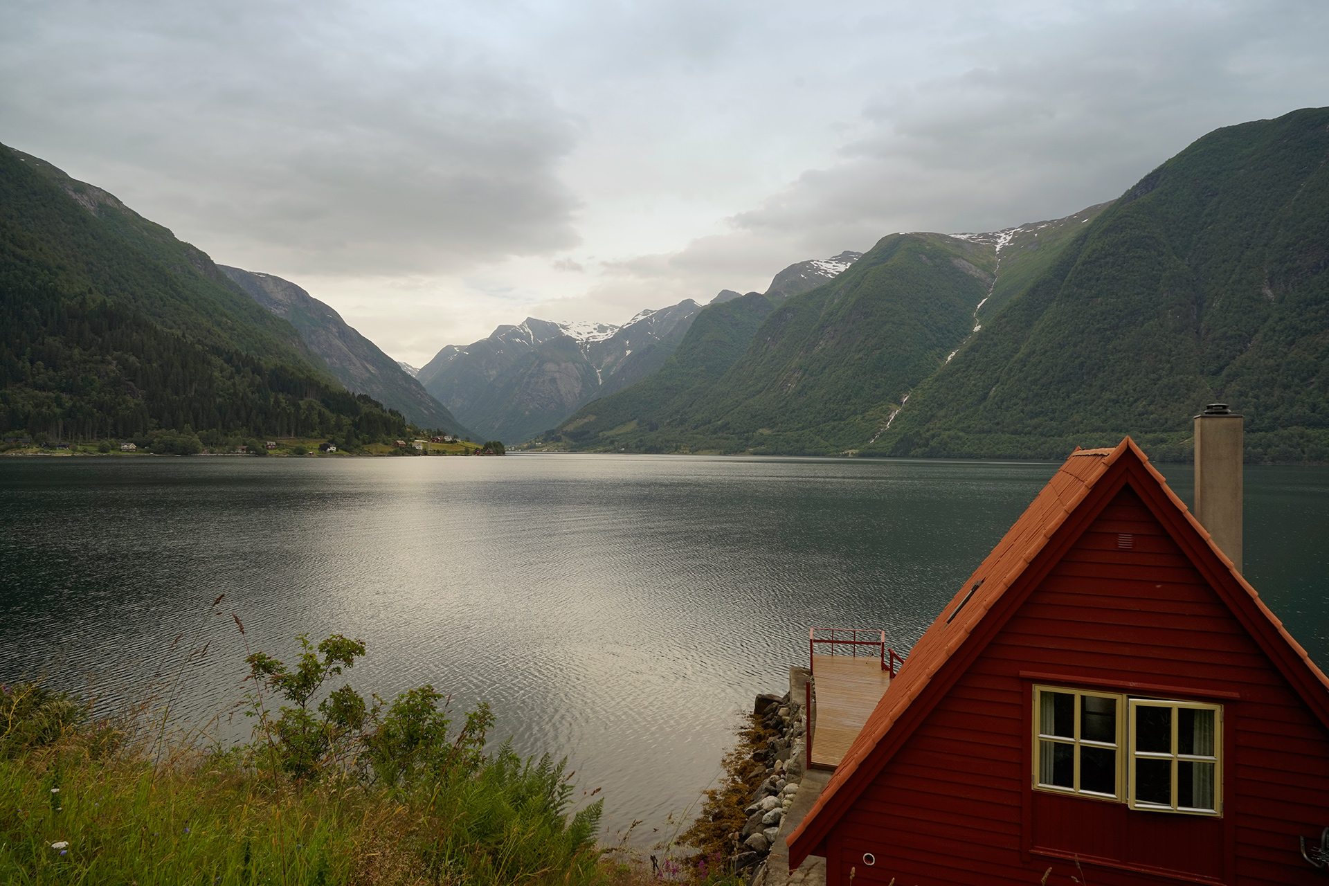
From there, the road takes you up the mountain pass to reach Gaularfjellet.
Heading west, there are two notable points of interest.
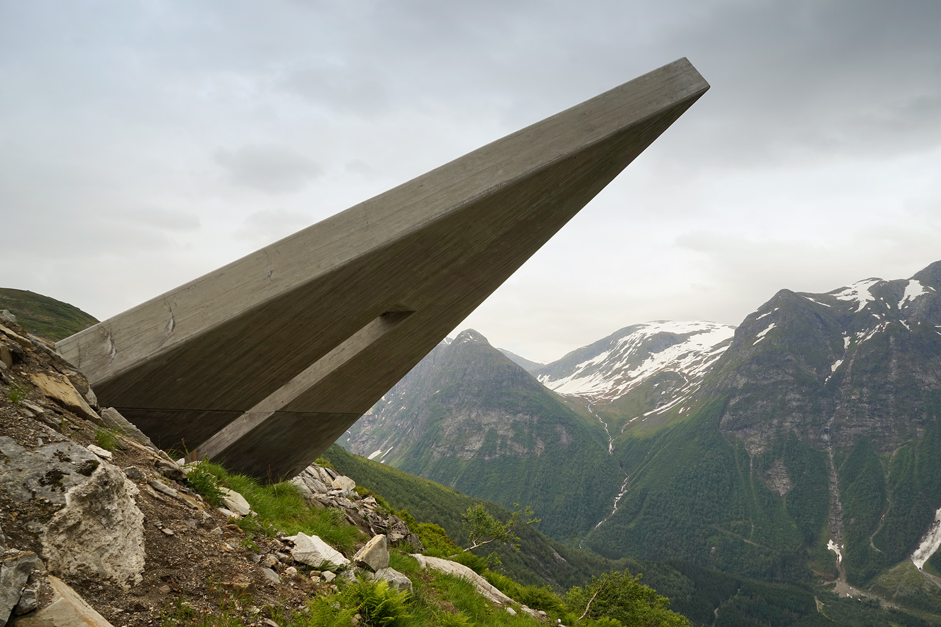
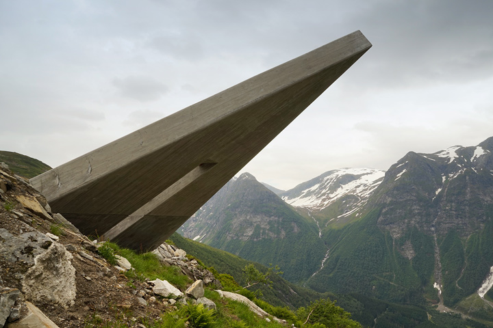
Utsikten is an amphitheater that takes the form of a triangular concrete platform with seating cantilevered over a mountain.
This marks the eastern boundary of Gaularfjellet.
At the time I visited, the amphitheater was still under construction, but it was scheduled to be complete by the following summer.
Likholefossen is another great place to stretch your legs as you traverse a nice waterfall over a modern steel walking bridge.
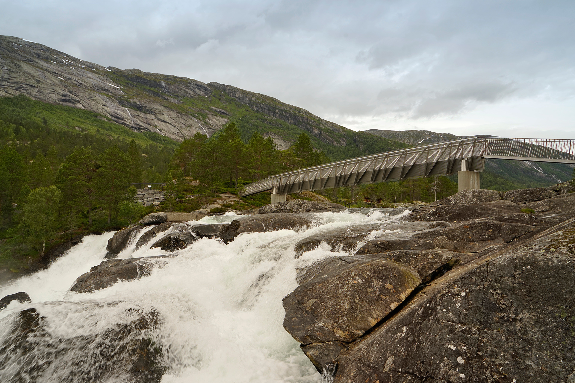
During the summer months, you can take the scenic route from the Gaularfjellet toward Geiranger by pointing your car towards the Jostedalsbreen Nasjonalparksenter in Oppstryn, about 3 hours drive from the Likholefossen bridge.
From Oppstryn, you have two options- either take the scenic route onto RV258 (the Gamle Styrnefjellsvegen Route) or continue directly towards Rv63, the beginning of the Geiranger-Trollstigen Route.
Either way, you'll eventually arrive at the stretch of Rv63 next to two lakes, Langvatnet and Djupvatnet.
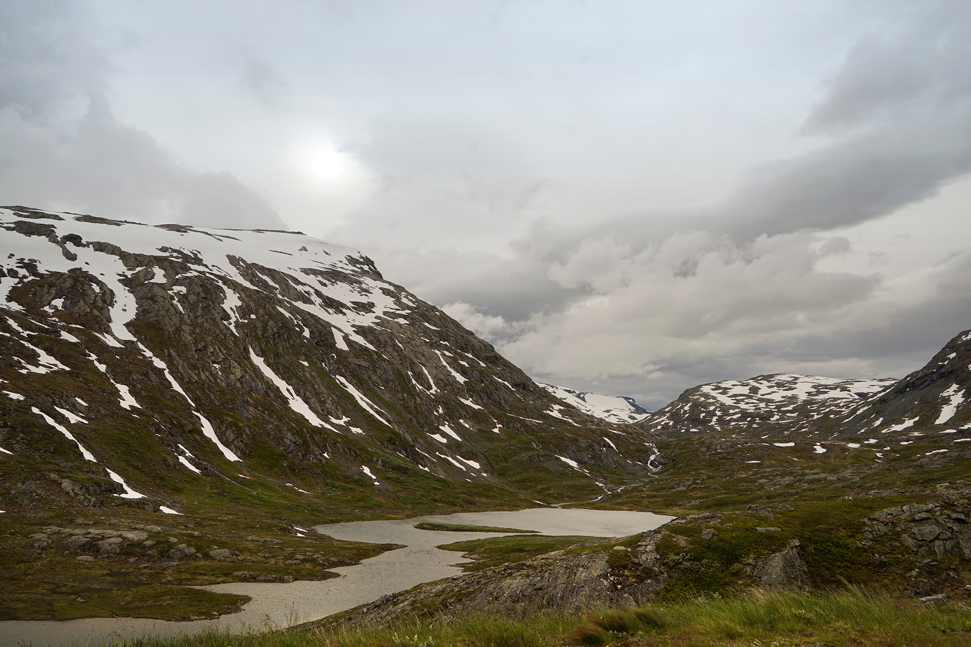
Langvatnet: 62.013520, 7.388741
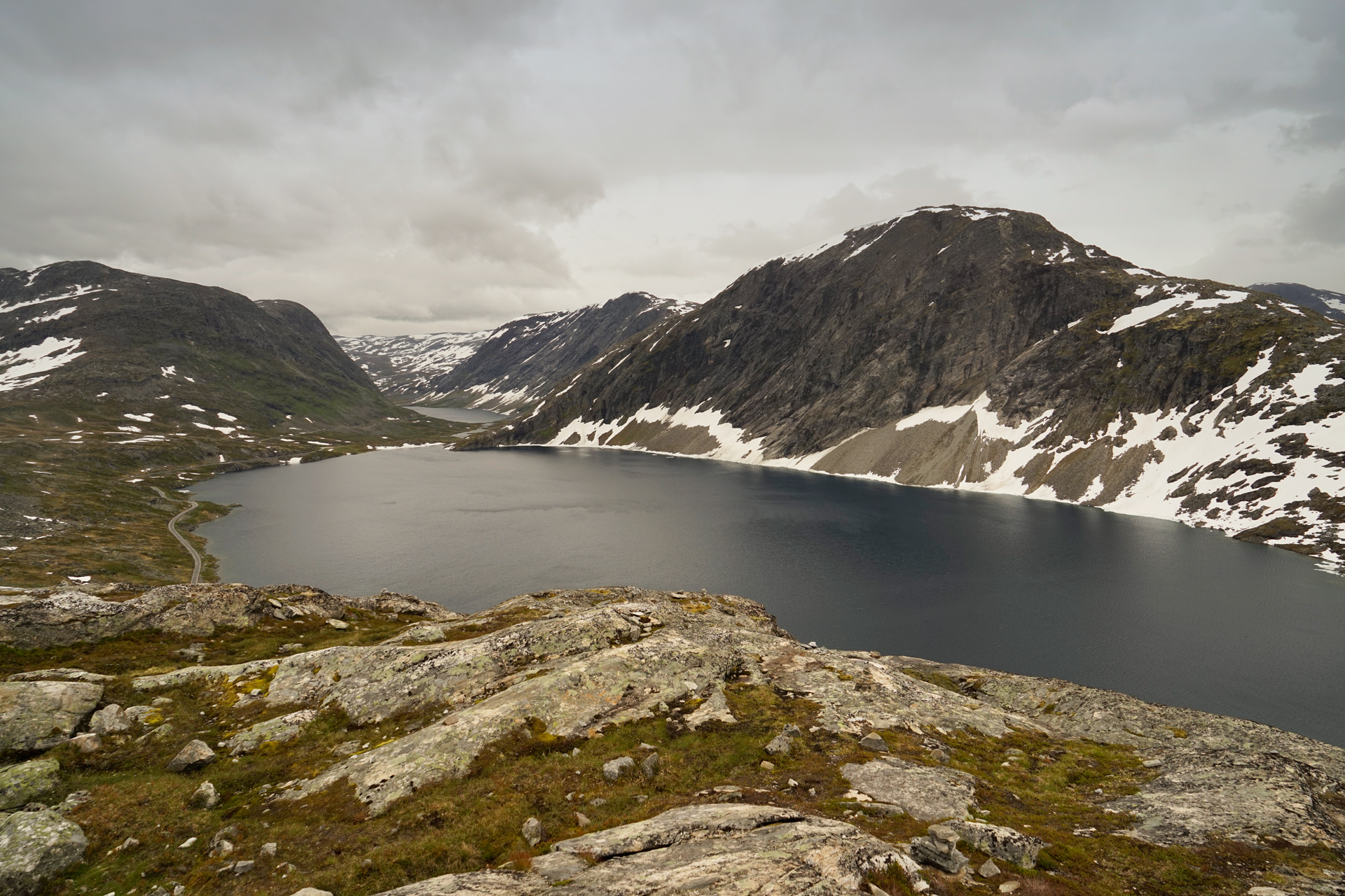
Djupvatnet: 62.031061, 7.277246
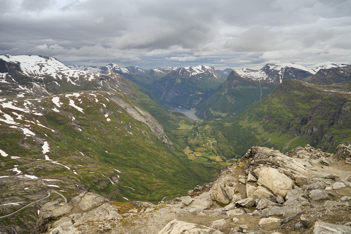
From the west edge of Djupvatnet, it is worth driving the well-paved road up to the summit of Dalsnibba Mountain, where you'll have amazing views towards the Geirangerfjord, a UNESCO World Heritage Site.
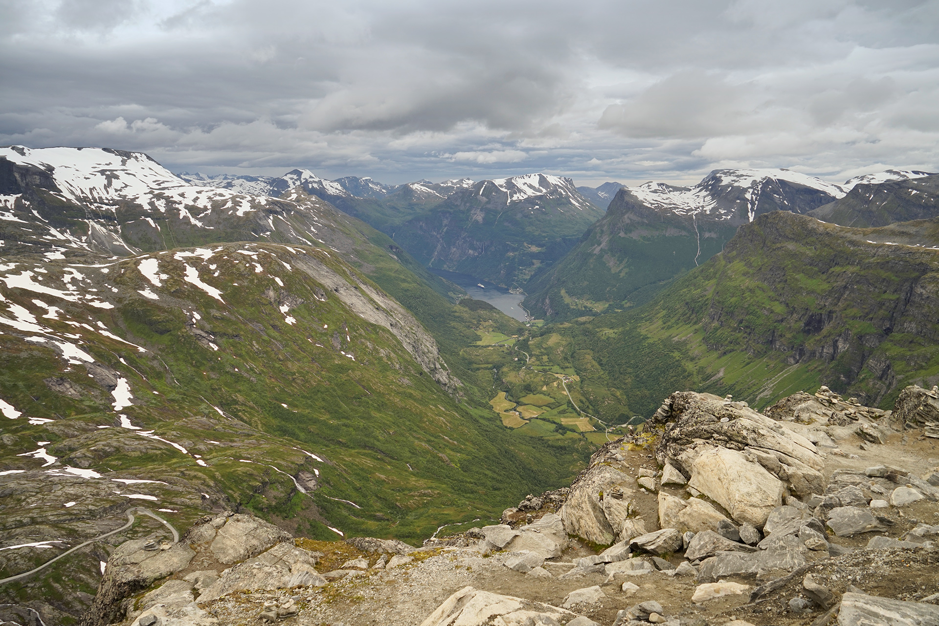
Dalsnibba Mountain Summit: 62.048689, 7.270007
After heading down Dalsnibba Mountain, the town of Geiranger is an excellent basecamp for activities on the Geirangerfjord.
You can take it easy by hopping on a cruise or work a little harder with a kayak tour in the fjords.
Driving Route from Balestrand to Geiranger
187 miles
Balestrand to Utsikten via Rv13
13 miles
Utsikten to Likholefossen via Rv13 (Gaularfjellet)
10 miles
Likholefossen to Moskog via Rv13
25 miles
Moskog to Byrkjelo via E39
32 miles
Byrkjelo to Stryn via Rv60
36 miles
Stryn to Oppstryn via Rv15
13 miles
Oppstryn to Dalsnibba Viewpoint via Rv15, Rv258 (Gamle Styrnefjellsvegen), and Rv63
45 miles
Dalsnibba to Geiranger via Rv63
13 miles
Geiranger-Trollstigen
The sheer volume of incredible scenery, amazing hikes of all levels, services, and accomodations makes the area between Geiranger and Åndalsnes one of the most visited destinations in Western Norway.
It is also relatively close to the city of Alesund, where you can fly in or out to other regional destinations.
Along the Geiranger-Trollstigen Route, you'll encounter some of the best modern architecture along The National Tourist Routes.
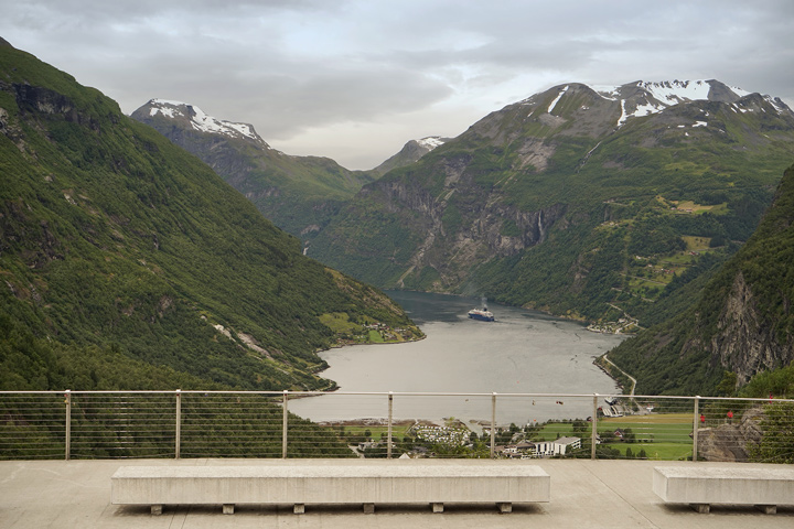
Flydalsjuvet is a rest area that marks the beginning of the route just south of Geiranger.
Here is a viewing platform and concrete benches overlooking the town of Geiranger and the waterfalls nearby.
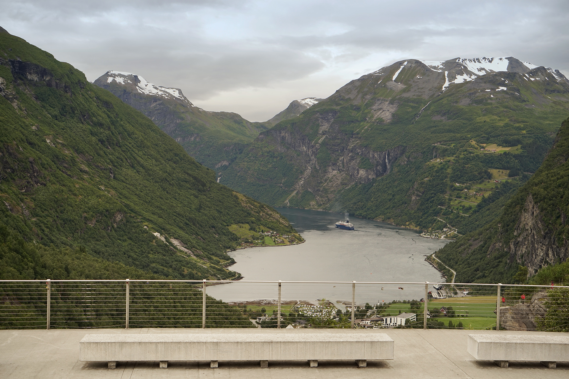
Flydalsjuvet: 62.090009, 7.223675
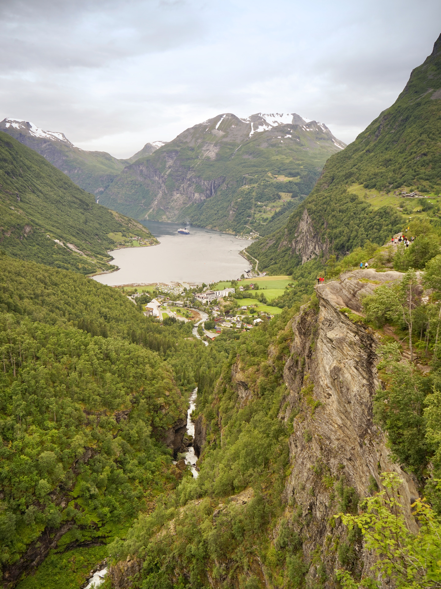
Just past Geiranger, Ørnesvingen is a road with eleven hairpin switchbacks leading to another viewing platform and rest area that overlooks the Geirangerfjord and Seven Sisters waterfalls.
You will arrive in Eidsdal coming down the mountain to the north and catch a ferry across the Norddalsfjorden where the Linge Ferjekai is located.
The town of Valldalen is situated east of the ferry terminal.
It's a good idea to get gas and stock up on your supplies here, since there are not many options in this stretch of valley south of Åndalsnes.
Continuing north from Valldalen, you can stretch your legs, grab a snack, and walk a short pathway to the waterfall at Gudbrandsjuvet.
There are nice views of the falls from inside the small cafe, and there is a campsite nearby if that's your thing.
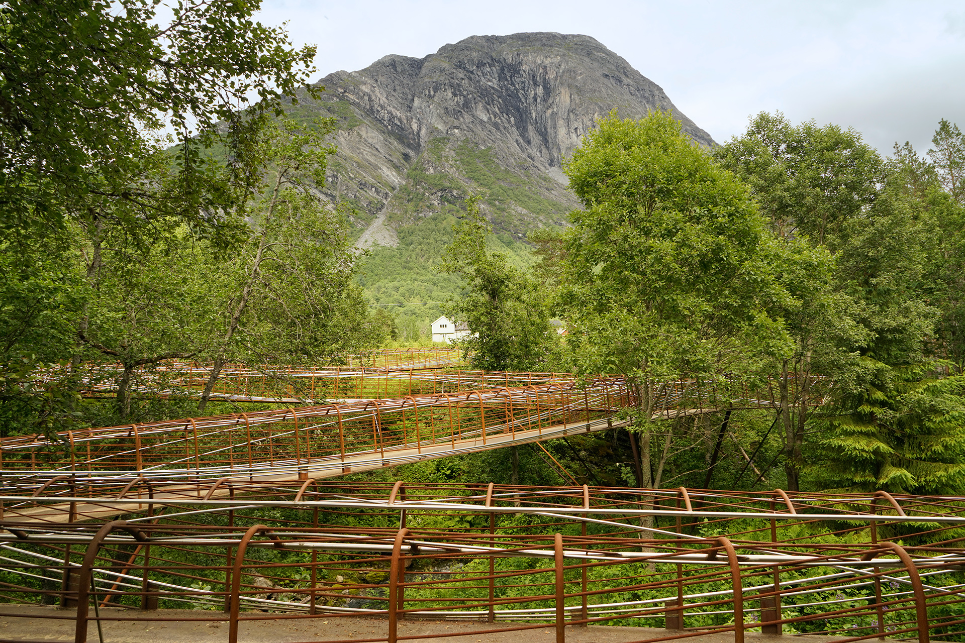
The Juvet Landscape Hotel, located across the road, is a more comfortable option.
If this place looks familiar, it is because some exterior shots for the movie Ex-Machina were filmed here.
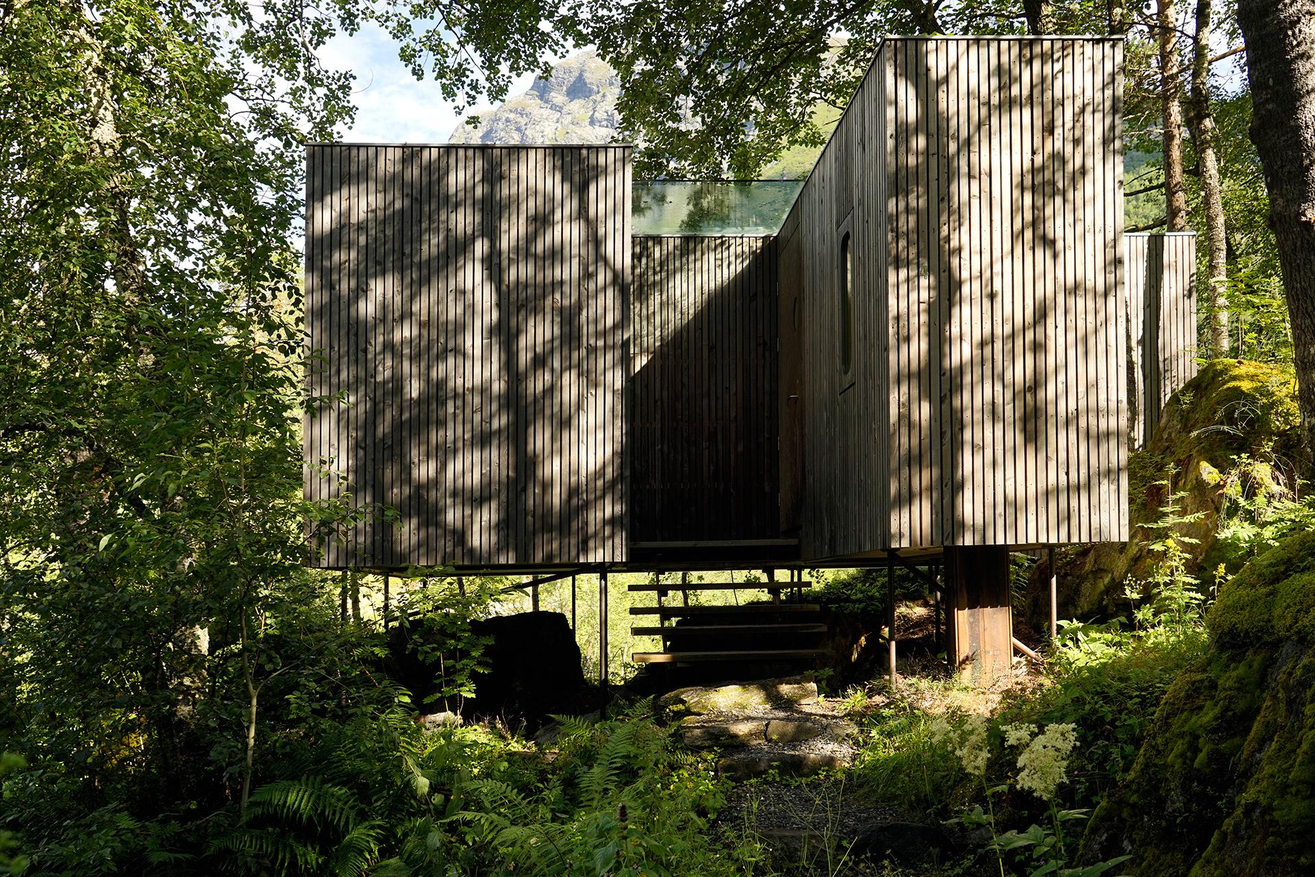
Scenically perched on a beautiful section of the Valldøla river bank, the Juvet has a few single and double-occupancy cabins for rent.
The rates are determined by the number of people in your party, and I found the prices reasonable for the experience of staying in a great work of modern architecture sited in the middle of the woods.
Single-occupancy cabins are situated further back in the hillside, while the double-occupancy cabins are raised on slender steel stilts next to the riverbank.
The double cabins feature floor-to-ceiling privacy glazing, and the view you'll get waking up will make you feel like the river is all yours.
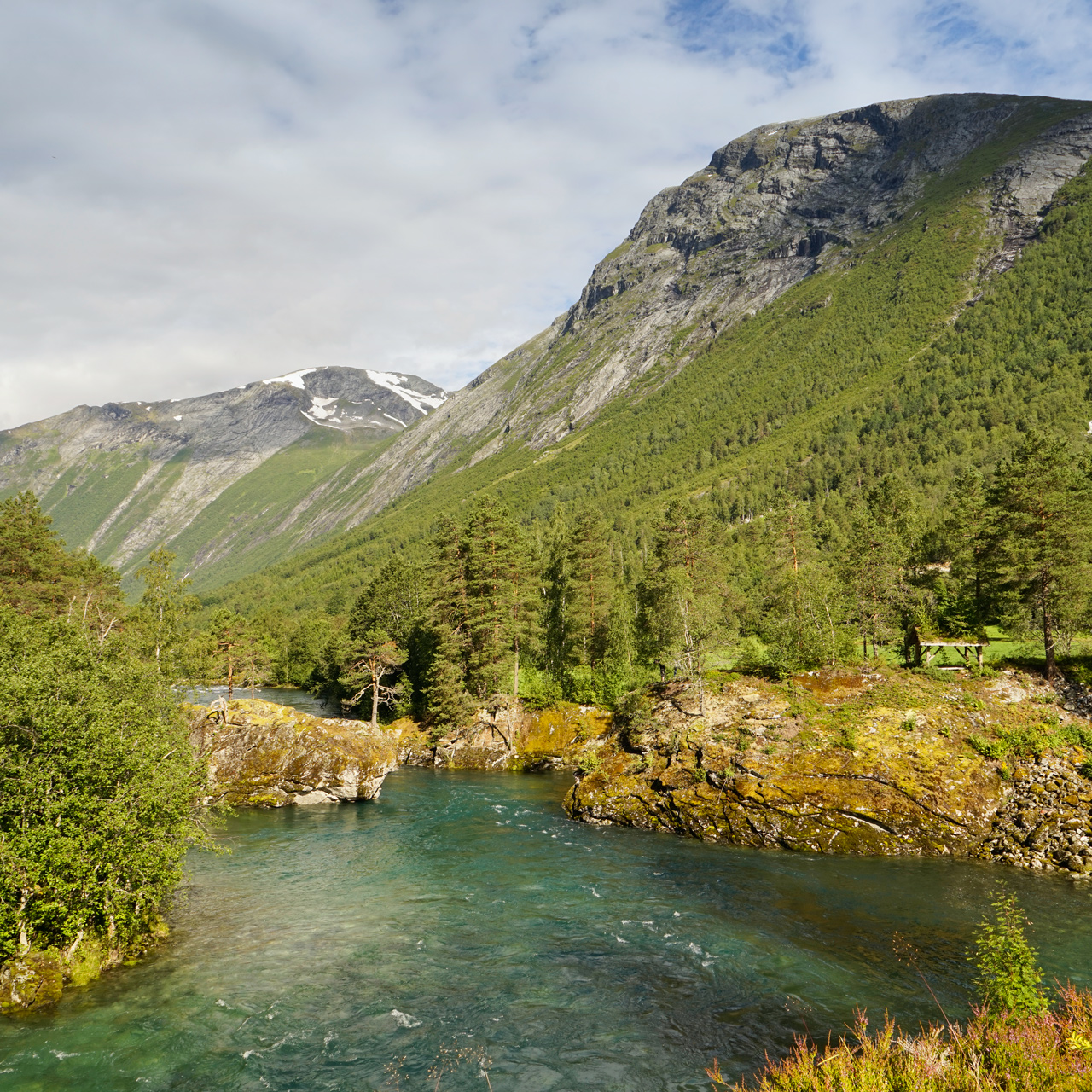
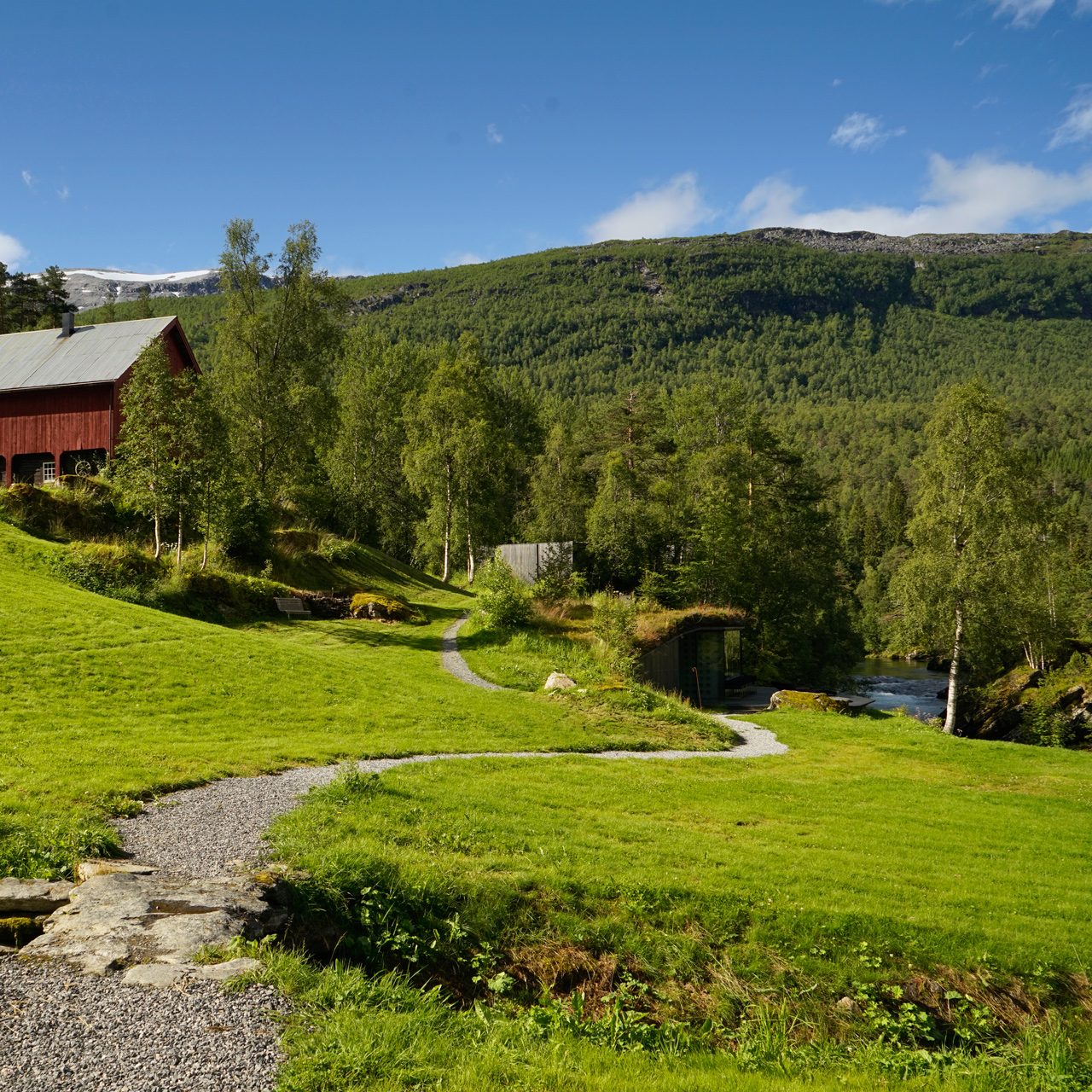
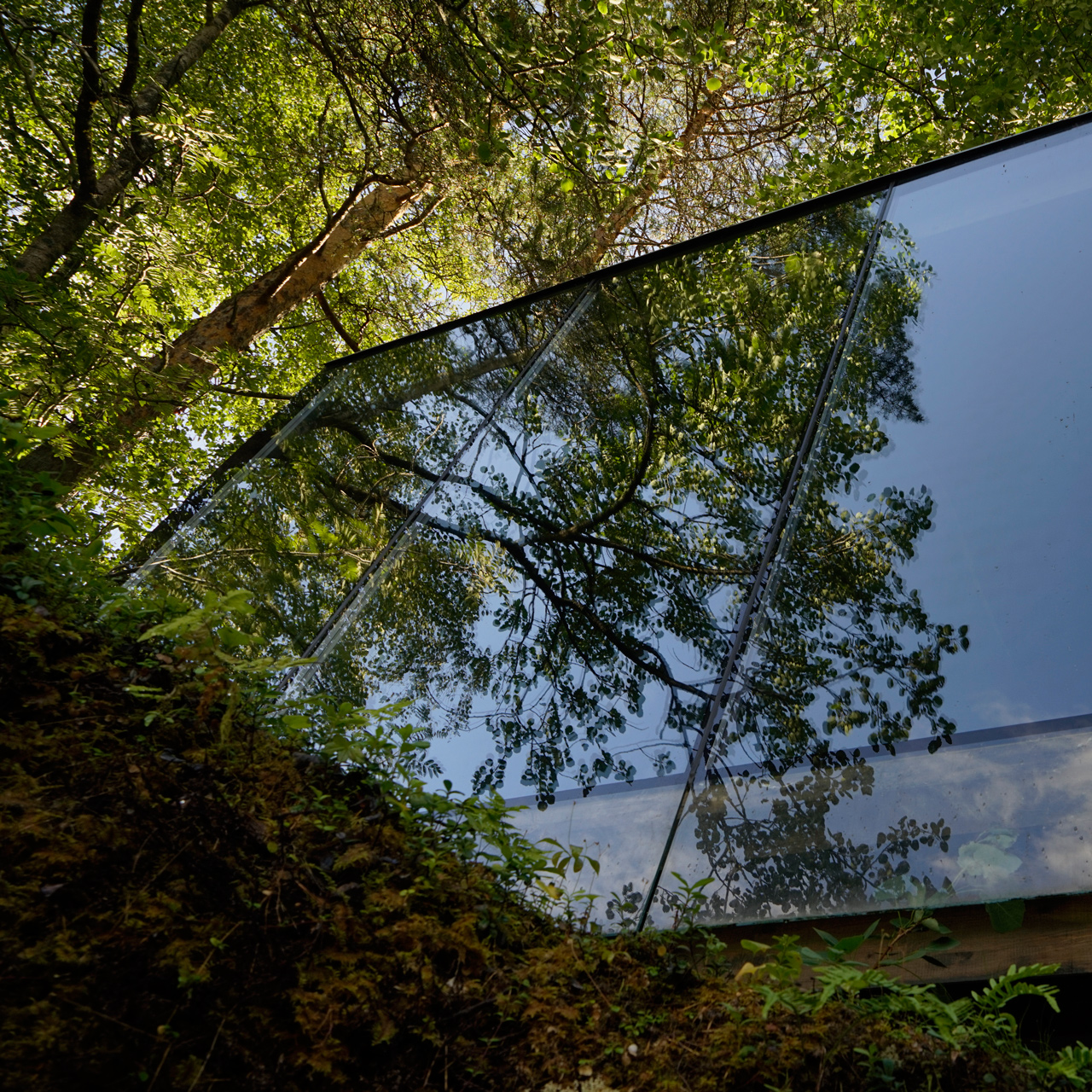
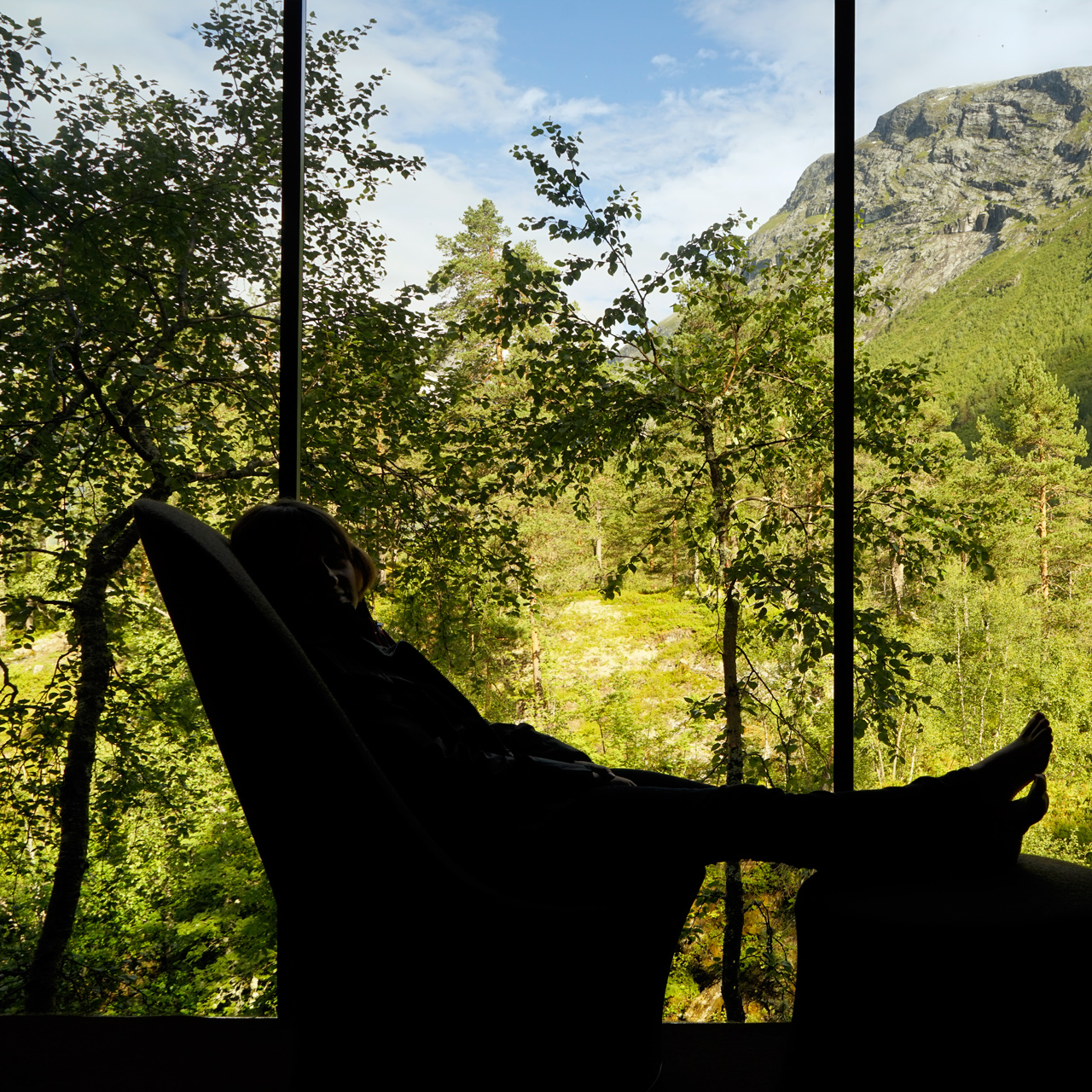
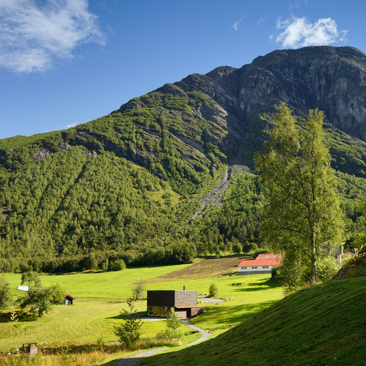
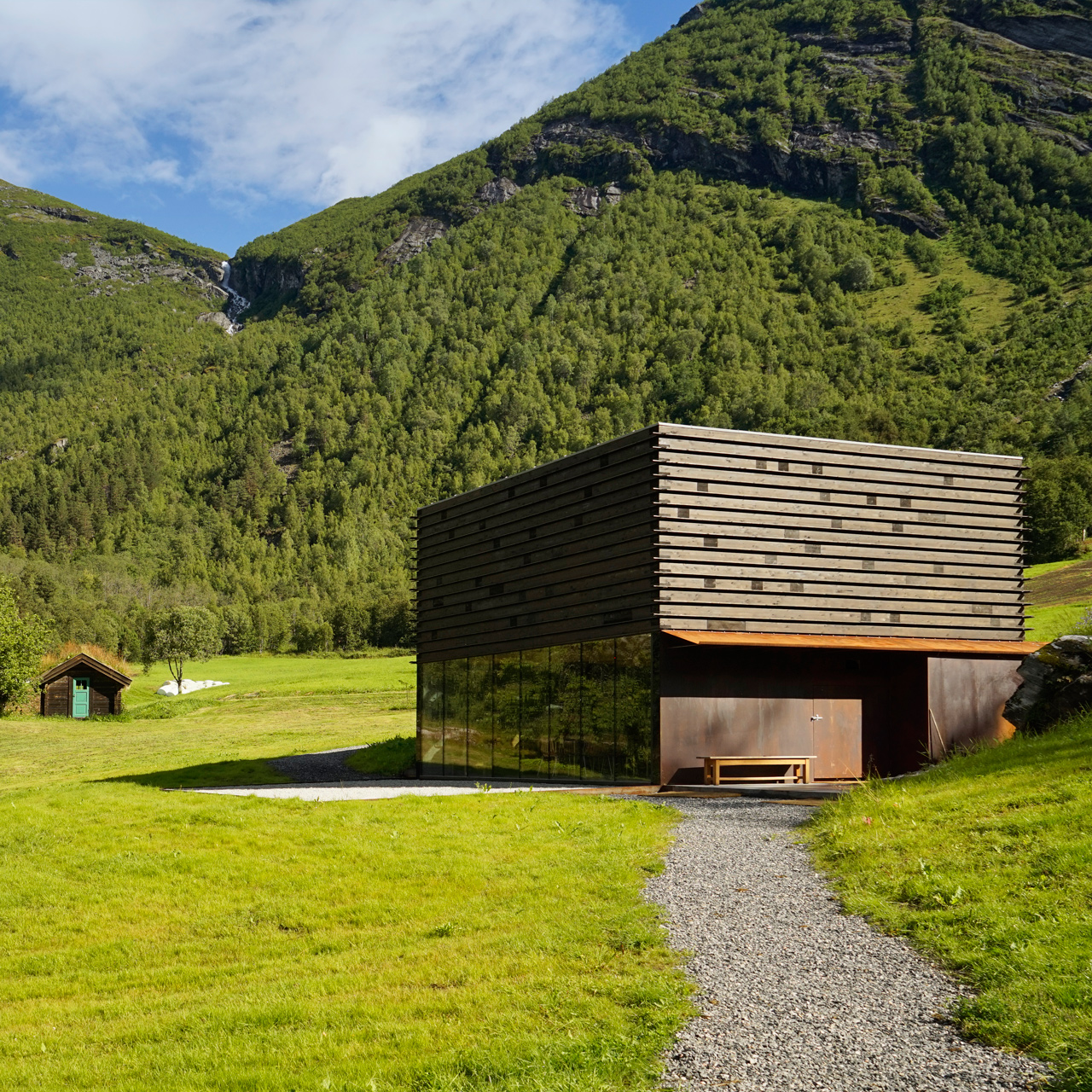
A simple breakfast buffet is served at the Juvet Landscape Hotel, and reservations are required for their fixed time, fixed price, communal dinner which features ingredients from local farmers.
They also have a spa that faces the Valldøla river valley and an outdoor hot tub to relax your sore muscles from all the great hikes nearby.
I found the staff incredibly helpful, and they go out of their way to make you feel comfortable.
Hands down, this is the most memorable place I've stayed in all my travels.
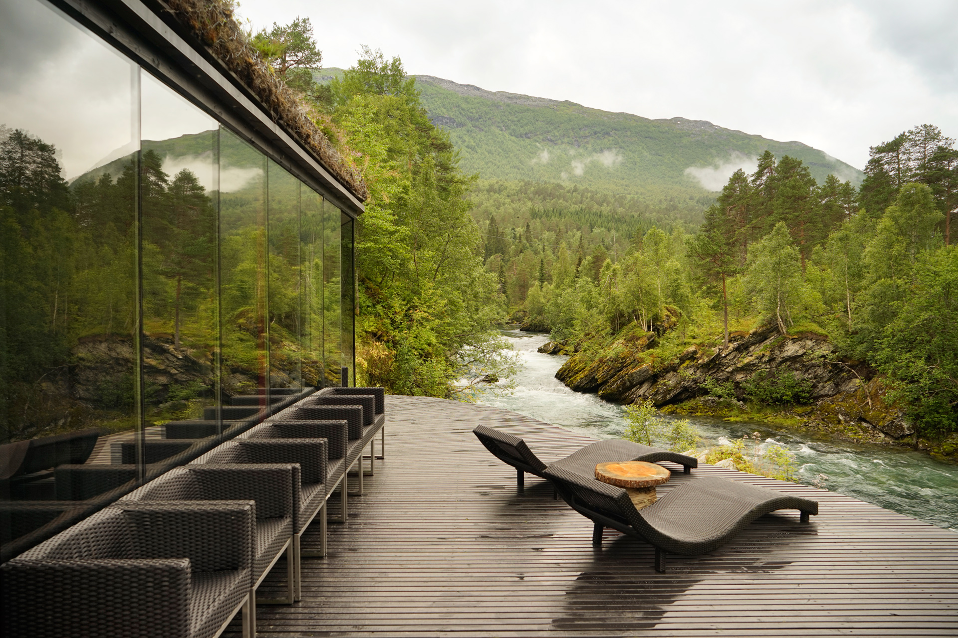
Juvet Landscape Hotel: 62.332593, 7.470817
It is difficult to overstate the natural beauty of Valldalen and especially the scenery along the Norwegian National Road 63 towards Åndalsnes.
There are some amazing hikes in the area, but you can literally just get out of your car at the pull-outs and admire the landscape.
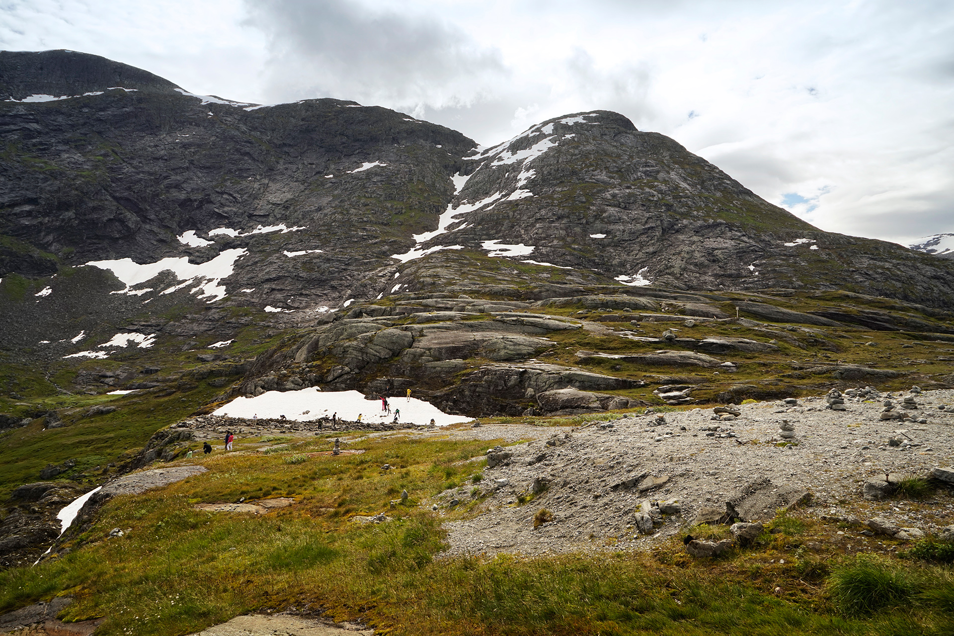
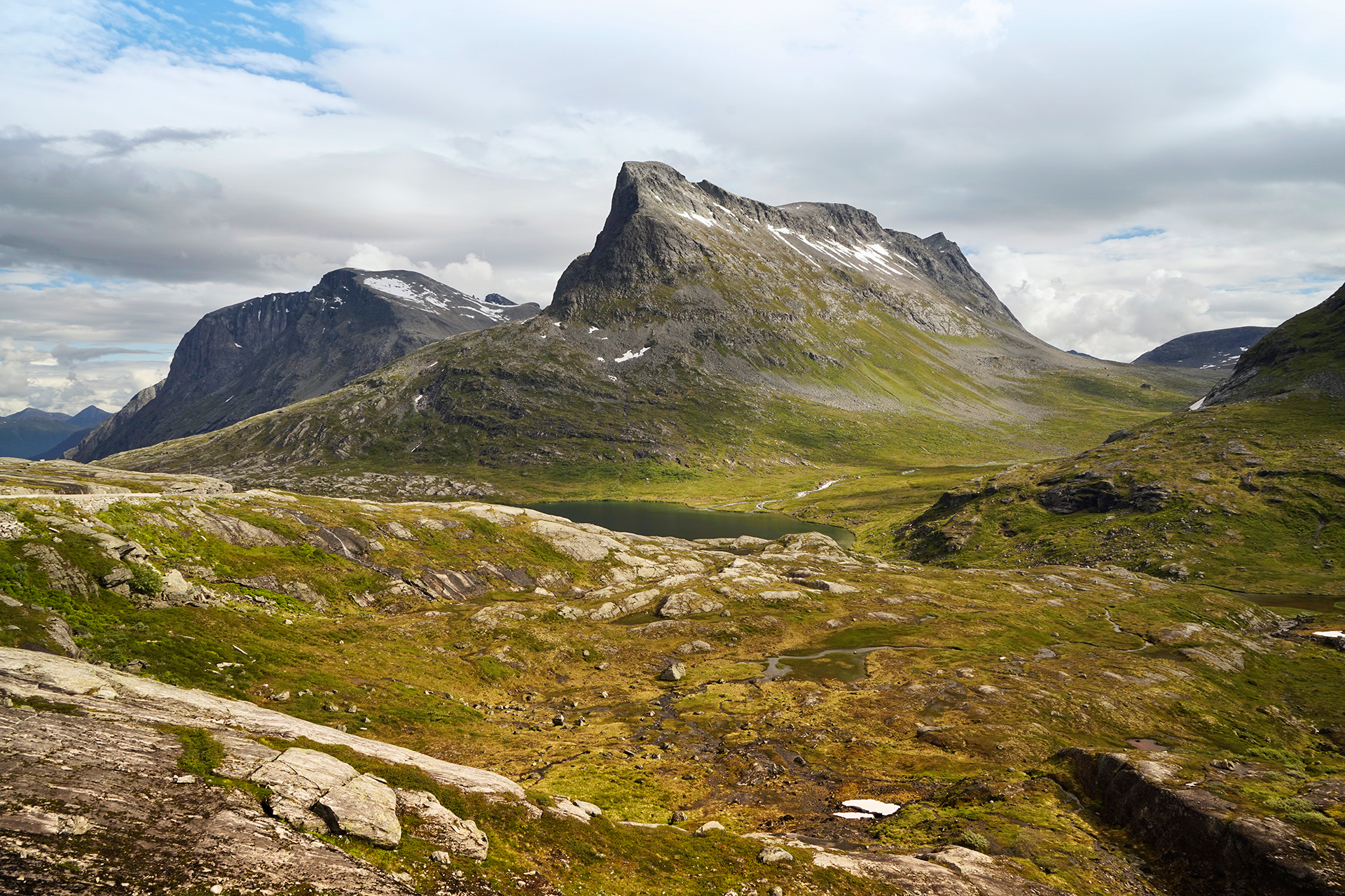
Trollstigheimen: 62.432331, 7.658211
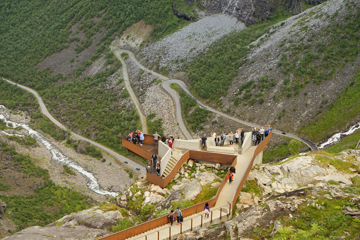
Marking the north end of the Geiranger-Trollstigen Route is the Trollstigen Cafe.
Here you will find a large cafeteria, rest area, and an amazing pedestrian platform cantilevered beside a waterfall with grand views of the Troll Wall and valley leading down to Åndalsnes.
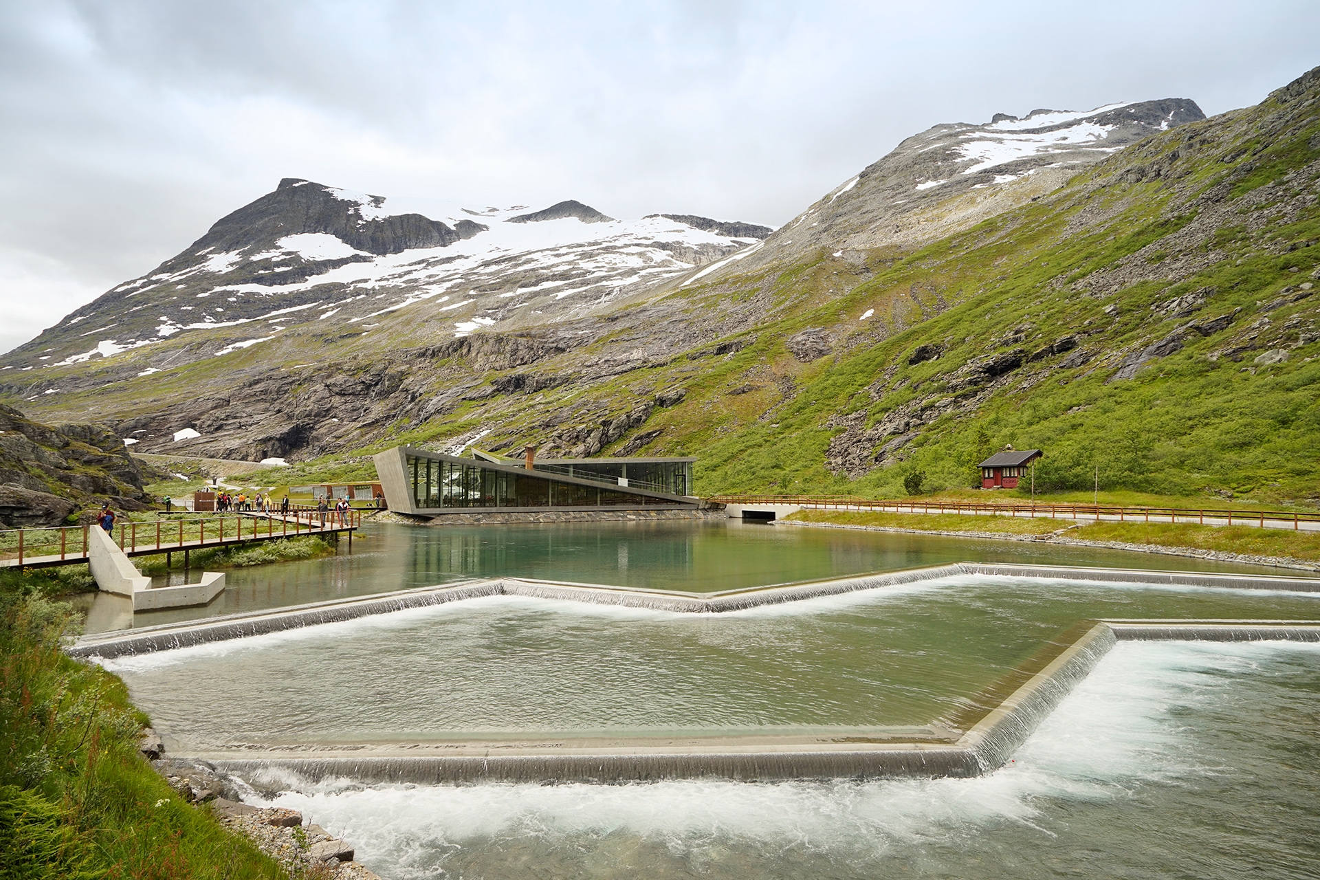
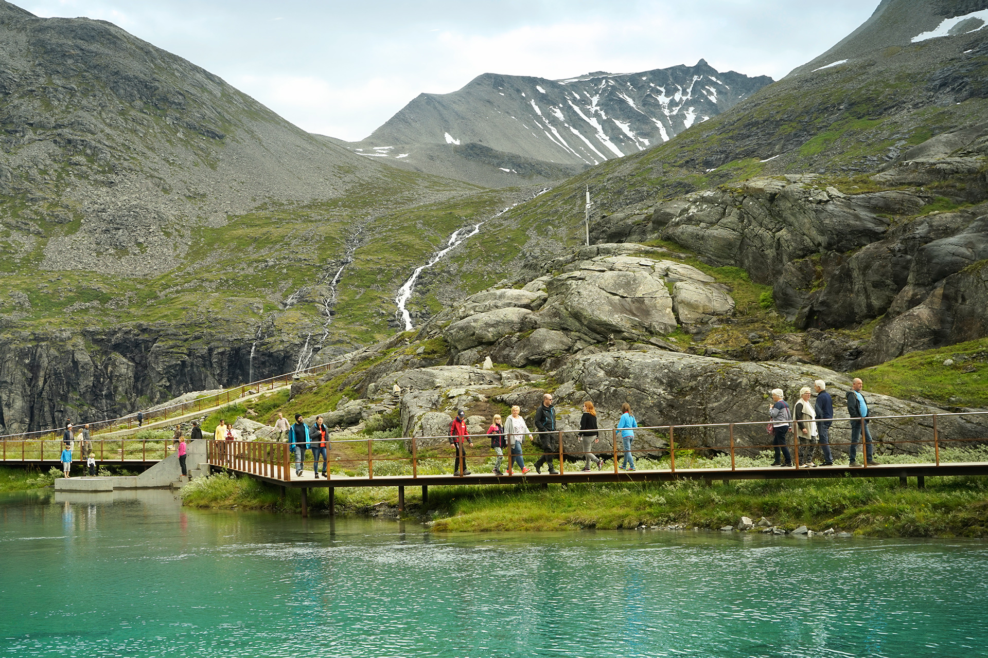
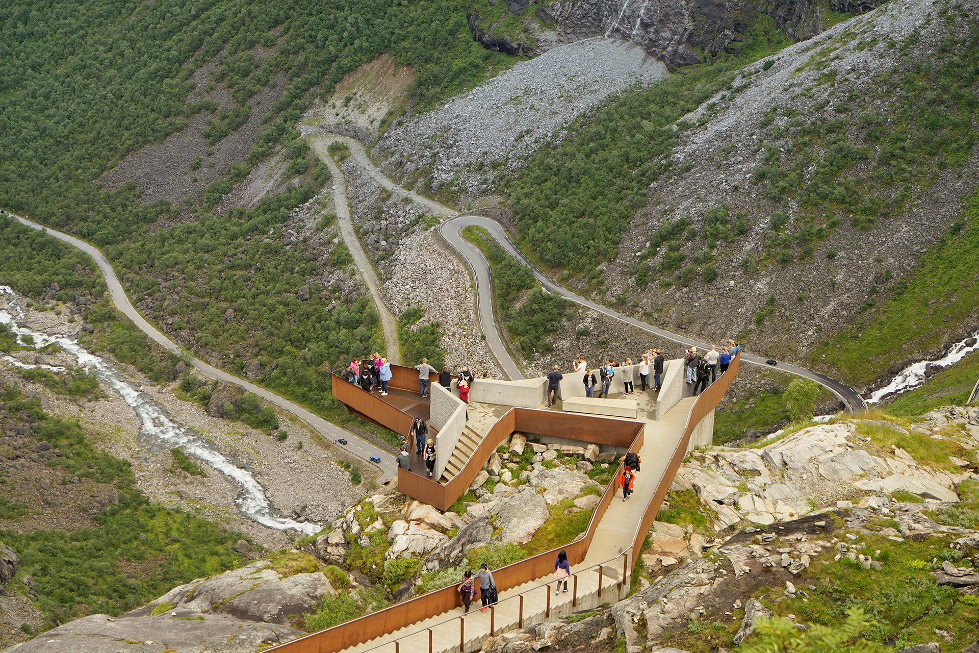
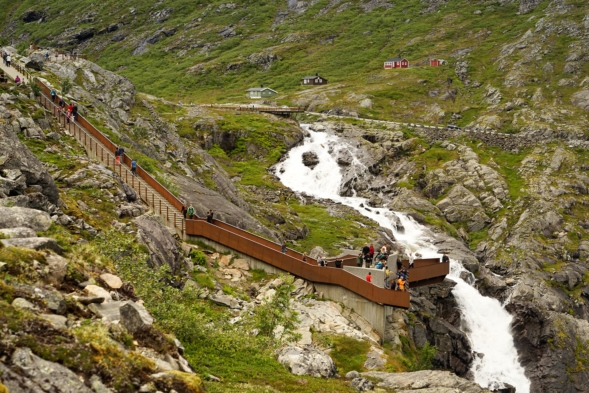
If you are heading north to Åndalsnes to stay the night or hike Romsdalseggen, then you will continue down the valley below.
Driving Route from Geiranger to Åndalsnes
51 miles
Geiranger to Eidsdal via Rv63
16 miles
Eidsdal-Linge Ferry
Linge Ferjekai to Gudbrandsjuvet or Juvet Landscape Hotel via Rv63
12 miles
Gudbrandsjuvet to Trollstigen Cafe via Rv63
12 miles
Trollstigen to Åndalsnes via Rv63, E136, and Rv64
11 miles
Hiking Romsdalseggen
6.5 miles one way, 3,182 feet vertical gain
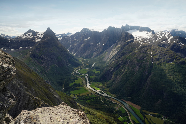
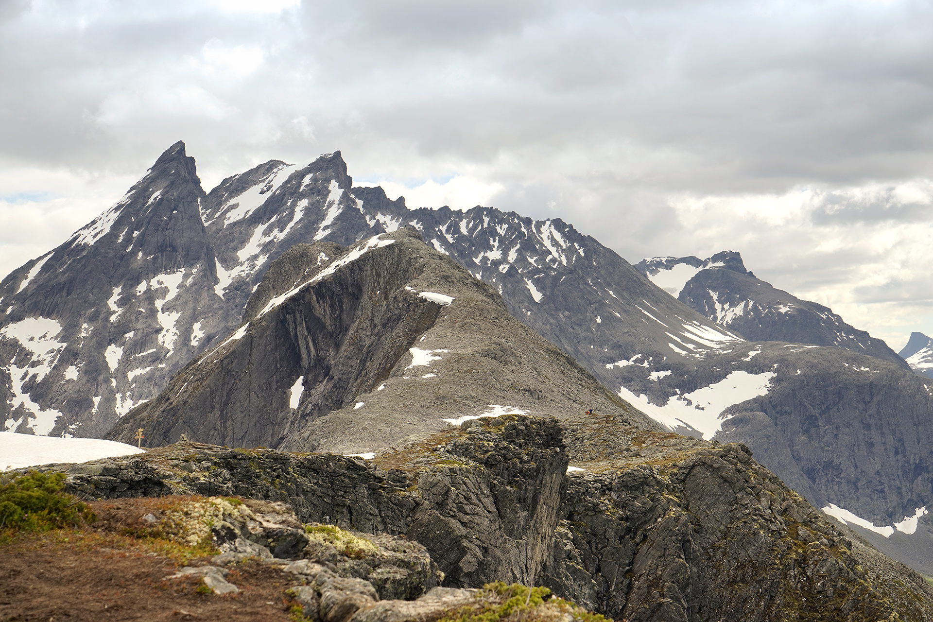
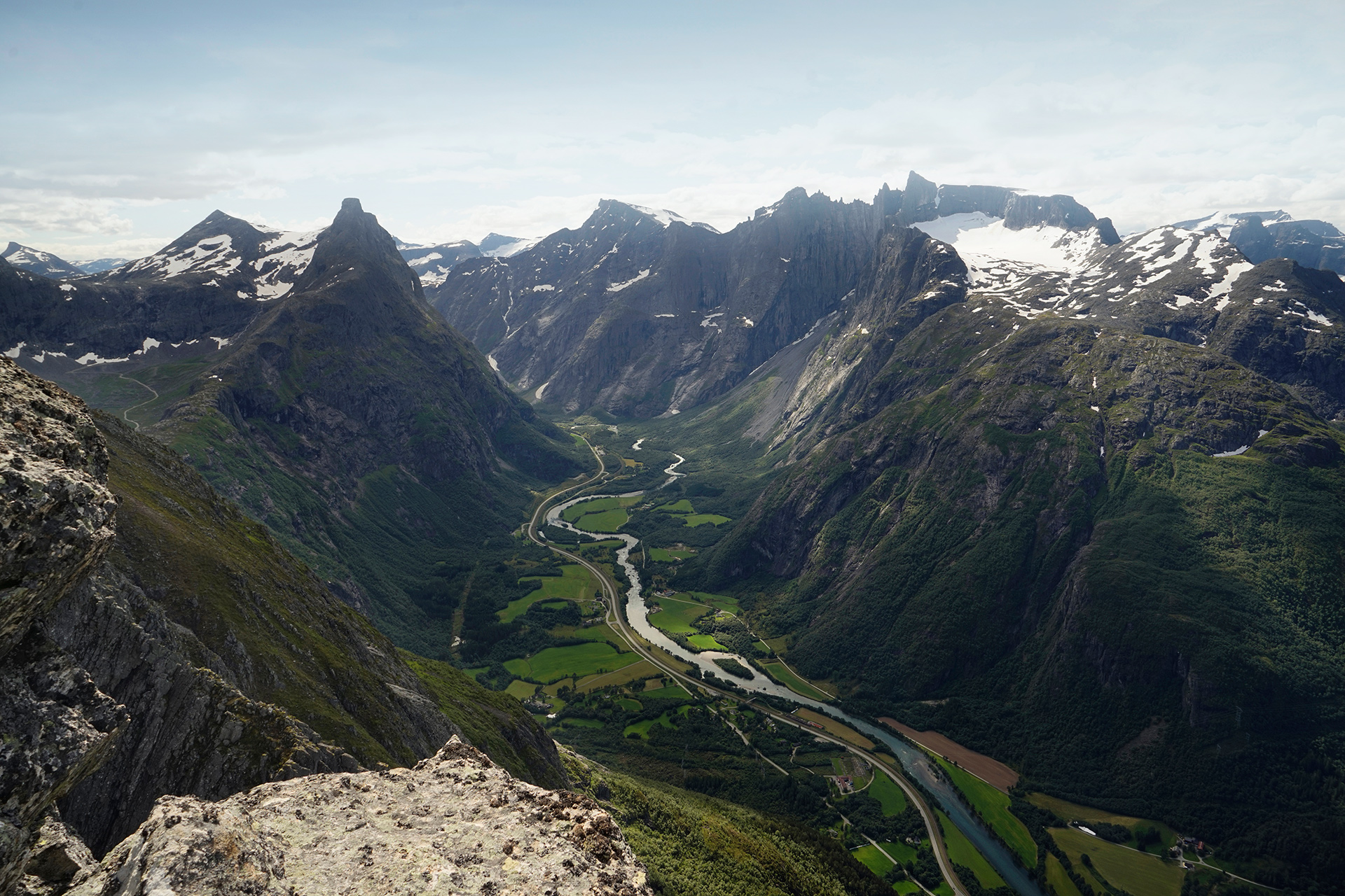
Romsdalseggen is one of the most beautiful hikes in all of Norway.
With an amazing diversity of landscapes and wide-open views of the Rauma River valley leading into the Romdalsfjorden, it is worth every sore muscle you'll get to hit this trail.
This hike does not sound too difficult on paper, but in practice, the terrain will challenge you from start to finish.
It involves a steep, muddy section, areas where you'll have to pay attention to marked cairns, some non-technical rock scrambling on a narrow ridge, and a punishing descent at the end.
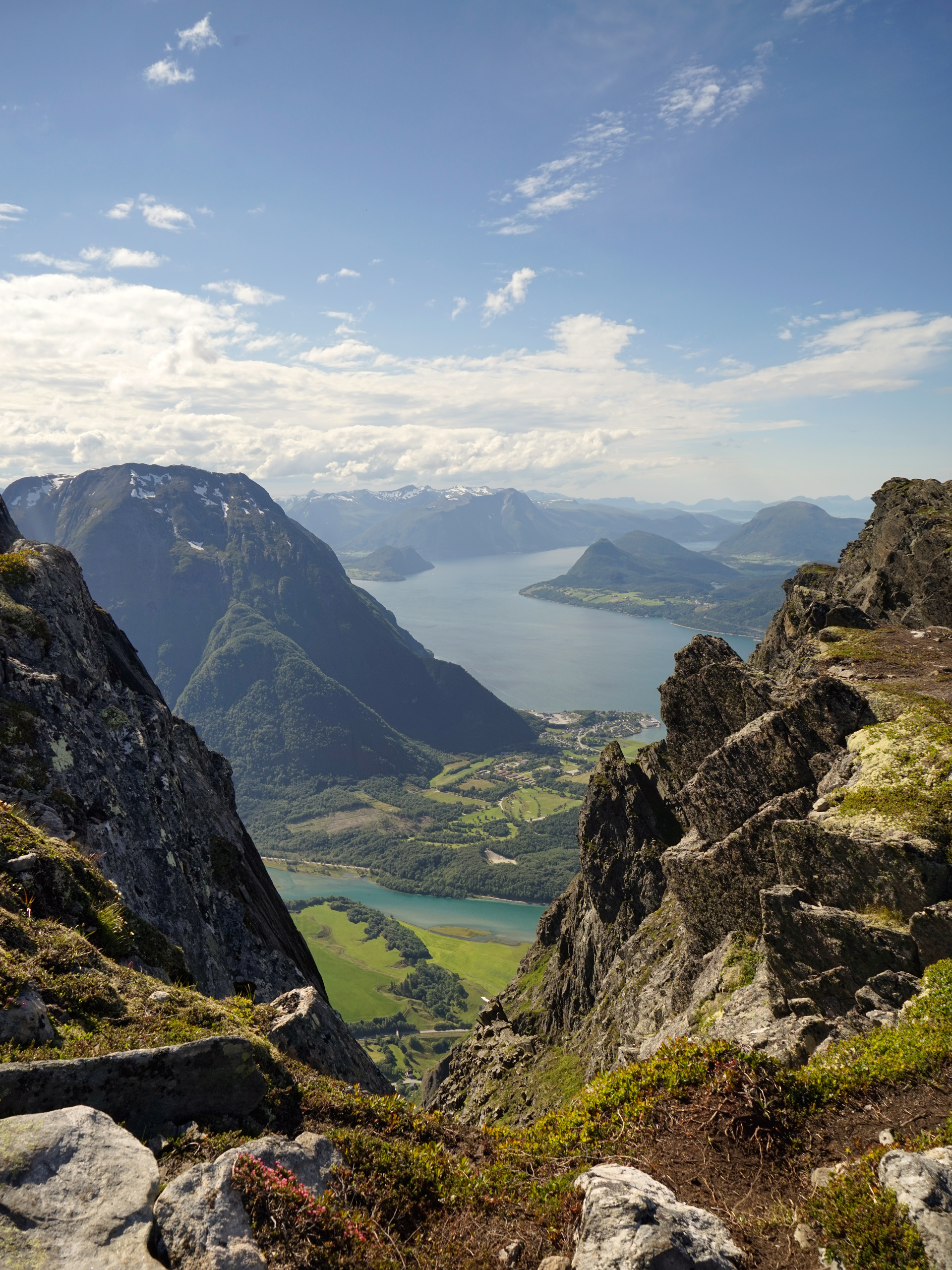
The bus station is located in Åndalsnes: 62.567508, 7.690263, and the hike starts in Vengedal: 62.536370, 7.825997
Tverrfjellhytta
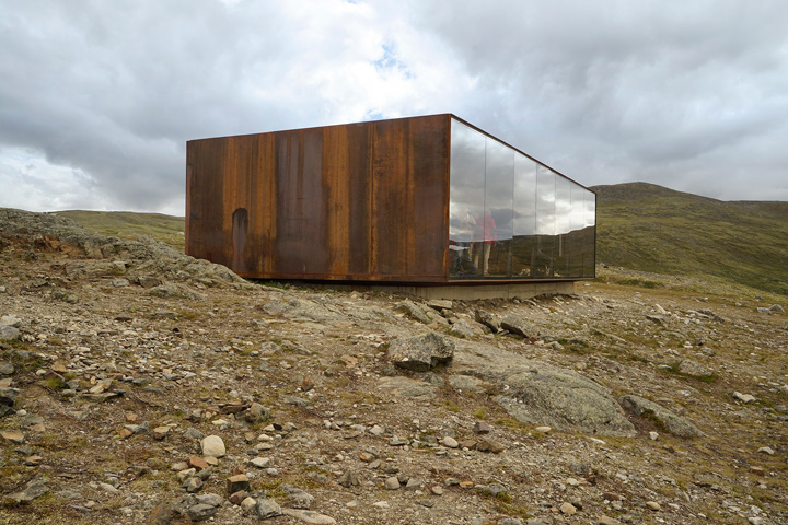
After spending a few days at The Juvet Landscape Hotel, the next stop on my itinerary was Tverrfjellhytta, a reindeer viewing pavilion near Hjerkinn.
It is also known as Viewpoint Snøhetta- named after the architecture firm that designed it.
The long drive between Åndalsnes and Hjerkinn was not very notable, but if you are a fan of modern Scandinavian architecture, this is a required stop.
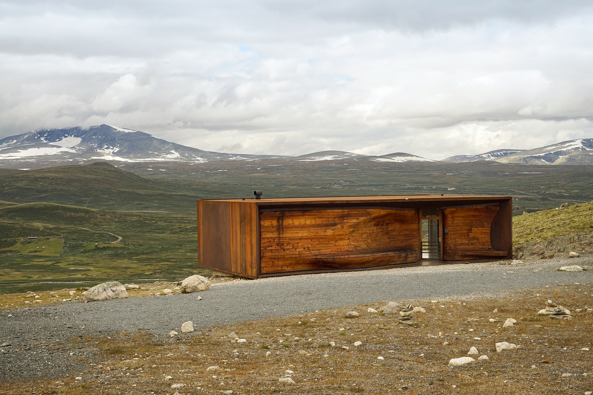
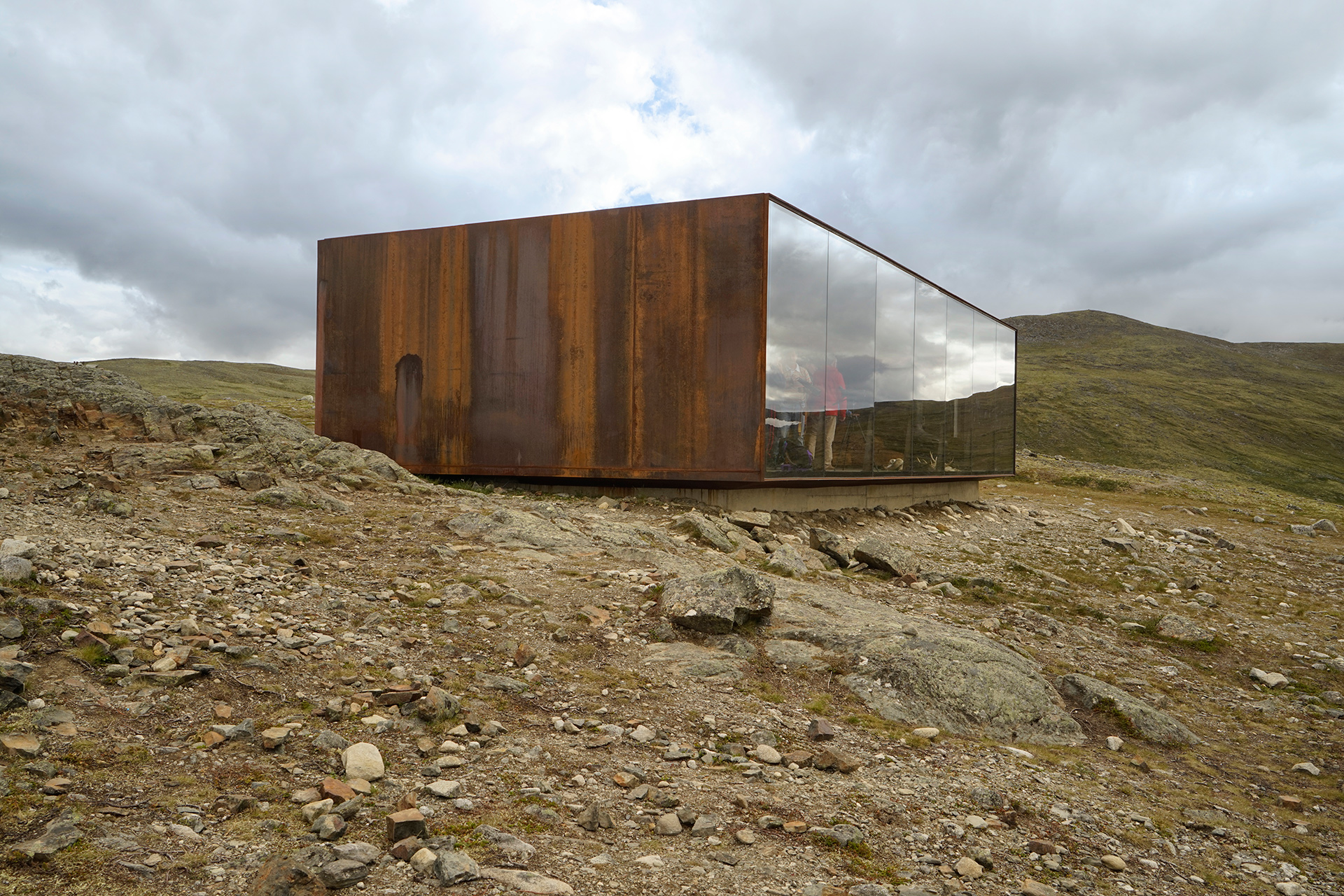
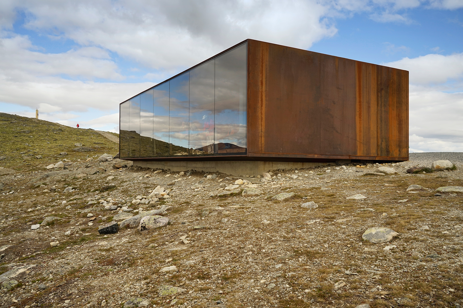
The Google Maps directions will lay out a direct path from the main road in Hjerkinn to the pavilion, but in reality this is not possible.
Instead, you will be following the signs along the road to a broad parking area that has a restroom, and from there, it's about a half-mile walk up a hill to reach the pavilion.
Be sure to check the visiting hours of Tverrfjellhytta if you want to go inside.
I did not see any reindeer when I visited, but there were several musk-ox cooling off in the snowy distance.
Driving Route from Åndalsnes to Tverrfjellhytta
85 miles
Åndalsnes to Dombås via Rv64 and E136
66 miles
Dombås to Hjerkinn via E6
19 miles
Lom
Lom is a small mountain town in the heart of Oppland, Central Norway.
It is the northern gateway to Jotunheimen National Park, which is home to the two highest peaks in Norway, Galdhøpiggen and Glittertind.
The Bøvra River runs through the town, and an old stave church at its center is one of the main attractions.
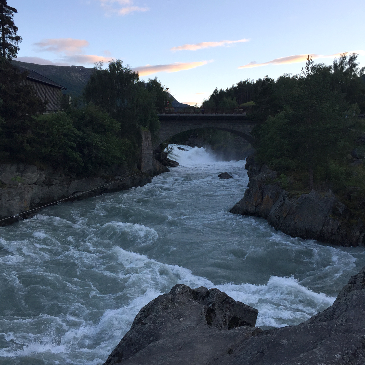
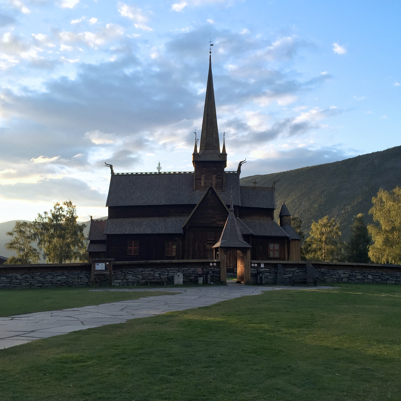
Inspired to visit Lom after reading a magazine article about restaurants in the area, I am only disappointed that I did not stay at least a night or two here.
Less than 90 minutes drive to Gjendebåten, staying in Lom is a viable option if you plan on hiking the Besseggen Ridge.
On my trips to Lom from nearby Dovre and Vågåmo, I ate at Fossheim Hotel Restaurant and Bakeriet i Lom.
Everything at the Fossheim was great, and I loved their bread and butter so much, I asked to take more to go.
At Bakeriet i Lom, which I visited twice, I had to exercise considerable restraint to not order every pastry on display.
Their coffee was also very good, and you can also order some delicious pizza and hamburgers at their outdoor grill.
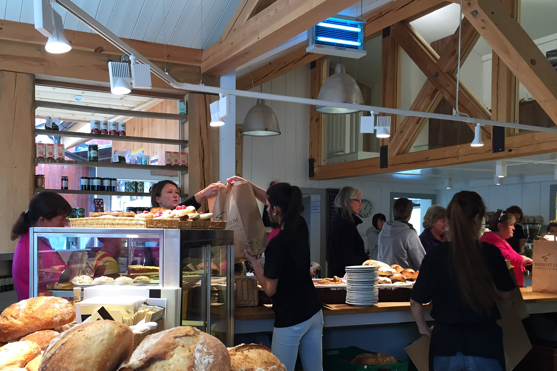
Bakeriet i Lom: 61.837632, 8.568213
Driving Route from Tverrfjellhytta to Lom
91.5 miles
Hjerkinn to Dombås via E6
24 miles
Dombås to Otta via E6
29.5 miles
Otta to Lom via E15
38 miles
Hiking Besseggen
8 miles one way, 2,500 feet vertical gain
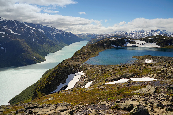
Located on the eastern edge of Jotunheimen National Park, the Besseggen Ridge is one of the most popular trails in Norway, but like Romsdalseggen, popular does not mean easy when it comes to hiking in Norway.
Portions of this trail are very steep, and the only way up involves some non-technical rock scrambling and use of anchored chains.
The payoff translates to amazing views of blue and turquoise alpine lakes, and you may even run across a herd of reindeer along the way.
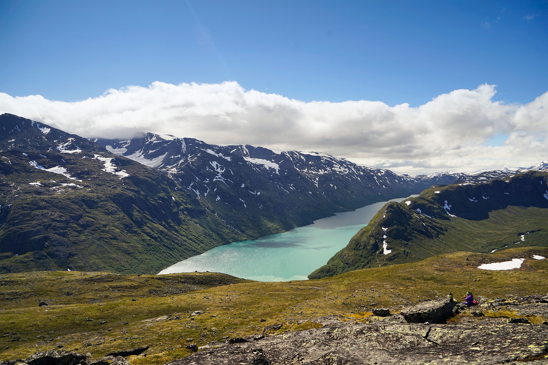
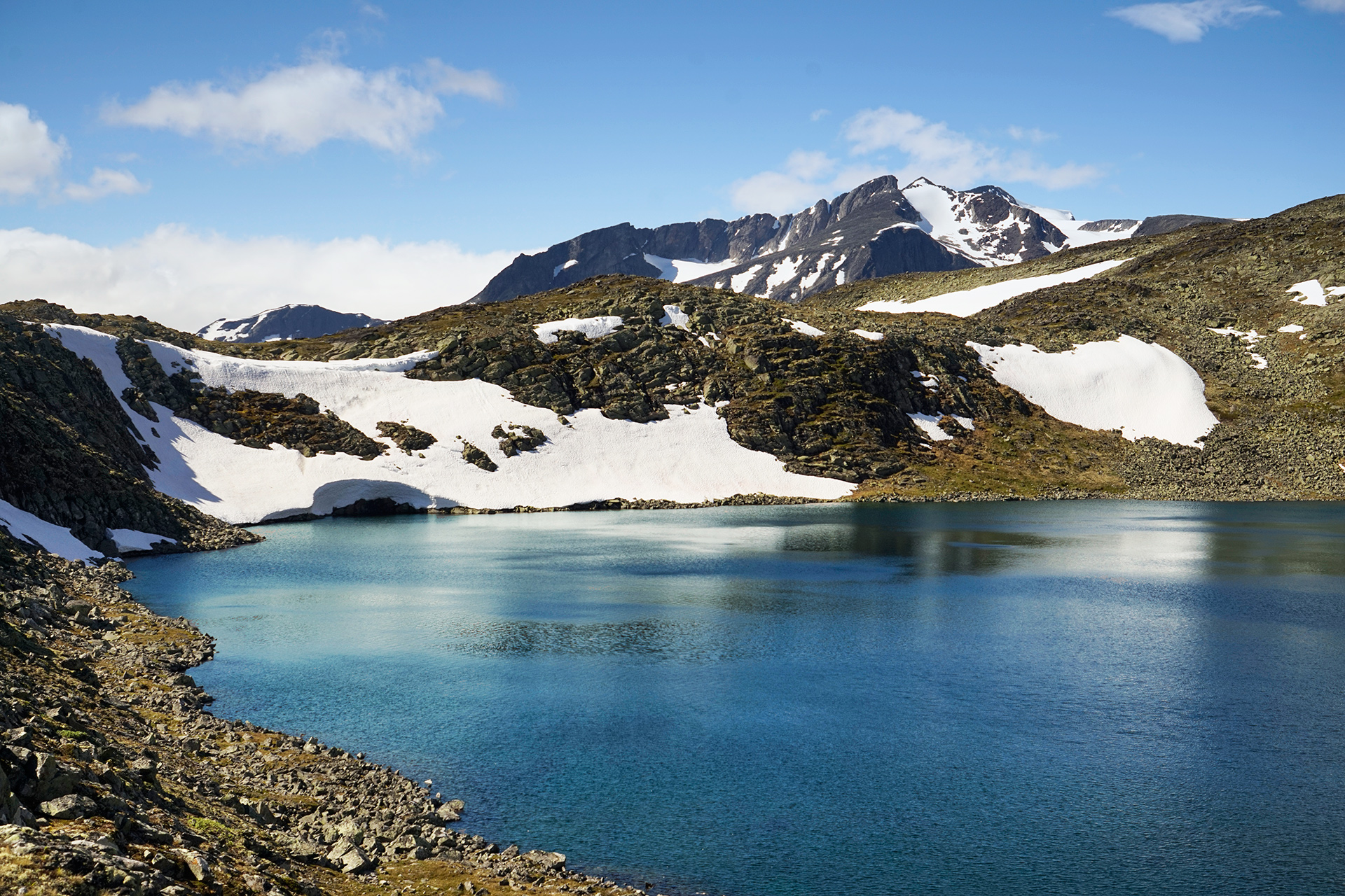
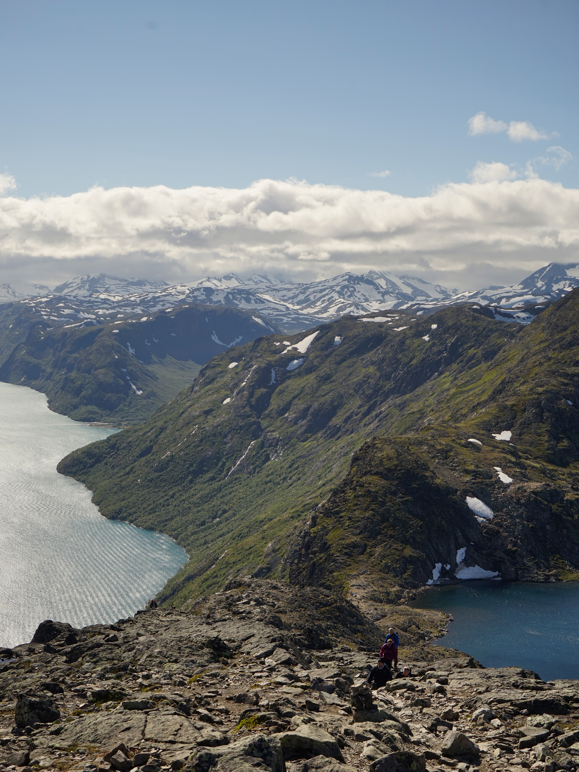
The hiking boat is located in Gjendesheim: 61.495225, 8.809655, and the hike starts in Memurubu: 61.491775, 8.627728
Driving Route from Lom to Gjendesheim Ferry
45 miles
Lom to Tessand via Rv15
13 miles
Tessand to Gjendesheim Ferry via Rv51
32 miles
Sognefjellet
For a day trip southwest of Lom, it is worth exploring the northern sections of Jotunheimen National Park and seeing the National Tourist Route attractions of Sognefjellet.
Alternately, you can take this high mountain route as the first leg of an all-day drive toward Øvre Eidfjord.
Liasanden Rasteplass is the first rest stop heading southwest from Lom along Rv55.
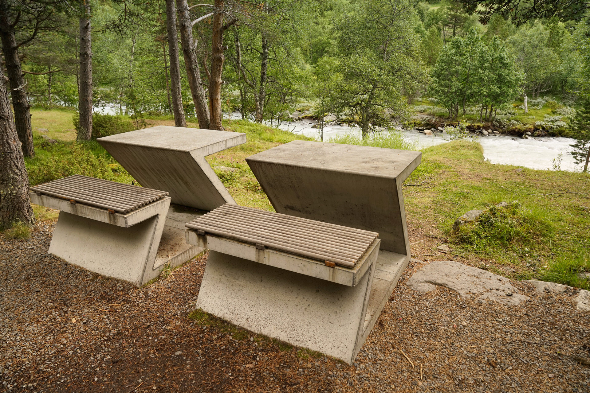
Liasanden Rasteplass: 61.679578, 8.226403
The scenery really opens up at Vegaskjelet, a walkway situated above the trees for views of the tall peaks of Skarsnebb and Steinetind.
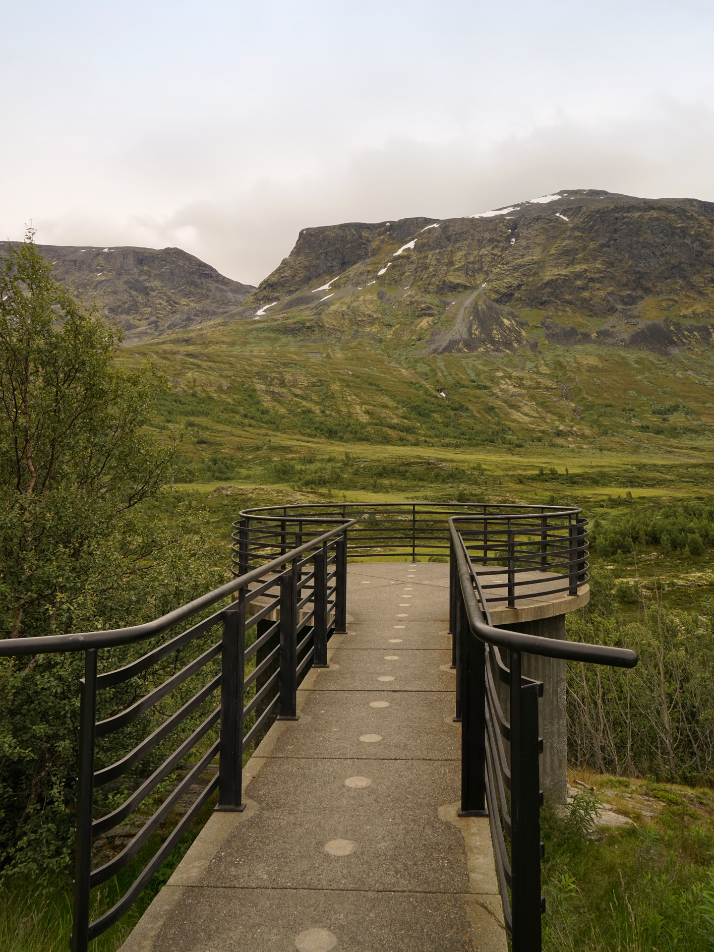
Vegaskjelet: 61.665275, 8.185142
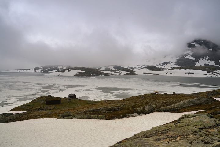
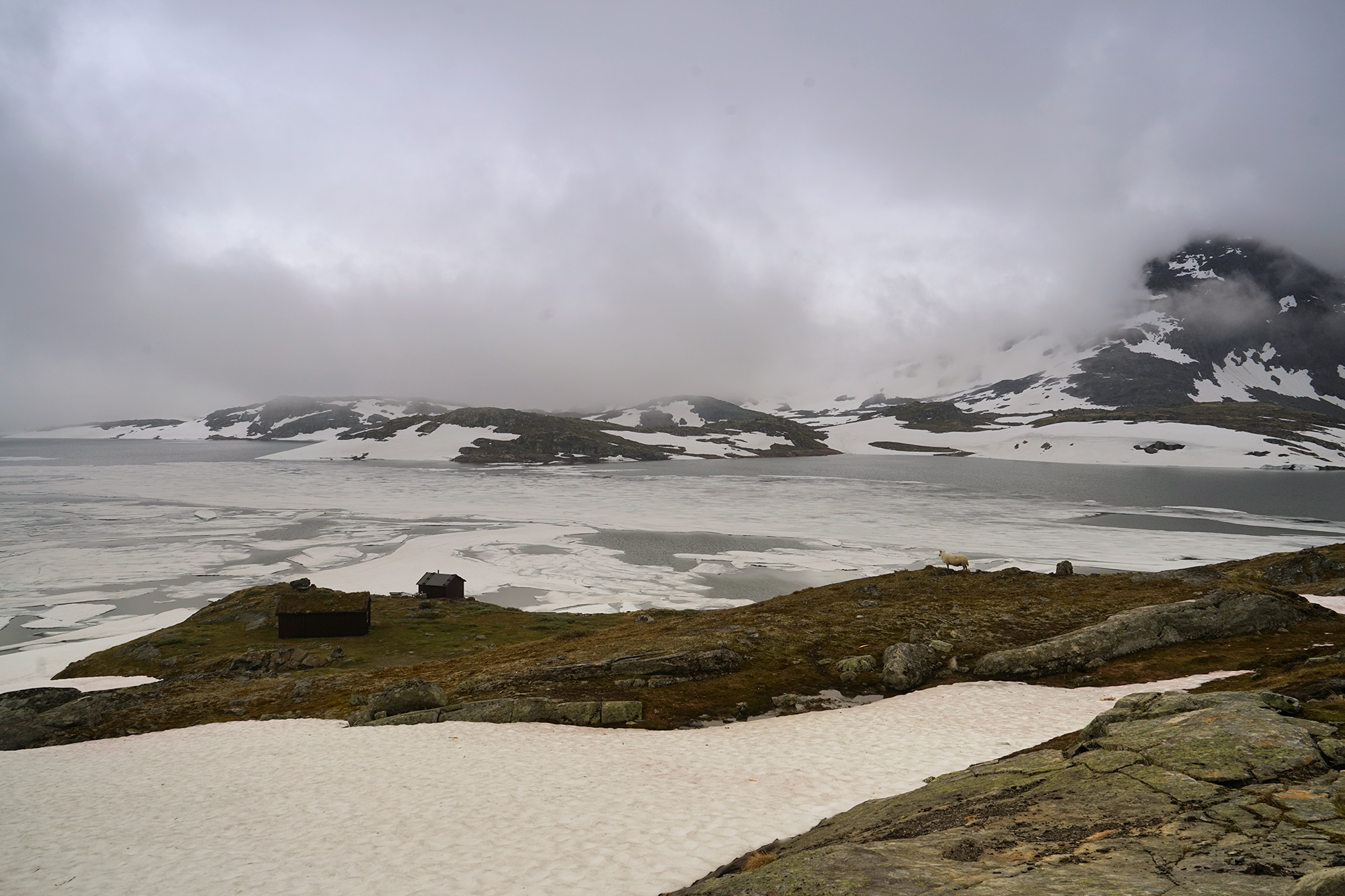
Sognefjellshytta is a summer ski center with a restaurant further up the mountains.
The lake views next to the ski area were really nice in the fog, and for that alone, it was worth a stop.
You'll get some of your best views of the Sognefjellet Mountains at Nedre Oscarshaug, an installation made of rotating glass panels.
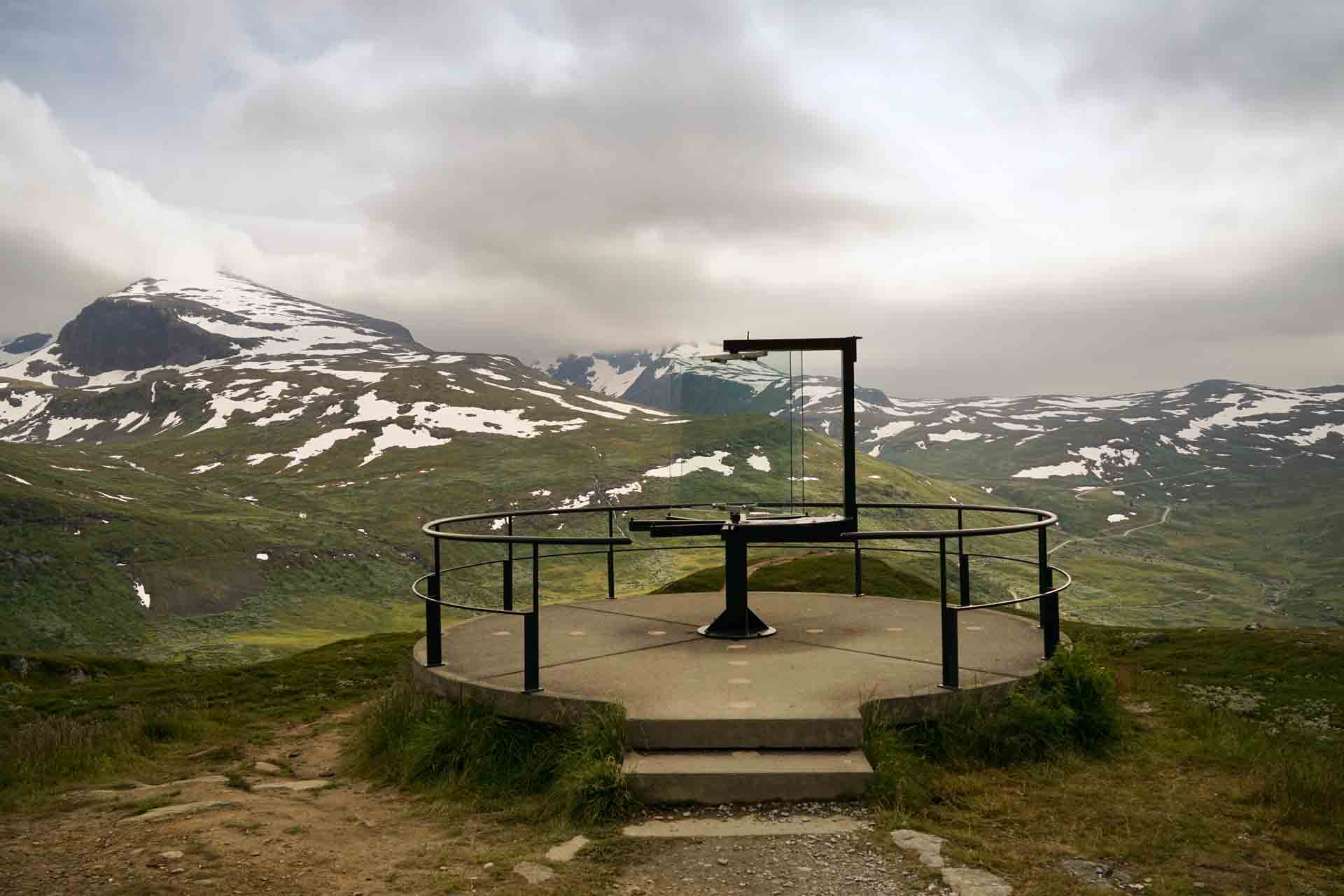
Nedre-Oscarshaug: 61.508289, 7.810987
Driving Route from Lom to Nedre Oscarshaug
74.2 miles
Lom to Liasanden Rasteplass via Rv55
17.5 miles
Liasanden Rasteplass to Vegaskjelet via Rv55
1.7 miles
Vegaskjelet to Sognefjellshytta via Rv55
13.3 miles
Sognefjellshytta to Mefjellet Rasteplass via Rv55
1.5 miles
Mefjellet Rasteplass to Nedre Oscarshaug via Rv55
7.2 miles
Øvre Eidfjord
Øvre Eidfjord is a small town only a few hours drive from Bergen that is centrally located between Hardangervidda National Park and the Trolltunga hiking area.
Also nearby is Vøringfossen, one of the most famous waterfalls in Norway.
Driving one way and visiting the sights from the Jotunheimen area to Øvre Eidfjord will take an entire day of your schedule.
Starting from Lom, you can head west to explore Sognefjellet.
Alternately, starting from Vågå, you can head south and drive through the desolate road north of Hardangervidda National Park.
A reasonably priced place to stay on the water's edge is the Quality Hotel & Resort Vøringfoss.
Within a short walking distance is a grocery store, cafes, and a campsite that has a few washing machines.
The tourist center nearby also offers various excursions.
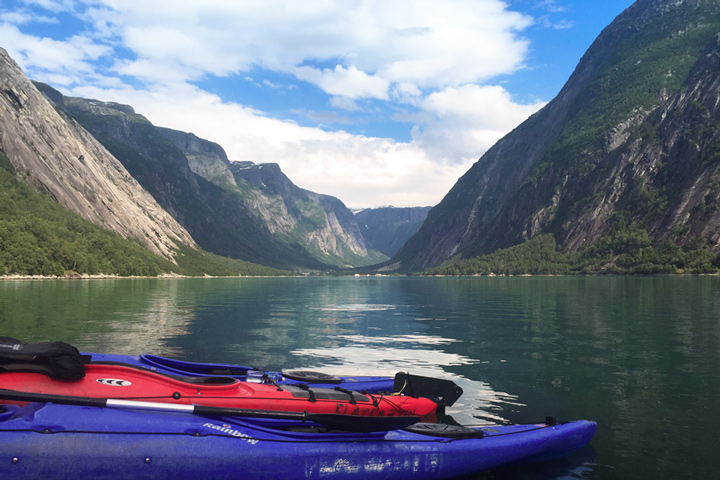
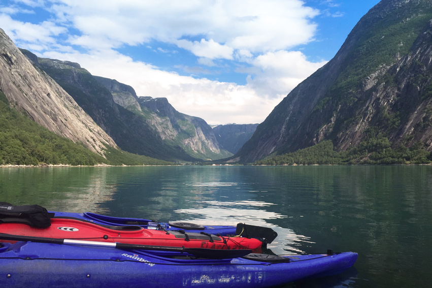
To rest my legs from the Besseggen hike, I chose a kayak tour of the Eidfjord, which meets outside the parking lot of the grocery store.
For dinner, the best place to eat in Øvre Eidfjord is at the Restaurant Fjell & Fjord, where you can enjoy a delicious meal with great views of the area.
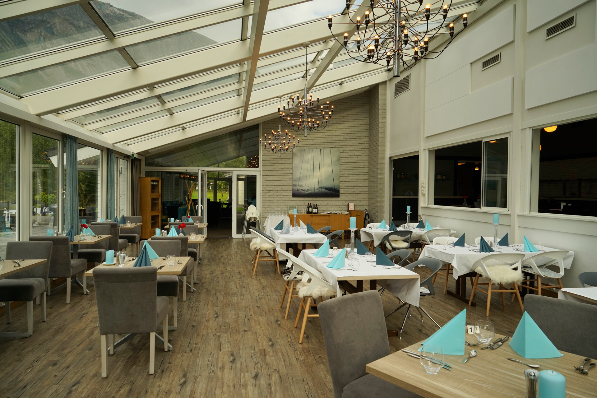
Eidfjord Fjell & Fjord Hotel: 60.465199, 7.070402
Although I did not get to hike Trolltunga on this trip, I found this excellent Earth Trekkers blog post about it.
Driving Route from Vågåmo to Øvre Eidfjord via Hardangervidda
165 miles
Bessheim Fjellstue og Hytter to Gol via Rv51
77 miles
Gol to Øvre Eidfjord via Rv7
88 miles
Alternate Driving Route from Lom to Øvre Eidfjord via Sognefjellet
191 miles
Lom to Sognefjellshytta via Rv55
33 miles
Sognefjellshytta to Øvre Årdal via Rv55 and Tindervegen
30 miles
Øvre Årdal to Lærdalsøyri via Rv53 and Rv5
27 miles
Lærdalsøyri to Vossevangen via Rv5 and E16
65 miles
Vossevangen to Øvre Eidfjord via Rv13 and Rv7
36 miles
Hardangervidda
If you chose the Sognefjellet Route to arrive in Øvre Eidfjord, you can still take a nice day trip from town to visit the waterfalls and minimalist landscapes of Hardangervidda.
There are a few short hikes at Vøringfossen, including a path to the bottom of the waterfall.
Drive to the Fossli Hotel for another great view of the falls.
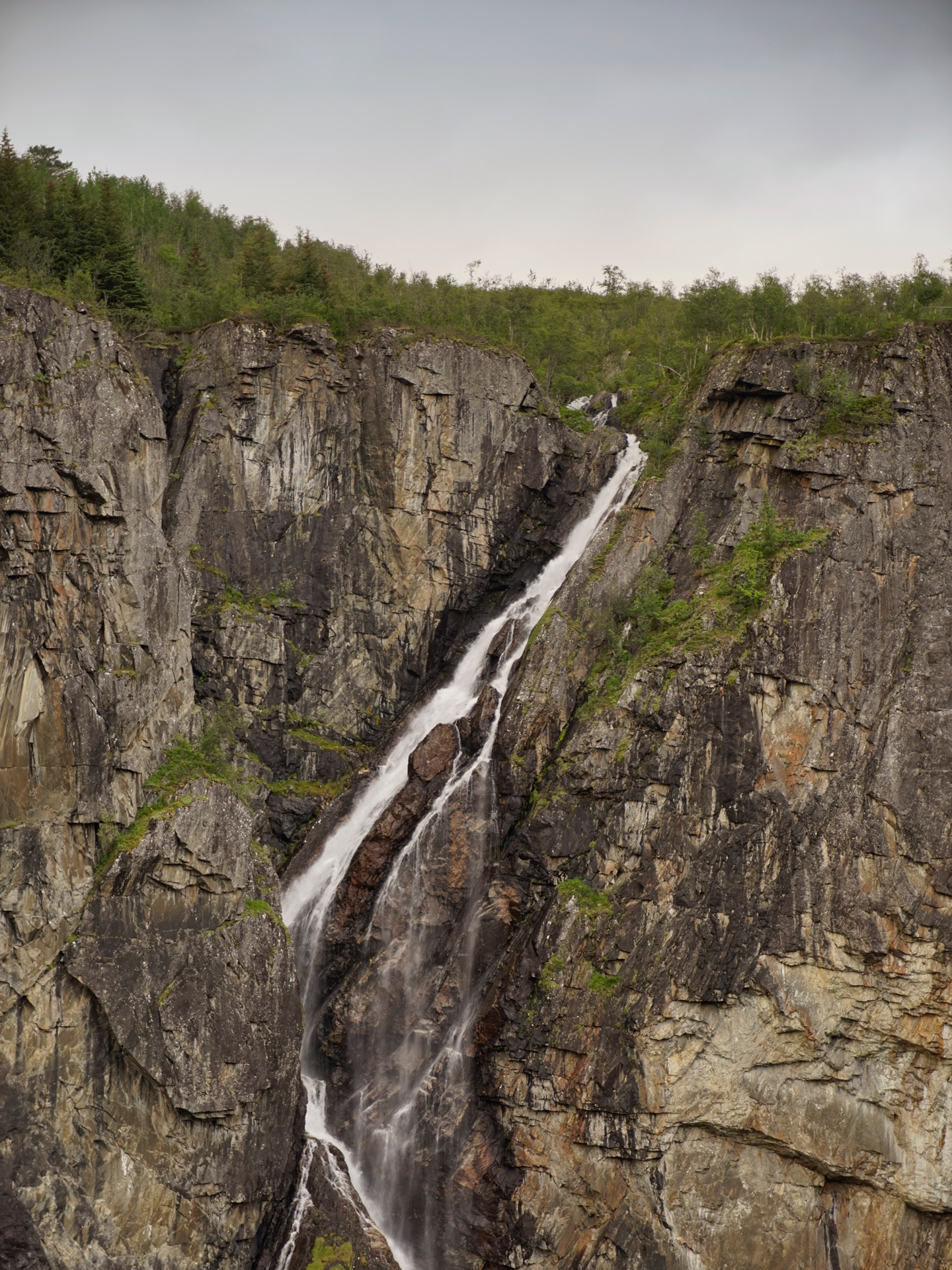
Parking Area for Vøringfossen: 60.426452, 7.247234
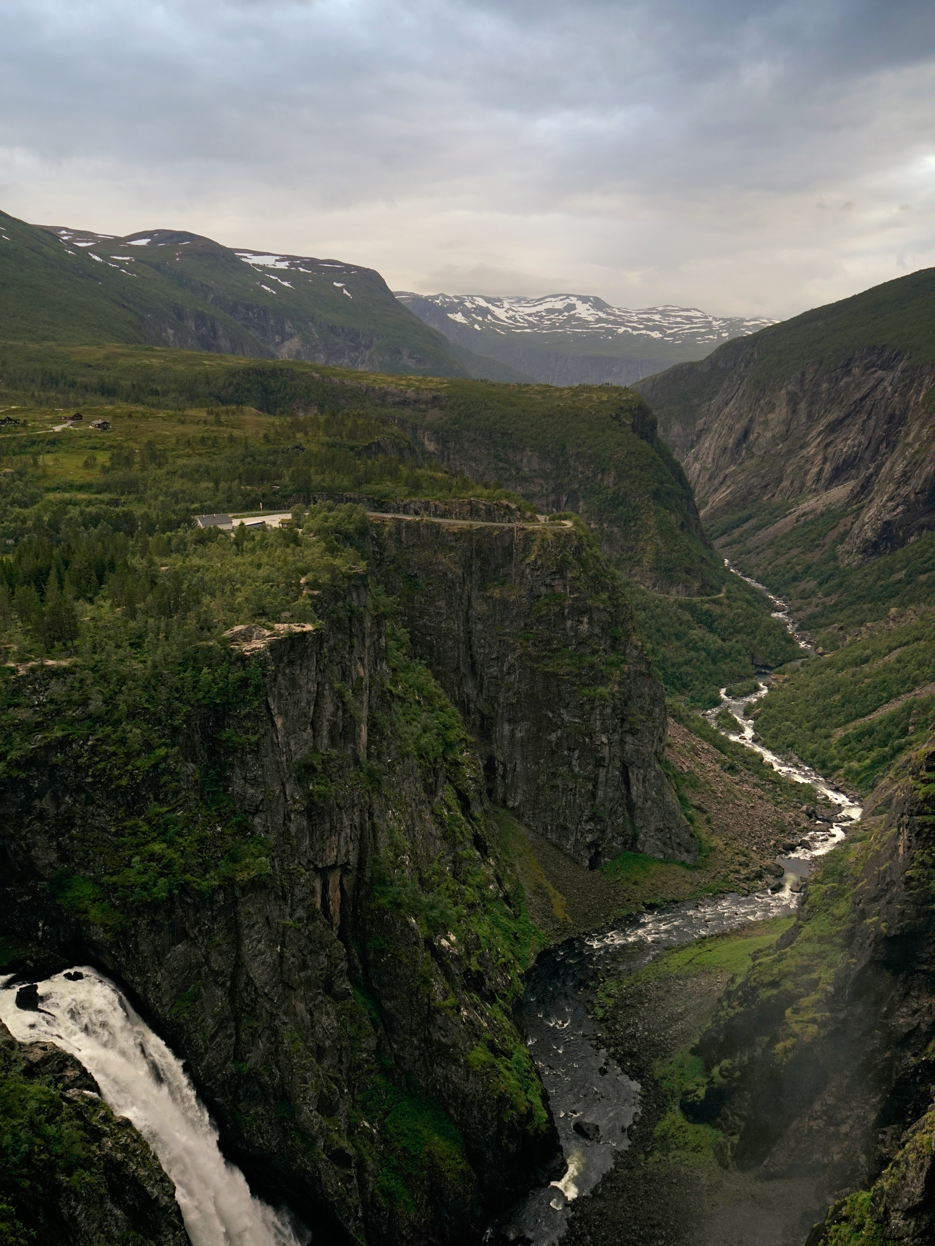
Vøringfossen from the Fossli Hotel: 60.427201, 7.254641
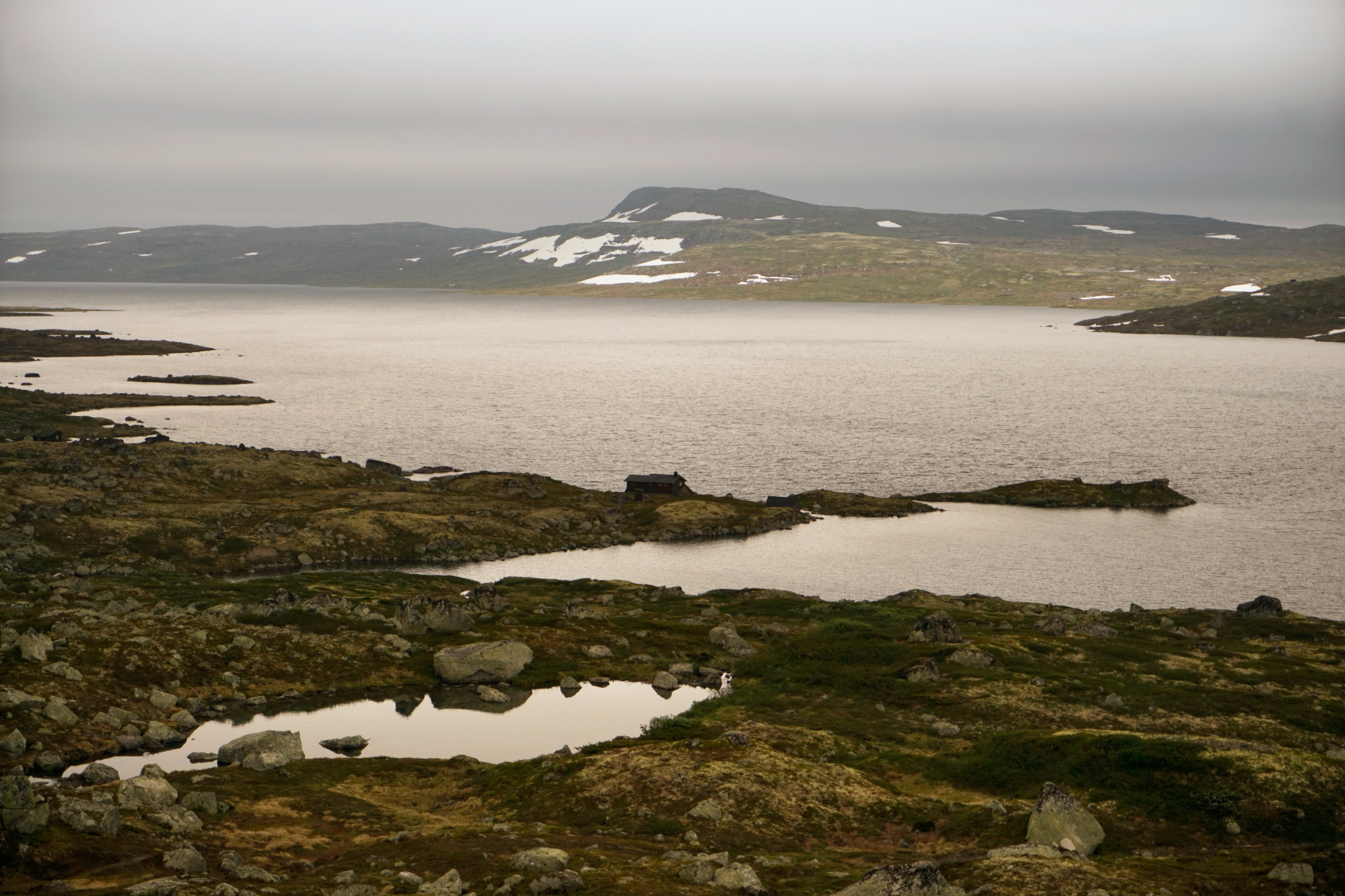
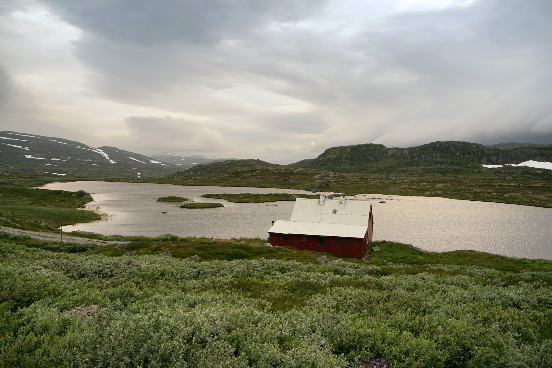
Further east along Handangervidda, the landscape becomes more alien.
I couldn't name any specific attractions along the way, but there are plenty of spots to pull over and enjoy the view.
Driving Route from Øvre Eidfjord to Geilo
57 miles
Eidfjord to Vøringfossen via Rv7
12 miles
Vøringfossen to Geilo via Rv7
45 miles
Hardanger
The final leg of my trip back to Bergen took me along the Hardanger National Tourist Route.
I did not have much time on this drive, but I still managed to make a couple of stops along the way.
Steinstøberget Rasteplass is a rest area with views of Hardangerfjord and the Folgefonna glacier.
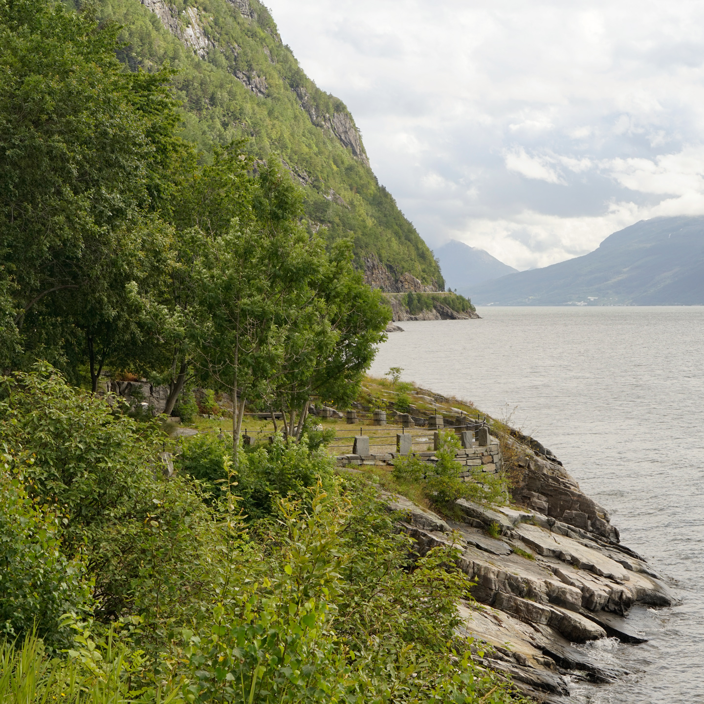
Steinstøberget Rasteplass: 60.396172, 6.312249
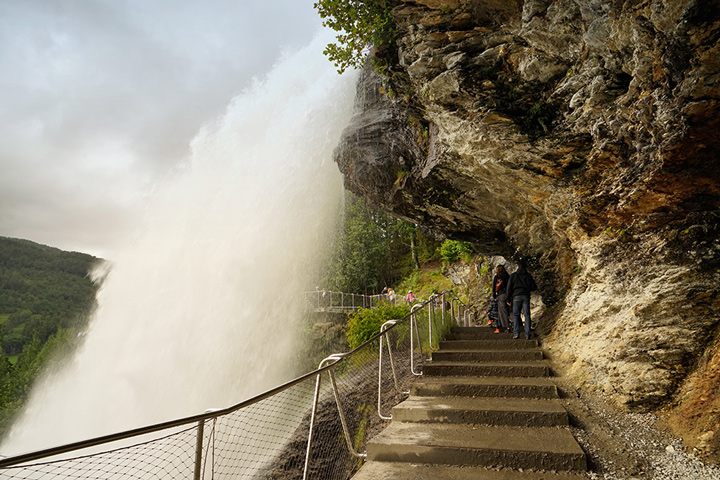
Closer to Bergen is Steinsdalsfossen, which is a roaring waterfall with a walkway behind it.
There is also a visitor center and gift shop with small cafe located here.
Driving Route from Øvre Eidfjord to Bergen
98.5 miles
Øvre Eidfjord to Steinstøberget Rasteplass, via Rv7, Rv13, and Fv7
41 miles
Steinstøberget Rasteplass to Steinsdalsfossen via Fv7
12.5 miles
Steinsdalsfossen to Bergen via Fv7, E16, and Rv580
45 miles
General Tips
- Most rental cars in Europe have a manual transmission. If you need an automatic, make sure you check with your rental car company.
- Cellular data can be spotty in many rural areas. Acquire a GPS device or download some offline maps with the Google Maps app, which is now capable of providing driving directions while in offline mode. I found my Garmin to be reliable for connectivity, but it did not recognize the names of most points of interest, so I had to manually find the destinations on a map and drop a pin.
- Be sure to fill up on gas often, and be sure you know what kind of gas goes in your car. Don't just assume it'll run on diesel. There are many remote stretches of road with no services, and it's a very long walk to the nearest gas station.
- The roads, though very well maintained, can be very narrow, and there will also be routes where you'll be driving through some very long tunnels through the mountains. Along the fjords or winding up and down the mountains, some roads are only a single lane wide for two directions of traffic. I was held up for over an hour on a stretch of road near Oppstryn because of two wide trucks heading in opposite directions through a narrow tunnel.
- Limit your daily driving to between 100-250 miles, or much less in the non-summer months. Though you may think you can drive faster and more hours, it's just not going to be worth it. You'll have no choice but to drive slow in some areas, and your trip will be more enjoyable if you can stop on the roadside to soak in the scenery.
- Be sure to check the car ferry schedules if your route involves taking one. You don't want to get stuck on the wrong side of a fjord late at night.
- You'll want to hit the grocery stores and stock up on water, bread and picnic food, just in case there are no restaurants along your drive or if they are closed when you arrive at your destination.
- No matter what time of year you visit, be sure to pack some warm layers and waterproof outerwear. The weather can change quickly and temperatures in higher elevation areas can get very cold and windy.
More Stories


