Norway · August 2015
Hike Summary
Distance:
8 miles one way
Total Elevation Gain:
2,950 ft
Starting Elevation:
3,280 ft
Highest Point:
5,718 ft
Hike Time:
6 to 8 hrs
Difficulty:
Very Difficult
Seasons:
June - October
Dogs:
Allowed on Leash
Located on the eastern edge of Jotunheimen National Park, the Besseggen Ridge is one of the most popular trails in Norway, but like Romsdalseggen, popular does not mean easy when it comes to hiking in Norway.
Portions of this trail are very steep, and the only way up involves some non-technical rock scrambling and use of anchored chains.
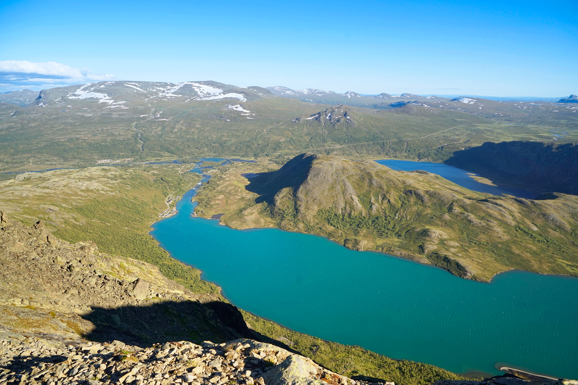
The payoff translates to amazing views of blue and turquoise alpine lakes, and you may even run across a herd of reindeer along the way.
There are a few alternate approaches to the Besseggen Ridge, and each route offers certain advantages.
Basically, there is a ferry that shuttles passengers between three stops on Lake Gjende: Gjendesheim (the main ferry terminal accessible from the Rv51 road), Memurubu (midway along the lake), and Gjendebu (on the far western edge of the lake).
You can start your hike from any of these points, but if you choose to start at Gjendebu, be prepared to hike about 16 miles one-way.
If you choose to start at Gjendesheim and end up at Memurubu (for the best light and views), you'll need to hike down the steepest section instead of climbing up, then time your arrival before the last ferry back to Gjendesheim.
Preferring to play it safe and take as much time as I wanted to enjoy the scenery, I decided to take a morning ferry from Gjendesheim to Memurubu, then hike back along the Besseggen Ridge to the parking area at Gjendesheim.
Tickets for the passenger ferry can sell out very quickly and parking is limited, so it's best to arrive very early in the morning.
There are fast-food options at the terminal while you're waiting for your turn to board the ferry.
You'll also want to bring some water with you on this hike, but if you don't want to carry a ton, you can replenish your supply at one of two alpine lakes along the hike.


Starting your hike in Memurubu, you'll ascend up a steep path on a grassy hill.
There are large rocks you can sit to catch your breath as you enjoy your first views across Lake Gjende. Much of the elevation gain will be completed in these first two miles of the hike.

Along the broad path at the top, you'll continue to have great views of Lake Gjende to your right and the mountains of Jotunheimen behind you.
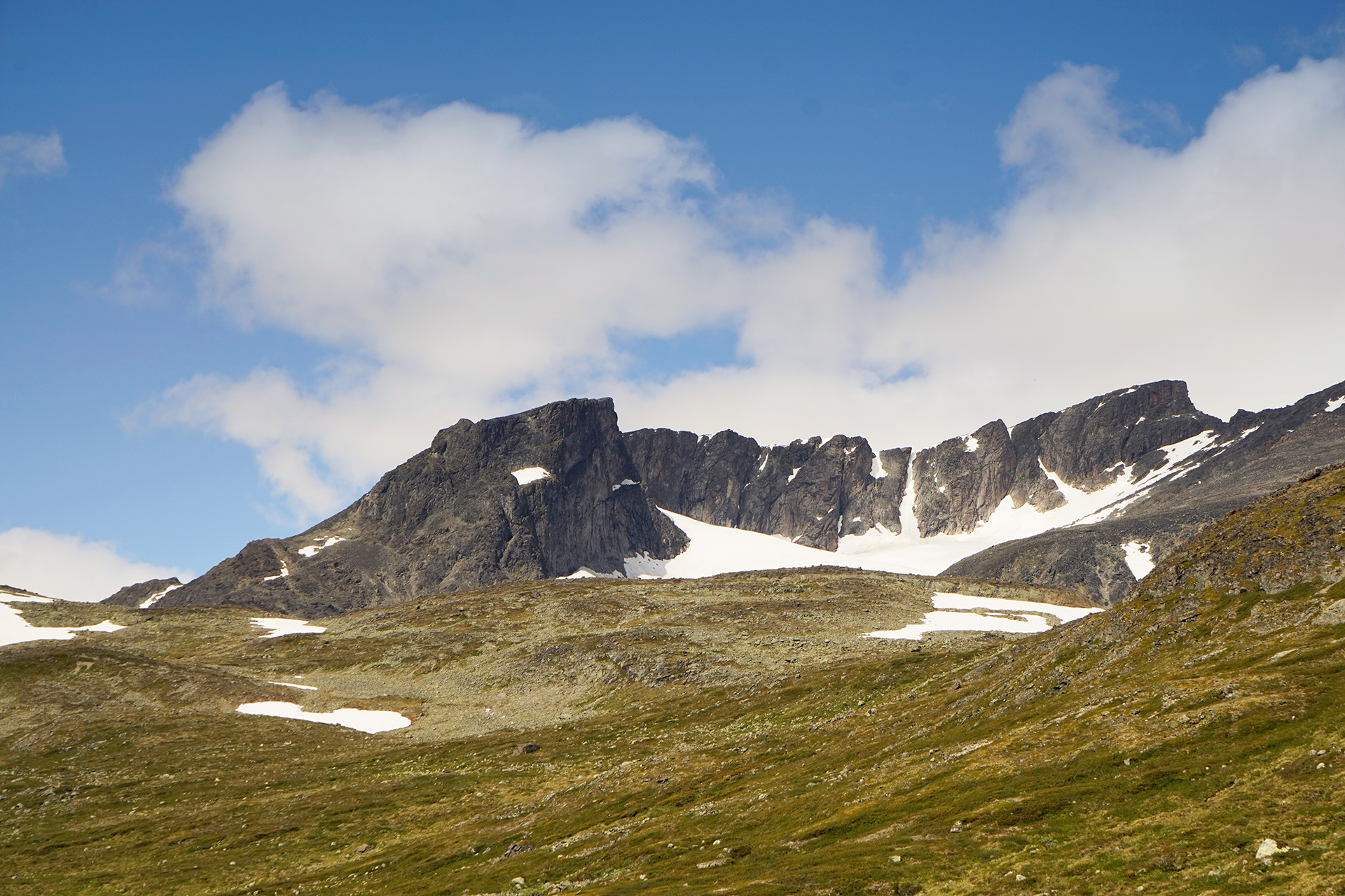
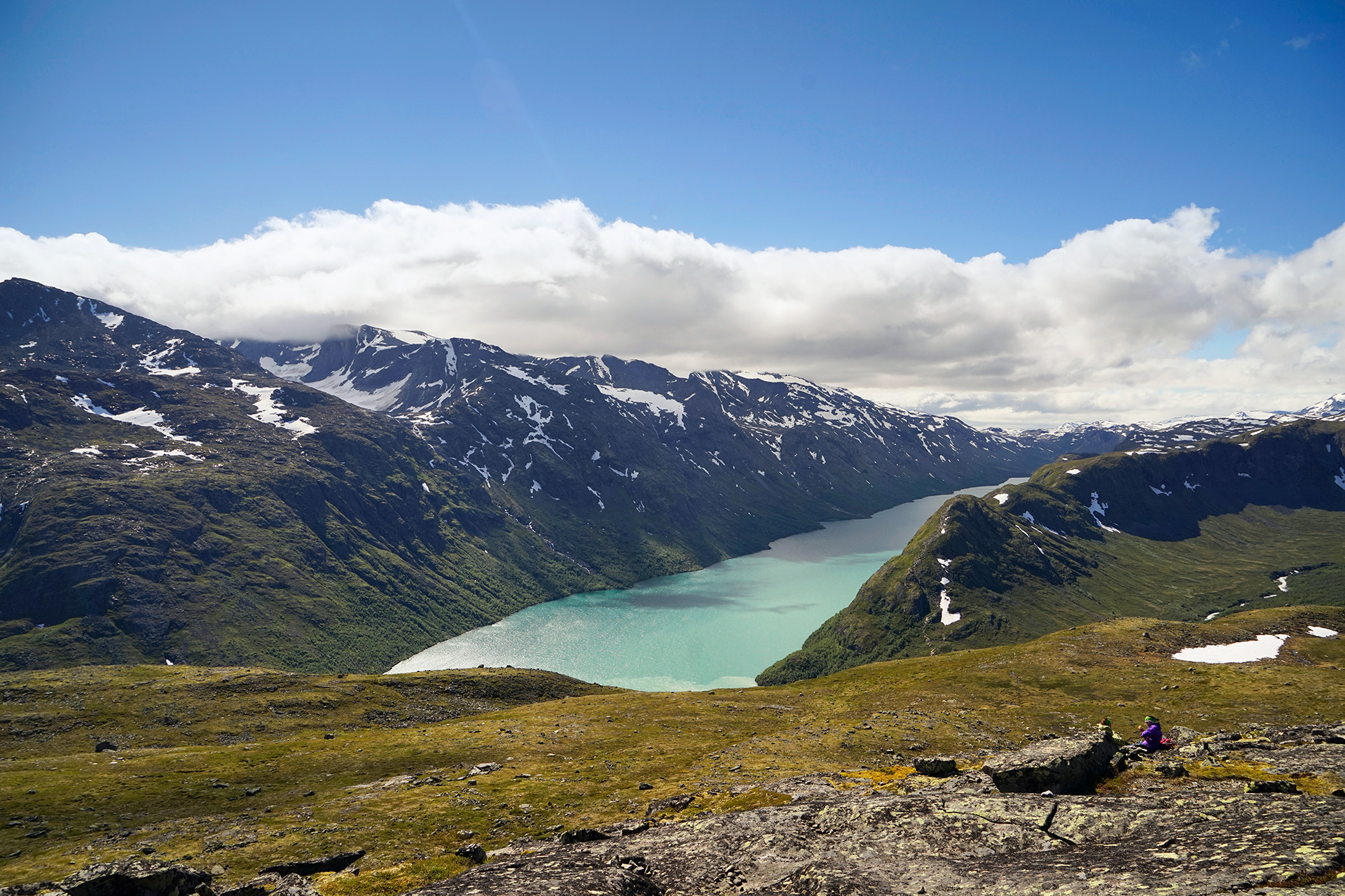
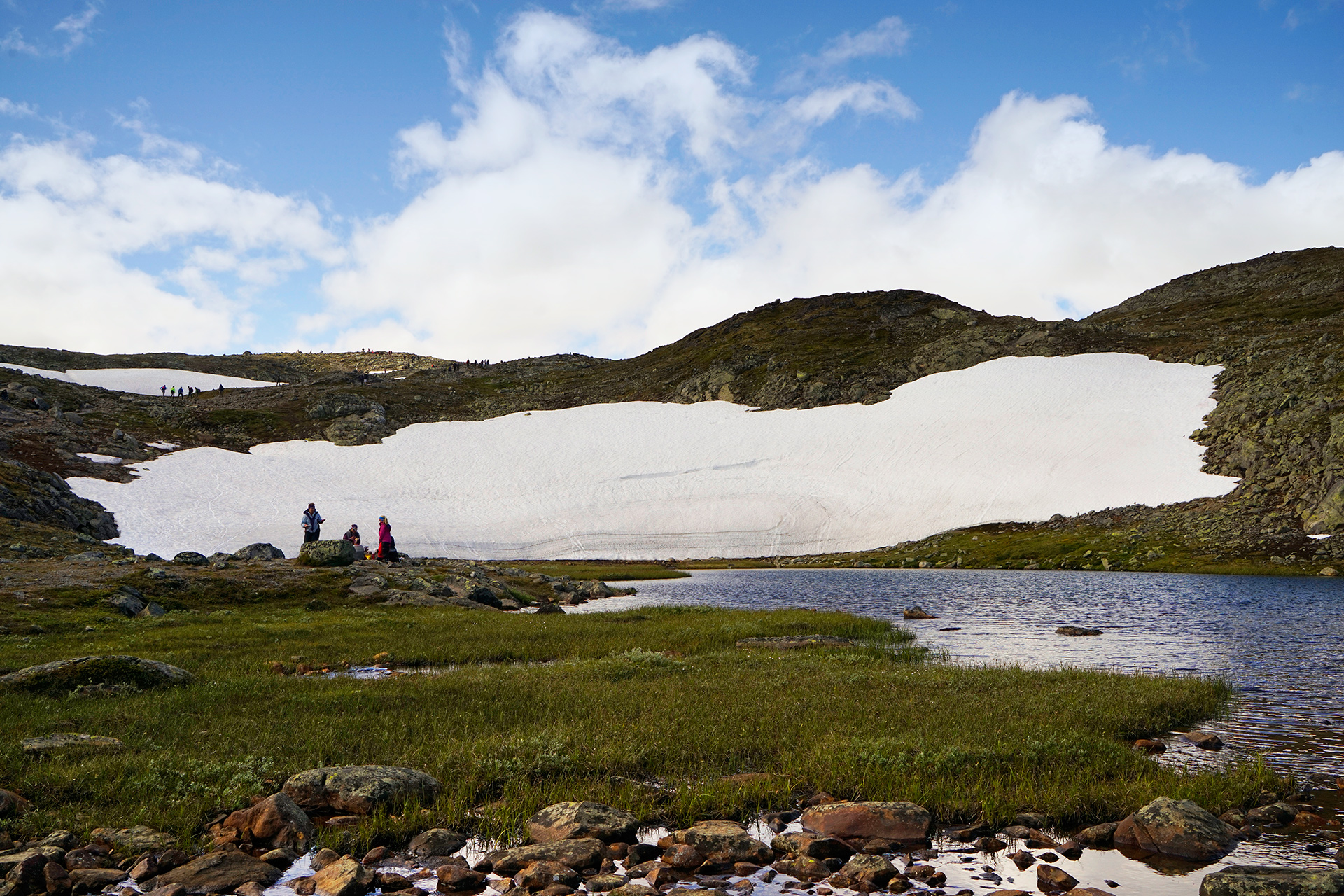
Eventually, you'll reach a small alpine lake, Bjornboltjonne, which is a great place to rest.

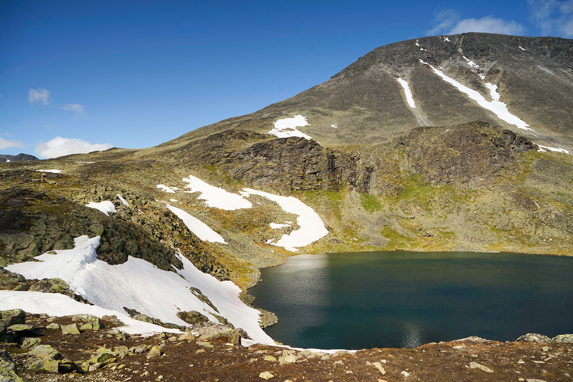
The larger, deep blue Lake Bessvatn marks the half-way point of this hike.
Take your time here.
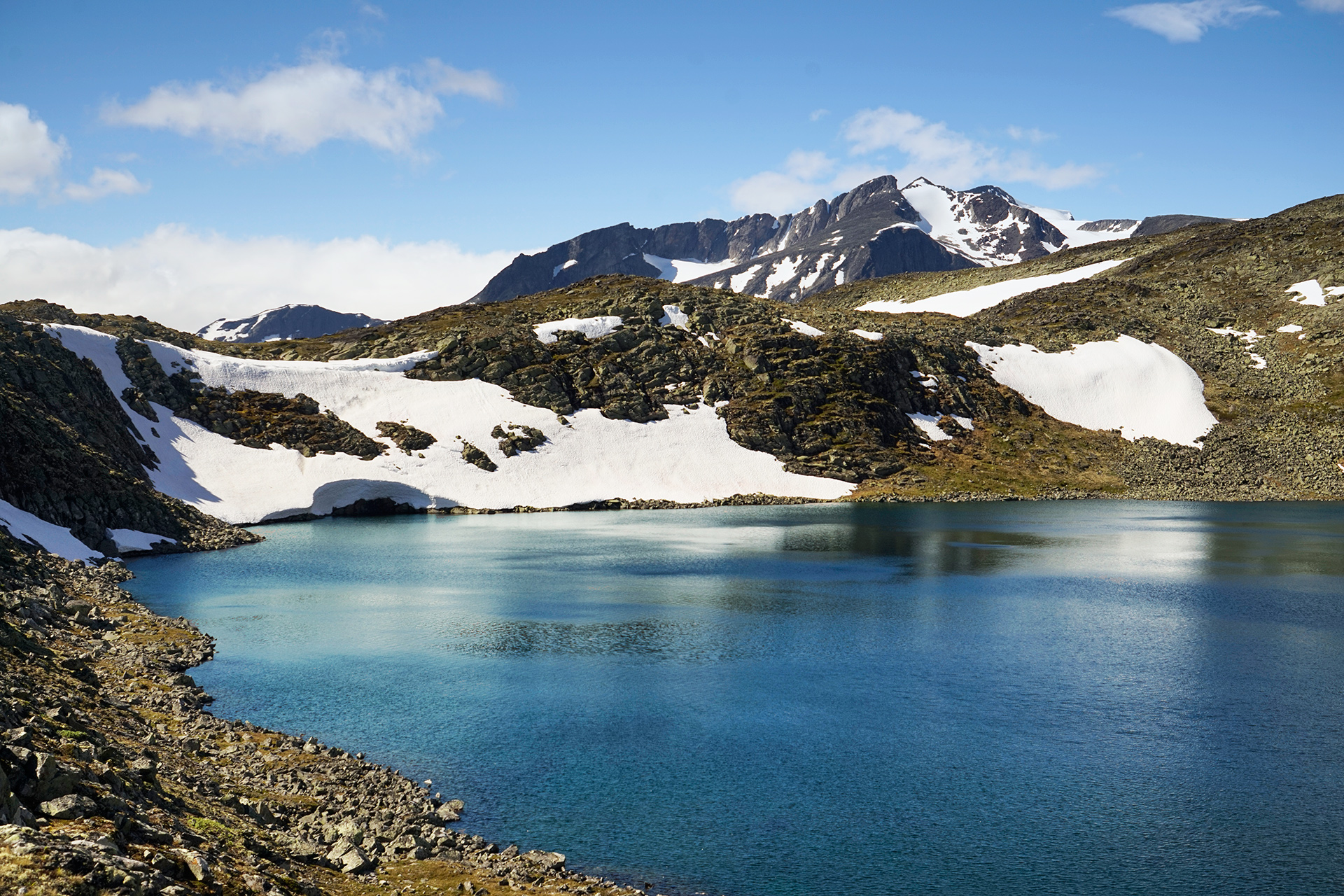


In front of you will be an intimidating scramble up the narrow ridge where you'll get the best perspective of the two lakes separated by the Besseggen Ridge.
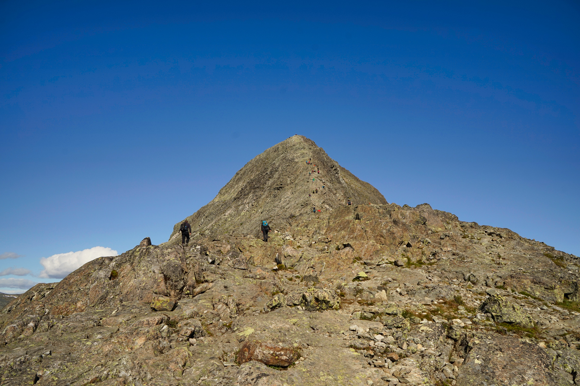
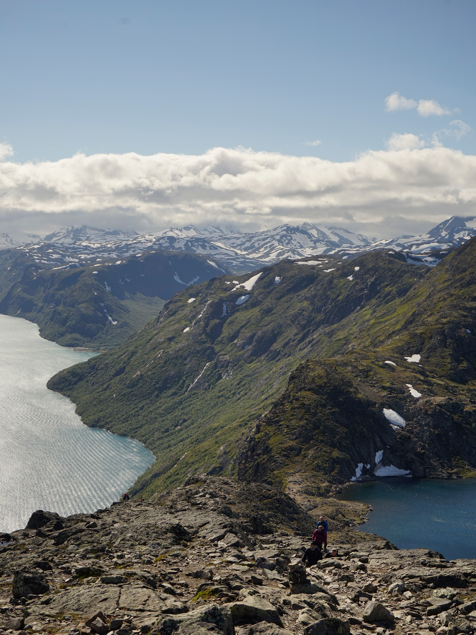
After you're done climbing, you'll reach the high mountain plain of Veslfjellet. This is where I saw a herd of reindeer grazing in the meadow.
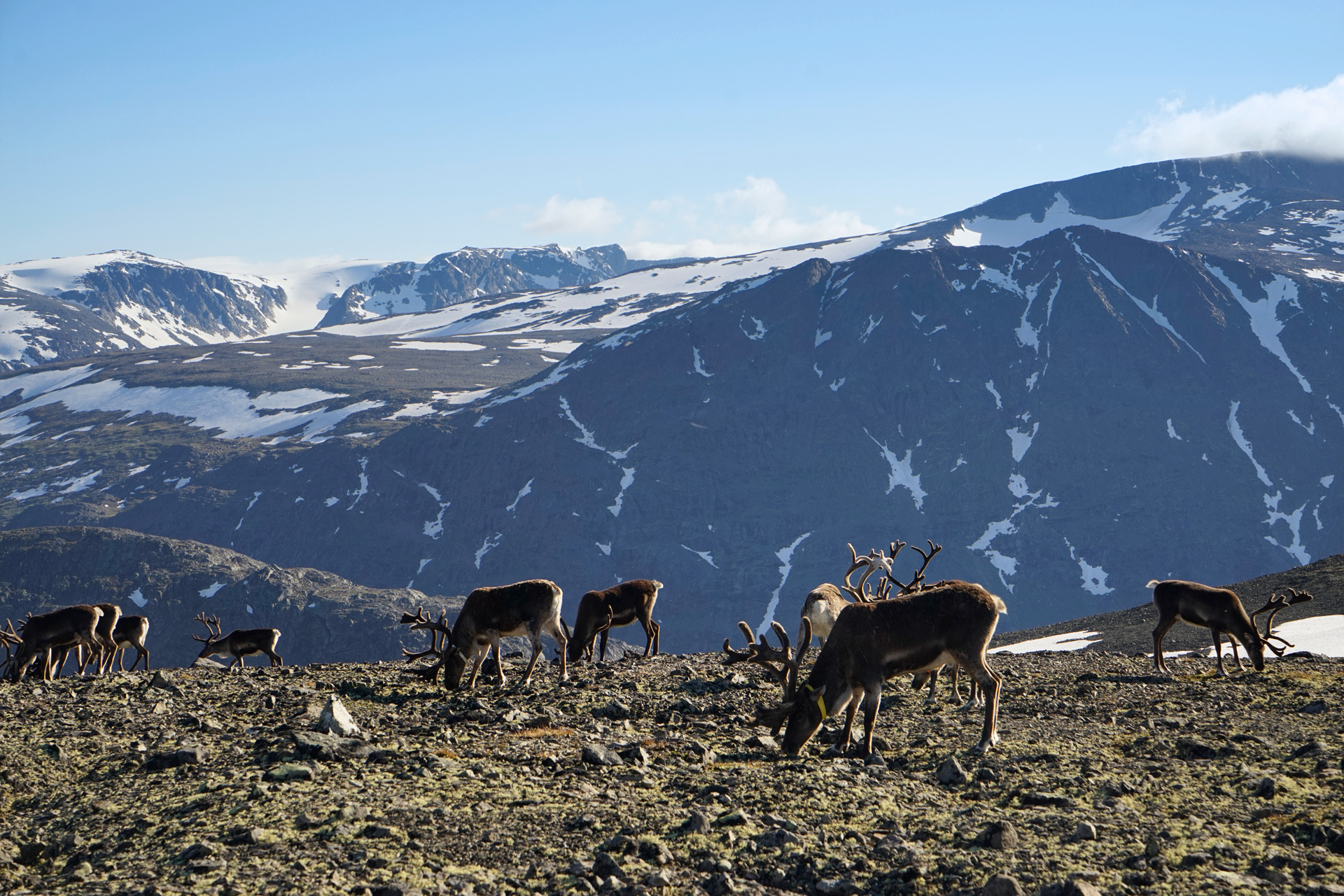
From there, you'll continue east and be careful to follow the signs back to the Gjendesheim Ferry Terminal if that is your destination.

Directions
The Besseggen Ridge is located along the northeastern edge of Lake Gjende in Jotunheimen National Park, Norway. Start by catching the Gjendebaten ferry to Memurubu. The one-way hike will take you east back to Gjendesheim.
1
Ferry terminal in Gjendesheim: 61.495225, 8.809655
2
Trailhead in Memurubu: 61.491775, 8.627728
More Stories


