Norway · August 2015
Hike Summary
Distance:
6.5 miles one way
Total Elevation Gain:
3,182 ft
Starting Elevation:
1,246 ft
Highest Point:
4,009 ft
Hike Time:
7 to 10 hrs
Difficulty:
Very Difficult
Seasons:
June - October
Dogs:
Allowed on Leash
Romsdalseggen is one of the most beautiful hikes in all of Norway.
With an amazing diversity of landscapes and wide-open views of the Rauma River valley leading into the Romdalsfjorden, it is worth every sore muscle you'll get to hit this trail.
This hike does not sound too difficult on paper, but in practice, the terrain will challenge you from start to finish.
It involves a steep, muddy section, areas where you'll have to pay attention to marked cairns, some non-technical rock scrambling on a narrow ridge, and a punishing descent at the end.
There are a few ways to approach this hike.
All of them require some level of planning and will leave your thighs burning.
Two of them are crazy and not recommended: a 13 mile in-and-out hike that might kill you and a 6.5 mile one-way hike starting from the town of Åndalsnes that requires you to accurately time your pickup at the other end.
I recommend the safe and practical way- a 6.5 mile, one-way trip hiking towards Åndalsnes from the high valley of Vengedal.
By completing Romsdalseggen using this route, you can take all the time you need to enjoy the hike, not worry about multiple cars, hitchhiking, or trying to ascend over 2,000 vertical feet in the first mile of your hike.
In Åndalsnes, there's a hiking bus that departs at 9:30am from the train station.
This is a very popular hike, so tickets for that bus should be purchased at least a day in advance.
You will want to arrive at the bus waiting area by around 9am.
Parking is tricky, so you may have to walk a few minutes to the train station from your car.
The bus takes you to the other side of the mountain and drops you off in the high valley of Vengedal where you begin the hike.
This trail does not fuck around, and you'll be promptly starting your ascent up a muddy and slippery hillside.
Within the first mile of this hike, both my hiking shoes got caught in the mud, and I immediately regretted not bringing an extra pair of wool socks.
Nearly ten hours of walking with wet, muddy boots definitely added some difficulty to this hike.
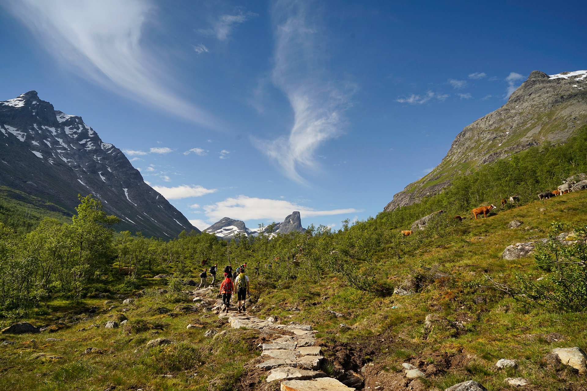
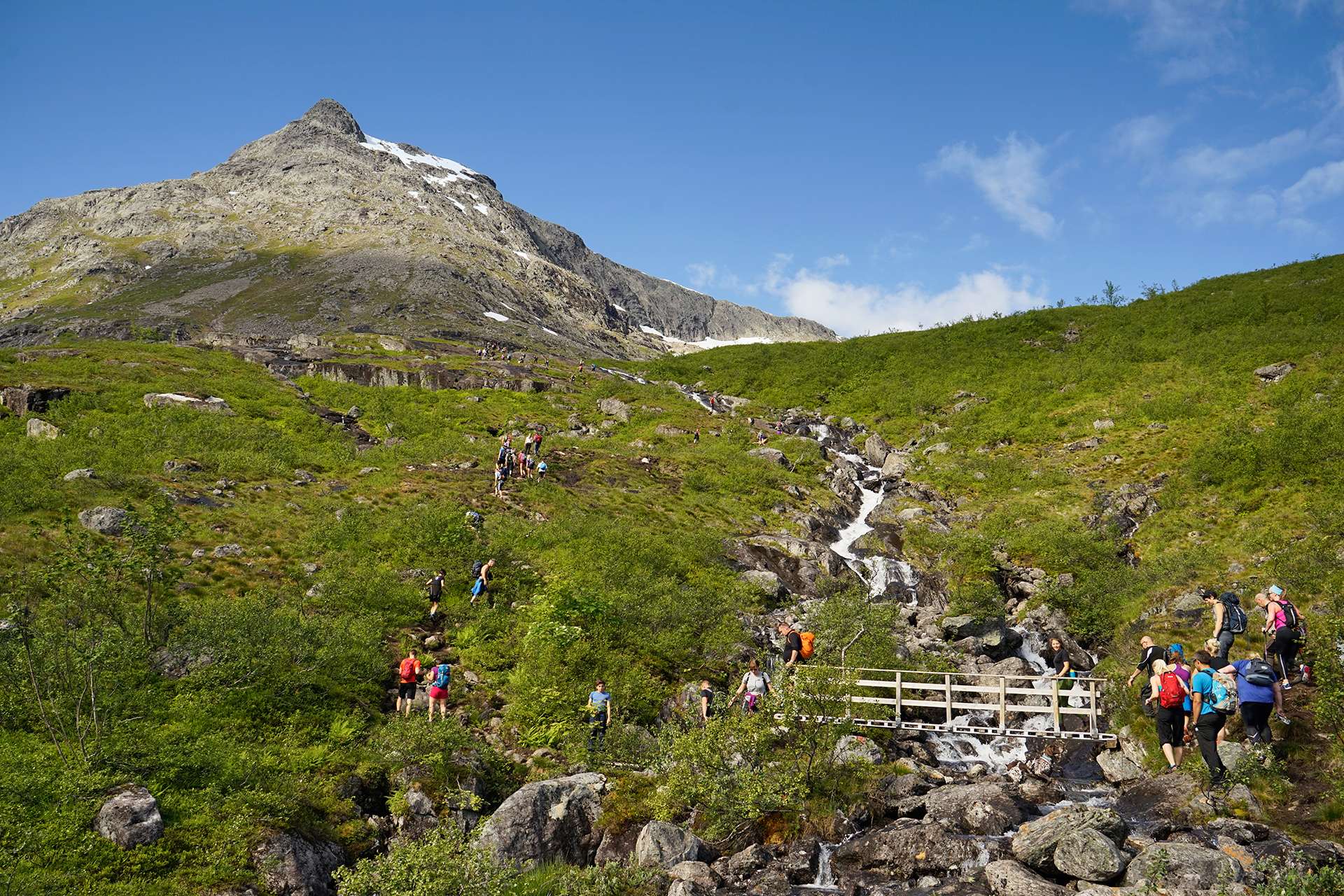
Eventually, you'll reach a drier, level area and continue on a path to the left of the river beside a rocky slope.
There are already some nice views here, but the best is yet to come.
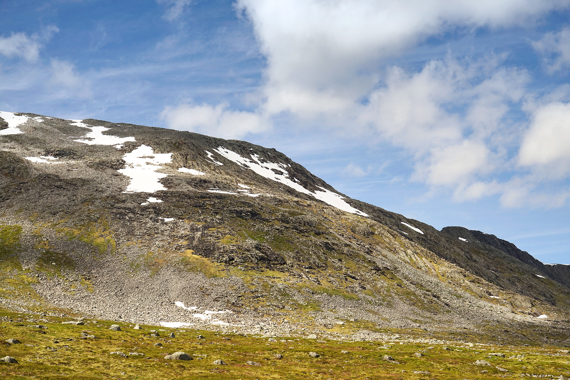
To proceed, follow the marked cairns up the rocky mountain to the left, and after some effort reaching the top, you'll have your first views of the Rauma River and valley below.
Looking behind, you can soak in the amazing alps while taking in a snack.
At this point, it felt like the hard part was over and the rest of the hike would proceed downhill, but I would soon find out I was wrong.
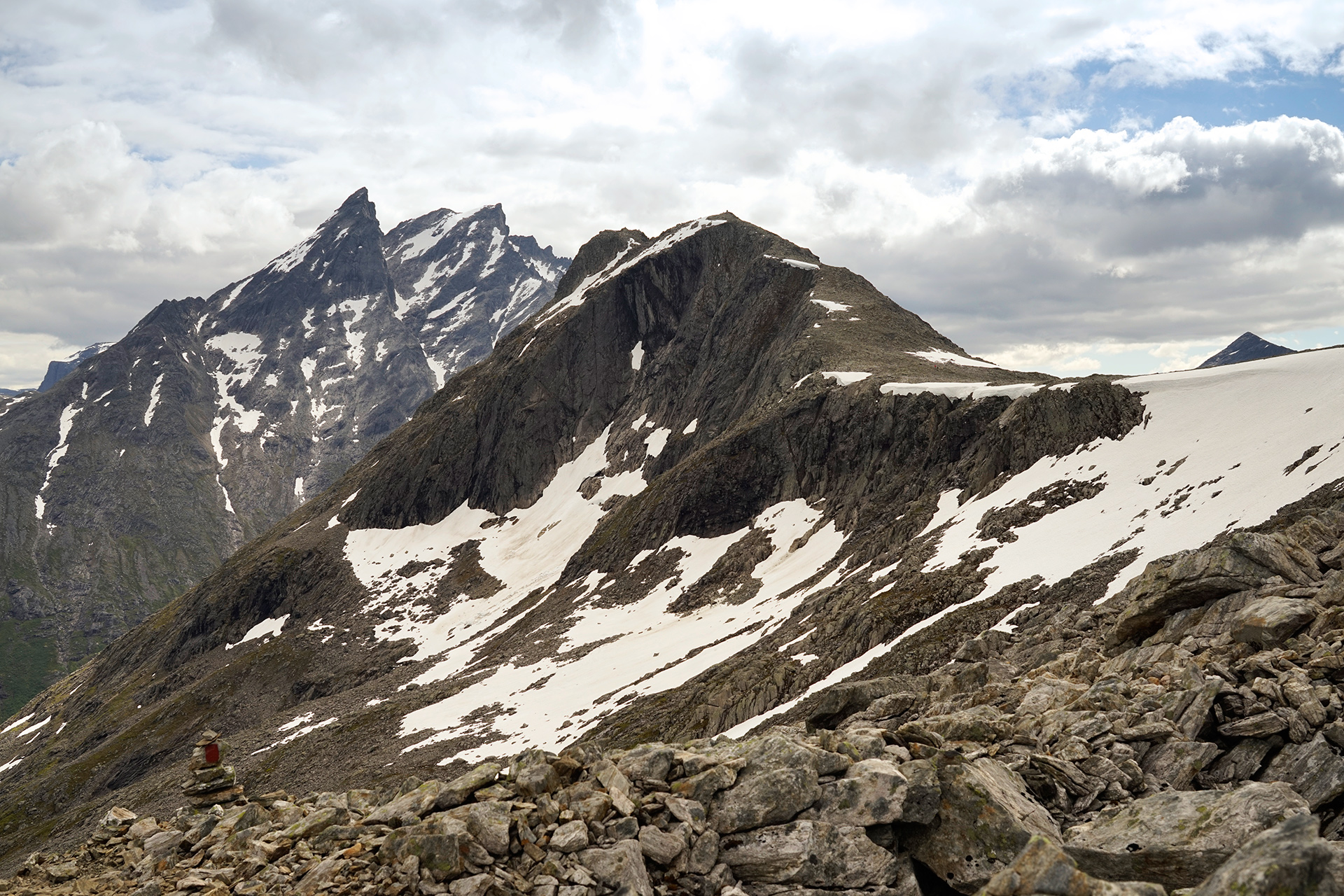
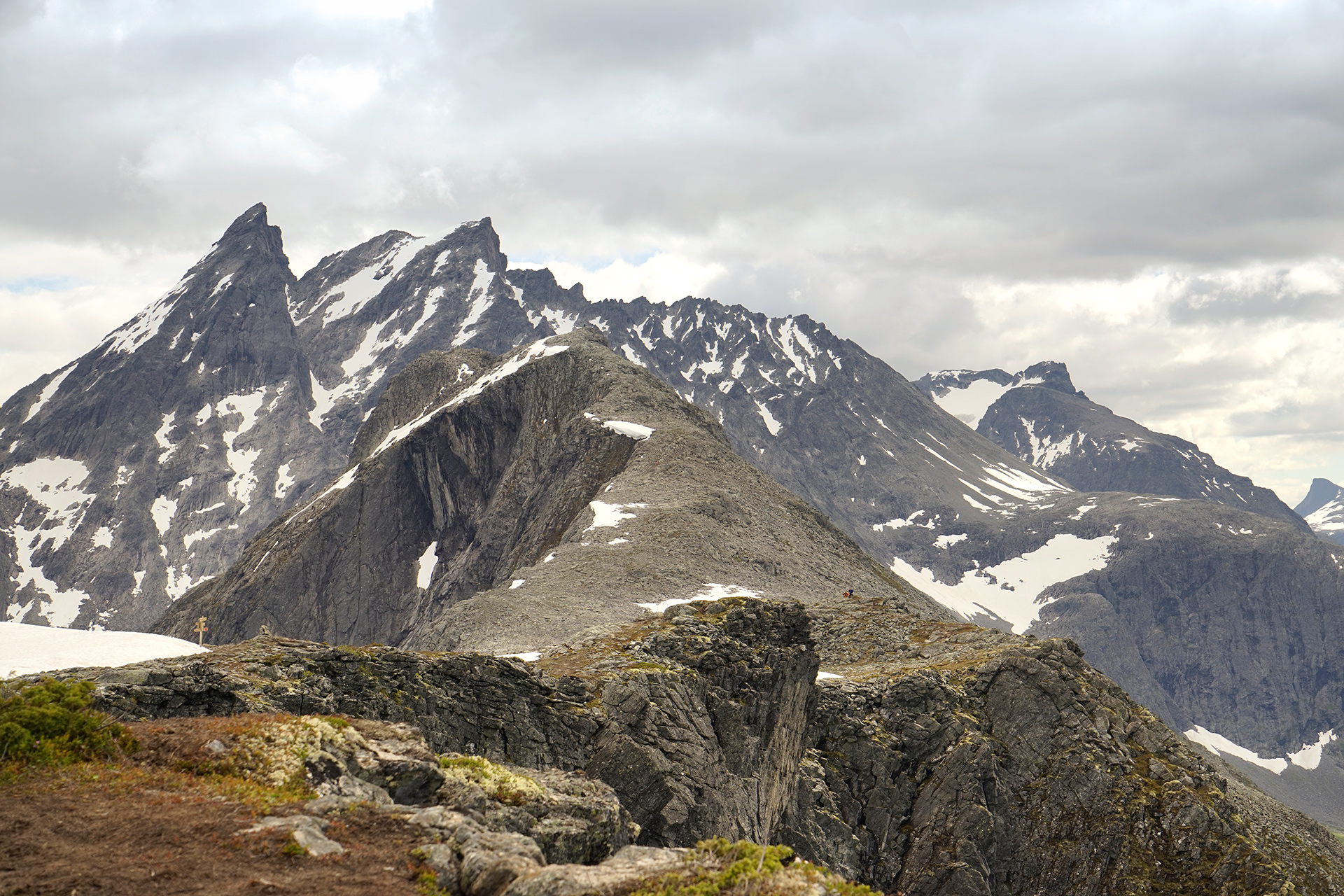
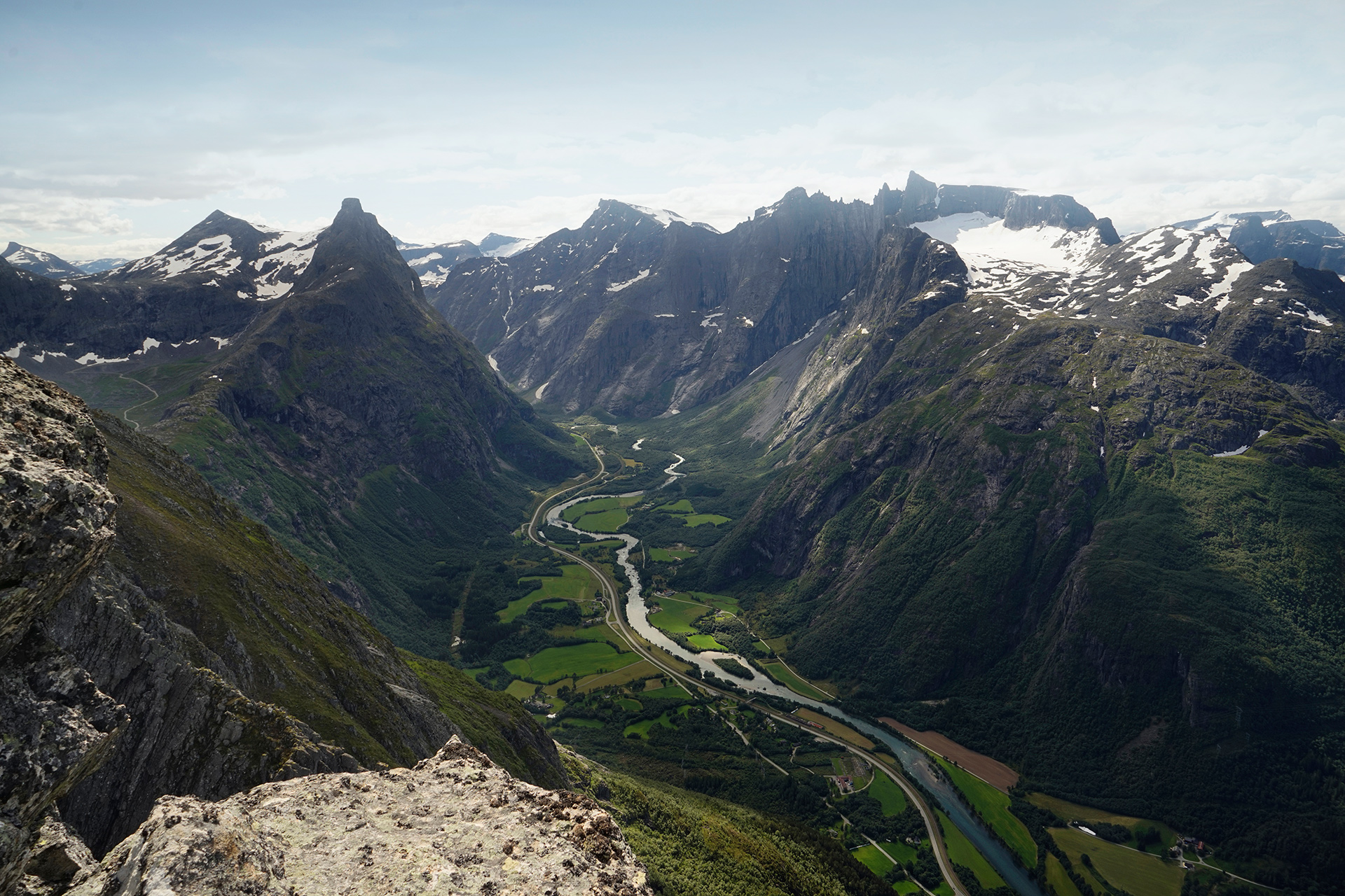
Looking northwest where Åndalsnes should be, I could see a path leading downhill, then a line of hikers in the distance heading precariously uphill towards another peak.
Not seeing any other way to proceed, I continued along the broad ridge toward the group.
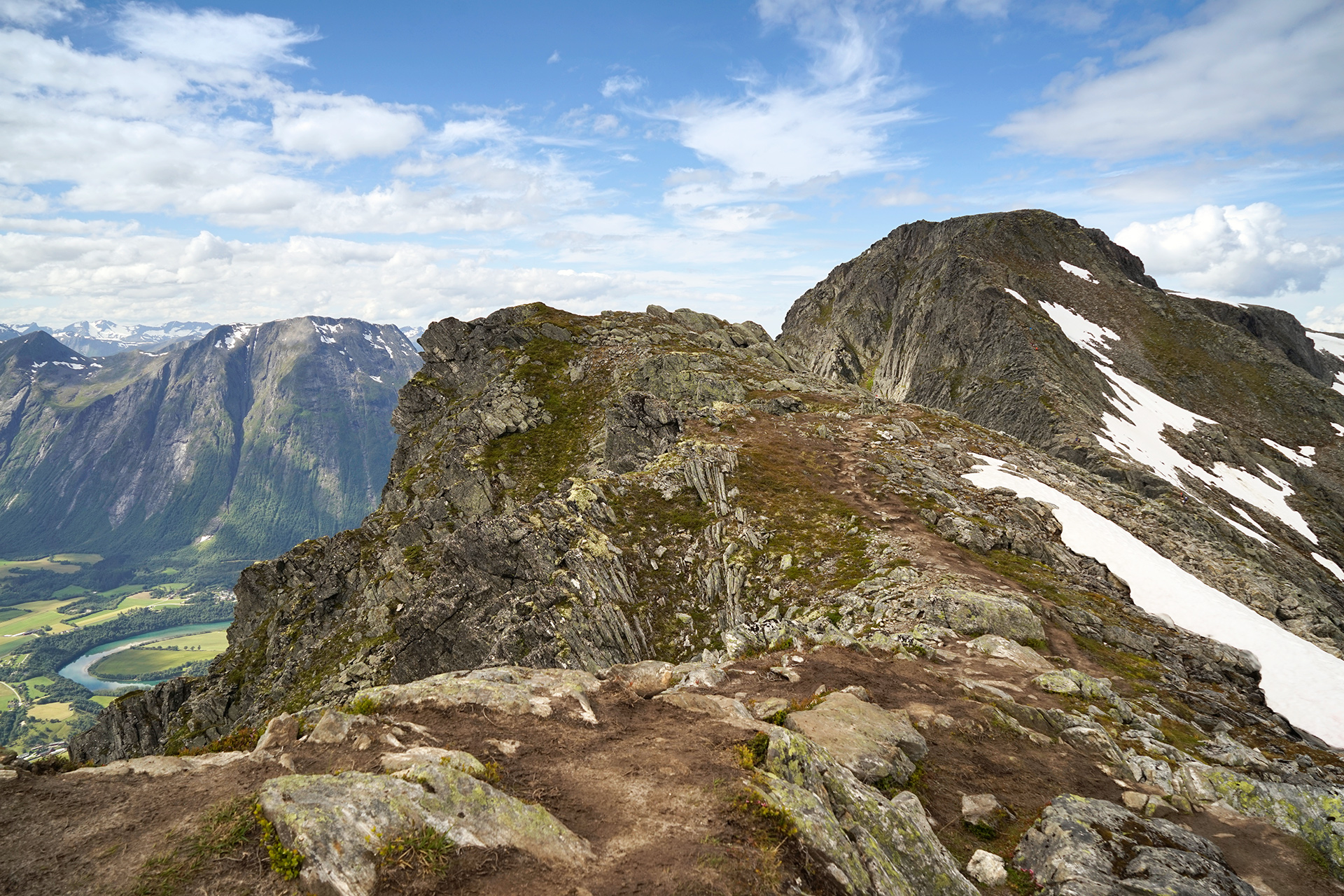
This part of the hike requires you to scramble up a steep, narrow ridge from Halsaskaret to Mjølvafjellet.
You should put away your hiking poles for the climb up- it can get pretty windy on this ridge, and you'll want both hands free to grab onto the chains anchored into the rocks.

Once you've ascended Mjølvafjellet and reached Romsdalseggen, you have completed the most difficult uphill portion of the hike.
As the path broadens, more vegetation appears, and you will be rewarded with amazing views toward the Romdalsfjorden.
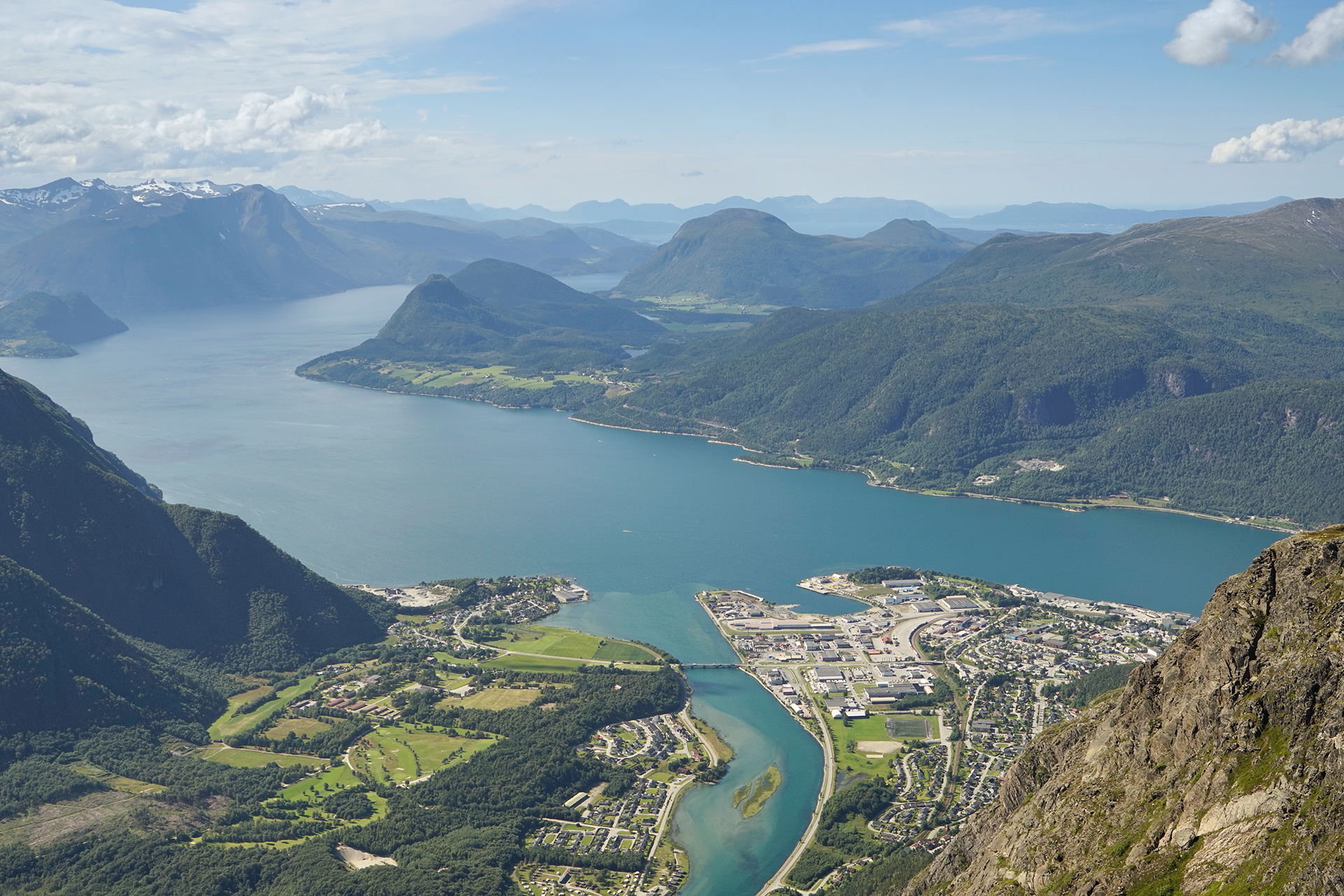
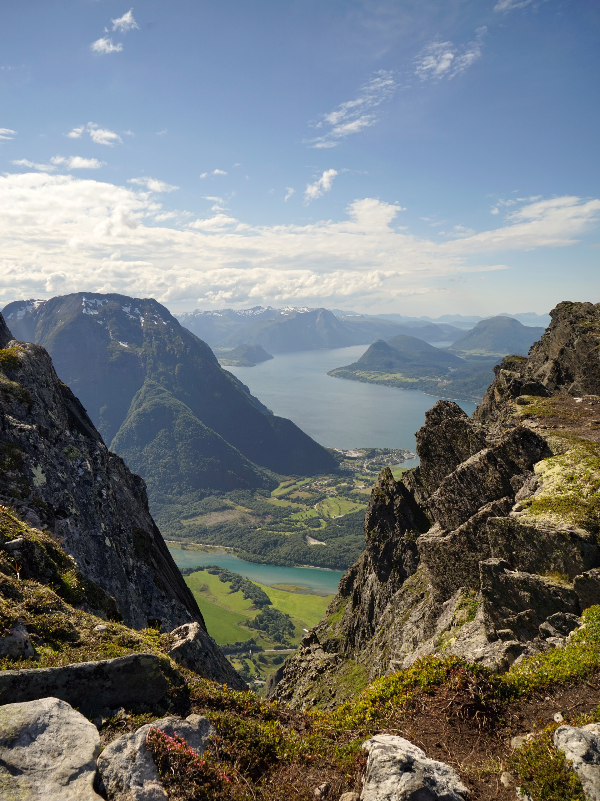
The worrisome part is how gently the trail descends at this point, and you'll be wondering what lies ahead in the path down to Åndalsnes.
The answer is an insanely steep drop-off.
During the last mile of the hike, you will descend 2,000 feet down a series of rocky stairs and finally a rough, wooded pathway back to town.
Directions
Romsdalseggen is located next to the town of Åndalsnes in Western Norway. Alesund is the closest major airport, 76 miles to the west. Start by catching the hiking bus in Åndalsnes heading to Vengedal. The one-way hike will take you northwest back to Åndalsnes.
1
Bus station in Åndalsnes: 62.567508, 7.690263
2
Trailhead in Vengedal: 62.536370, 7.825997
More Stories


