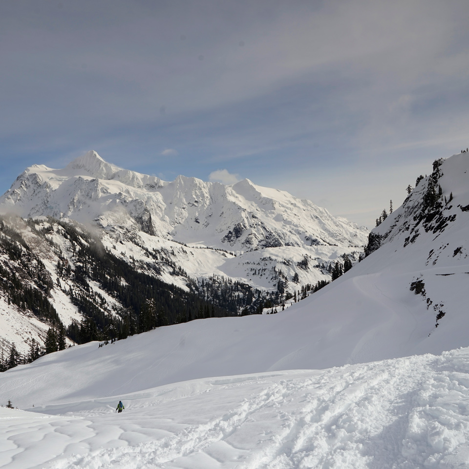
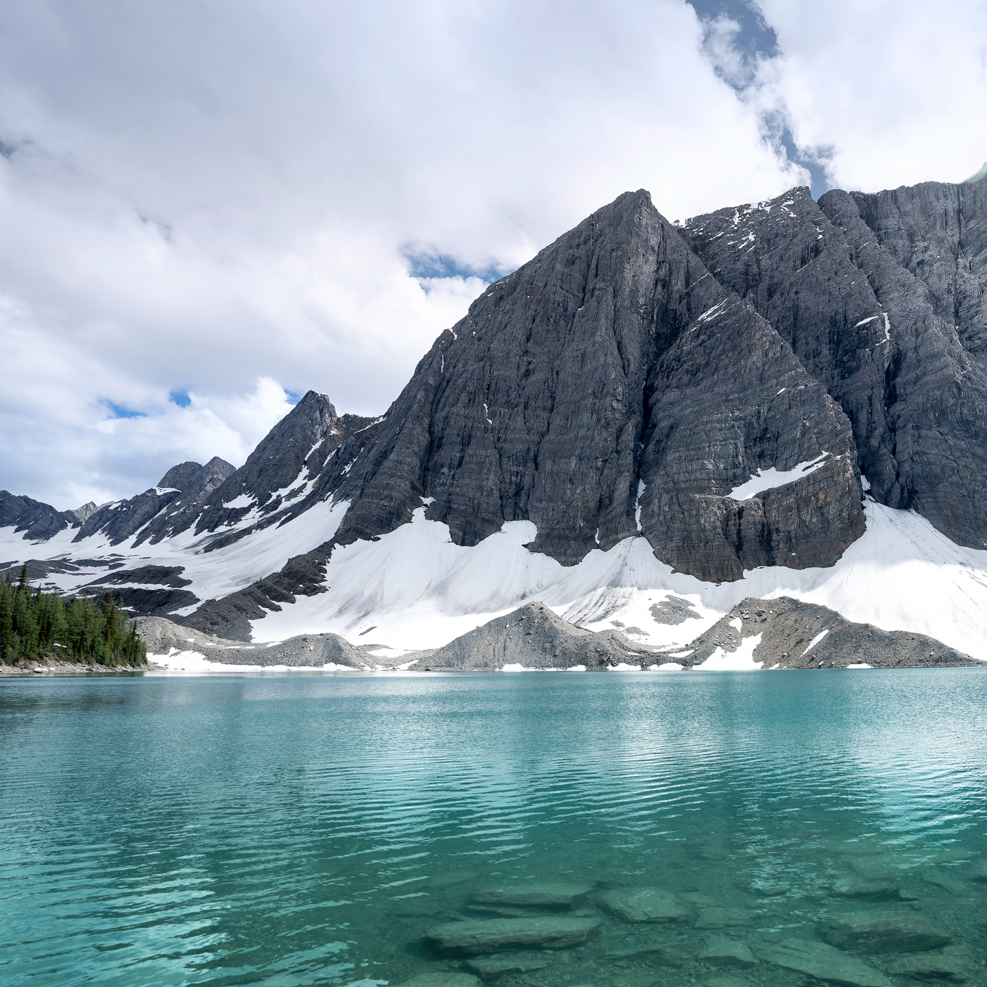
Washington · August 2018
Hike Summary
Distance:
8.2 miles out and back
Total Elevation Gain:
1,900 ft
Starting Elevation:
4,773 ft
Highest Point:
4,900 ft
Hike Time:
4 - 5 hrs
Difficulty:
Moderate
Season:
July - September
Dogs:
Allowed on Leash
Pass Required:
Having never done a backpacking hike before, I chose Lake Ann to try it out because it is relatively short, has an amazing payoff at the end, and there are plenty of campsites with easy access to water.
There's a narrow window in the calendar year where hiking in the Mt. Baker Wilderness area is easy—This is one of the snowiest areas in North America, and summer here starts late and can disappear quickly.
Before this trip, I had only been to the area for skiing and snowshoeing.
The trail to Lake Ann starts near the end of the Mt. Baker Highway, close to Artist Point.
The elevation profile is bowl-shaped.
The first two miles of the trip is mostly downhill under the cover of trees before flattening out in a meadow with small stream crossings.
Most of the ascent is completed near the end of the trail along an exposed hillside.


From the flat meadow area midway through the hike, you'll start to get views of Mt. Shuksan to the east.
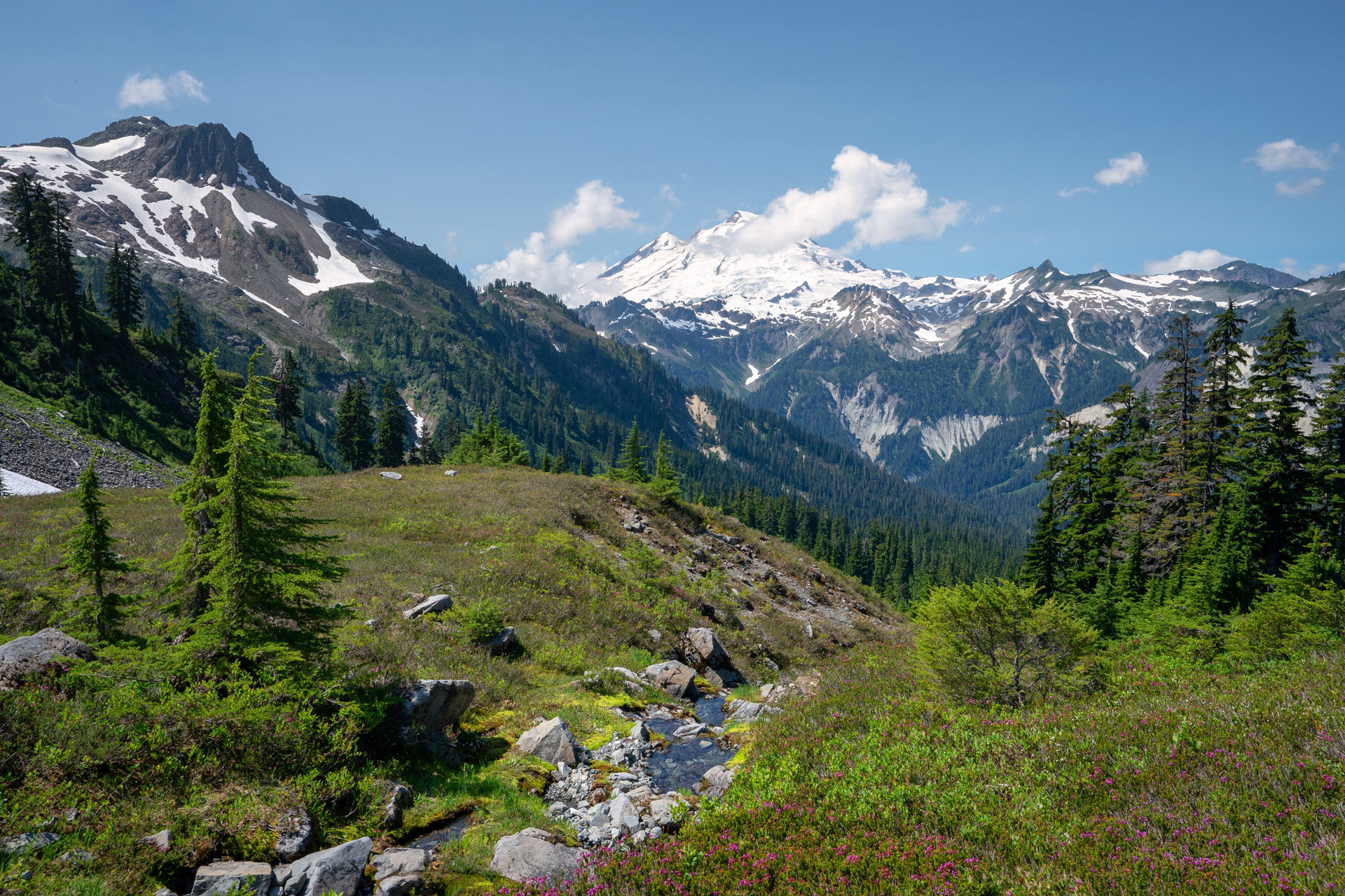
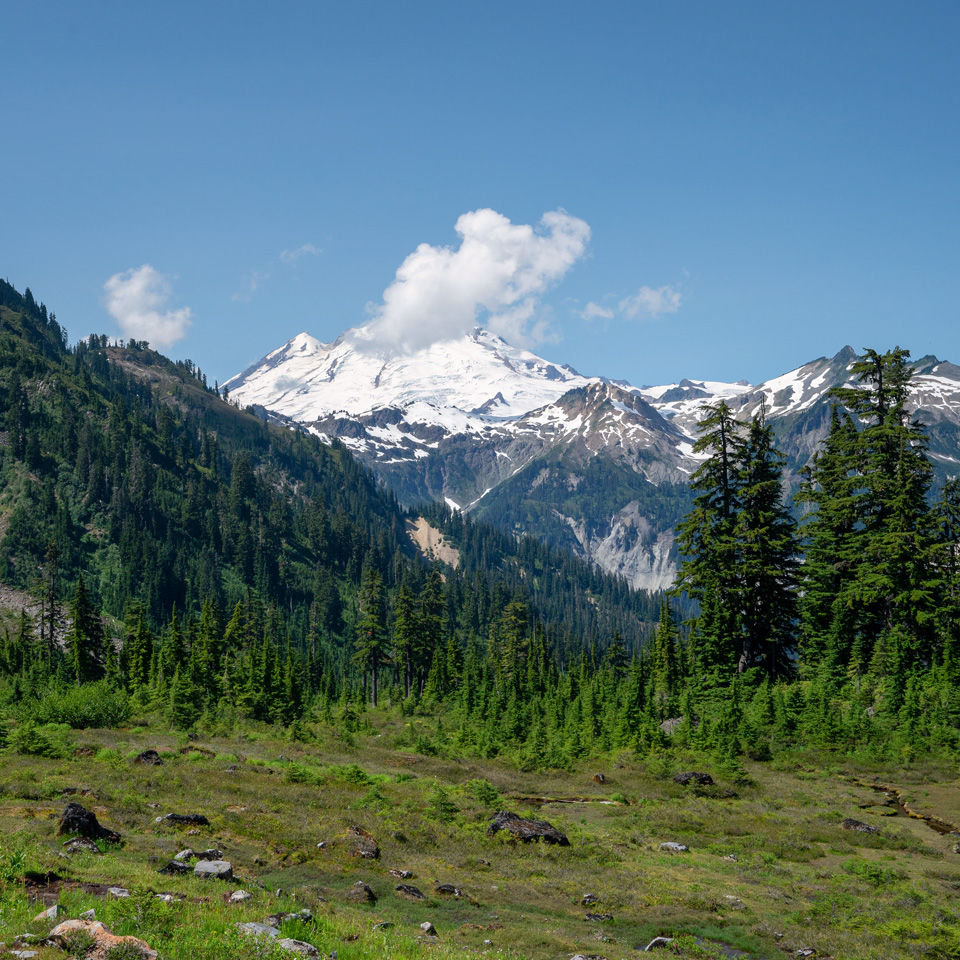
On the approach up to Lake Ann, you'll start to get views of Mt. Baker to the west.
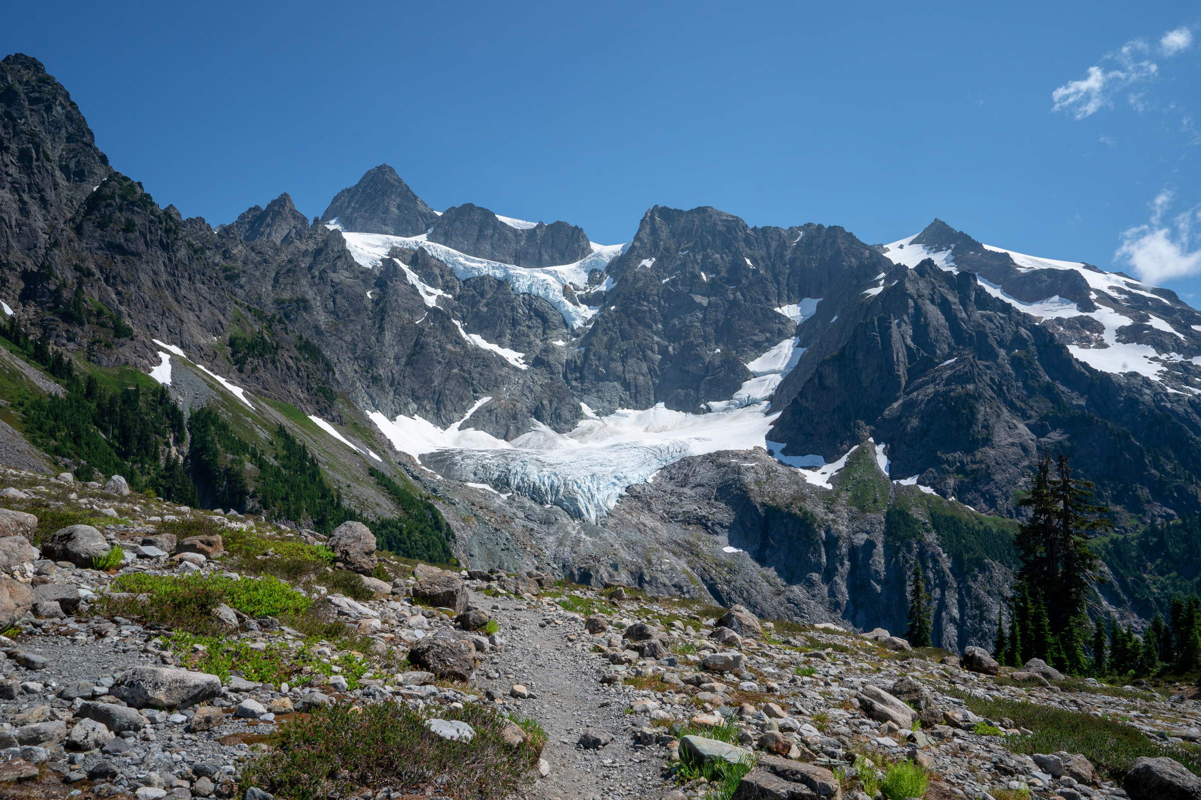
The glaciers along the west face of Mt. Shuksan are on full display on the ridge east of Lake Ann.
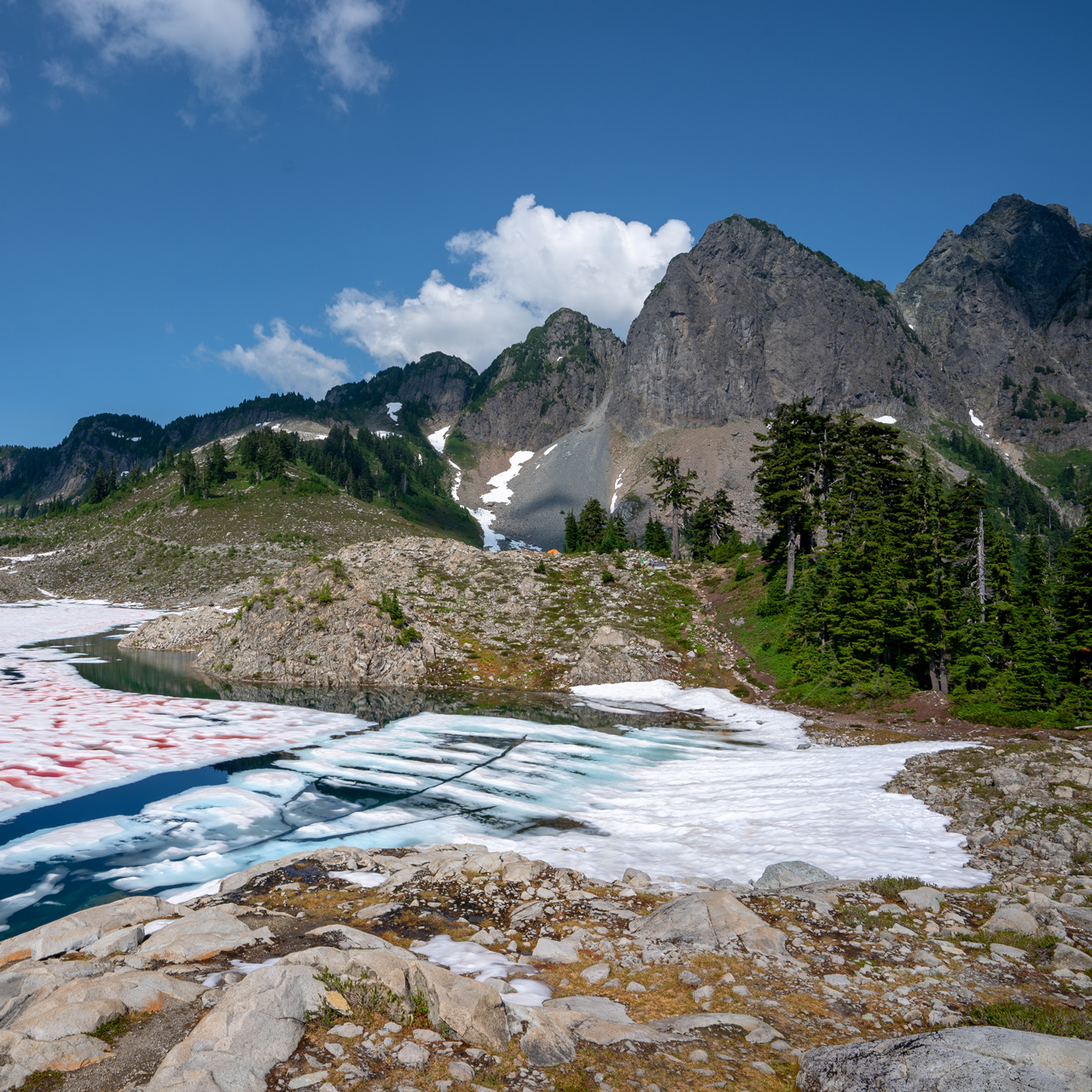

This area gets plenty of snow, and even at the beginning of August, the lake is still thawing out.
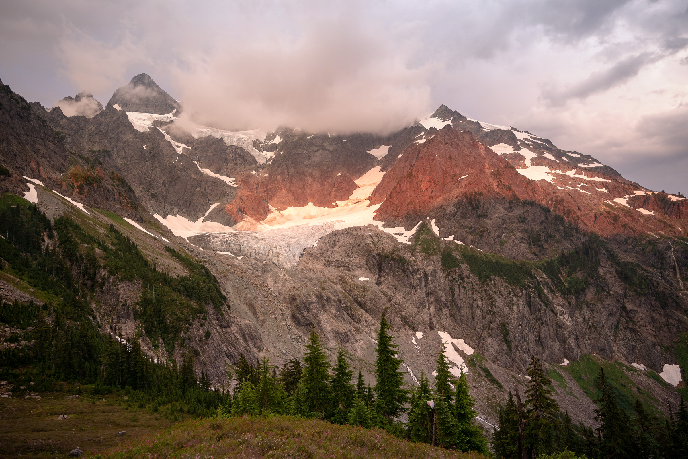
Plenty of camping spots on the ridge and all around Lake Ann give you an opportunity to see the evening alpen glow.

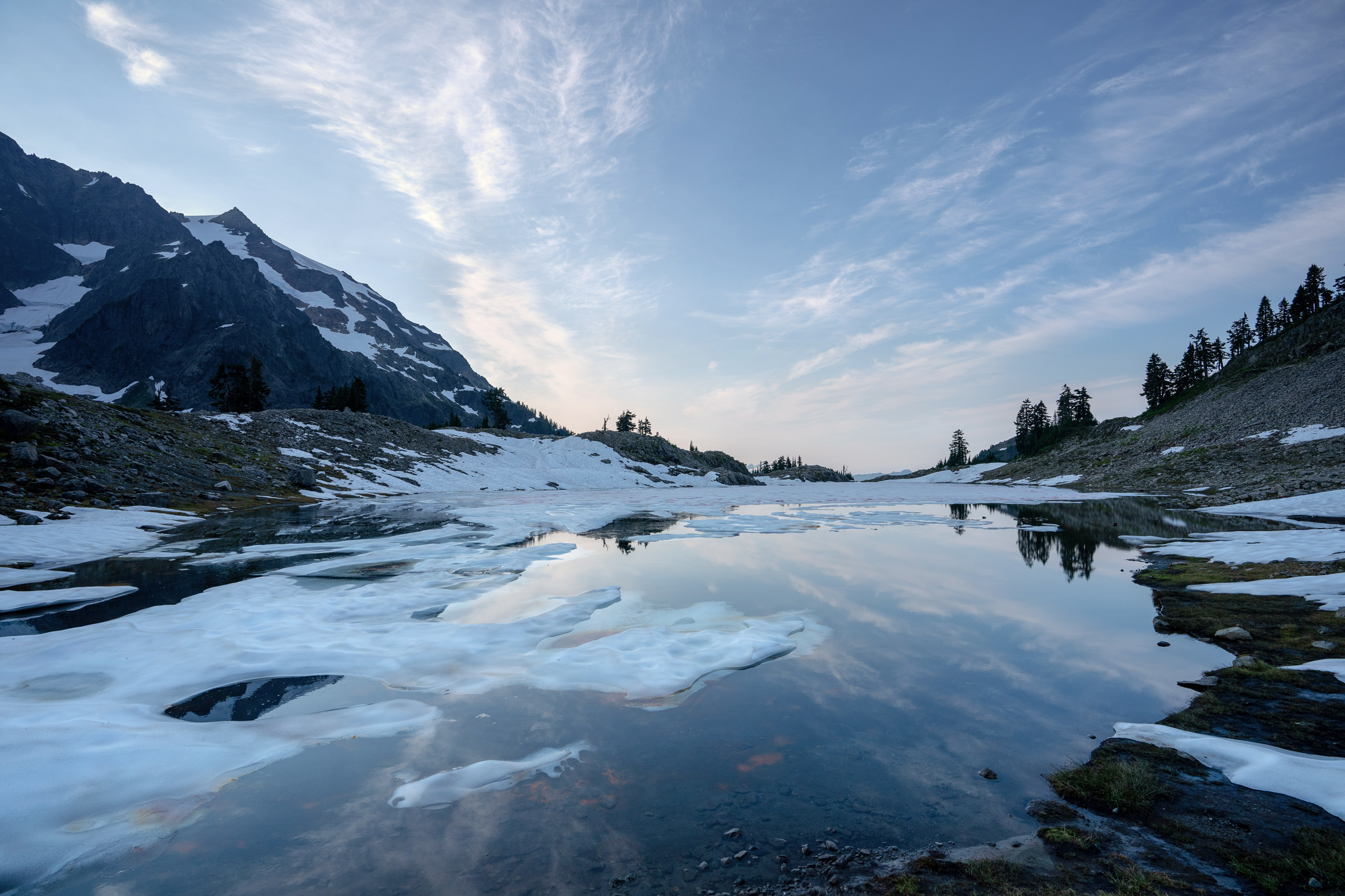
The still morning water is perfect for capturing reflections on the surface of Lake Ann.
Directions
The trailhead to Lake Ann is located on the Mt. Baker Highway, 1 mile before reaching the Artist Point parking area.
There is a small parking area on the side of the road next to the Lake Ann trailhead.
1
Trailhead: 48.850092, -121.686406
2
Lake Ann: 48.827943, -121.644546
More Stories


